
Field Notes
<--2012-09-27 13:15:00 | 2012-10-11 13:15:00-->Other sites visited today: Mayberry | Sherman Island | Twitchell Rice | DWR Corn
Phenocam link: Searching...
West Pond: 2012-10-04 12:30:00 (DOY 278)
Author: Cove Sturtevant
Others: Sara
Summary: Water level low (not-visible), mucky surface. All data looked good.
| West Pond
201-10-04 We arrived about 12:30 PDT. Sunny and breezy, 20.5 °C. The water level is below the surface, with a lot of muck and exposed vegetation on top. No water samples taken. The upper DO sensor was out of water (reading 36.6), the lower DO sensor was in the muck (reading 1.95). Sara cleaned the radiation sensor, 7500 and 7700. Current 7500 readings: CO2 = 388 ppm H2O = 700 mmol m-3 agc = 43.8 7700 readings: CH4 = 1.85 ppm RSSI = 27 (bumped to 66 after cleaning) Reservoir was full. |
1 photos found
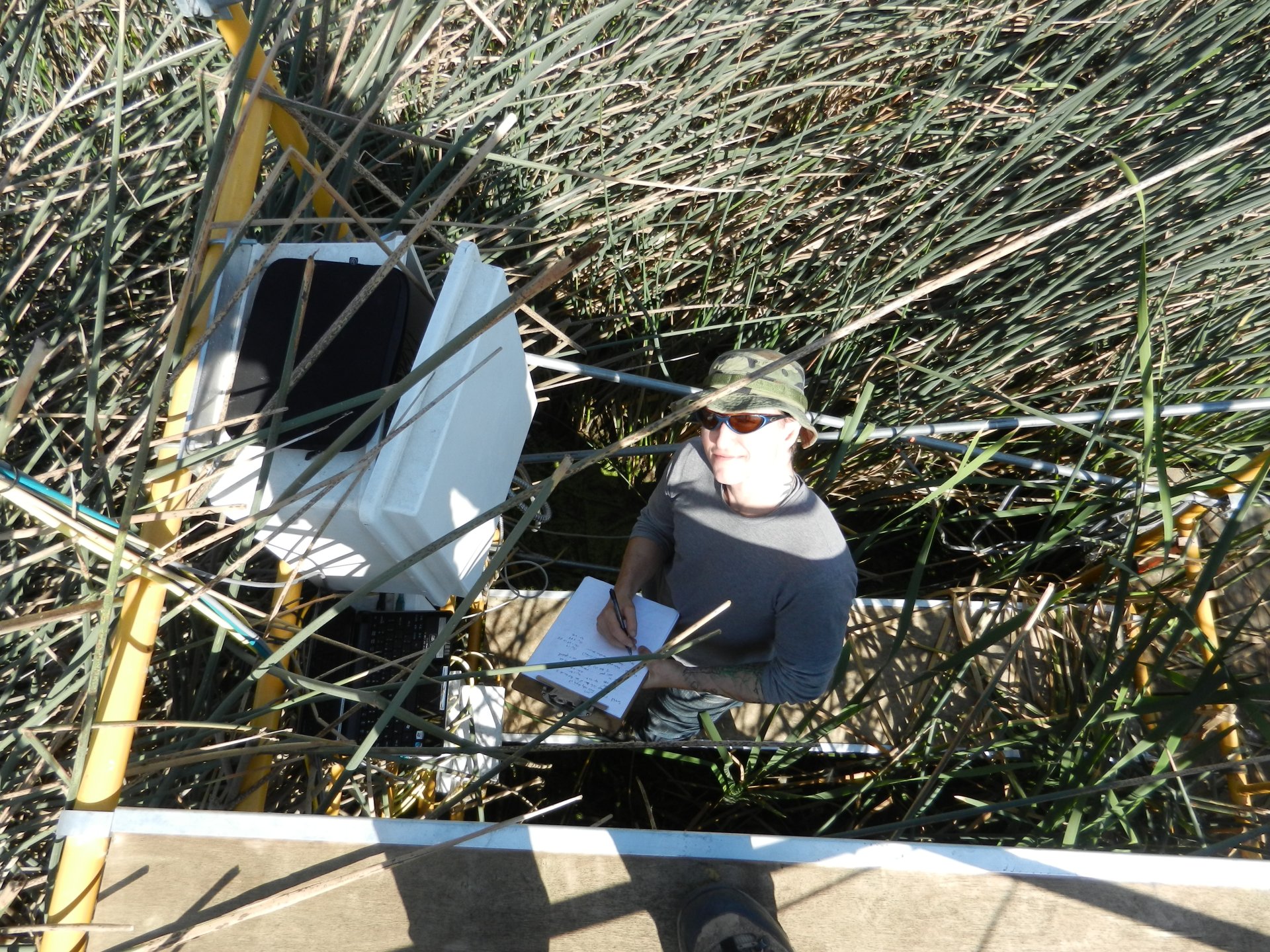
20121004WP_Cove.jpg ( 2012-10-04 12:30:06 ) Full size: 1920x1440
Cove at West Pond
8 sets found
Can't check WP_DO
1 WP_DO graphs found
14 WP_met graphs found
5 WP_flux graphs found
Can't check MBWPEESWGT_mixed
Can't check MBEEWPSWEPGT_cam
Can't check MBSWEEWPBCBA
1 WP_processed graphs found
No data found for WP_arable.