
Field Notes
<--2021-11-17 11:00:00 | 2022-01-06 14:25:00-->Other sites visited today: Tonzi | Hill Slough
Phenocam link: Searching...
Vaira: 2021-12-02 09:00:00 (DOY 336)
Author: Joe Verfaillie
Others:
Summary: reinstalled another FD chamber, swapped 7500 for calibration, spectra measurements failed, turned on cow fence.
| Vaira 2021-12-02 I arrived at about 9:00 PST. The Delta was all in heavy fog. Here it was sunny and mild with little to no breeze. The grass is 5cm to 15cm tall - longer under the trees. The ground is still moist mostly from overnight dew. The puddles on the road have dried up and the water hole is a little less than completely full. The tress still have a lot of green leaves here. I installed another FD chamber sn FD20180047 to replace the one I removed last time at the west profile. The old location had become kind of a hole with almost no litter left. I chose a new location about 10cm away, pulled the green grass and installed the chamber. I think we should move these chambers each dry season to a new location. We need to balance the disturbance and change in location with the effects caused by leaving the chamber protecting/shielding the same bit of soil years on end. I swapped the 7500 for calibration: sn 0042 came off and sn 75H-2182 went on. 0042 read: 432.6ppm CO2, 382.7mmol/m3 H2O, 100.1kPa, 17.2C, 103.4SS 2182 read: 440.2ppm CO2, 380.4mmol/m3 H2O, 100.1kPa, 17.6C, 100.4SS I updated the pressure coefficients and reset the box. I measured the well depth and collected the met, flux, FD data and camera. I did spectra measurements but was not real happy with them. The reflectance plot on the JAZ seemed to be off scale on the high end. I need to look at the data to see if it was just a plotting issue. Yep, all the spectra are off scale starting at about 750-850nm. I did not go to the pond. I turned on the electric fence. The cows seem to be beating a path around the outside of the fence. Last time I though the fence charger sounded funny but it seemed okay this time and was creating an energetic arc when I held the line to a fence post. The needle is stuck in the middle of the dial but otherwise it seems okay. I left at about 10am |
Field Data
No tank data
Well Depth
| Date | Location | Depth (feet) |
|---|---|---|
| 2021-12-02 | VR_well | 57.6 |
| 2021-12-02 | TZ_floor | 32.15 |
| 2021-12-02 | TZ_road | 39.75 |
| 2021-12-02 | TZ_tower | 36.15 |
| 2021-12-02 | HS | 6.38 |
mode = both
Moisture Point Probes TZ
Array
(
[0] => Tower_1
[1] => Soil_Transect_4_1
[2] => Soil_Transect_3_1
[3] => Soil_Transect_2_1
[4] => Soil_Transect_1_1
[5] => SoilCO2_West_A_1
[6] => SoilCO2_West_B_1
[7] => SoilCO2_West_C_1
[8] => Tower_2
[9] => Soil_Transect_4_2
[10] => Soil_Transect_3_2
[11] => Soil_Transect_2_2
[12] => Soil_Transect_1_2
[13] => SoilCO2_West_A_2
[14] => SoilCO2_West_B_2
[15] => SoilCO2_West_C_2
[16] => Tower_3
[17] => Soil_Transect_4_3
[18] => Soil_Transect_3_3
[19] => Soil_Transect_2_3
[20] => Soil_Transect_1_3
[21] => SoilCO2_West_A_3
[22] => SoilCO2_West_B_3
[23] => SoilCO2_West_C_3
[24] => Tower_4
[25] => Soil_Transect_4_4
[26] => Soil_Transect_3_4
[27] => Soil_Transect_2_4
[28] => Soil_Transect_1_4
[29] => SoilCO2_West_A_4
[30] => SoilCO2_West_B_4
[31] => SoilCO2_West_C_4
)
| Date | DOY | Rep | Depth | Tower_1 |
Soil_Transect_4_1 |
Soil_Transect_3_1 |
Soil_Transect_2_1 |
Soil_Transect_1_1 |
SoilCO2_West_A_1 |
SoilCO2_West_B_1 |
SoilCO2_West_C_1 |
Tower_2 |
Soil_Transect_4_2 |
Soil_Transect_3_2 |
Soil_Transect_2_2 |
Soil_Transect_1_2 |
SoilCO2_West_A_2 |
SoilCO2_West_B_2 |
SoilCO2_West_C_2 |
Tower_3 |
Soil_Transect_4_3 |
Soil_Transect_3_3 |
Soil_Transect_2_3 |
Soil_Transect_1_3 |
SoilCO2_West_A_3 |
SoilCO2_West_B_3 |
SoilCO2_West_C_3 |
Tower_4 |
Soil_Transect_4_4 |
Soil_Transect_3_4 |
Soil_Transect_2_4 |
Soil_Transect_1_4 |
SoilCO2_West_A_4 |
SoilCO2_West_B_4 |
SoilCO2_West_C_4 |
Avg | Spacial Count |
Measurement Count |
|---|---|---|---|---|---|---|---|---|---|---|---|---|---|---|---|---|---|---|---|---|---|---|---|---|---|---|---|---|---|---|---|---|---|---|---|---|---|---|
| 2021-12-02 | 336 | 0 | nan | 28.8 | 11.8 | 19.4 | 21.2 | 14.7 | 24.7 | 26.1 | 19.4 | 30.4 | 23.7 | 30.4 | 29.5 | 14.5 | 32.3 | 17.9 | 27.7 | 31.3 | 23.5 | 29.9 | 32.1 | 29.9 | 39.9 | 33.2 | 34.9 | 40.8 | 29.7 | 40 | 48 | 30.9 | 37.7 | 48 | 48 | |||
| 2021-12-02 | 336 | 1 | nan | 29.1 | 11.8 | 15 | 20.9 | 14.7 | 25.6 | 26.4 | 19.7 | 30.1 | 21.3 | 30.1 | 28.9 | 14.8 | 31 | 18.2 | 28 | 30.4 | 22.6 | 29.9 | 31.5 | 29.6 | 39.6 | 33.8 | 34.9 | 41.1 | 29.1 | 40 | 47.7 | 30.2 | 39.7 | 47.7 | 48.6 | |||
| 2021-12-02 | 336 | Avg | 0-15cm | 0 | 0 | |||||||||||||||||||||||||||||||||
| 2021-12-02 | 336 | Avg | 15-30cm | 0 | 0 | |||||||||||||||||||||||||||||||||
| 2021-12-02 | 336 | Avg | 30-45cm | 0 | 0 | |||||||||||||||||||||||||||||||||
| 2021-12-02 | 336 | Avg | 45-60cm | 0 | 0 |
No VR Moisture Point data found
No TZ grass heigth found
No VR grass heigth found
No VR Tree DBH found
No water potential data found
No VR Grass Biomass data found
No VR OakLeaves Biomass data found
No VR PineNeedles Biomass data found
1 photos found
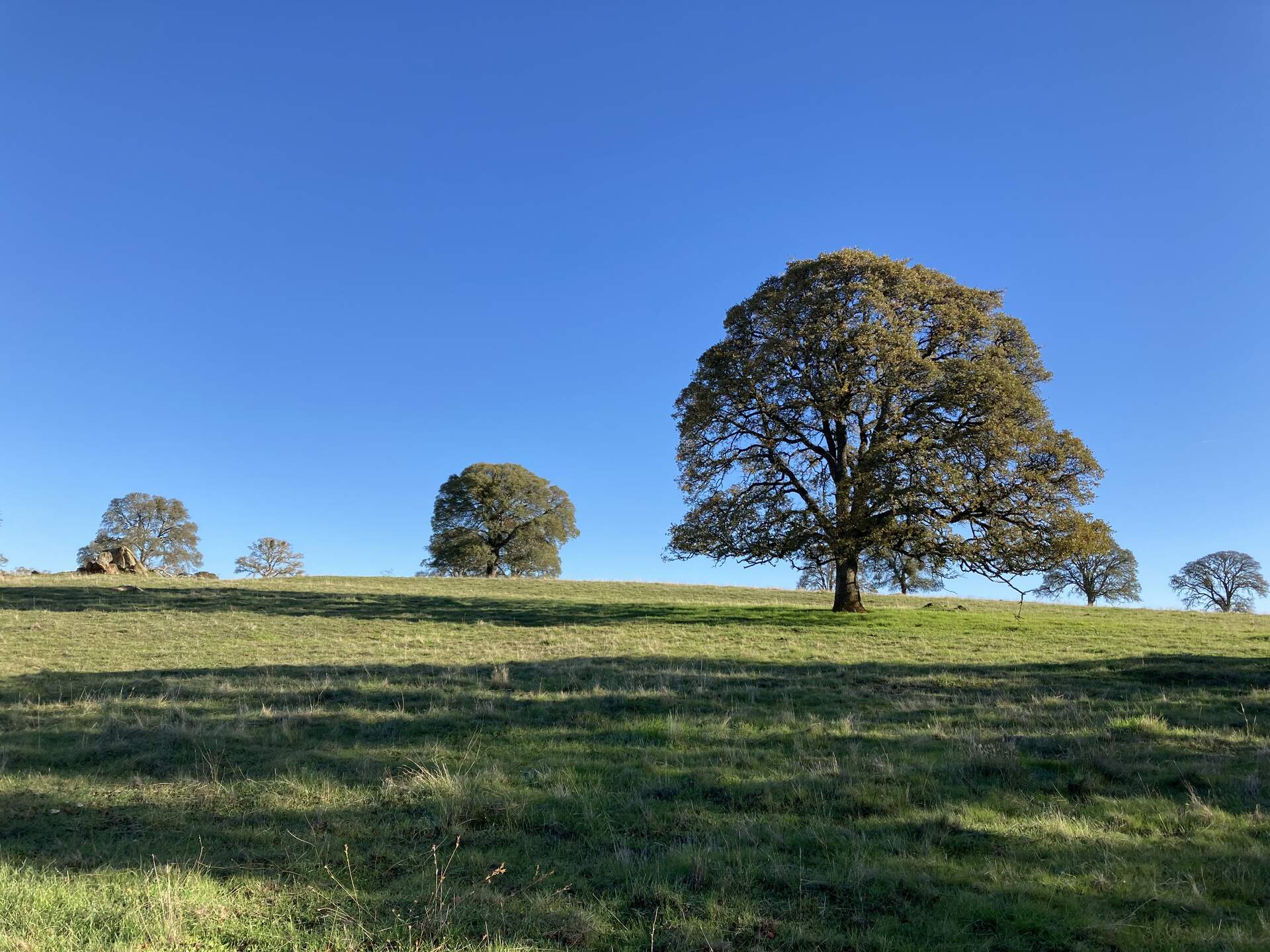
20211202VR_TreesGrass.jpg ( 2021-12-02 09:03:17 ) Full size: 1920x1440
Blue skies and green grass and trees
9 sets found
16 VR_met graphs found
2 VR_flux graphs found
2 VR_soilco2 graphs found
2 VR_pond graphs found
Can't check TZVR_mixed
3 VR_fd graphs found
4 VR_processed graphs found
4 VR_arable graphs found
No data found for VR_soilvue.