Field Notes
<--2021-04-27 12:05:00 | 2021-05-27 12:15:00-->Other sites visited today: Hill Slough | Bouldin Alfalfa | West Pond | East End | Sherman Wetland | Mayberry
Phenocam link: Searching...
Bouldin Corn: 2021-05-13 10:55:00 (DOY 133)
Author: Daphne Szutu
Others: Joe
Summary: Regular data collection/cleaning, corn has sprouted, moved PL Arables to field, tested Theta sensor - ok
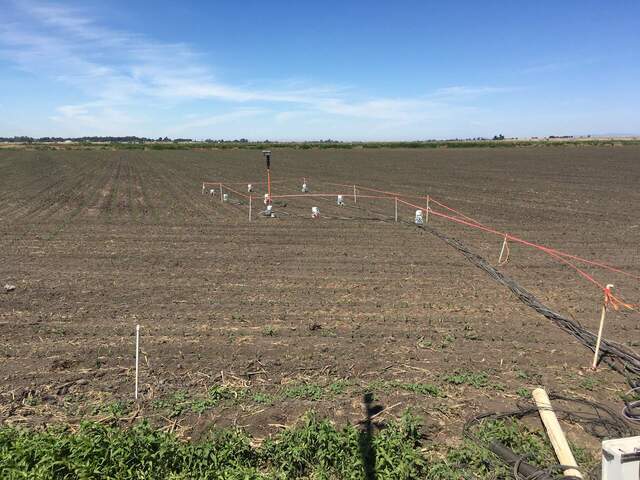
| 2021-05-13 Bouldin Corn Joe and I arrived at 10:55 PDT. It was a breezy, warm, and mostly clear. Tyler was at the site testing his chambers. Corn has been planted and has grown to 10cm height already. Joe moved the PL Arable post from the south side of the tower to the field, among Tyler’s chambers. New Arable height was 2.20m. I downloaded met, camera, and USB GHG data. I downloaded and cleared the FD chamber. I downloaded PA data and power-cycled the sensor. Joe cleaned the flux and rad sensors. The reservoir was 1/3 empty; we refilled. I replaced the screw terminal strip with a longer one that fits all 9 sensors nicely (2 SRS NDVI sensors, 2 PRI sensors, 2 Apogee NDVI sensors, 3 soil moisture sensors). Camilo noticed the Theta probe had been reading lower this past winter than in earlier winters so we checked on it today. When I went to go pull it out, it came out really easily because it had been installed in an air pocket. An air pocket would cause a lower VWC reading, but this sensor was installed on 2021-02-03 when we moved the tower back after it fell down. The air pocket might explain low values since February, but not before. I put the tines in a bottle of water and it read 1,114 mV, so I think the sensor is working ok. I reinstalled the sensor back into packed soil; the tines are under the surface but the body of the probe is on top of the soil. LI-7500 readings: CO2 353ppm H2O 1050ppm (seems high but I forgot to check it after cleaning) T 20.1C P 101.5kPa SS 92-->102 after cleaning LI7700 readings: CH4 1.9 RSSI 41-->71 after cleaning We left around 11:30 PDT. |
2 photos found

20210513BC_FieldPlanted.jpg ( 2021-05-13 11:27:13 ) Full size: 1920x1440
The field has been planted and sprouts are 10cm tall

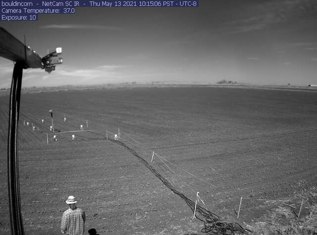
bouldincorn_IR_2021_05_13_101506.jpg ( 2021-05-13 10:17:06 ) Full size: 1296x960
Joe in IR
6 sets found
17 BC_met graphs found
5 BC_flux graphs found
Can't check TATWBABCSB_cam
Can't check MBSWEEWPBCBA
2 BC_pa graphs found
1 BC_arable graphs found

