
Field Notes
<--2024-06-24 12:00:00 | 2024-06-26 09:45:00-->Other sites visited today: Gilbert Tract | Mayberry
Phenocam link: Searching...
Hill Slough: 2024-06-25 09:50:00 (DOY 177)
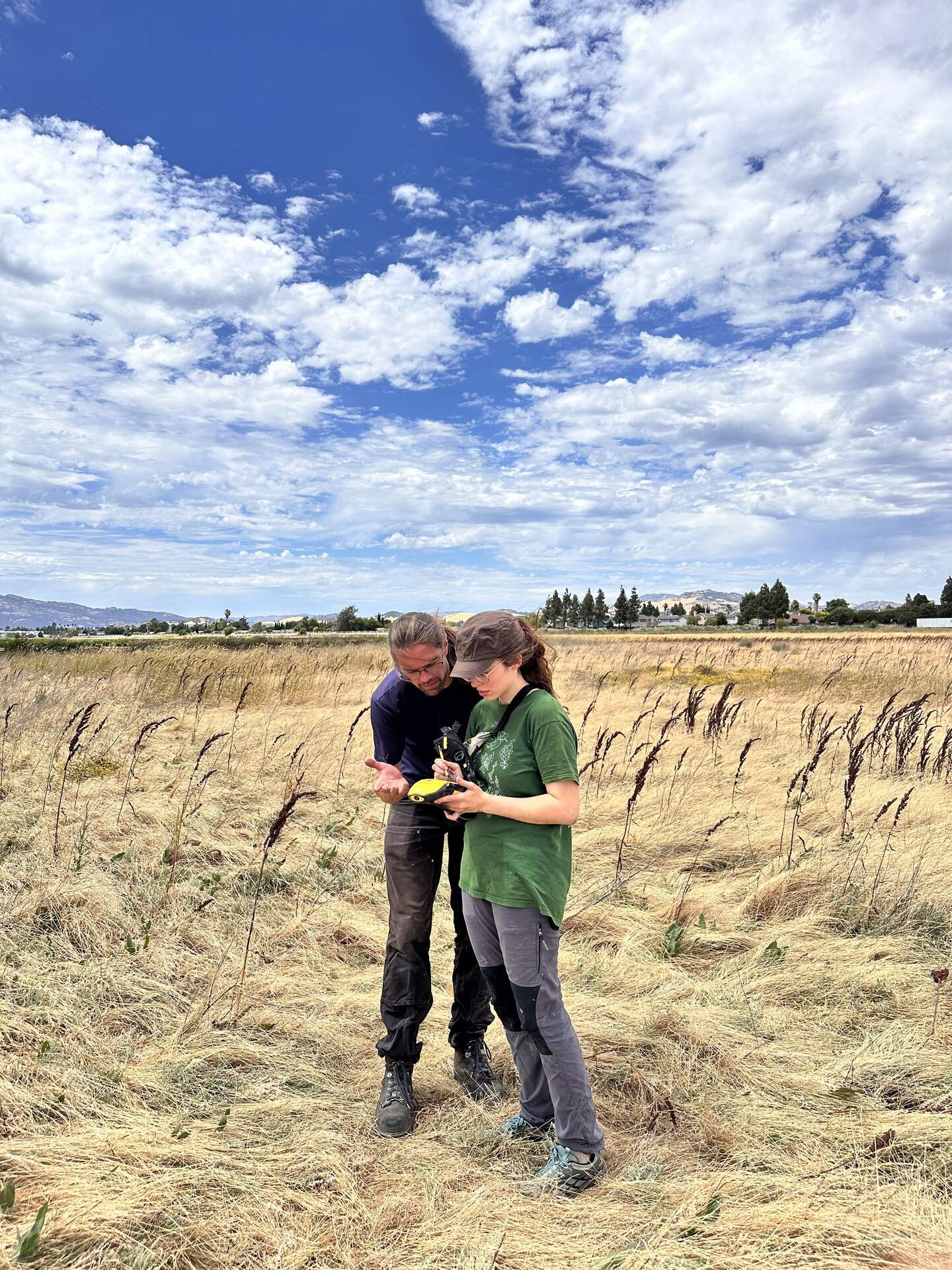
Author: Irene Alorda Montiel
Others: Robert, Koong
Summary: Day 2 of soil samples (HSM_6, HSM_4 and HSM_3), and GPS measurements of HSM_9 and HSM_8.
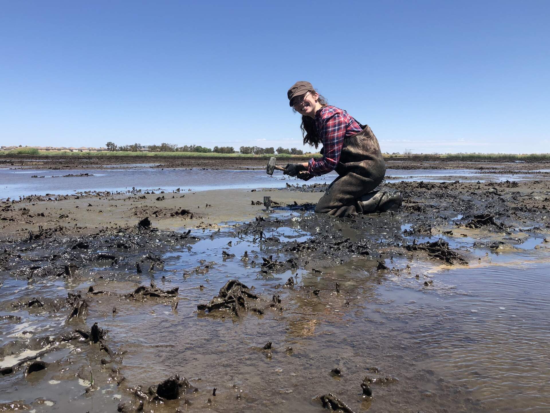
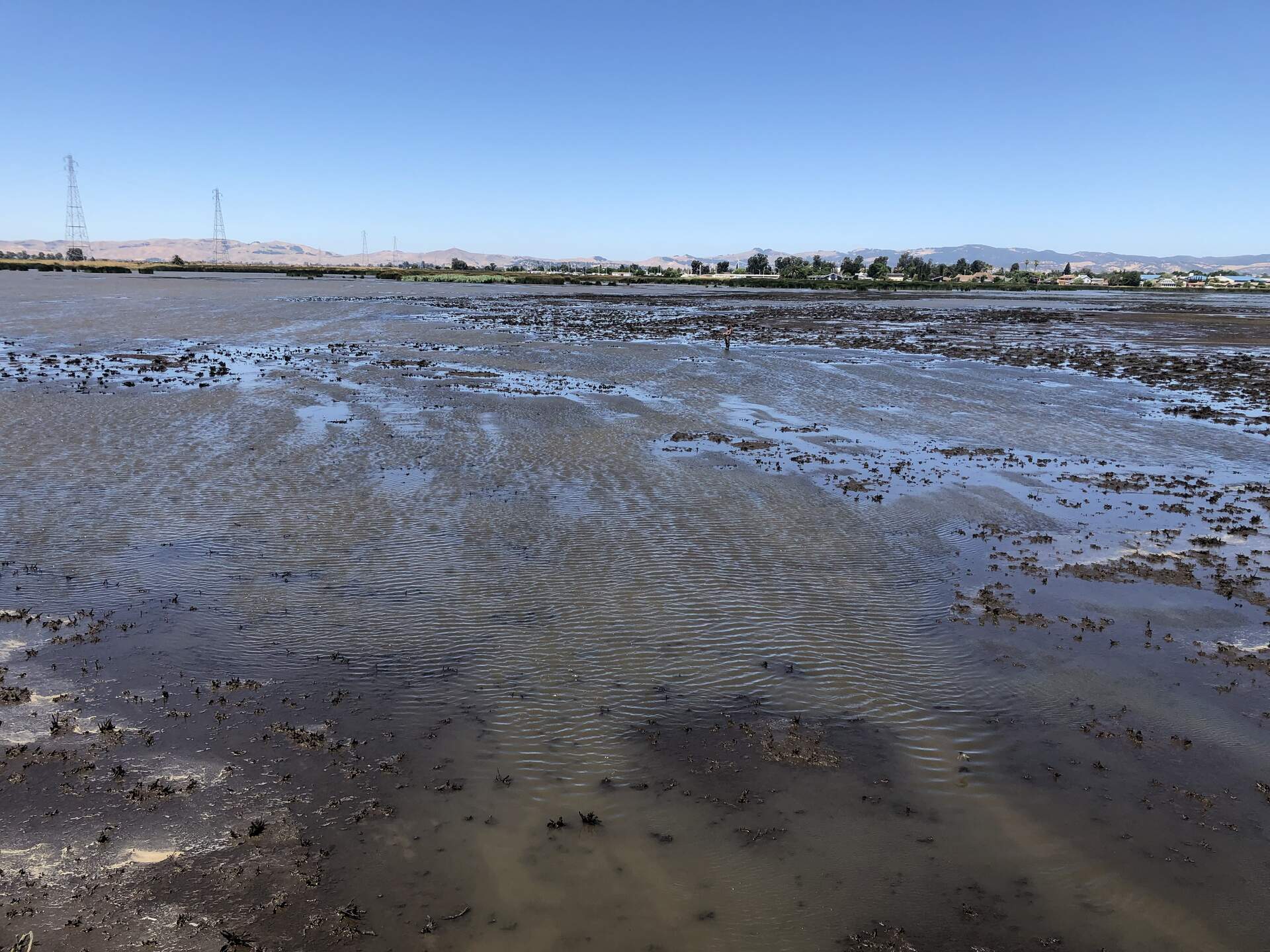
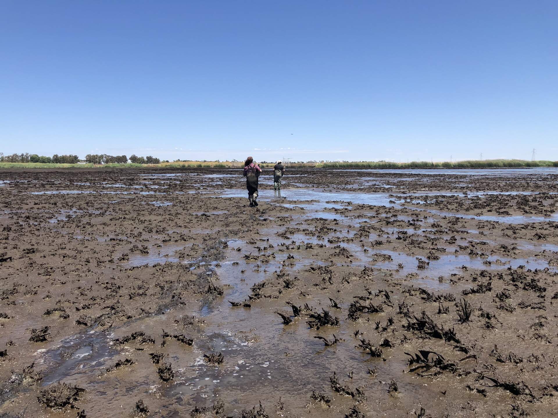
| Robert, Koong and I (Irene) arrived at Hill Slough around 9:50 am. The sky was clear and it was warm but not too hot. We had to wait for the tide to lower, so we went to site Hsm_9 to recover the rod left there on 6/12/24 and we took an RTK GPS measurement. The GPS was not looking for satellites but Robert looked up the instructions on the internet and got it to work! We then moved to sample location Hsm_6. There was around 20 cm of water column above the sediment, and dead and decomposing vegetation. There were black particles in the water that looked like rubber. We extruded three cores there, roughly considering N, S and E as reference points. We did not measure the distance between them but they were around 1 m apart. We did the RTK GPS measurement, but we did not measure compaction of the cores on site because either we lost the hole or it filled out quite fast with water and runny sediments. Then we moved to Hsm_4, which had a lower water column but was still flooded and with decomposing vegetation. We sampled the cores following the same procedure, but they were slightly farther apart. We had to repeat one core since it was not as long as we wanted it to be. We did the RTK measurement. After that, we went to sample Hsm_3, which was muddy and with green biofilm on top of soils. We stopped for lunch around 14:30 PST. We got back to Hsm_9 to redo the RTK GPS measurement because Robert did not do it from the stipulated height. Then we tried to get to Hsm_8 to do the RTK GPS measurements and recover the rod. We got to the point in the map using GPSwaypoints app (The Google Maps point was slightly further away). It seemed we were somewhere someone had stepped on but we could not find the rod. We still took the GPS measurement. |
16 photos found
20240626HS_Hsm2.jpg ( 2024-06-26 13:47:57 ) Full size: 1920x1440
Irene and Eddie taking a core at HSM_2
20240626HS_Hsm2Irene.jpg ( 2024-06-26 13:48:33 ) Full size: 1920x1440
Wetland Barbie: Her job is just wetland
20240626HS_Irene.jpg ( 2024-06-26 11:33:08 ) Full size: 1920x1440
A tiny Irene taking the GPS point at HSM_1
20240626HS_MuddyStroll.jpg ( 2024-06-26 14:08:00 ) Full size: 1920x1440
Irene and Eddie walking from HSM_2 back toward the tower

20240625HS_KoongRobert.jpg ( 2024-06-25 00:00:00 ) Full size: 1440x1920
Koong and Robert dragging soil coring equipment across the wetland. Taken between HSM_6 and HSM_4, and the water level got that low in that area during spring tide, even though it is close to the levees.
20240625HS_RobertGps.jpg ( 2024-06-25 00:00:00 ) Full size: 1382x1842
Robert taking GPS points in the mud pit
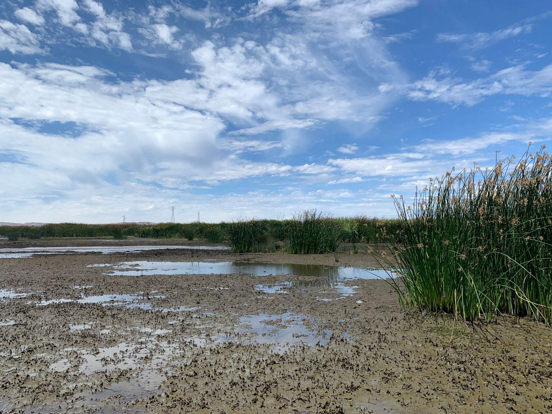
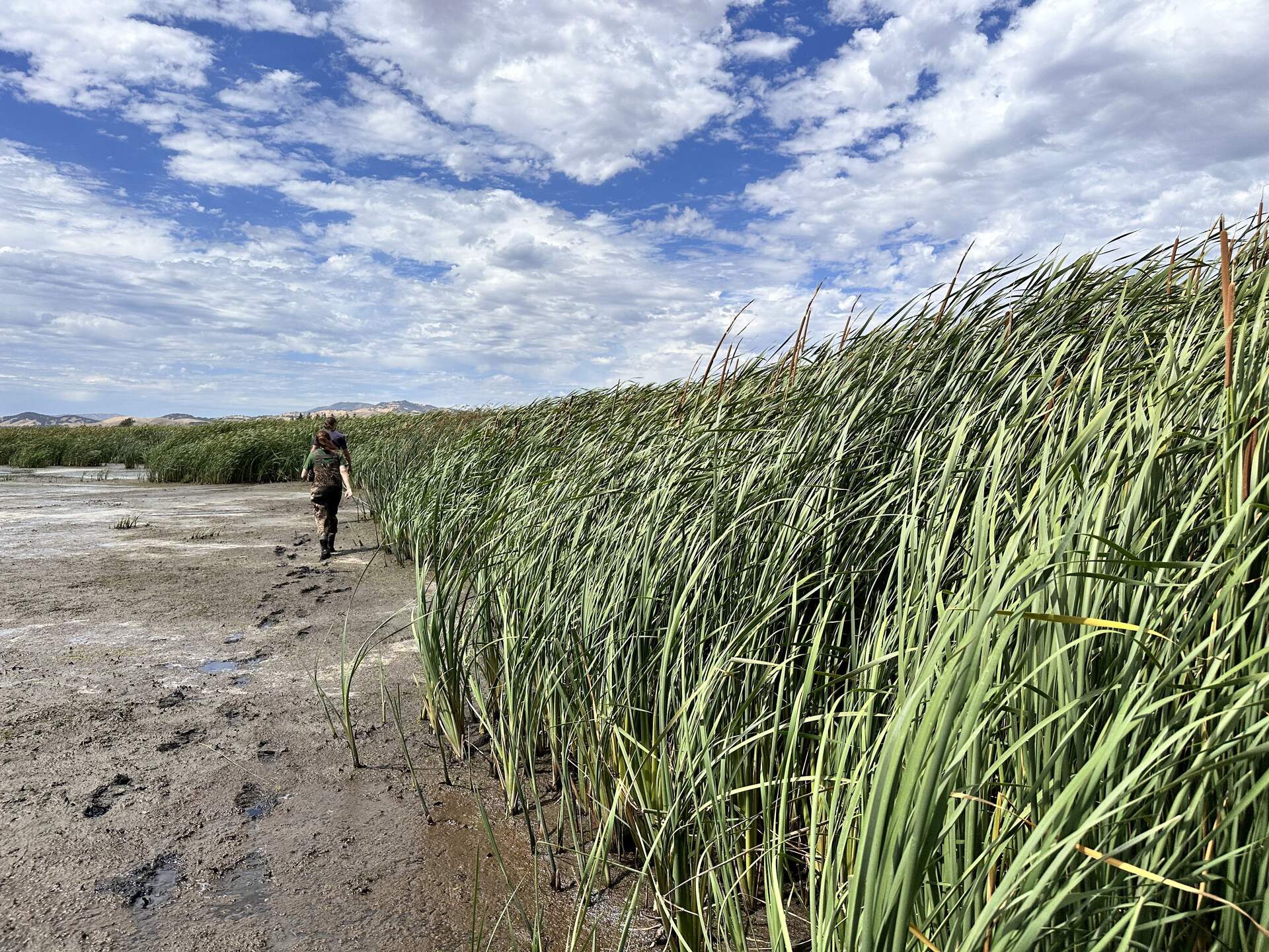
20240625HS_Tules.jpg ( 2024-06-25 00:00:00 ) Full size: 1920x1440
Tules establishing in the wetland
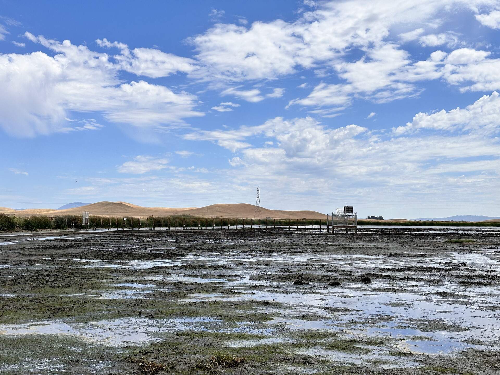
20240625HS_Boardwalk.jpg ( 2024-06-25 14:47:07 ) Full size: 1920x1440
The boardwalk and tower at low tide
20240625HS_GpsTrouble.jpg ( 2024-06-25 14:30:38 ) Full size: 1440x1920
Robert and Irene troubleshooting the GPS at HSM_9.
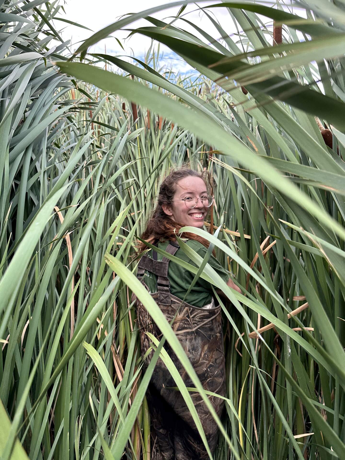
20240625HS_Irene.jpg ( 2024-06-25 14:49:54 ) Full size: 1440x1920
Irene among the cattails. We are trying to relocate HSM_8 to take its GPS point.
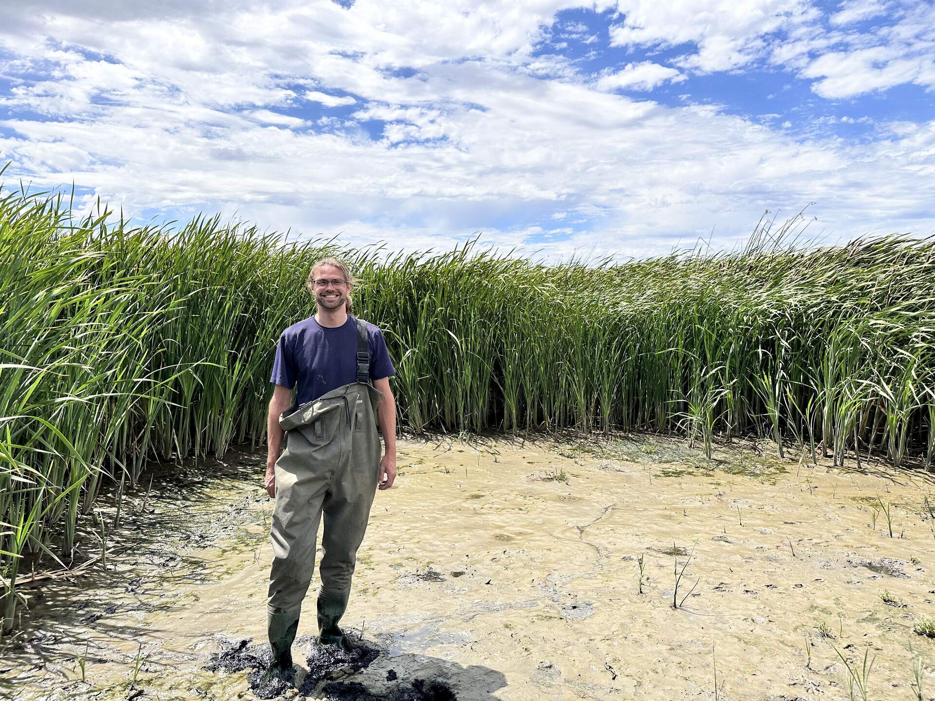
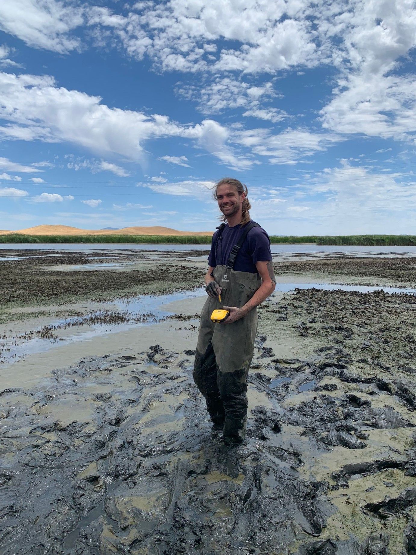
20240625HS_Robert.jpg ( 2024-06-25 14:45:37 ) Full size: 1920x1440
Robert modeling our newest waders which already have a broken clip
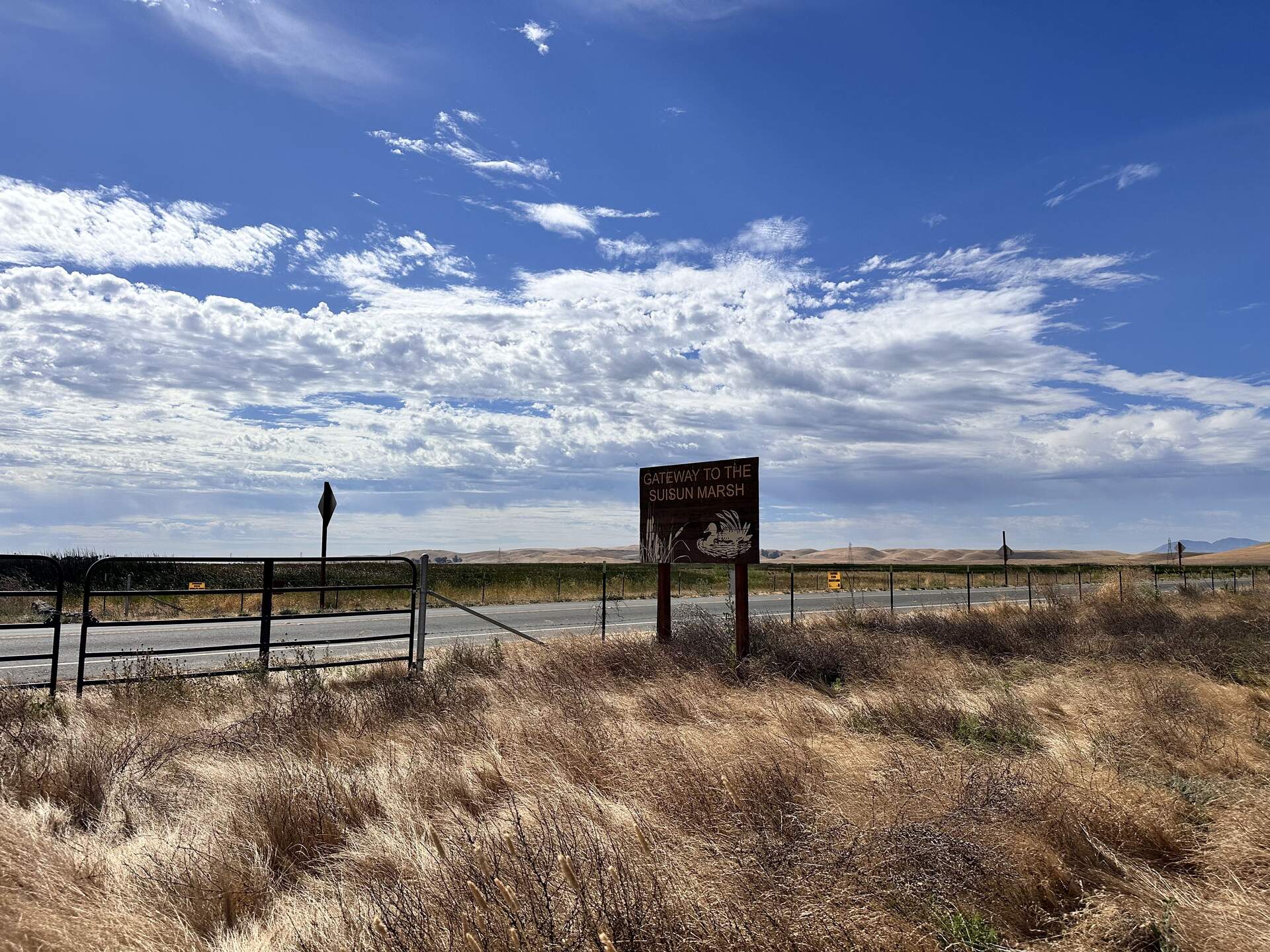
20240625HS_Sign.jpg ( 2024-06-25 09:59:17 ) Full size: 1920x1440
Welcome to Suisun Marsh!
20240625HS_Trekking.jpg ( 2024-06-25 14:47:47 ) Full size: 1920x1440
Robert and Irene trekking into the wetland. We are trying to relocate HSM_8 to take its GPS point. Either we did not find the exact point, or we could not find the tall, thin, green garden stake we used to mark the location. So the garden stake is still in there somewhere.
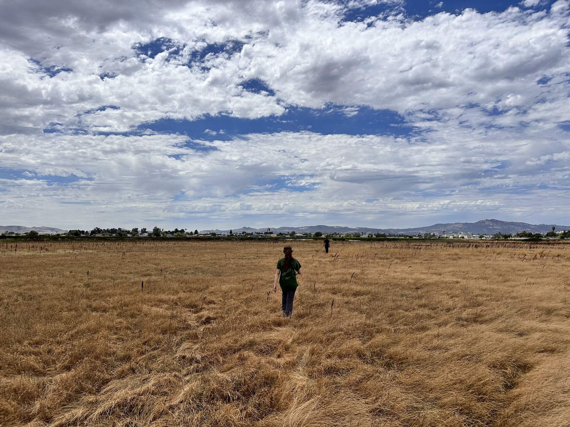
20240625HS_Upland.jpg ( 2024-06-25 14:28:56 ) Full size: 1920x1440
Irene and Robert walking into the upland section at the north end of Hill Slough marsh. We are trying to relocate HSM_9 to take its GPS point.
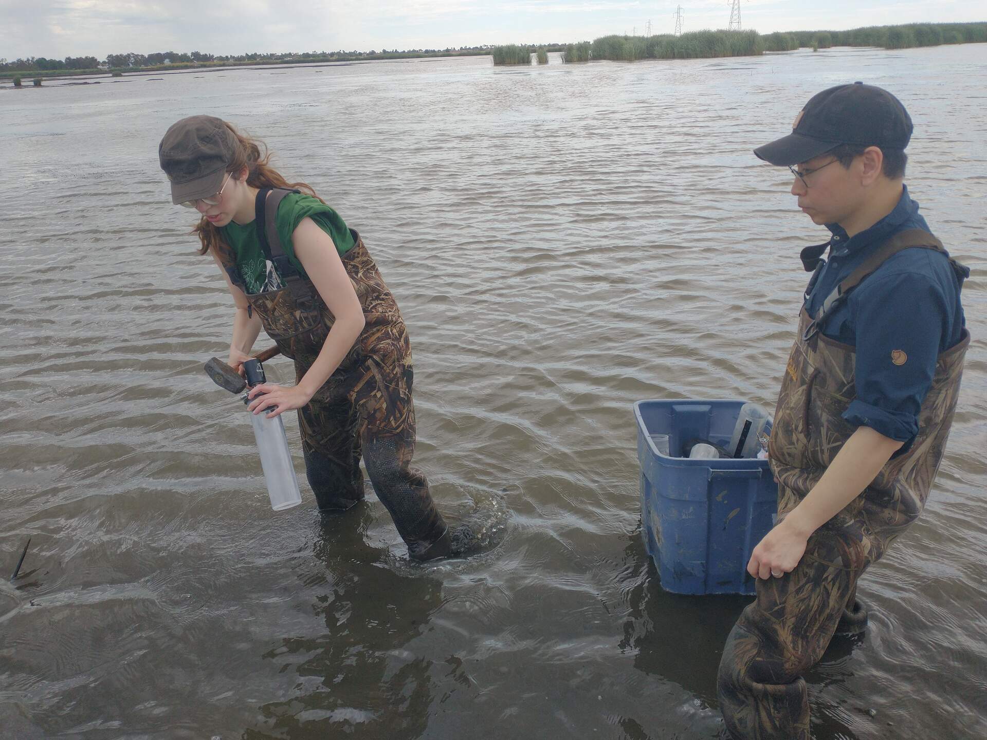
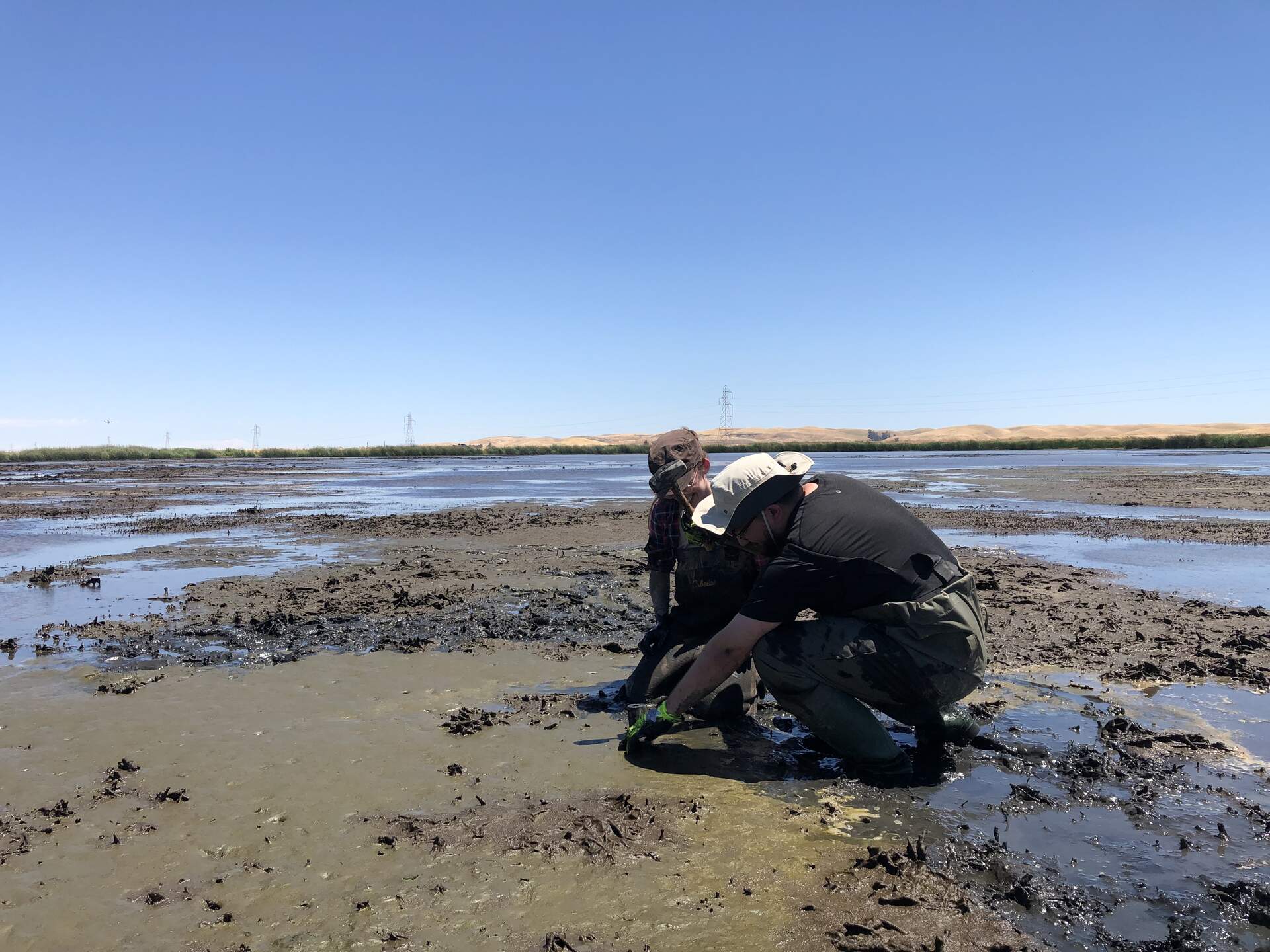
20240625HS_IreneKoong.jpg ( 2024-06-25 11:34:22 ) Full size: 1920x1440
Irene and Koong preparing to sample over standing water
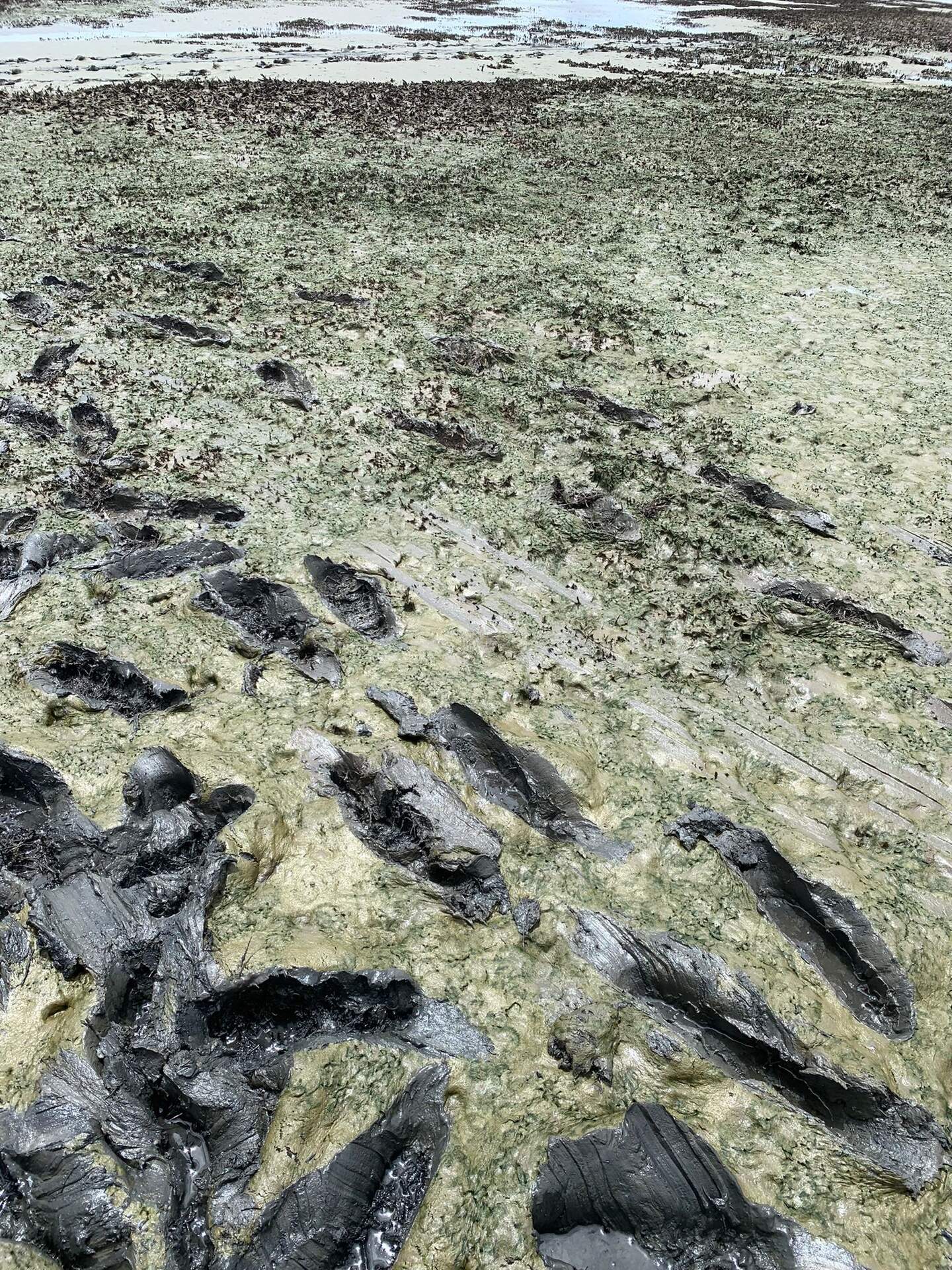
20240626HS_Hsm3Mud.jpg ( 2024-06-25 00:00:00 ) Full size: 1440x1920
Green mud near HSM_3
4 sets found
21 HS_met graphs found
4 HS_flux graphs found
1 HS_cam graphs found
Can't check HS_Processed
2 HS_Processed graphs found