
Field Notes
<--2024-06-25 09:50:00 | 2024-07-16 14:00:00-->Other sites visited today: East End
Phenocam link: Searching...
Hill Slough: 2024-06-26 09:45:00 (DOY 178)
Author: Daphne Szutu
Others: Irene, Eddie, Dim
Summary: Day 3 of soil samples (HSM_7 and HSM_2), very slow walking through the mud, regular data collection/cleaning, 7700 spray tubing broken--fixed, EXO depth data has drops--needs more work
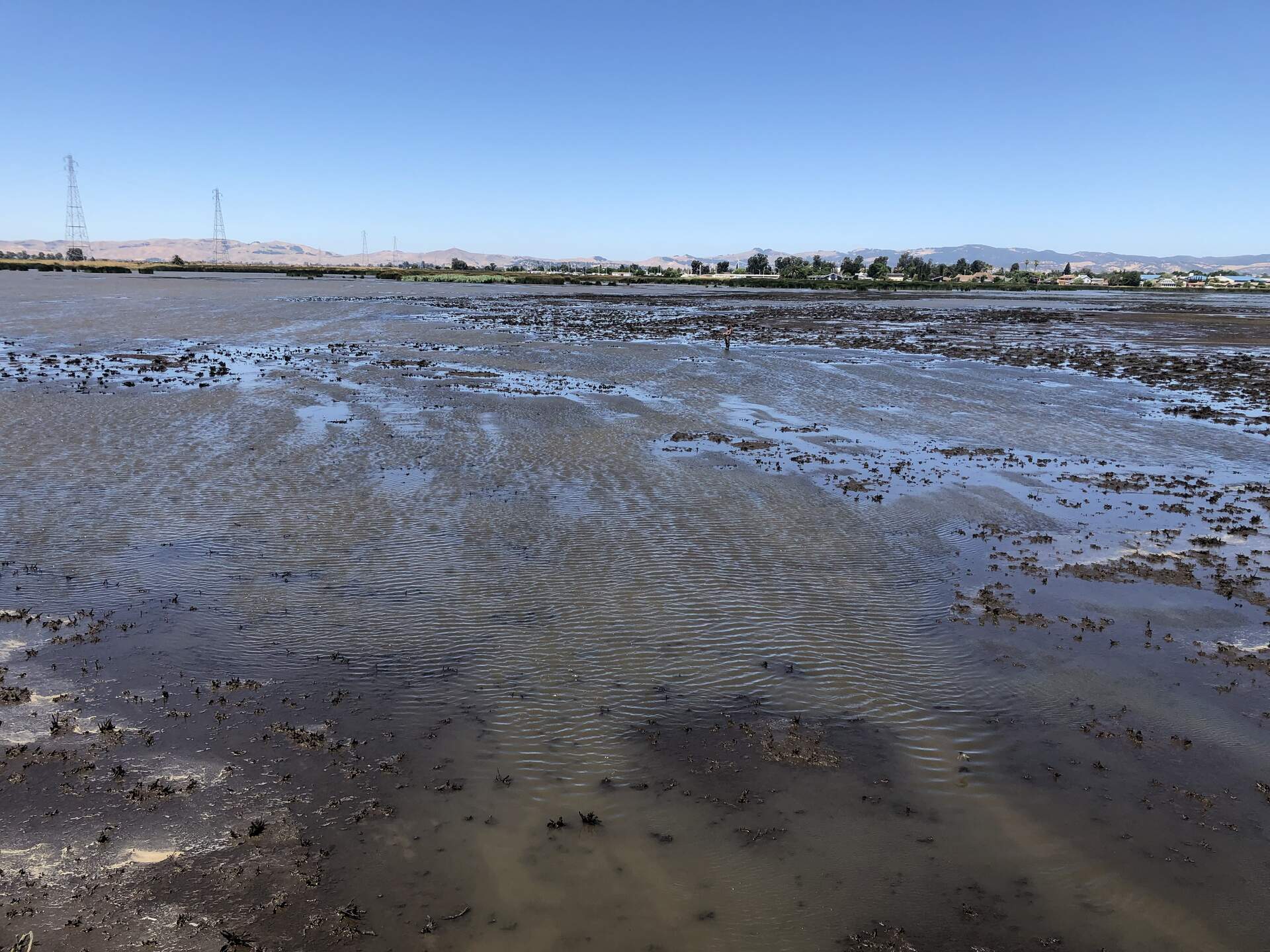
| 2024-06-26 Hill Slough Irene, Eddie, Dim, and I arrived around 9:45 PST (10:45 PDT). Today is the third and final day of Irene’s soil sampling campaign. It was sunny, warm, and moderately windy. There will be major heat wave in the next two weeks with highs near 43C (110F)!! We started at the tower so that Eddie and Dim could see an overview of the wetland. It was near low tide and most of the ground near the tower and boardwalk were exposed. I didn’t see any bubbles from the exposed ground, though, just a few bubbles in the shallow part of the channel. We then drove down the road to the point closest to HSM_7. I tried wading straight west from the road toward the point, but I was quickly in waist-deep water. We decided to service the tower first while we wait for the tide to continue ebbing. At the tower, I downloaded met, cam, and USB GHG data. I had a new CR23X program ready that should allow the CR1000 to receive the CTD conductivity data, but forgot to upload it to the CR23X. I also forgot to collect the CR23X data next time to get the most recent CTD conductivity data. Eddie cleaned flux and rad sensors. The reservoir was empty again, and he refilled it. I checked the 7700 spray/spin and noticed the tubing was disintegrating where it connected to the sprayer, so all the water was spilling out before reaching the mirror. I trimmed the tubing and zip-tied it back to the sprayer. We tested the spray and spin again and confirmed it was aimed correctly. The staff gauge read 3.7ft at 11:01 PST (12:01 PDT). We measured the porewater conductivity at the tower and the surface water conductivity at the channel. Sample, Temperature-compensated conductivity, Temperature Porewater, 5.22mS, 23.5C Surface, 5.15uS, 25.7C The 7500 read: 400ppm CO2, 611 mmol/m3 H2O, 20.5C, 101.6kPa, 94SS – 95 after cleaning The 7700 read: 1.95ppm CH4, 0RSSI – 82 after cleaning While we were servicing the tower, Irene walked out to get the GPS point of HSM_1. She also tried to measure the GPS point next to the channel water sensors, but she was sinking too much into the channel. Afterwards, we tried again to access HSM_7 from the east. The water was still hip-deep just west of the road. Irene realized that we were trying to walk across the channel that runs parallel to the road, so we decided to walk around to the levee where the power poles are and access the site from the south. The mud was so sticky and muddy that it probably took us 30 minutes to walk 75m to the site. It was like trying to wade through a knee-deep ball pit, except the balls are also covered in glue. Large steps and maintaining forward momentum helped. Dim’s waders were too big for her (and this was her first time in waders), so we decided she should stay on dry land to wait for us. We placed the dark blue plastic bin on the sled and dragged it behind us. Occasionally we’d have to dump water out of the sled. HSM_7 was still flooded, with maybe 10cm of standing water. We tied the sled to us to prevent it from drifting away in the wind. Eddie had planned to take porewater sipper samples, but decided it was too windy and muddy for him to try it for the first time. We took N, S and E as our reference points for sampling the three cores. Irene was sinking in the mud when extracting the cores. We finished at 12:05 PST. From HSM_7, we walked northwest to get to HSM_2, which probably took another hour. We passed an area where the water had a reddish tint. Iron? At HSM_2, the water was just barely at the surface and there was a green biofilm on top of the sediment. We kept the push caps on these three cores since we did not have any lids left. For the last core, we used a lid that was narrower than the tube, so we cut it so it would fit the core. After sampling, we walked northeast, along higher ground, straight back to the tower. This 250m only took 10 minutes to traverse. We picked up some litter along the road and left around 13:30 PST (14:30 PDT). The GPS points today had super large ranges ~5m, even after post-processing with Nico. This might be related to the fluidity of the mud we were standing on. Irene would like to to come back again during spring tides with the ARF GPS to take the points. Back in the lab, the EXO data is also looking funny. There are a some negative depth values, and fDOM is gradually decreasing. It's almost due for calibration anyways, so I'll bring it in next time. |
16 photos found
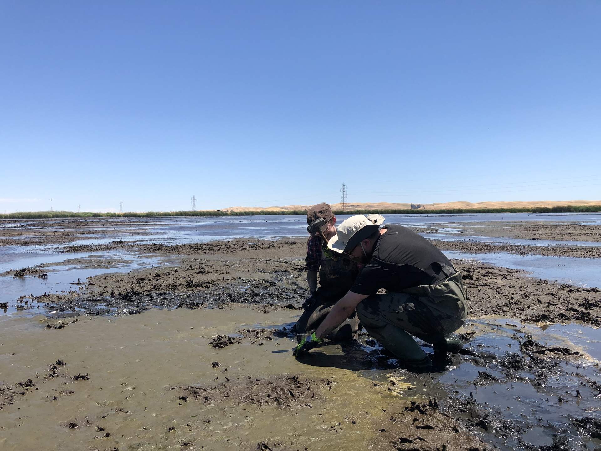
20240626HS_Hsm2.jpg ( 2024-06-26 13:47:57 ) Full size: 1920x1440
Irene and Eddie taking a core at HSM_2
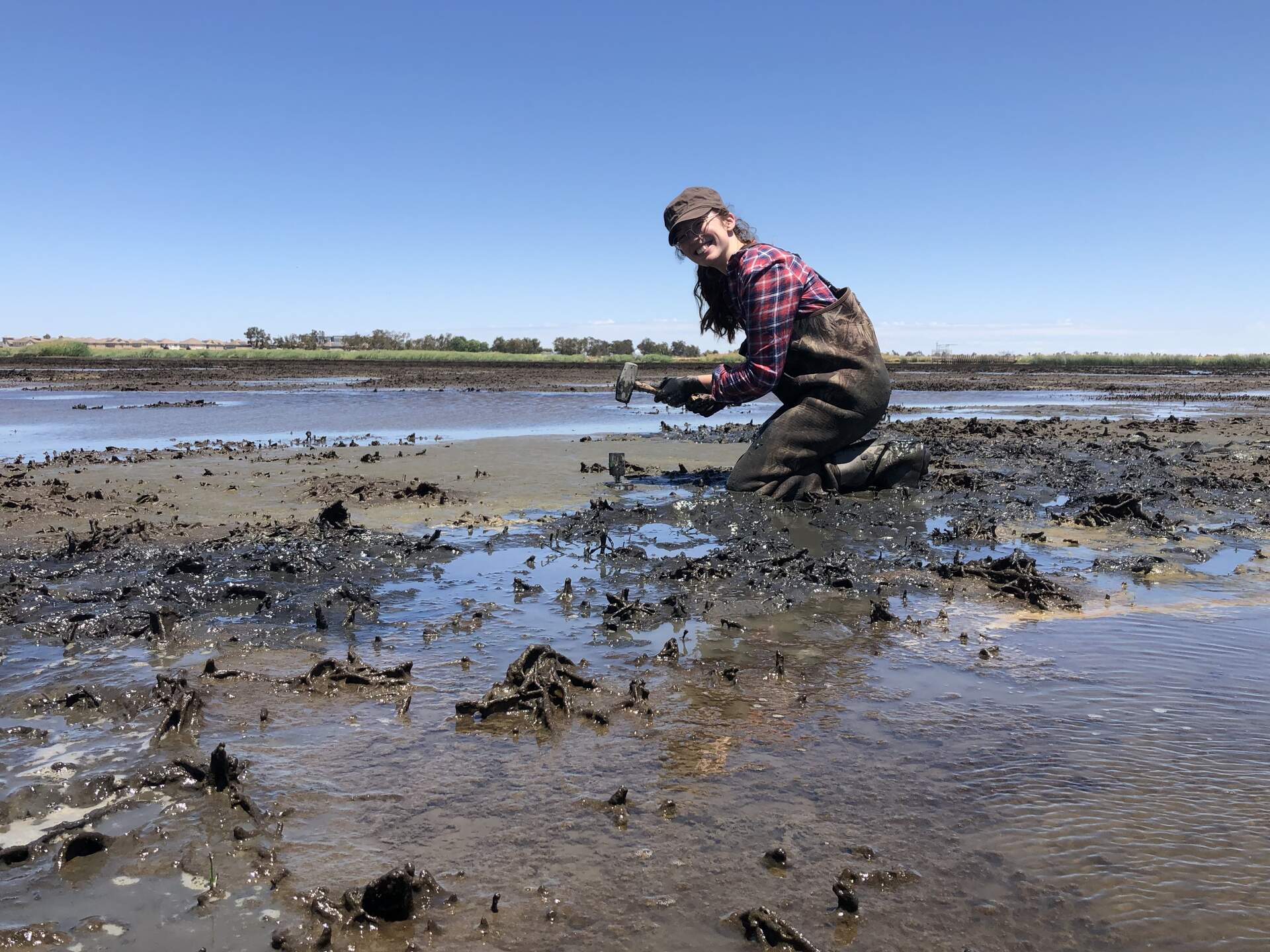
20240626HS_Hsm2Irene.jpg ( 2024-06-26 13:48:33 ) Full size: 1920x1440
Wetland Barbie: Her job is just wetland
20240626HS_Irene.jpg ( 2024-06-26 11:33:08 ) Full size: 1920x1440
A tiny Irene taking the GPS point at HSM_1
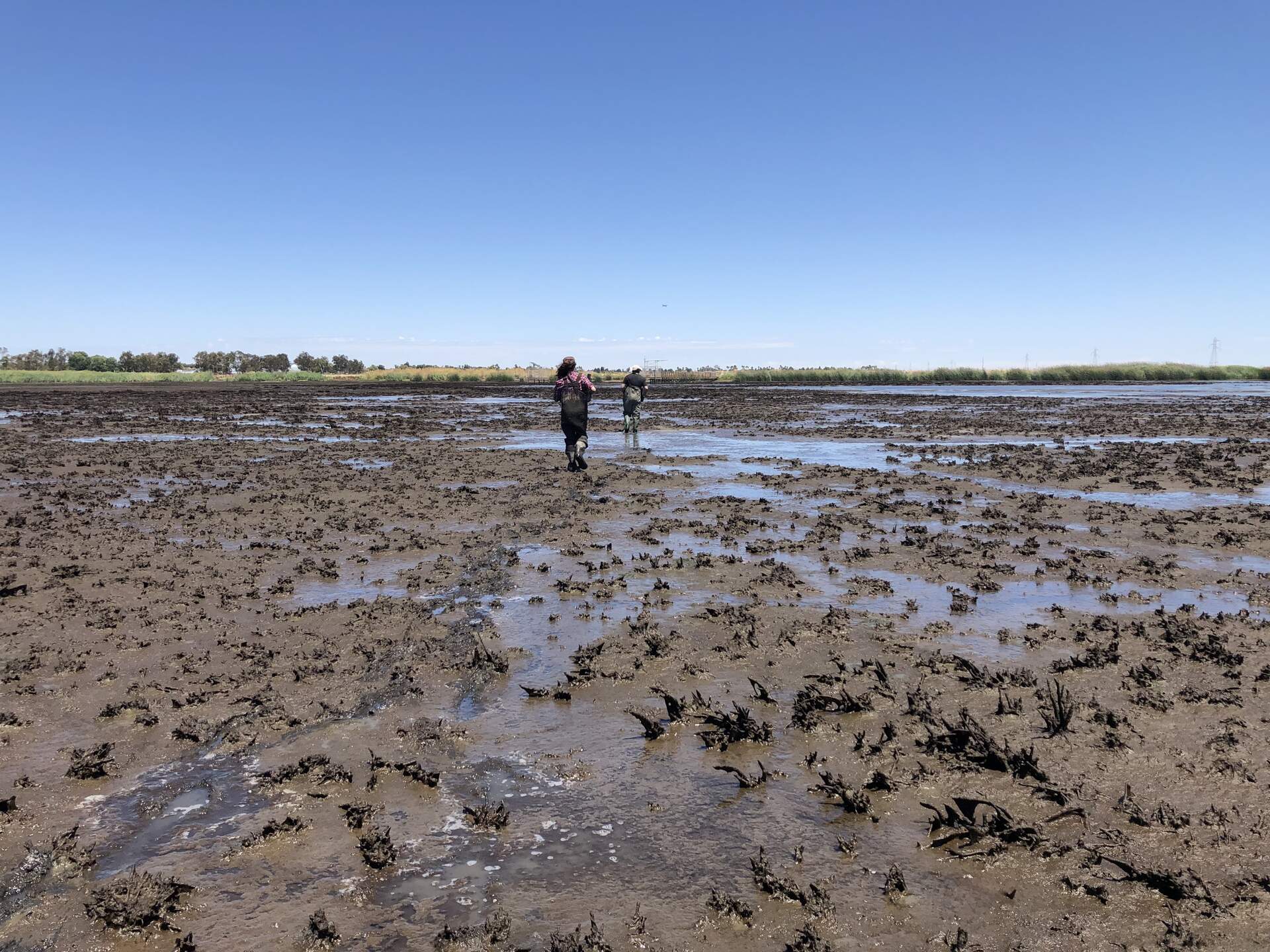
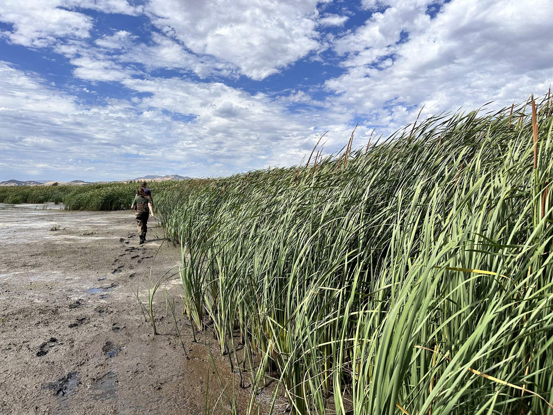
20240626HS_MuddyStroll.jpg ( 2024-06-26 14:08:00 ) Full size: 1920x1440
Irene and Eddie walking from HSM_2 back toward the tower

20240625HS_KoongRobert.jpg ( 2024-06-25 00:00:00 ) Full size: 1440x1920
Koong and Robert dragging soil coring equipment across the wetland. Taken between HSM_6 and HSM_4, and the water level got that low in that area during spring tide, even though it is close to the levees.
20240625HS_RobertGps.jpg ( 2024-06-25 00:00:00 ) Full size: 1382x1842
Robert taking GPS points in the mud pit
20240625HS_Tules.jpg ( 2024-06-25 00:00:00 ) Full size: 1920x1440
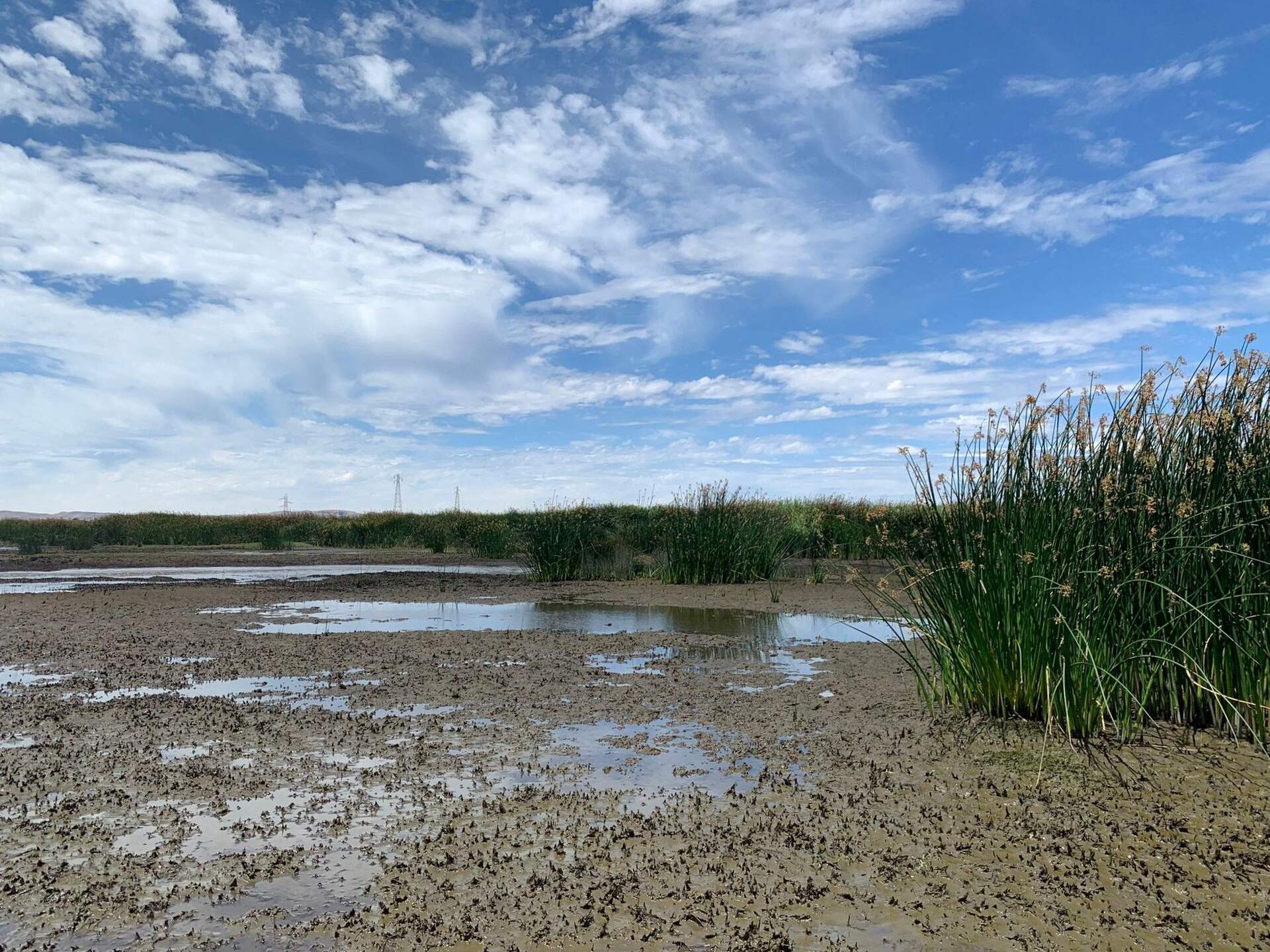
Tules establishing in the wetland
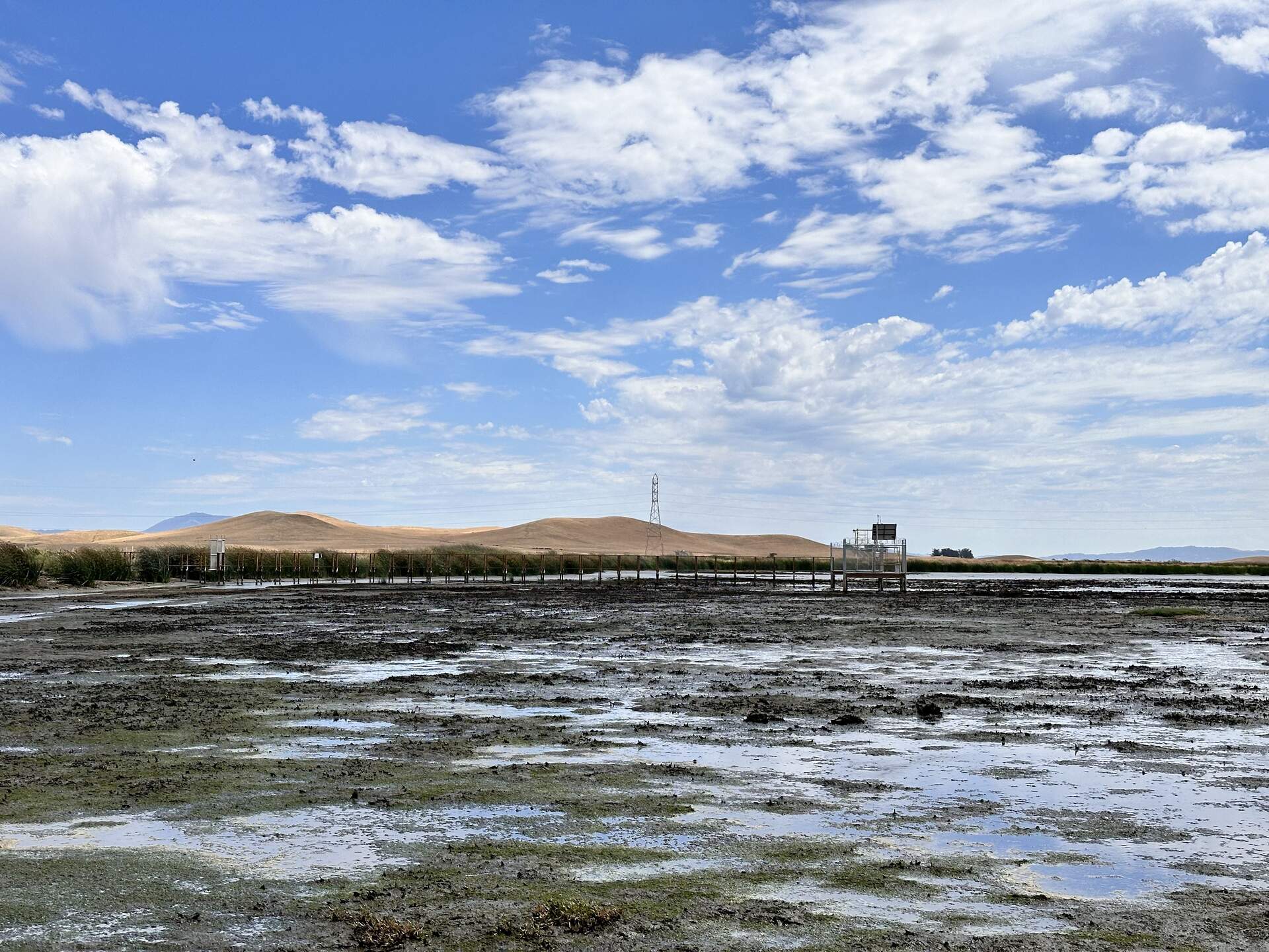
20240625HS_Boardwalk.jpg ( 2024-06-25 14:47:07 ) Full size: 1920x1440
The boardwalk and tower at low tide
20240625HS_GpsTrouble.jpg ( 2024-06-25 14:30:38 ) Full size: 1440x1920
Robert and Irene troubleshooting the GPS at HSM_9.
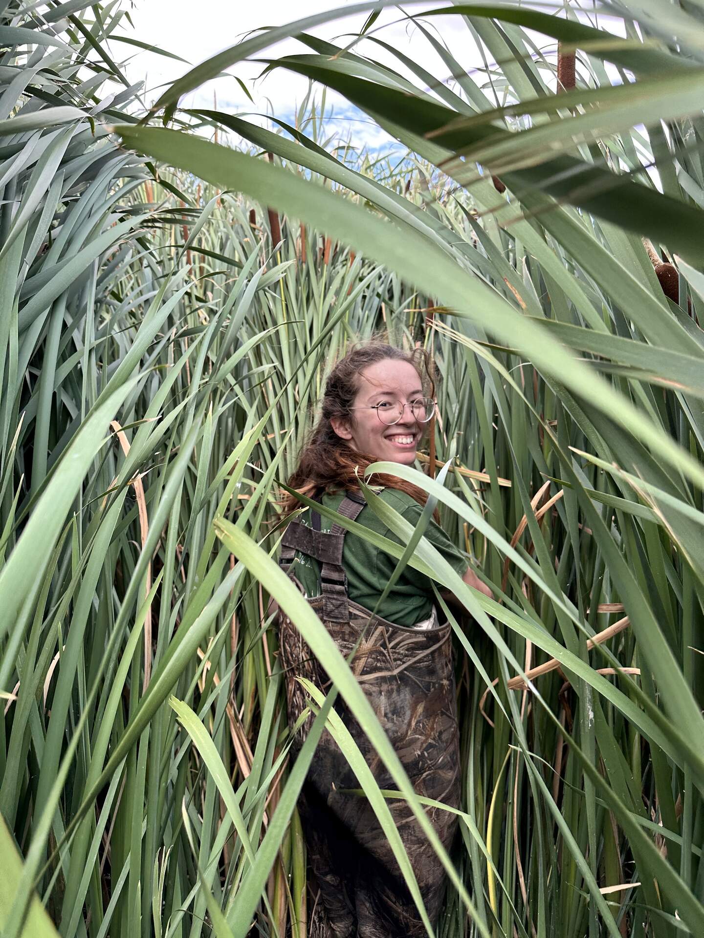
20240625HS_Irene.jpg ( 2024-06-25 14:49:54 ) Full size: 1440x1920
Irene among the cattails. We are trying to relocate HSM_8 to take its GPS point.
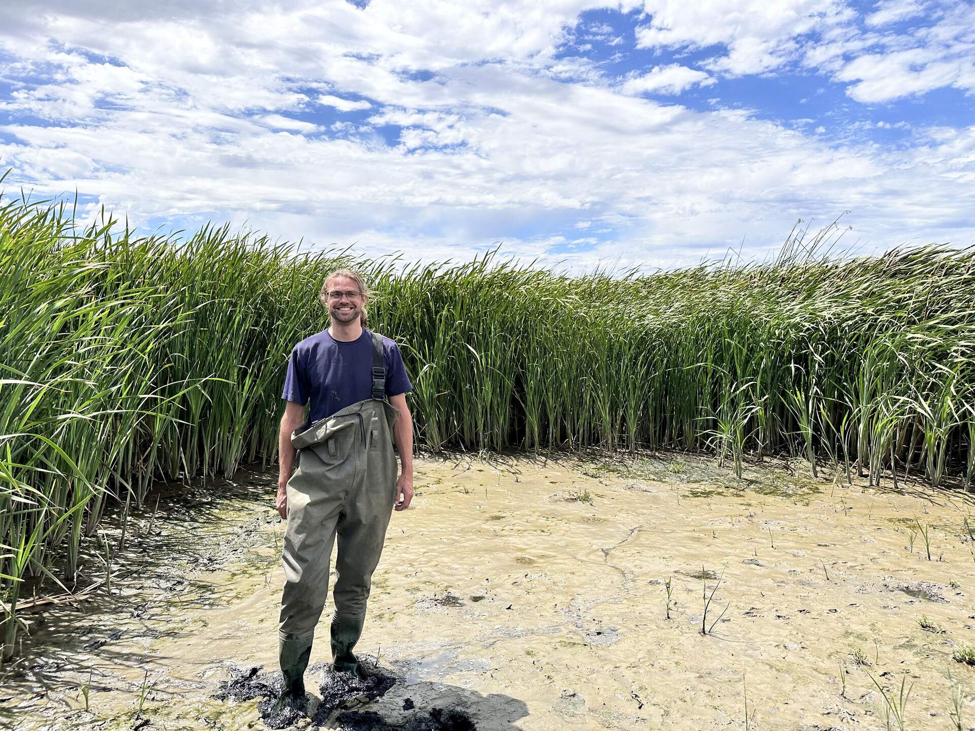
20240625HS_Robert.jpg ( 2024-06-25 14:45:37 ) Full size: 1920x1440
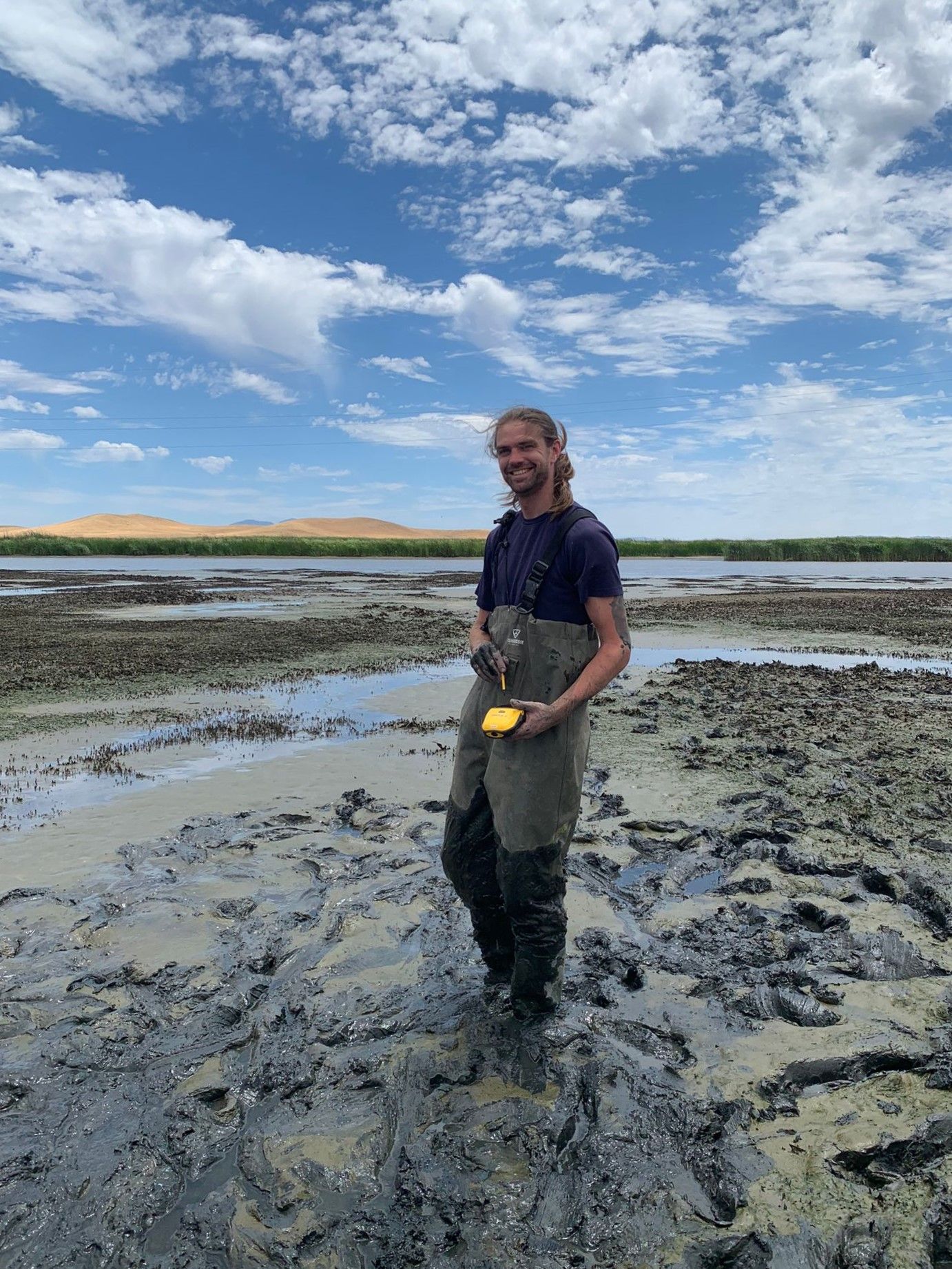
Robert modeling our newest waders which already have a broken clip
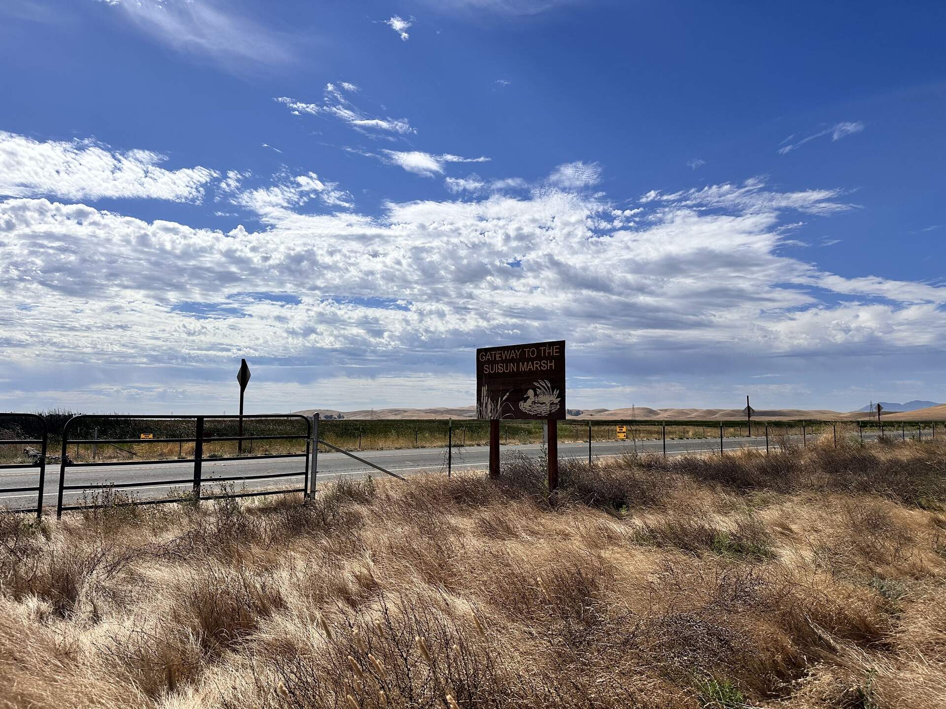
20240625HS_Sign.jpg ( 2024-06-25 09:59:17 ) Full size: 1920x1440
Welcome to Suisun Marsh!
20240625HS_Trekking.jpg ( 2024-06-25 14:47:47 ) Full size: 1920x1440
Robert and Irene trekking into the wetland. We are trying to relocate HSM_8 to take its GPS point. Either we did not find the exact point, or we could not find the tall, thin, green garden stake we used to mark the location. So the garden stake is still in there somewhere.
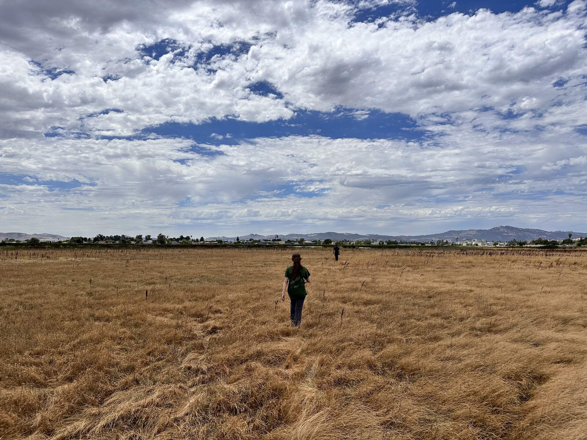
20240625HS_Upland.jpg ( 2024-06-25 14:28:56 ) Full size: 1920x1440
Irene and Robert walking into the upland section at the north end of Hill Slough marsh. We are trying to relocate HSM_9 to take its GPS point.
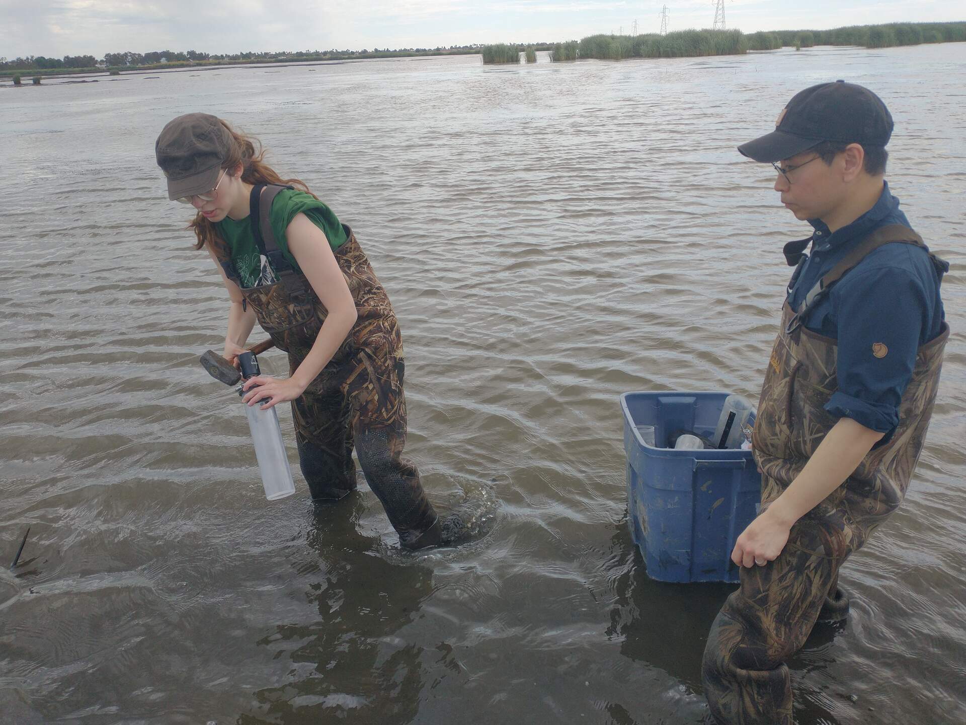
20240625HS_IreneKoong.jpg ( 2024-06-25 11:34:22 ) Full size: 1920x1440
Irene and Koong preparing to sample over standing water
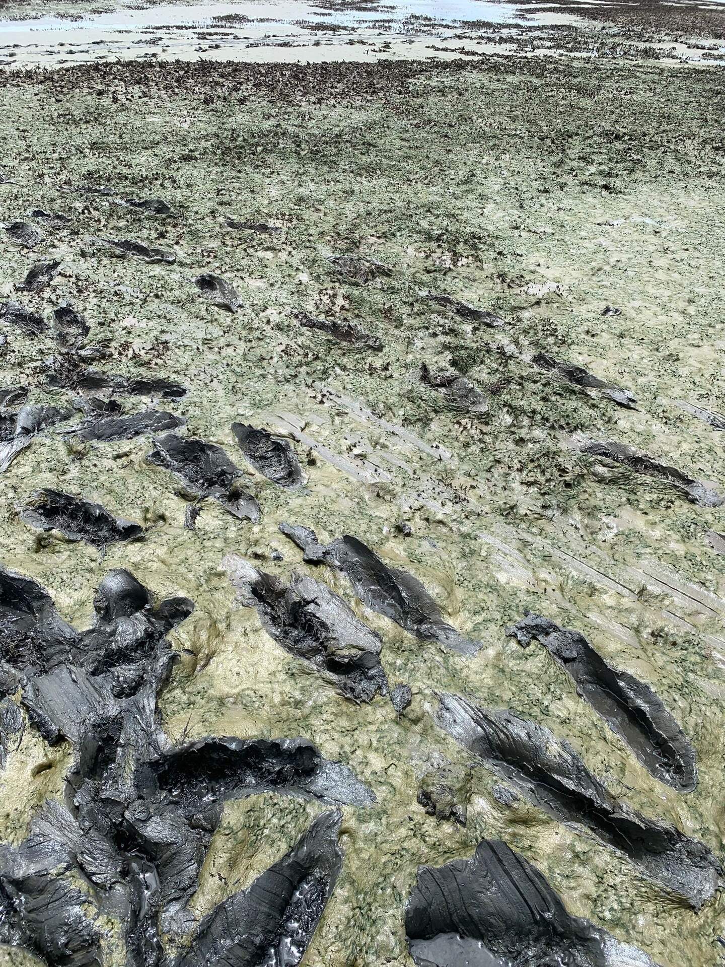
20240626HS_Hsm3Mud.jpg ( 2024-06-25 00:00:00 ) Full size: 1440x1920
Green mud near HSM_3
4 sets found
21 HS_met graphs found
4 HS_flux graphs found
1 HS_cam graphs found
Can't check HS_Processed
2 HS_Processed graphs found