
Field Notes
<--2020-09-01 08:45:00 | 2020-09-23 13:30:00-->Other sites visited today: Sherman Wetland | Mayberry | East End | West Pond | Bouldin Alfalfa
Phenocam link: Searching...
Bouldin Corn: 2020-09-10 14:25:00 (DOY 254)
Author: Joe Verfaillie
Others: Daphne
Summary: Harvest all around but not us, sonic heading is 19deg true, Purple Air card still not reading, reinstalled third FD chamber
| Bouldin Corn 2020-09-10 Daphne and I arrived at 14:25. It was warm and overcast. I didn’t smell smoke but nearby AQI stations were reporting 100-130. Fields all around us (north of the highway, to the east, southeast and south) have been harvested but not ours yet. They were actively harvesting fields to the east. We cleaned instruments and collected the data. The 7500 read: 399ppm CO2, 815mmol/m3 H2O, 23.1C, 100.9kPa, 95SS – 101 after cleaning The 7700 read: 2.08ppm CH4, 40RSSI – 87 after cleaning. The radiometers had ash on them. We topped off the wash reservoir. I measured the sonic heading with my phone at 19deg true. Holding my phone against the “north†pointing spar seemed like a very accurate way to measure the heading. There were no files on the Purple Air card. It has worked recently in the lab but I think the insertion of the card is finicky. I tried a couple times and left it with a blue LED blinking. I might try to install the other Purple Air that has been running okay in the lab. I installed the third FD chamber sn FD20180047. (Note by Daphne 2021-08-11: I'm pretty sure this chamber was installed under the tower since we were waiting for our field to be harvested at this time). It started up fine. The ground was moist. We need to think about adding tall collars and moving the junction box off the ground before they flood for winter. We left at 14:45 |
4 photos found

bouldincorn_09Sept_19vs20.jpg ( 2020-09-09 10:18:30 ) Full size: 1920x960
Contact sheets comparing September 9th photos from 2019 vs 2020

bouldincorn_2020_09_09_074506.jpg ( 2020-09-09 07:49:22 ) Full size: 1296x960
Orange skies from wildfire smoke

bouldincorn_2020_09_09_131505.jpg ( 2020-09-09 13:19:20 ) Full size: 1296x960
Orange skies from wildfire smoke
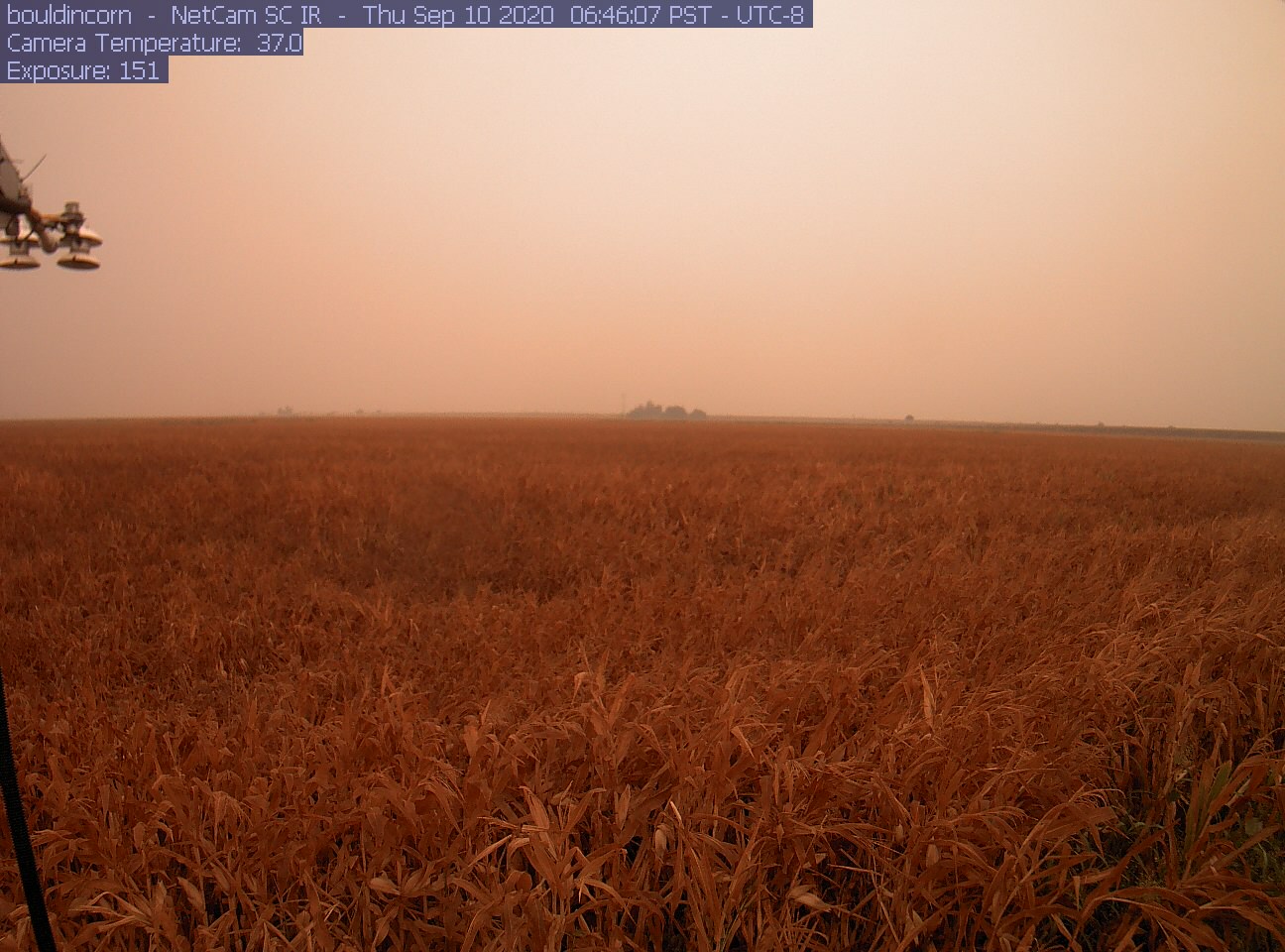
bouldincorn_2020_09_10_064505.jpg ( 2020-09-10 06:49:22 ) Full size: 1296x960
Extremely hazy skies from wildfire smoke
6 sets found
17 BC_met graphs found
5 BC_flux graphs found
Can't check TATWBABCSB_cam
Can't check MBSWEEWPBCBA
No data found for BC_pa.
1 BC_arable graphs found