
Field Notes
<--2017-03-08 13:30:00 | 2017-03-23 13:40:00-->Other sites visited today: Bouldin Alfalfa | East End | Mayberry | Twitchell Alfalfa | Twitchell Rice | West Pond
Phenocam link: Searching...
Sherman Wetland: 2017-03-15 09:15:00 (DOY 74)
Author: Daphne Szutu
Others: Elke Eichelmann, Kyle Hemes
Summary: Regular data collection/cleaning, cleaned precip funnel
| 2017-03-15 Sherman Wetland We arrived at 9:15. It was cool, mostly overcast, windy. There were some emerging vegetation which was not tule or cattail (see photos below). The rain gauge mesh was on the boardwalk and the funnel was clogged. Kyle cleaned the funnel and placed the mesh back in the funnel. Could we make a crown-of-spikes for the precip funnel to prevent birds from landing on it? The top 2 TCs on the right-most rod are still out of water. The top 3 TCs on center rod still out of water but 3rd from top just above water surface. The water at the base of tower ~23 cm. We refilled the wash reservoir; it was 4/5 full. We cleaned the radiation and EC sensors. We collected met and USB GHG data and swapped the camera card. We also put a label with pressure coefficients in the 7550 box. LI7500 readings: CO2 421.98 umol/mol H2O 622.0 mmol/m3 T 14.8 Celsius P 102.4 kPa SS 96.4 -> 97.4 after cleaning LI7700 readings: CH4: 2.03 RSSI: 34.9 -> 78.0 after cleaning We left at 9:40. |
3 photos found
20170315SW_unknownplant.jpg ( 2017-03-15 00:00:00 ) Full size: 1920x1080
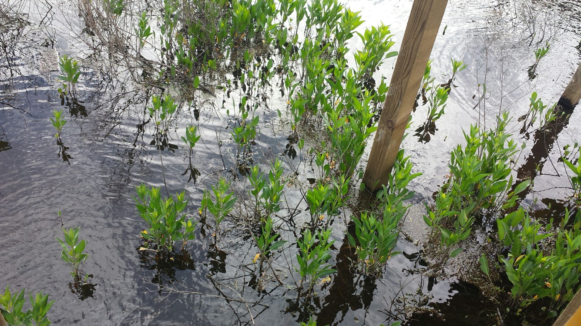
Unknown plant emerging from Sherman Wetland. Looks like pepperweed but we thought that pepperweed couldn't grow in flooded conditions.

20170315SW_waterlevel.jpg ( 2017-03-15 00:00:00 ) Full size: 1920x1080
Emerging vegetation at Sherman Wetland.
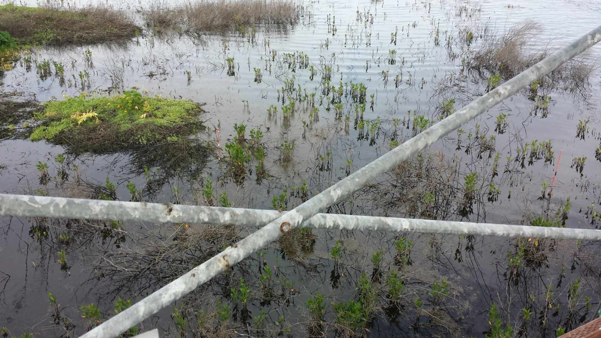
20170315SW_plants.jpg ( 2017-03-15 00:00:00 ) Full size: 1920x1080
Emerging vegetation at Sherman Wetland.
7 sets found
Can't check MBWPEESWGT_mixed
Can't check MBEEWPSWEPGT_cam
15 SW_met graphs found
4 SW_flux graphs found
Can't check MBSWEEWPBCBA
Can't check SW_Temp
14 SW_Temp graphs found
No data found for SW_arable.