Field Notes
<--2009-05-13 14:00:00 | 2009-05-21 13:30:00-->Other sites visited today: Sherman Island
Phenocam link: Searching...
Twitchell Rice: 2009-05-20 09:00:00 (DOY 140)
Author: Joe Verfaillie
Others:
Summary: herbicide and fertilizer coming weekend, radiometer boom 180 degrees, ground sensor installed in field, new CR1000 program, Vaisala pressure and tipping bucket added, tried to add water pressure, changed 23x program.
| Twitchell
05/20/2009 Arrived about 9am. Clear, sunny, light west breeze. Rice about 10cm tall, most of the bare patches have filled in. Jim says scheduled to spray herbicide and Friday, fertilizer (300lb/acre) as soon as possible, after fertilizer will start to flood field. Wind had pushed radiometer boom 180 degrees again. Returned vertical post to original position (clockwise rotation of about 360 degrees), repositioned boom and leveled sensors. Drilled a hole and put a bolt in the vertical post so it should not rotate again. Computer was running. Verizon was having connection problems, changed its connection parameters to an always on setting. Collected data from data loggers. Returned larger LCD monitor and removed small one. Screen now seems fine. Repositioned ground sensors into the field. One heat flux plate, soil moisture and soil temp profile to the south west. One heat flux plate and soil temp profile to the west at edge of field under the boom. One heat flux plate west-north-west. One heat flux plate, soil moisture and soil temp array to the north west. Updated CR1000 program with data table names changed to include “TW” tag to indicate Twitchell data. Returned to Sherman about noontime to pickup Oliver. Back at Twitchell, Oliver made spectral measurements along 100m transect west into the field. Added Vaisala pressure sensor in data logger box and tipping rain bucket on stake to the south east. Also made hole and inserted pipe for water table near ground sensors to south west. Hole for water table went down as far as I could with post hole digger. Hole is 1067mm deep. Pipe is 1219mm long extending 152mm above surface. Surface soil is light colored and fine grained, halfway down the soil is darker but similar texture and a bottom the soil was dark and kind of fibrous. Initially no water at bottom, slightly damp a couple of hours later. I tried to install the new water pressure sensor, but had communication problems. I removed it and returned it to the lab for testing. I changed the 23x program for new sensors including water pressure. Copied all data and swapped card on CR1000. |
11 photos found
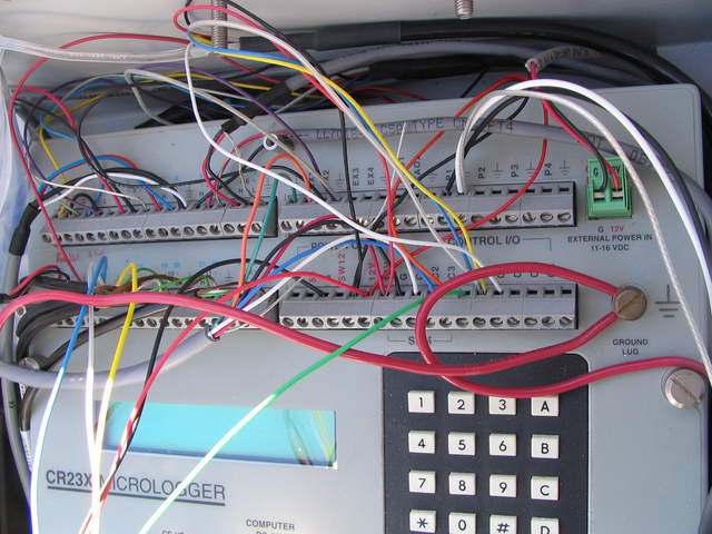
20090520TW_23xWires.jpg ( 2009-05-20 13:35:17 ) Full size: 2048x1536
23x data logger wiring at the rice site
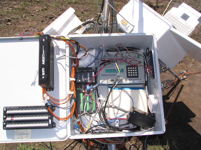
20090520TW_DataLoggerBox.jpg ( 2009-05-20 13:34:49 ) Full size: 2048x1536
Wiring inside the data logger box at the rice site
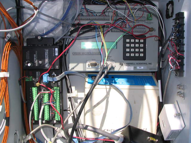
20090520TW_DataLoggers.jpg ( 2009-05-20 13:34:58 ) Full size: 2048x1536
Data logger and wiring inside box at the rice field
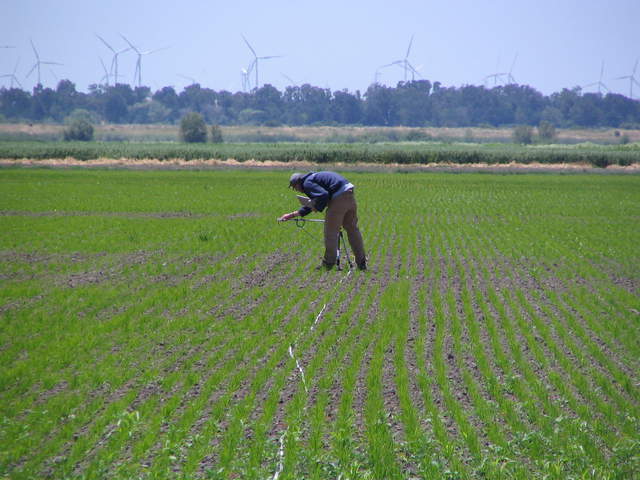
20090520TW_Oliver.jpg ( 2009-05-20 13:36:00 ) Full size: 2048x1536
Oliver doing spectra measurements in the rice field
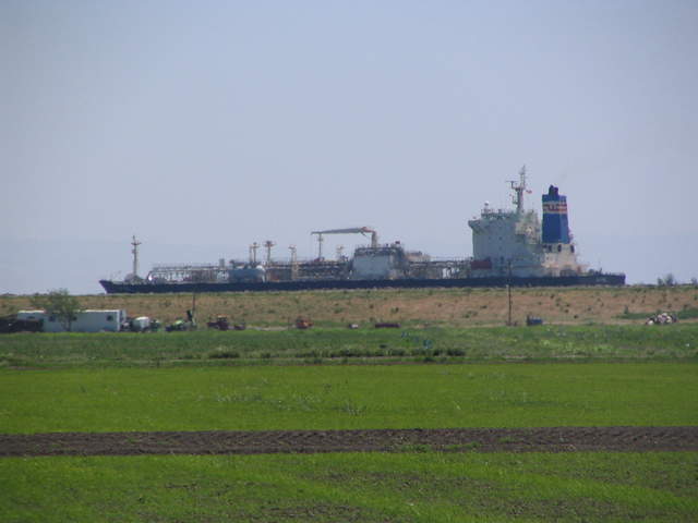
20090520TW_Ship1.jpg ( 2009-05-20 14:04:56 ) Full size: 2048x1536
Ship on river above rice paddies
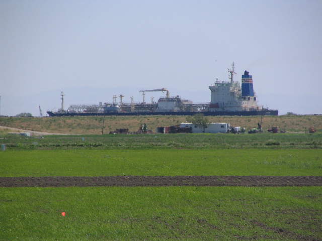
20090520TW_Ship2.jpg ( 2009-05-20 14:05:16 ) Full size: 2048x1536
Ship on river above rice paddies
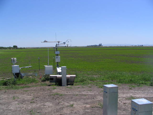
20090520TW_ShipFranksTower.jpg ( 2009-05-20 14:03:22 ) Full size: 2048x1536
Ship above the rice field and USGS tower
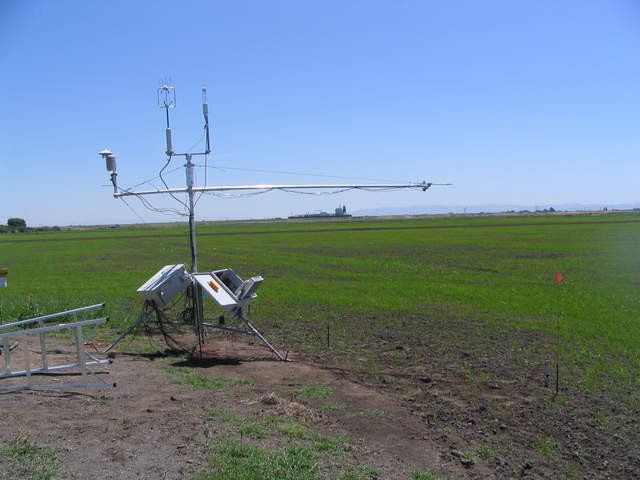
20090520TW_ShipTower1.jpg ( 2009-05-20 14:03:37 ) Full size: 2048x1536
Eddy tower at edge of newly planted rice field
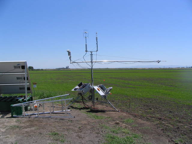
20090520TW_ShipTower2.jpg ( 2009-05-20 14:05:06 ) Full size: 2048x1536
Eddy tower at edge of newly planted rice field
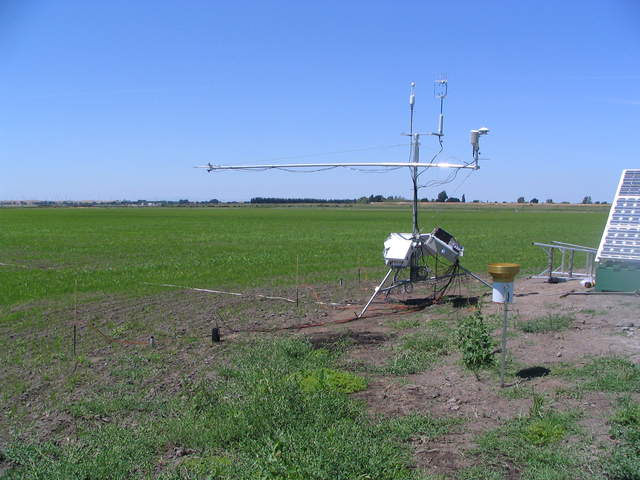
20090520TW_TowerGroundSensors.jpg ( 2009-05-20 13:36:33 ) Full size: 2048x1536
Ground sensors installed in the rice field before flooding
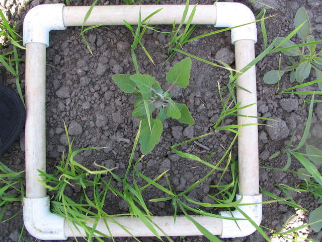
20090521TW_LAIHarvest.jpg ( 2009-05-21 14:11:24 ) Full size: 2048x1536
Example of clip plot square
6 sets found
12 TW_met graphs found
No data found for TW_flux.
Can't check TWSI_mixed
Can't check SIMBTWEE_met
1 TW_cam graphs found
Can't check TATWBABCSB_cam

