
Field Notes
<--2014-01-23 11:45:00 | 2014-02-05 12:15:00-->Other sites visited today: Sherman Island | Tonzi | Vaira
Phenocam link: Searching...
Twitchell Rice: 2014-01-29 12:00:00 (DOY 29)
Author: Joe Verfaillie
Others: Patty
Summary: Field water lower, ditch water overflowing, inlet running into new wetland.
| Twitchell 2014-01-29 We drove by the field about noontime, on the way to Tonzi. The water in the field seemed lower and the small fields to the south were empty of water. The main drain along the road was overflowing. A week ago or so, Bryan or Jim said the idea was to pump the water out of the main drain to flood the new wetland. I saw one of the inlets along the road dumping waster into the new wetland, but another was not. |
1 photos found
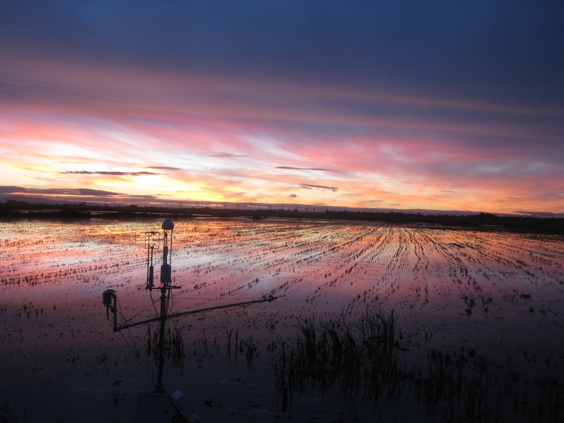
TW_autocam_20140128_1745.jpg ( 2014-01-28 17:45:02 ) Full size: 1920x1440
nice sunset
6 sets found
12 TW_met graphs found
5 TW_flux graphs found
Can't check TWSI_mixed
Can't check SIMBTWEE_met
1 TW_cam graphs found
Can't check TATWBABCSB_cam