
Field Notes
<--2010-06-22 08:30:00 | 2010-07-08 12:30:00-->Other sites visited today: Twitchell Rice
Phenocam link: Searching...
Sherman Island: 2010-07-01 08:30:00 (DOY 182)
Author: Joe Verfaillie
Others: Jaclyn Hatala
Summary: Levee tower stolen, fixed web cam file naming, fix SHF plate #3
| Sherman 7/1/2010 Arrived about 8:30am with Jaclyn. It was warm, sunny and clear with enough of a breeze to keep it from being hot. The pepper weed flowers are a patch works of yellow and white, though more yellow than white. I didn't notice the cows, must have been far to the west. All systems running and in good shape LGR readings: 7:36, 27.31C, 135.97Torr, 15.840usec, 10Hz, 1.860ppm, 2817.4hr I copied data and swapped the card. I cleaned the radiometers and check the tipping bucket. I fixed a bug in the web cam batch file that caused single digit hours not to be prefixed with a zero in the file names. I also fixed a loose wire on SHF plate #3 - should be okay now To do: Fix soil temp #2 @ 8cm Add box/pump temp and cut off relay - see AM25T #25 and CR10X #4 Seal with silicon box wire plug Reattached AM16/32 Reattach CR23X and seal soil co2 box Left for Twitchell about 9:30 Returned from Twitchell about 1pm. Checked on Levee tower and found that solar panels, batteries and data logger box had been stolen (see report). I decided to take down and remove the rest of the tower. Sonic head sn 000019, LI7500 head and box sn 0418, tubing cables, two tower sections, guy wires and blue battery box were removed. Left in the ground were two guy anchors and two rebar for the tower base. These I will remove next time out. |
3 photos found
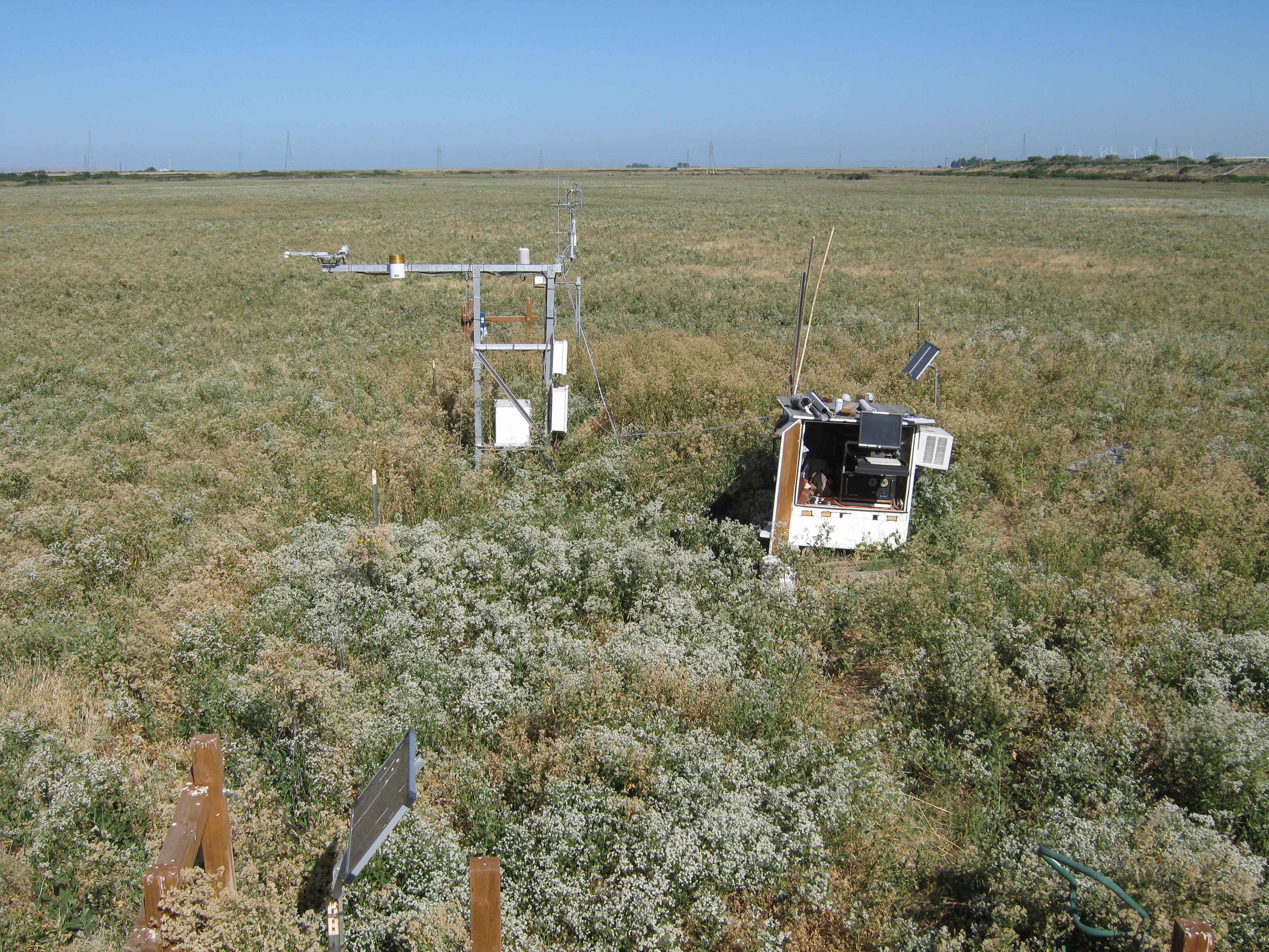
20100701SI_Site.jpg ( 2010-07-01 09:03:42 ) Full size: 3648x2736
Looking west at the tower.
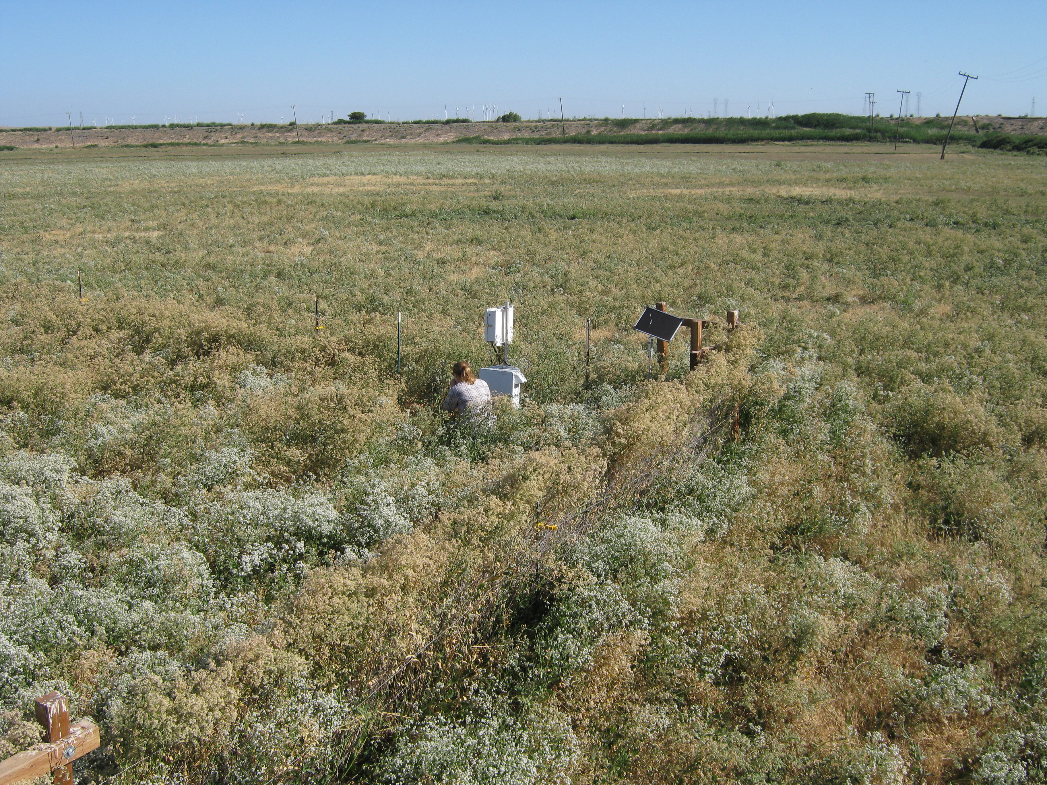
20100701SI_FieldNorth.jpg ( 2010-07-01 09:03:50 ) Full size: 3648x2736
Looking northwest at Jaclyn working on the soil CO2 sensors.
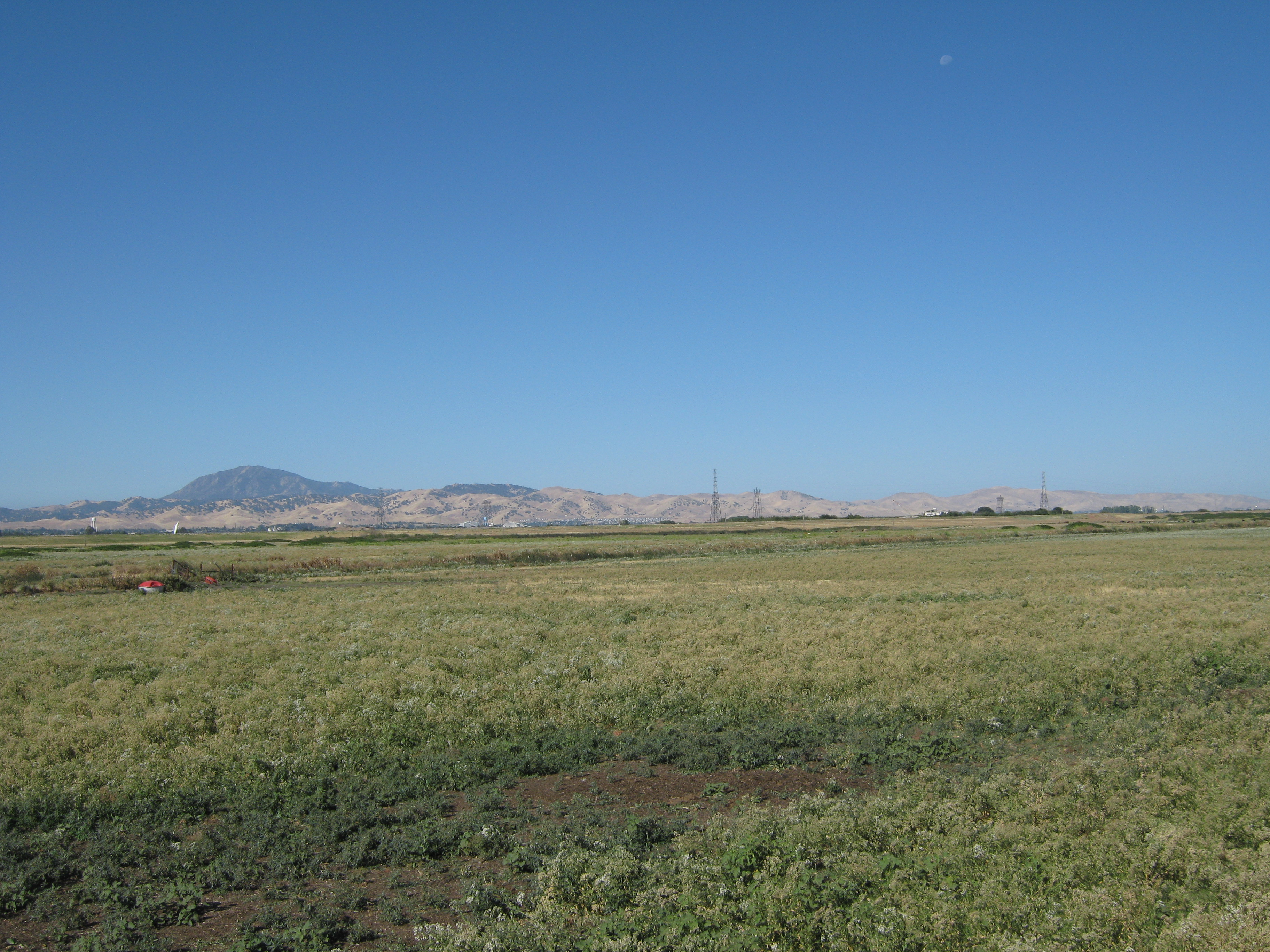
20100701SI_FieldSouth.jpg ( 2010-07-01 09:04:14 ) Full size: 3648x2736
The field south of the tower and Mt. Diablo.
7 sets found
1 SI_mp graphs found
11 SI_met graphs found
Can't check SI_mixed
2 SI_mixed graphs found
5 SI_flx graphs found
2 SI_soilco2 graphs found
Can't check TWSI_mixed
Can't check SIMBTWEE_met