Biomet Gallery
All Photos | Site Cam Gallery | Key words
Large Photos
Page: [1] 2
| ID | Name | Location | Date | Size | Camera | Thumb |
|---|---|---|---|---|---|---|
| 1609 | 20081003TW_Levee.jpg View from the top of the levee - San Joaquin River to the left |
Twitchell Rice | 2008-10-03 10:15:34 | 2048x1536 | Canon PowerShot S1 IS | 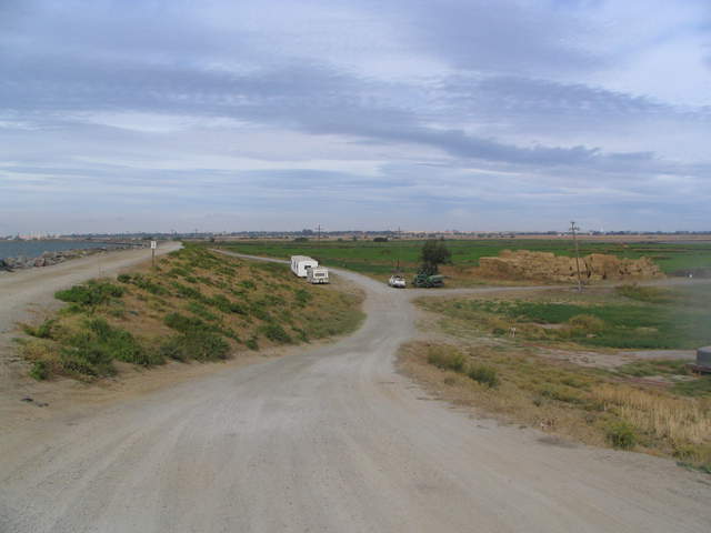 |
| 326 | 20100406SL_TowerViewWest.jpg |
Sherman Levee | 2010-04-06 14:32:41 | 2048x1536 | Canon PowerShot S1 IS | 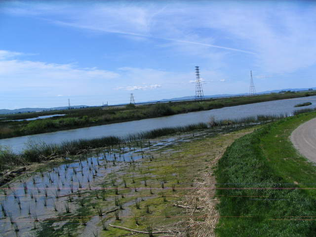 |
| 327 | 20100406SL_TowerViewSW.jpg |
Sherman Levee | 2010-04-06 14:32:56 | 2048x1536 | Canon PowerShot S1 IS | 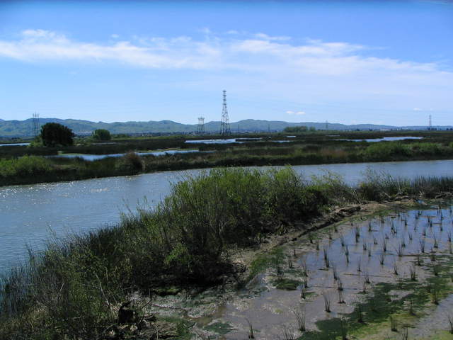 |
| 328 | 20100406SL_TowerViewSouth.jpg |
Sherman Levee | 2010-04-06 14:33:03 | 2048x1536 | Canon PowerShot S1 IS | 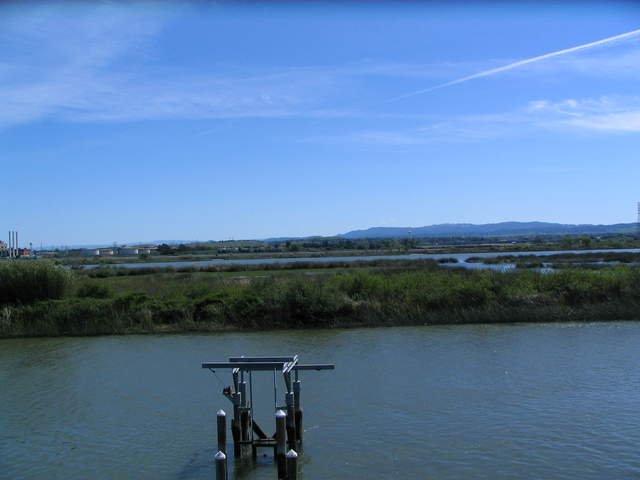 |
| 329 | 20100406SL_TowerViewSSW.jpg |
Sherman Levee | 2010-04-06 14:33:07 | 2048x1536 | Canon PowerShot S1 IS | 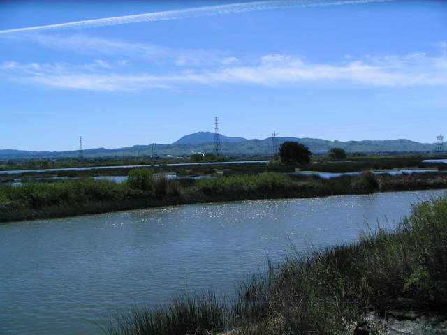 |
| 330 | 20100406SL_TowerViewWSW.jpg |
Sherman Levee | 2010-04-06 14:33:10 | 2048x1536 | Canon PowerShot S1 IS | 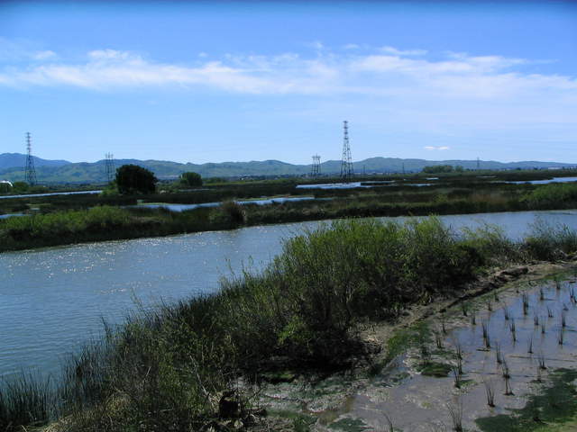 |
| 331 | 20100406SL_TowerViewNorth.jpg |
Sherman Levee | 2010-04-06 14:33:19 | 2048x1536 | Canon PowerShot S1 IS | 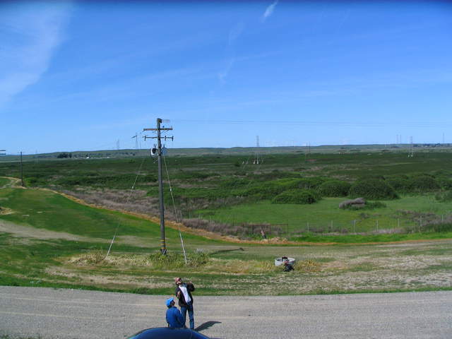 |
| 332 | 20100406SL_TowerViewEast.jpg |
Sherman Levee | 2010-04-06 14:33:23 | 2048x1536 | Canon PowerShot S1 IS | 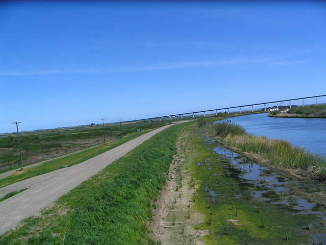 |
| 65 | 20100714SI_TowerLookingSouth.jpg View of Sherman pasture dominated by flowering pepper weed with Mt Diablo in background |
Sherman Island | 2010-07-14 10:10:20 | 3648x2736 | Canon PowerShot A480 | 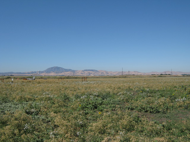 |
| 64 | 20100714SI_TowerLookingNorth.jpg View of Sherman pasture dominated by flowering pepper weed |
Sherman Island | 2010-07-14 10:17:38 | 3648x2736 | Canon PowerShot A480 | 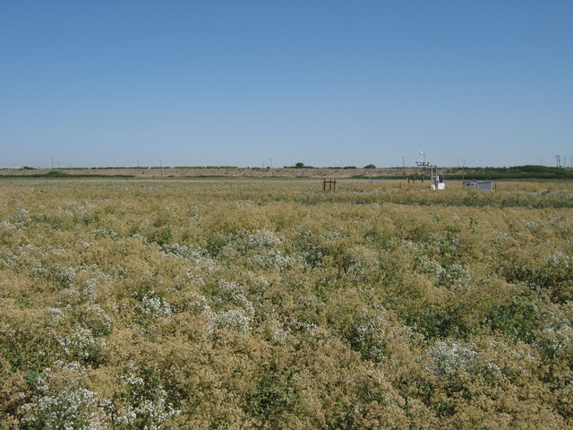 |
| 117 | 20100716VR_View.jpg caption |
Vaira | 2010-07-16 09:40:10 | 3648x2736 | Canon PowerShot A480 | 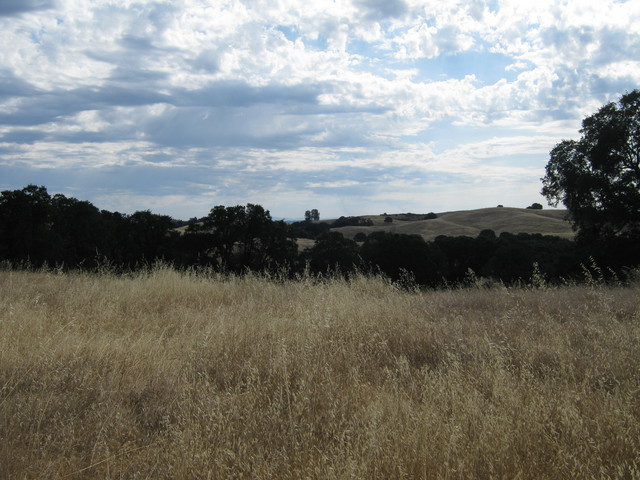 |
| 216 | 20100805TZ_TowerViewNE.jpg View from the top of the tower to the northeast. |
Tonzi | 2010-08-05 10:46:34 | 3648x2736 | Canon PowerShot A480 | 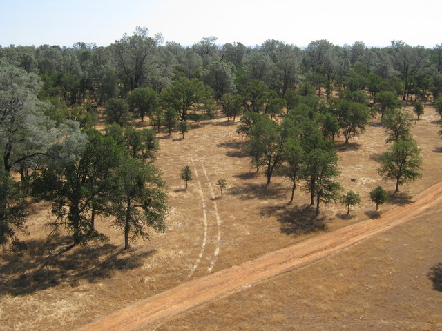 |
| 214 | 20100805TZ_TowerViewFloor.jpg View of floor measurements from top of tower. |
Tonzi | 2010-08-05 10:46:42 | 3648x2736 | Canon PowerShot A480 | 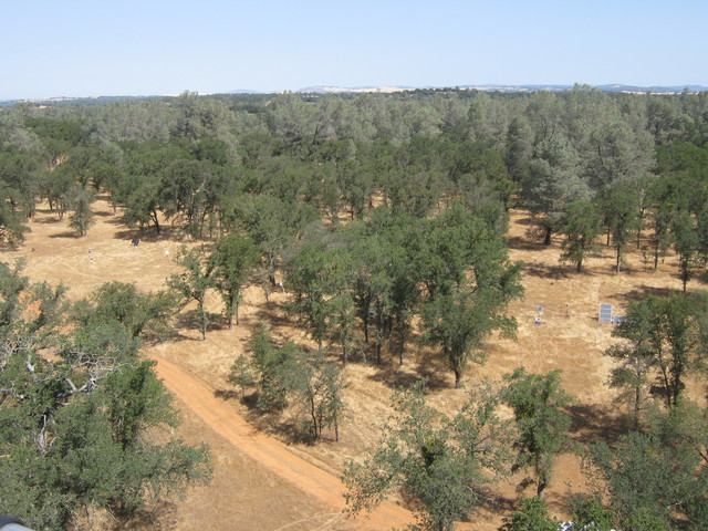 |
| 217 | 20100805TZ_TowerViewWest.jpg View to the west from the top of the tower. |
Tonzi | 2010-08-05 10:47:04 | 3648x2736 | Canon PowerShot A480 | 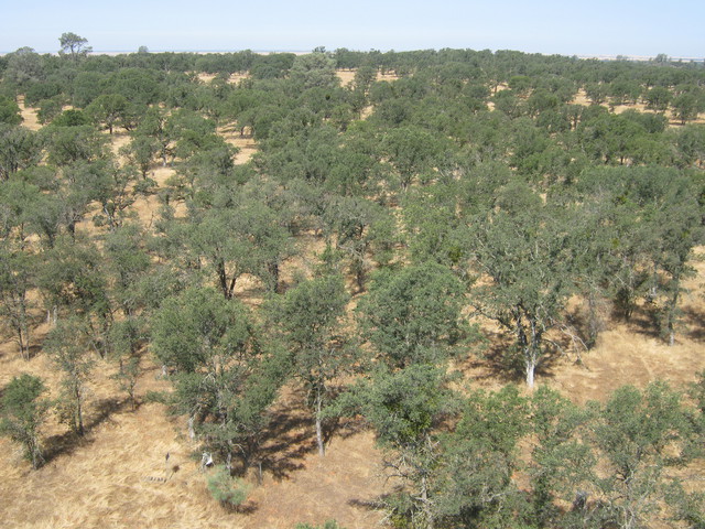 |
| 215 | 20100805TZ_TowerViewMtDiablo.jpg View from top of tower of Rancho Seco and Mt. Diablo. |
Tonzi | 2010-08-05 10:47:24 | 3648x2736 | Canon PowerShot A480 | 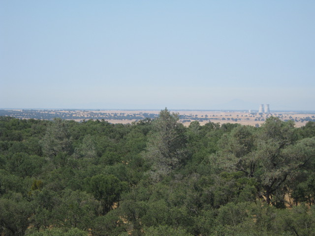 |
| 427 | VR_002.jpg View of the Vaira eddy tower |
Vaira | 2010-10-07 17:43:31 | 2592x1944 | Canon PowerShot SD400 | 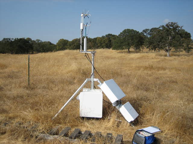 |
| 423 | TZ_069.jpg View of the Tonzi Tower |
Tonzi | 2010-10-07 20:16:05 | 1944x2592 | Canon PowerShot SD400 | 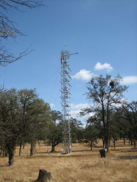 |
| 426 | TZ_077.jpg View of the Tonzi Tower |
Tonzi | 2010-10-07 21:21:44 | 1944x2592 | Canon PowerShot SD400 | 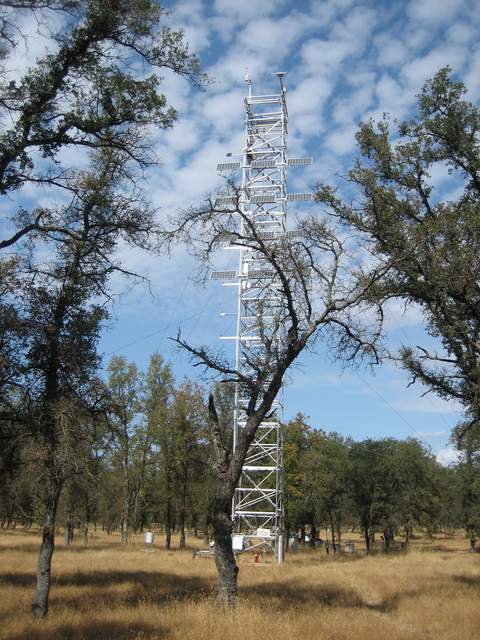 |
| 437 | 20101014MB_Site.jpg Long view of levee and Mayberry tower site |
Mayberry | 2010-10-14 13:00:01 | 3648x2736 | Canon PowerShot A480 | 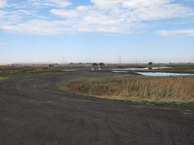 |
| 440 | 20101014MB_SiteZoom.jpg Zoomed view of Mayberry site from main levee |
Mayberry | 2010-10-14 13:00:12 | 3648x2736 | Canon PowerShot A480 | 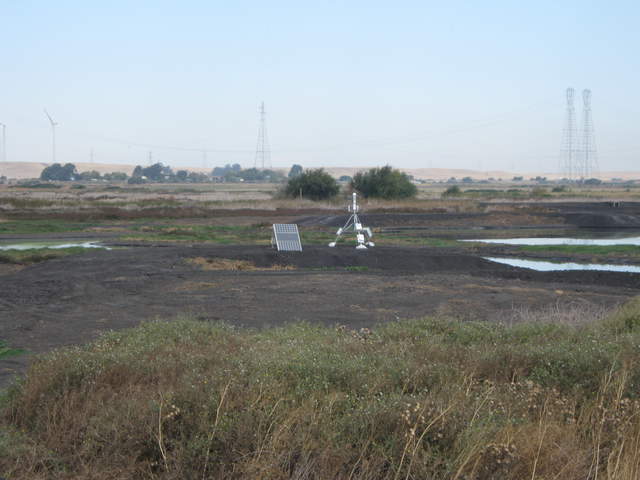 |
| 438 | 20101014MB_SiteFromLevee.jpg Super long view of Mayberry site from main levee |
Mayberry | 2010-10-14 13:02:27 | 3648x2736 | Canon PowerShot A480 | 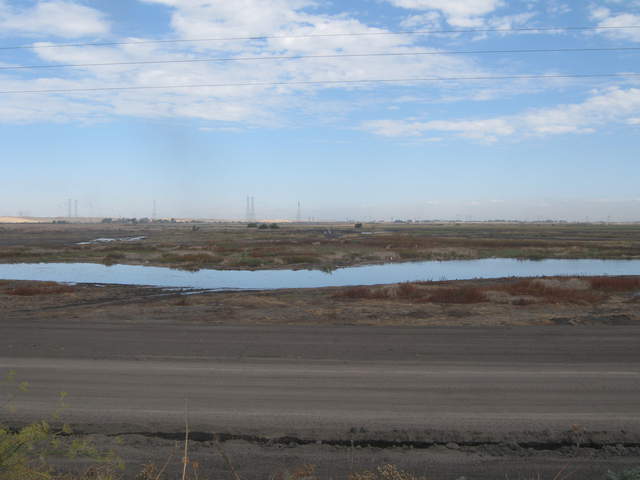 |
| 439 | 20101014MB_SiteFromLeveeZoom.jpg Zoomed view of Mayberry site from main levee |
Mayberry | 2010-10-14 13:02:37 | 3648x2736 | Canon PowerShot A480 | 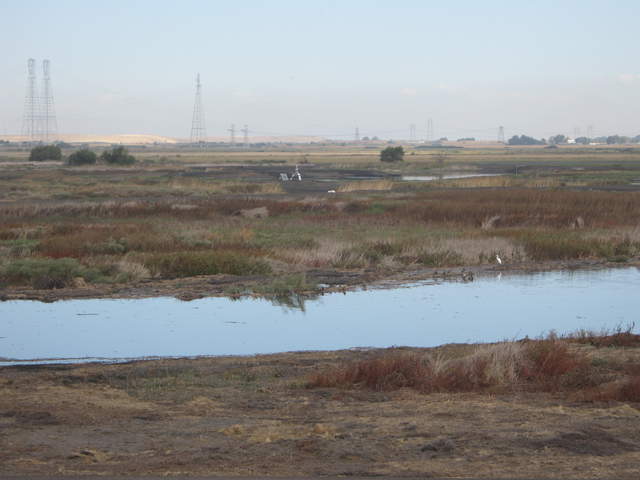 |
| 489 | 20101112TZ_WebcamView1.jpg |
Tonzi | 2010-11-12 10:27:55 | 3648x2736 | Canon PowerShot A480 | 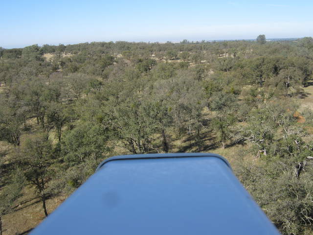 |
| 490 | 20101112TZ_WebcamView2.jpg |
Tonzi | 2010-11-12 10:28:36 | 3648x2736 | Canon PowerShot A480 | 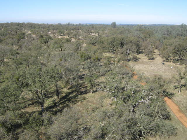 |
| 487 | 20101112TZ_ViewSecoMtDiablo.jpg |
Tonzi | 2010-11-12 10:31:56 | 3648x2736 | Canon PowerShot A480 | 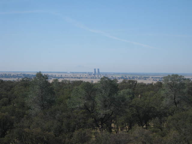 |
| 486 | 20101112TZ_ViewCrystalMountains.jpg |
Tonzi | 2010-11-12 10:32:07 | 3648x2736 | Canon PowerShot A480 | 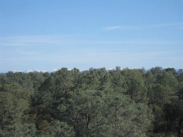 |
| 488 | 20101112TZ_ViewSouth.jpg |
Tonzi | 2010-11-12 10:32:14 | 3648x2736 | Canon PowerShot A480 | 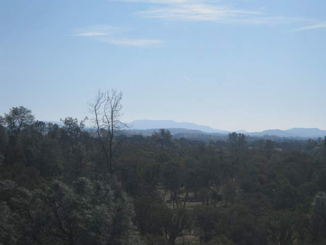 |
| 664 | 20110308TZ_ViewFromTower.jpg |
Tonzi | 2011-03-08 11:54:42 | 2560x1920 | DMC-TZ1 | 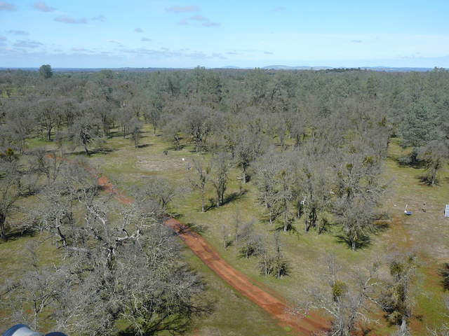 |
| 975 | 20110415TZ_ViewOfFloor.jpg |
Tonzi | 2011-04-15 11:49:25 | 2560x1920 | DMC-TZ1 | 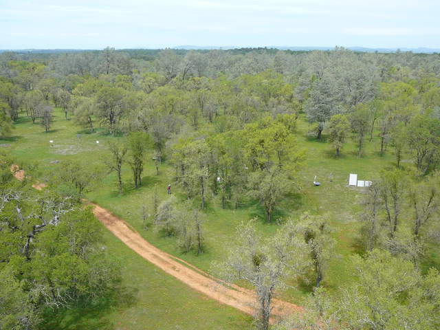 |
| 976 | 20110415TZ_ViewToRanchoSeco.jpg |
Tonzi | 2011-04-15 11:50:12 | 2560x1920 | DMC-TZ1 | 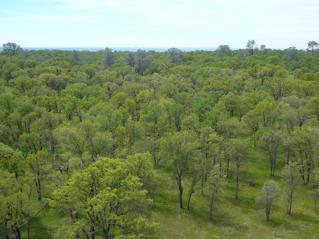 |
| 1237 | MB_autocam_20110422_1215.jpg Joe on site - camera view moved |
Mayberry | 2011-04-22 12:15:02 | 3648x2736 | Canon PowerShot A480 | 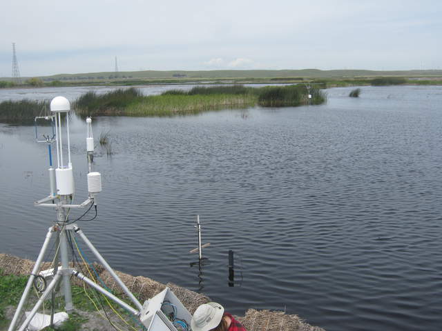 |
| 1411 | 20110825MB_NewScaffold.jpg View of new scaffolding near Tule Tower |
Mayberry | 2011-08-25 11:46:10 | 2048x1536 | DMC-FS15 | 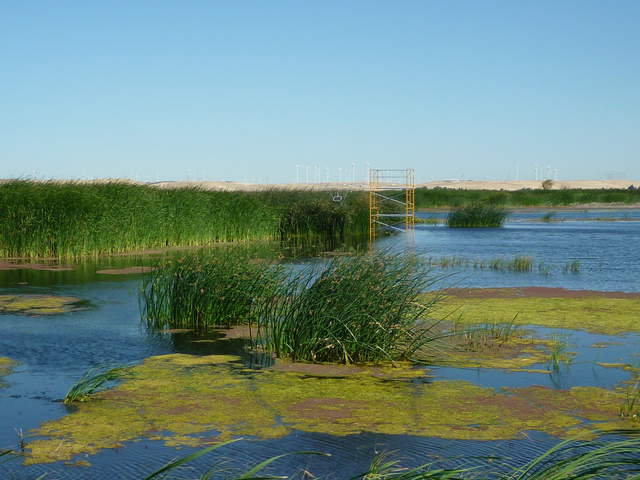 |
| 1778 | 20110919TZ_ViewToRanchoSeco.jpg |
Tonzi | 2011-09-16 12:57:05 | 3648x2736 | Canon PowerShot A480 | 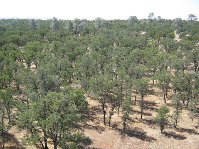 |
| 1788 | 20110923TZ_ViewFromTowerEMI.jpg View of floor sites from tower top |
Tonzi | 2011-09-23 12:17:23 | 3648x2736 | Canon PowerShot A480 | 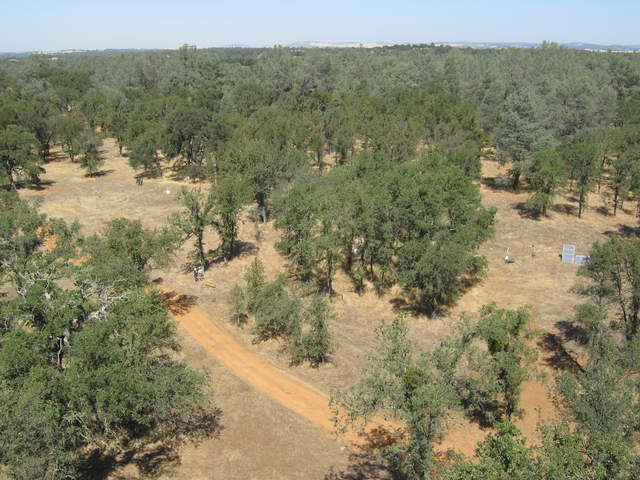 |
| 1785 | 20110923TZ_Canopy.jpg View at canopy height from tower |
Tonzi | 2011-09-23 12:20:24 | 3648x2736 | Canon PowerShot A480 | 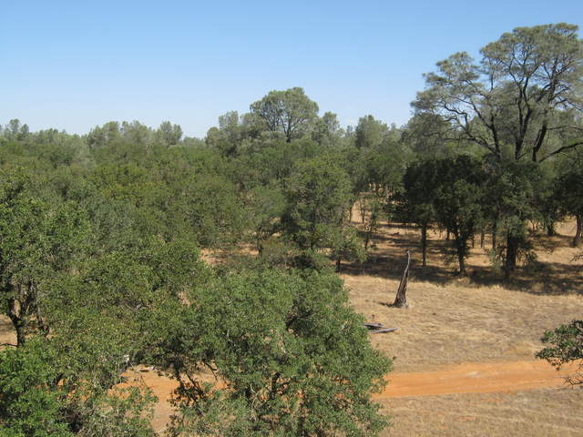 |
| 1842 | 20111102TW_SiteTower.jpg View of tower and chopped field |
Twitchell Rice | 2011-11-02 09:21:01 | 2048x1536 | COOLPIX S9100 | 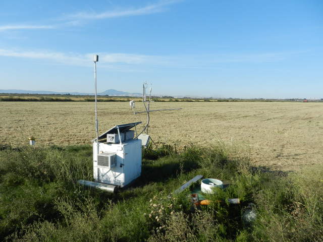 |
| 1843 | 20111102TW_Tower.jpg View of tower and newly installed ground sensors. |
Twitchell Rice | 2011-11-02 09:21:28 | 2048x1536 | COOLPIX S9100 | 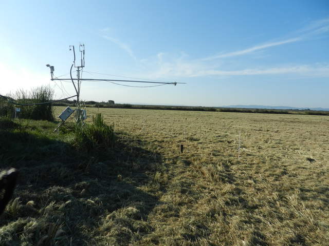 |
| 1844 | 20111102TZ_FromTower.jpg View of floor from tower. |
Tonzi | 2011-11-02 11:27:19 | 2048x1536 | COOLPIX S9100 | 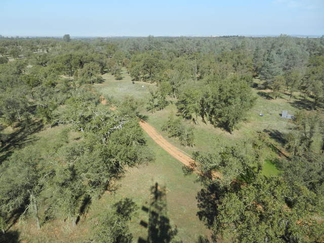 |
| 2108 | 20111214MB_Site.jpg View of the wetland from the levee north of Mayberry Slough |
Mayberry | 2011-12-14 14:30:59 | 4000x3000 | COOLPIX S9100 | 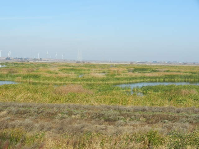 |
| 2106 | 20111214MB_MainTowerZoom.jpg View of the main tower from the levee north of Mayberry Slough |
Mayberry | 2011-12-14 14:31:14 | 4000x3000 | COOLPIX S9100 | 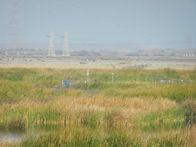 |
| 2111 | 20111214MB_TuleTowerZoom.jpg View of the Tule Tower from the levee north of Mayberry Slough |
Mayberry | 2011-12-14 14:31:22 | 4000x3000 | COOLPIX S9100 | 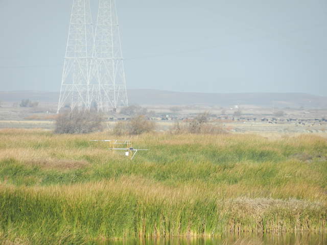 |
| 2191 | 20120106TZ_SiteFromTower.jpg View of site from tower |
Tonzi | 2012-01-06 12:26:54 | 4000x3000 | COOLPIX S9100 | 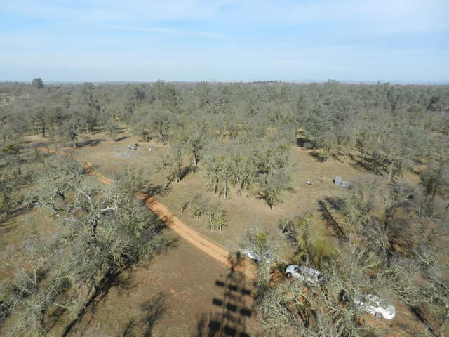 |
| 2238 | 20120125TZ_SiteFRomTower.jpg View from tower |
Tonzi | 2012-01-25 13:11:17 | 4000x3000 | COOLPIX S9100 | 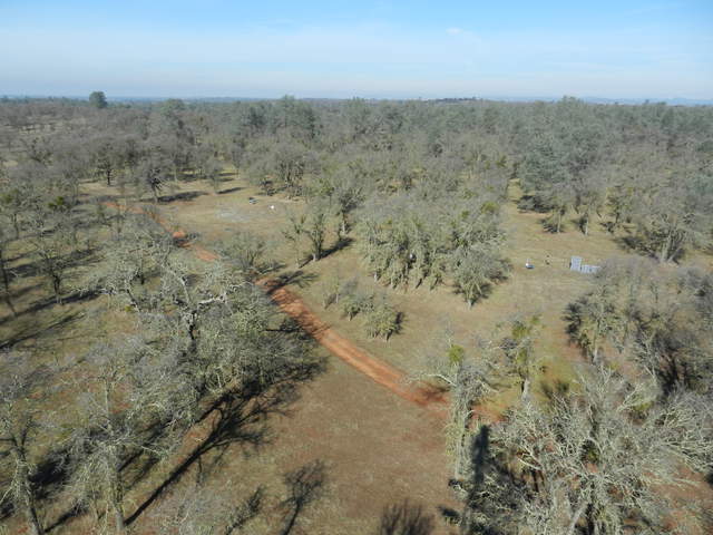 |
| 2491 | 20120423TZ_FloorSoilCO2View.jpg |
Tonzi | 2012-04-23 12:33:33 | 4000x3000 | Canon PowerShot SX200 IS | 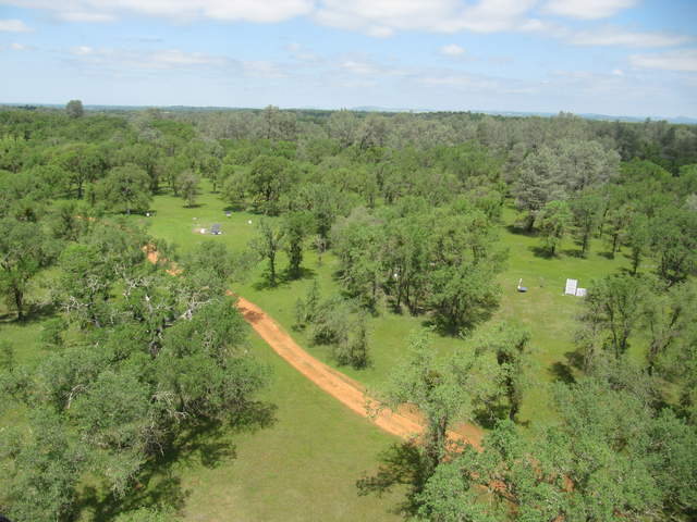 |
| 2741 | 20120629WP_PossibleAutocamView.jpg Possible view for autocam |
West Pond | 2012-06-29 14:35:55 | 4000x3000 | COOLPIX S9100 | 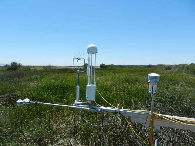 |
| 2740 | 20120629WP_Footprint.jpg View of tower footprint |
West Pond | 2012-06-29 14:36:06 | 4000x3000 | COOLPIX S9100 | 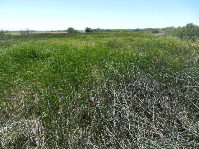 |
| 2821 | WP_autocam_20120705_1315.jpg Typical view |
West Pond | 2012-07-05 13:15:02 | 1920x1440 | Canon PowerShot A800 | 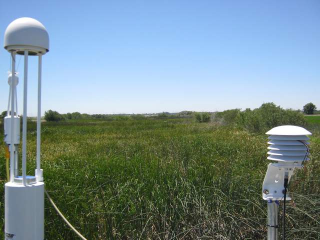 |
| 2933 | 201209191VR_Site.jpg View of field site from the road |
Vaira | 2012-09-19 08:54:00 | 1920x1440 | COOLPIX S9100 | 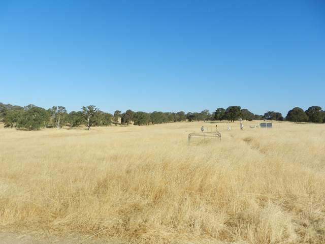 |
| 3196 | 20130116VR_Site.jpg View of the site |
Vaira | 2013-01-16 10:57:05 | 1920x1440 | COOLPIX S9100 | 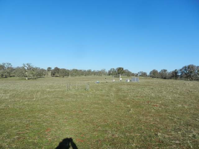 |
| 3436 | 20130509TW_Site.jpg View of site |
Twitchell Rice | 2013-05-09 08:40:58 | 1920x1440 | COOLPIX S9100 | 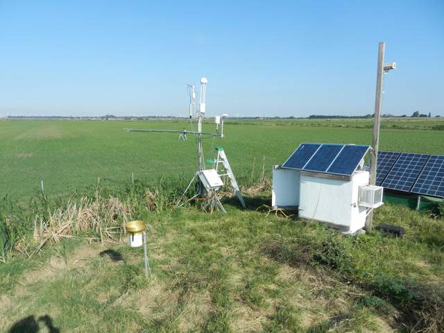 |

