Biomet Gallery
All Photos | Site Cam Gallery | Key words
Large Photos
Page: [1]
| ID | Name | Location | Date | Size | Camera | Thumb |
|---|---|---|---|---|---|---|
| 1541 | DSCN0813.JPG Bright dead grasses which increase surface albedo |
Vaira | 2007-08-31 17:38:41 | 2048x1536 | COOLPIX L5 | |
| 1575 | DSCN1819.JPG Radiometer tower and the surface. NDVI was 0.37 |
Vaira | 2007-12-21 12:21:25 | 1536x2048 | COOLPIX L5 | |
| 14 | 20090227TZ_ApogeeSerialNos.jpg Serial Numbers on new Apogee IR surface temperature sensors. Hand written one is wrong. |
Tonzi | 2009-02-27 14:39:38 | 2048x1536 | Canon PowerShot S1 IS |  |
| 13 | 20090227TZ_23xWiring.jpg Serial numbers an wiring of new Apogee IR surface temperature sensors. |
Tonzi | 2009-02-27 14:40:12 | 2048x1536 | Canon PowerShot S1 IS |  |
| 5296 | 20200803BC_Irrigation2_Tyler.jpg Spud ditch, surface irrigation |
Bouldin Corn | 2020-08-03 00:00:00 | 1440x1920 | iPhone 8 | 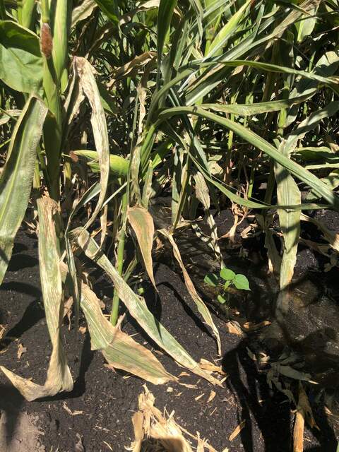 |
| 5301 | 20200805BC_FloodedBox.jpg Box on the ground was flooded during this summer's irrigation that had water about 10cm above the soil surface. Half of the screw terminal was underwater, but luckily the eosFD twist connections were dry. Surprisingly, the eosFD chambers seemed fine and were recording data the whole time. |
Bouldin Corn | 2020-08-05 14:25:49 | 1440x1920 | iPhone SE (1st generation) | 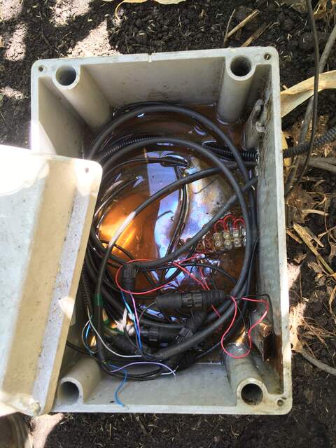 |
| 5300 | 20200805BC_FloodedFdChamber.jpg Corn field was heavily irrigated, water came up to about 10cm above the soil surface as observed from the high water line on the FD chamber |
Bouldin Corn | 2020-08-05 15:30:56 | 1440x1920 | iPhone SE (1st generation) | 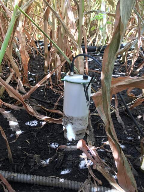 |
| 5979 | gilberttract_2022_02_03_084405.jpg Red wing black bird on radiometer boom. Cattail fluff covering water surface |
Gilbert Tract | 2022-02-03 08:45:32 | 1296x960 | StarDot NetCam SC | 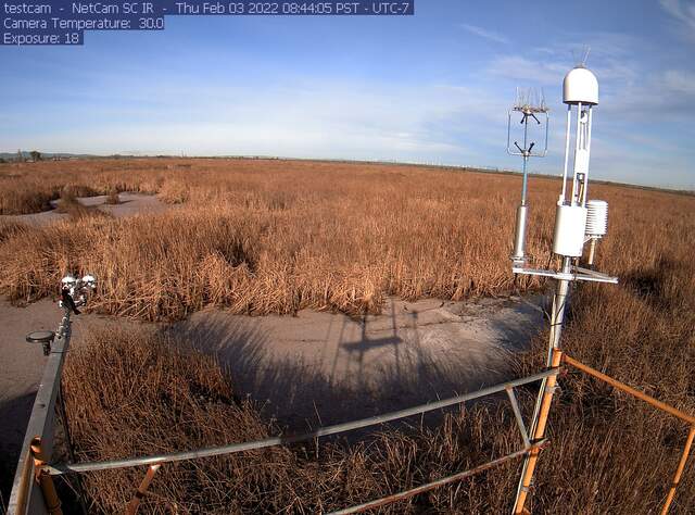 |
| 6083 | 20220824GT_WaterSensors.jpg Three water sensors (eosGP, CTD, Campbell conductivity) attached to a fence post in a slightly deeper part of the wetland. The slight disturbance in the azolla on the surface indicates where I waded around to find the deepest point of this pond. |
Gilbert Tract | 2022-08-24 12:25:55 | 1440x1920 | iPhone SE (1st generation) | 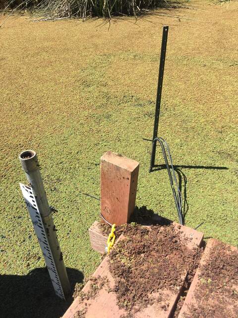 |
| 6284 | 20230414VR_JoeTakingSoilCore.jpg Joe taking surface soil core at pit 2 from AMP soil samples |
Vaira | 2023-04-14 00:00:00 | 960x1280 | unknown | 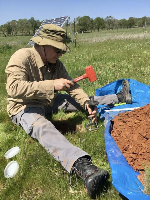 |

