Biomet Gallery
All Photos | Site Cam Gallery | Key words
Large Photos
Page: 1
2
3
4
5
6
7
8
9
10
11
12
13
14
15
16
17
18
[19] 20
21
22
23
24
25
26
27
28
29
30
31
32
33
34
35
36
37
38
39
40
41
42
43
44
45
46
47
48
49
50
51
52
53
54
55
56
57
58
59
60
61
62
63
64
65
66
67
68
69
70
71
72
73
74
75
76
77
78
79
80
81
82
83
84
85
86
87
88
89
90
91
92
93
94
95
96
97
98
99
100
101
102
103
104
105
106
107
108
109
110
111
112
113
114
115
116
117
118
119
120
121
122
123
124
125
126
127
128
129
130
131
132
133
134
135
136
| ID | Name | Location | Date | Size | Camera | Thumb |
|---|---|---|---|---|---|---|
| 403 | TZ_100_5366.JPG View of the oak savanna with dead grass and cow waterer |
Tonzi | 2010-10-07 14:27:19 | 1496x1122 | KODAK DX7630 ZOOM DIGITAL CAMERA | |
| 404 | TZ_100_5367.JPG View of the oak savanna with dead grass and Tonzi pond |
Tonzi | 2010-10-07 14:27:27 | 1496x1122 | KODAK DX7630 ZOOM DIGITAL CAMERA | |
| 405 | TZ_100_5368.JPG View of the oak savanna with dead grass and Tonzi pond |
Tonzi | 2010-10-07 14:27:35 | 1496x1122 | KODAK DX7630 ZOOM DIGITAL CAMERA | |
| 427 | VR_002.jpg View of the Vaira eddy tower |
Vaira | 2010-10-07 17:43:31 | 2592x1944 | Canon PowerShot SD400 | 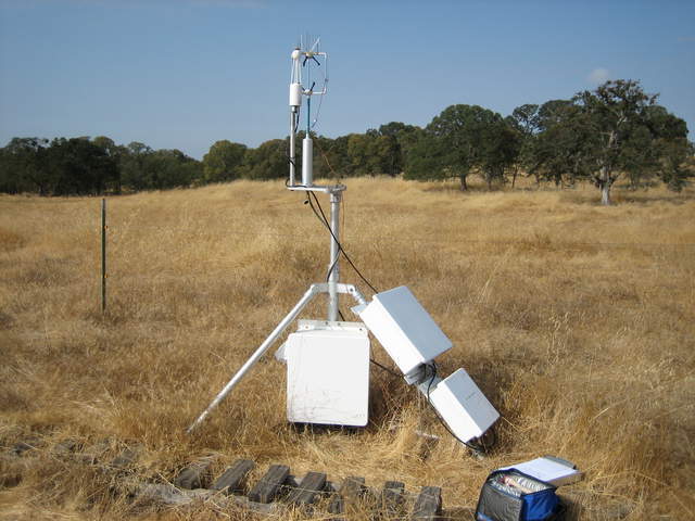 |
| 428 | VR_004.jpg Vaira sonic and IRGA |
Vaira | 2010-10-07 17:44:19 | 1944x2592 | Canon PowerShot SD400 | 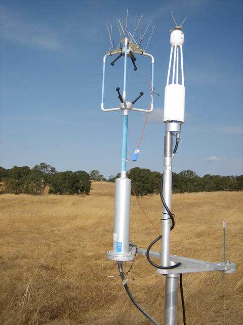 |
| 429 | VR_007.jpg Grass and trees at Vaira |
Vaira | 2010-10-07 17:45:26 | 2592x1944 | Canon PowerShot SD400 | 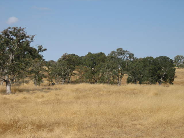 |
| 430 | VR_015.jpg Radiometers, rain bucket and RH/T sensor at Vaira |
Vaira | 2010-10-07 18:07:40 | 2592x1944 | Canon PowerShot SD400 | 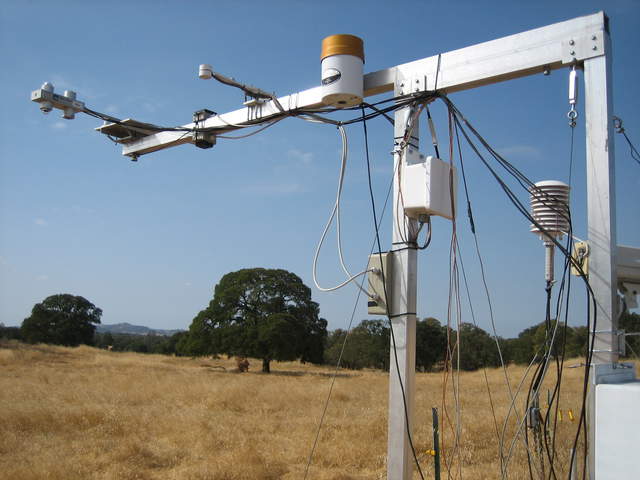 |
| 431 | VR_017.jpg Radiometer tower are Vaira |
Vaira | 2010-10-07 18:08:26 | 2592x1944 | Canon PowerShot SD400 | 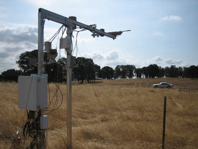 |
| 432 | VR_018.jpg Grass, trees and clouds at Vaira |
Vaira | 2010-10-07 18:08:39 | 2592x1944 | Canon PowerShot SD400 | 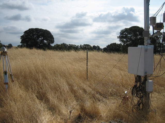 |
| 433 | VR_019.jpg Grass and trees at Vaira |
Vaira | 2010-10-07 18:08:47 | 2592x1944 | Canon PowerShot SD400 | 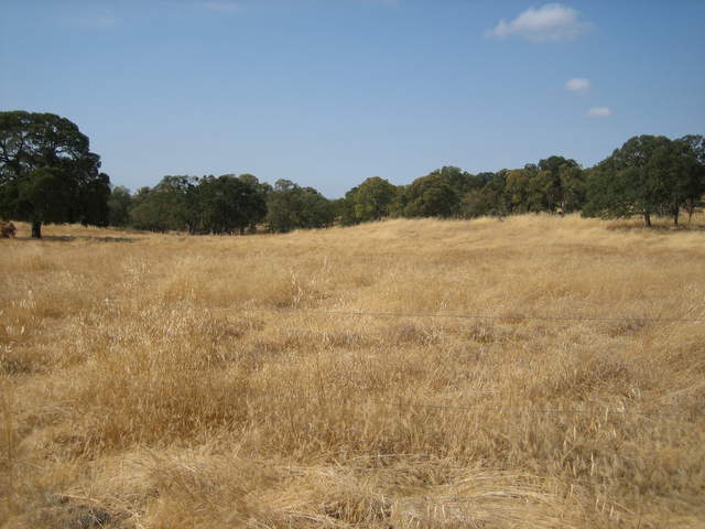 |
| 396 | TZ_004.jpg Looking up at the Tower top |
Tonzi | 2010-10-07 18:43:18 | 2592x1944 | Canon PowerShot SD400 | 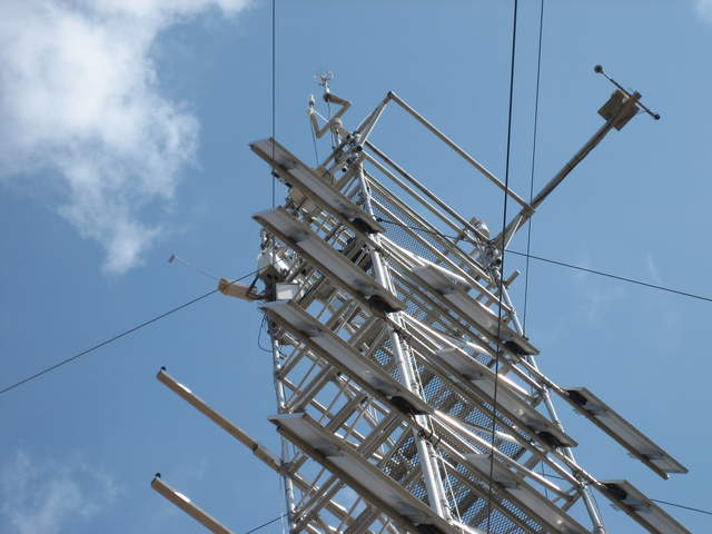 |
| 406 | TZ_010.jpg Siyan working on the Tower computer |
Tonzi | 2010-10-07 18:44:37 | 2592x1944 | Canon PowerShot SD400 | 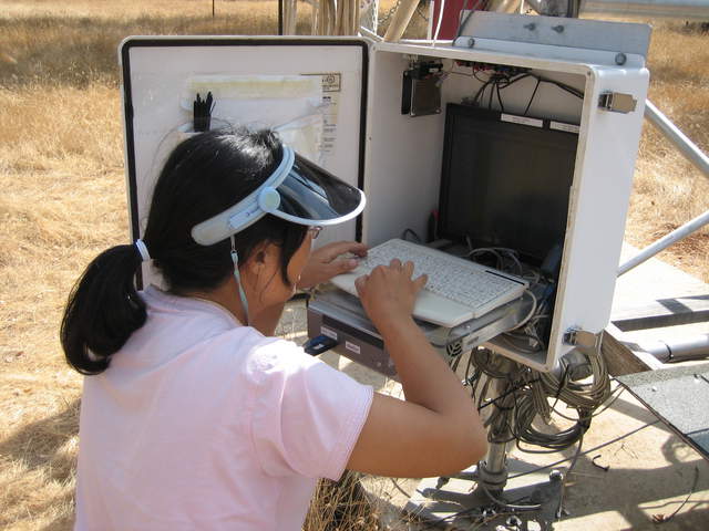 |
| 407 | TZ_014.jpg Siyan at Tonzi, brown grass, green trees |
Tonzi | 2010-10-07 18:46:16 | 2592x1944 | Canon PowerShot SD400 | 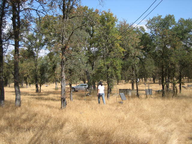 |
| 408 | TZ_015.jpg Brown grass and breen trees at Tonzi |
Tonzi | 2010-10-07 18:46:22 | 2592x1944 | Canon PowerShot SD400 | 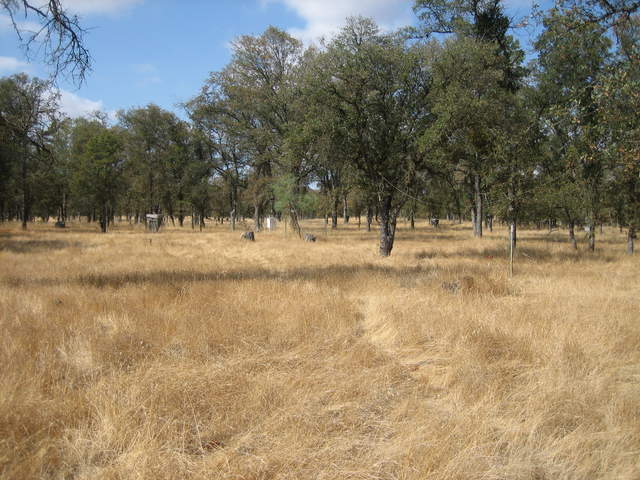 |
| 409 | TZ_016.jpg Brown grass and green trees at Tonzi |
Tonzi | 2010-10-07 18:46:27 | 2592x1944 | Canon PowerShot SD400 | 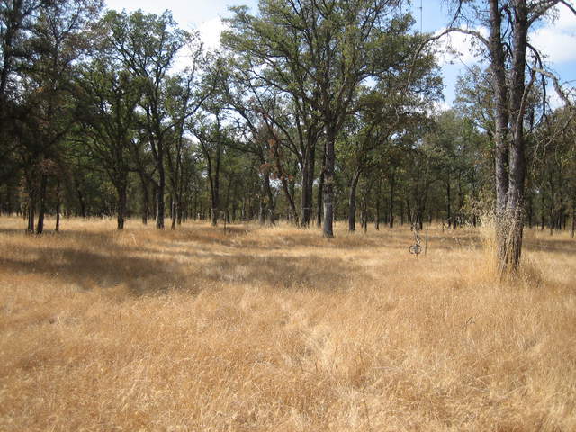 |
| 410 | TZ_017.jpg Brown grass and green trees at Tonzi |
Tonzi | 2010-10-07 18:46:32 | 2592x1944 | Canon PowerShot SD400 | 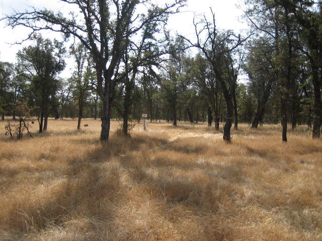 |
| 411 | TZ_020.jpg Siyan checking the calibration gas tanks at Tonzi |
Tonzi | 2010-10-07 18:47:34 | 2592x1944 | Canon PowerShot SD400 | 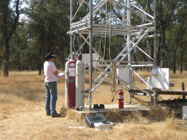 |
| 412 | TZ_022.jpg The radiometer tram and under-story eddy tower at Tonzi |
Tonzi | 2010-10-07 19:17:14 | 1944x2592 | Canon PowerShot SD400 | 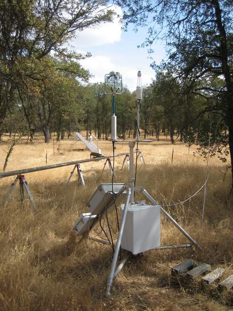 |
| 413 | TZ_025.jpg Radiometer tram and tram car |
Tonzi | 2010-10-07 19:17:56 | 1944x2592 | Canon PowerShot SD400 | 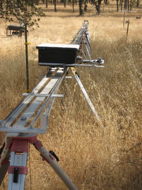 |
| 414 | TZ_029.jpg The Floor eddy tower at Tonzi |
Tonzi | 2010-10-07 19:19:35 | 1944x2592 | Canon PowerShot SD400 | 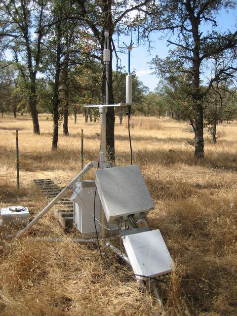 |
| 415 | TZ_040.jpg Temporary under-story RH/T sensor and net radiation |
Tonzi | 2010-10-07 19:22:47 | 1944x2592 | Canon PowerShot SD400 | 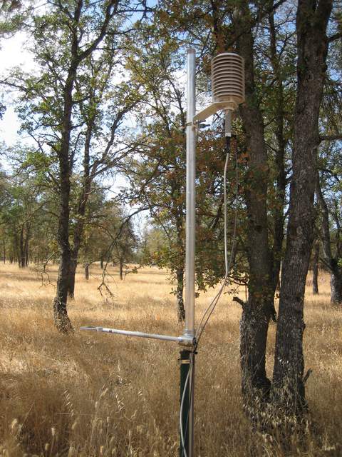 |
| 416 | TZ_044.jpg Siyan doing manual Moisture Point soil measurements |
Tonzi | 2010-10-07 19:23:32 | 2592x1944 | Canon PowerShot SD400 | 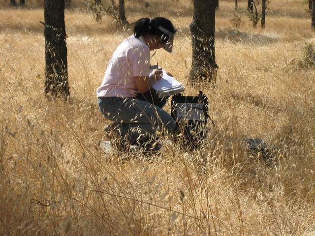 |
| 417 | TZ_051.jpg Temporary Floor net radiation and PAR sensors |
Tonzi | 2010-10-07 19:34:27 | 1944x2592 | Canon PowerShot SD400 | 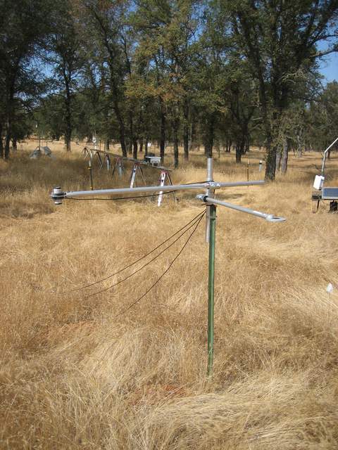 |
| 418 | TZ_056.jpg Big tree near soil CO2 measurements |
Tonzi | 2010-10-07 19:37:06 | 2592x1944 | Canon PowerShot SD400 | 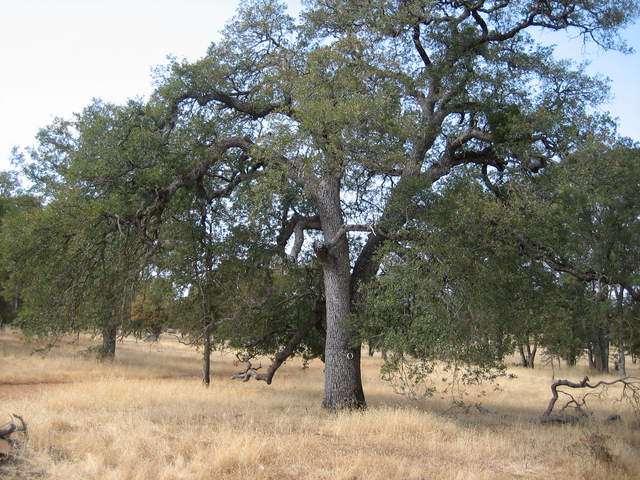 |
| 419 | TZ_058.jpg Moisture Point logger and probe |
Tonzi | 2010-10-07 19:38:07 | 2592x1944 | Canon PowerShot SD400 | 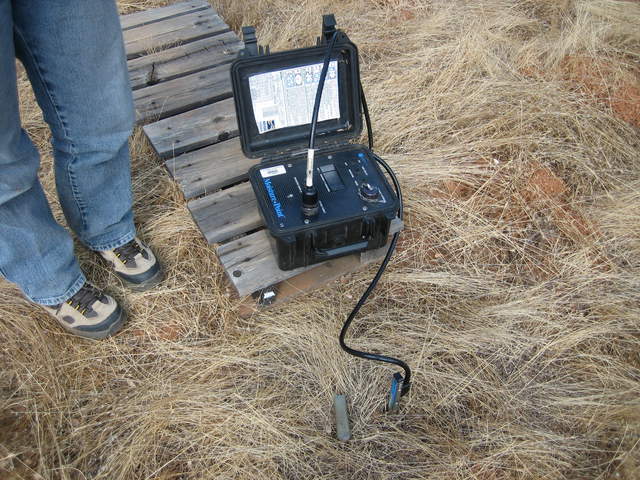 |
| 420 | TZ_059.jpg Manual dendrometer on tree trunk |
Tonzi | 2010-10-07 19:46:19 | 2592x1944 | Canon PowerShot SD400 | 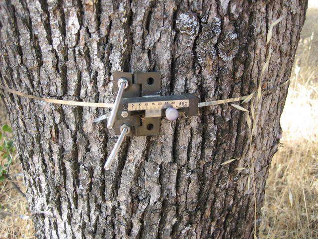 |
| 421 | TZ_064.jpg Measuring water level in the well |
Tonzi | 2010-10-07 20:11:15 | 2592x1944 | Canon PowerShot SD400 | 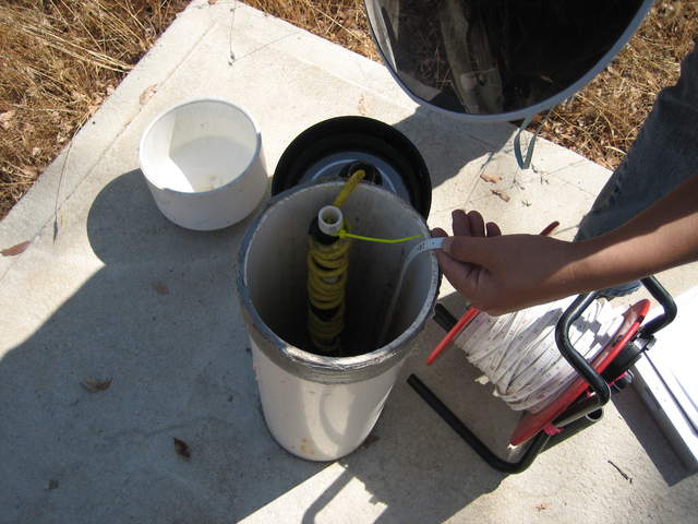 |
| 422 | TZ_067.jpg Another manual dendrometer on tree trunk |
Tonzi | 2010-10-07 20:13:51 | 2592x1944 | Canon PowerShot SD400 | 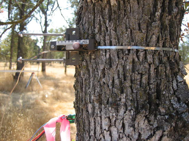 |
| 423 | TZ_069.jpg View of the Tonzi Tower |
Tonzi | 2010-10-07 20:16:05 | 1944x2592 | Canon PowerShot SD400 | 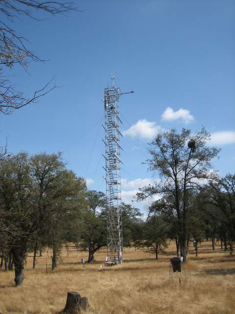 |
| 424 | TZ_073.jpg Making leaf water potential measurements |
Tonzi | 2010-10-07 20:42:53 | 2592x1944 | Canon PowerShot SD400 | 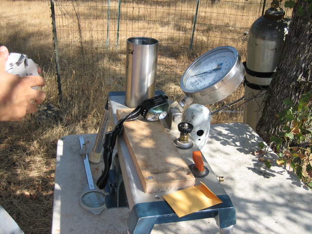 |
| 425 | TZ_074.jpg Making leaf water potential measurements |
Tonzi | 2010-10-07 20:43:37 | 2592x1944 | Canon PowerShot SD400 | 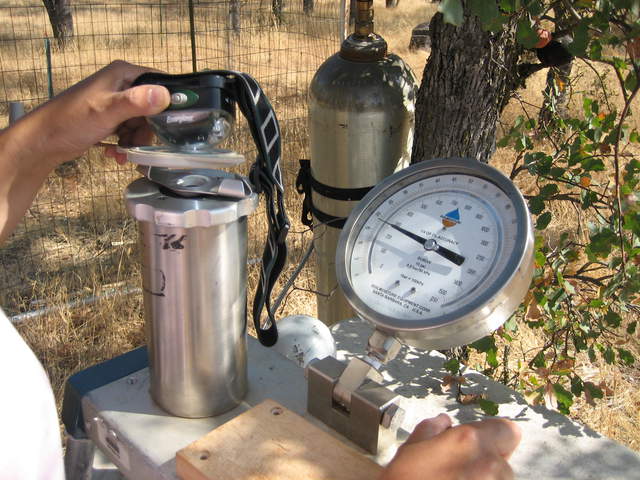 |
| 426 | TZ_077.jpg View of the Tonzi Tower |
Tonzi | 2010-10-07 21:21:44 | 1944x2592 | Canon PowerShot SD400 | 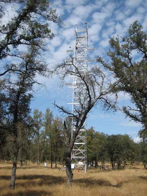 |
| 394 | 20101008MB_FromSECorner.jpg View of new Mayberry wetland from southeast corner |
Mayberry | 2010-10-08 09:16:20 | 3648x2736 | Canon PowerShot A480 | 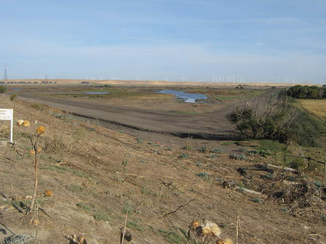 |
| 393 | 20101008MB_DiabloFromSite.jpg Dirt construction road with Mt Diablo in the background |
Mayberry | 2010-10-08 09:38:39 | 3648x2736 | Canon PowerShot A480 | 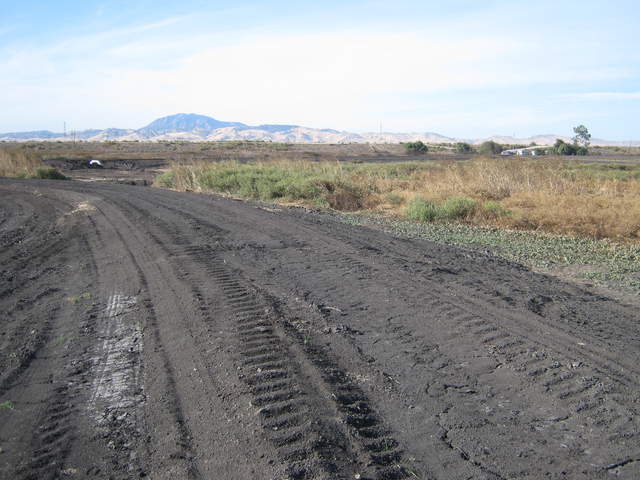 |
| 395 | 20101008MB_PrimarySite.jpg Partially flooded Mayberyy wetland |
Mayberry | 2010-10-08 09:39:10 | 3648x2736 | Canon PowerShot A480 | 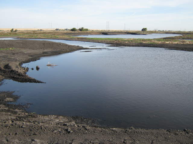 |
| 392 | 20101008MB_AlternateSite.jpg Dennis scouting a site for the Mayberry wetland tower |
Mayberry | 2010-10-08 09:59:13 | 3648x2736 | Canon PowerShot A480 | 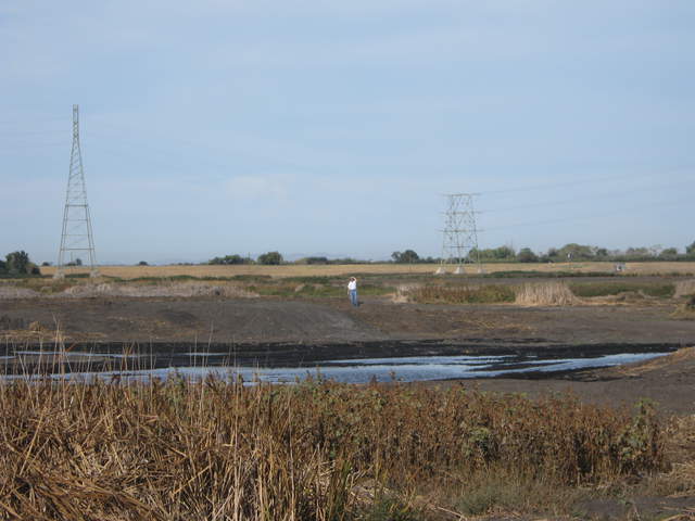 |
| 625 | SI_webcam_20102840645.jpg Bridge Shadow. |
Sherman Island | 2010-10-11 05:45:02 | 640x480 | D-Link DCS-900 | 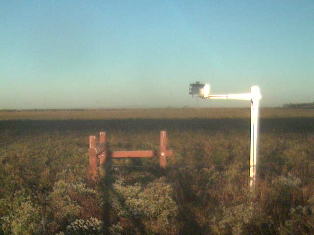 |
| 626 | SI_webcam_20102851745.jpg Cows at sunset. |
Sherman Island | 2010-10-12 16:45:02 | 640x480 | D-Link DCS-900 |  |
| 444 | 20101014TW_Tower.jpg Equipment box and eddy tower at Twithcell rice field |
Twitchell Rice | 2010-10-14 09:53:58 | 3648x2736 | Canon PowerShot A480 | 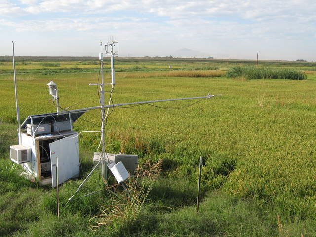 |
| 443 | 20101014TW_Field.jpg Rice field at Twitchell Island |
Twitchell Rice | 2010-10-14 09:54:09 | 3648x2736 | Canon PowerShot A480 | 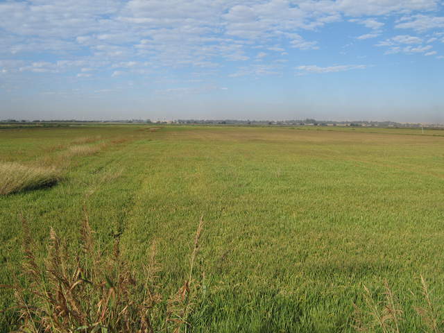 |
| 434 | 20101014MB_JaclynTower.jpg Jaclyn taking photos at Mayberry, solar panels and tower |
Mayberry | 2010-10-14 12:56:54 | 3648x2736 | Canon PowerShot A480 | 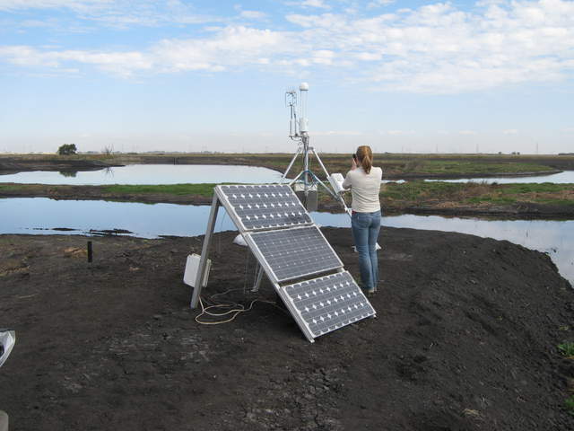 |
| 436 | 20101014MB_PanelsTower.jpg Solar panels and tower at Mayberry |
Mayberry | 2010-10-14 12:57:06 | 3648x2736 | Canon PowerShot A480 | 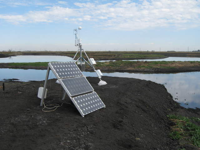 |
| 435 | 20101014MB_PanelsBatteries.jpg Solar panels at Mayberry |
Mayberry | 2010-10-14 12:57:18 | 3648x2736 | Canon PowerShot A480 | 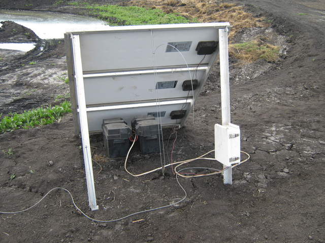 |
| 441 | 20101014MB_Tower.jpg Maybery eddy tower sky reflected in water |
Mayberry | 2010-10-14 12:57:26 | 3648x2736 | Canon PowerShot A480 | 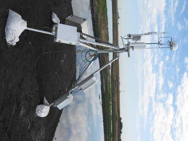 |
| 437 | 20101014MB_Site.jpg Long view of levee and Mayberry tower site |
Mayberry | 2010-10-14 13:00:01 | 3648x2736 | Canon PowerShot A480 | 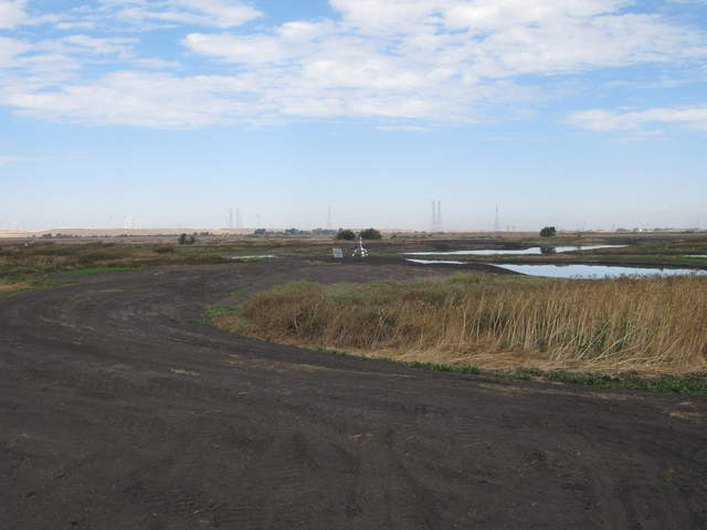 |
| 440 | 20101014MB_SiteZoom.jpg Zoomed view of Mayberry site from main levee |
Mayberry | 2010-10-14 13:00:12 | 3648x2736 | Canon PowerShot A480 | 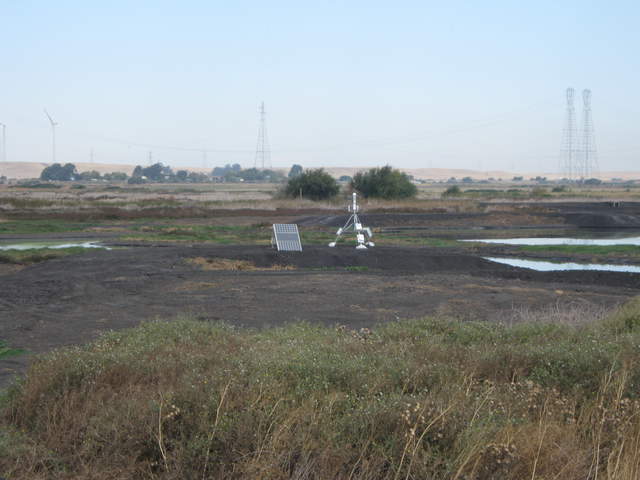 |
| 438 | 20101014MB_SiteFromLevee.jpg Super long view of Mayberry site from main levee |
Mayberry | 2010-10-14 13:02:27 | 3648x2736 | Canon PowerShot A480 | 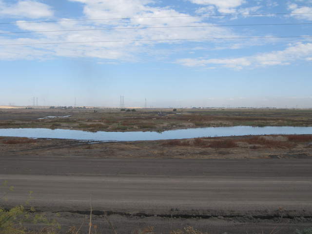 |
| 439 | 20101014MB_SiteFromLeveeZoom.jpg Zoomed view of Mayberry site from main levee |
Mayberry | 2010-10-14 13:02:37 | 3648x2736 | Canon PowerShot A480 | 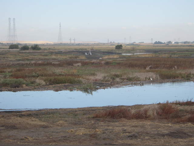 |
| 442 | 20101014SI_JaclynTower.jpg Jaclyn at Sherman Pasture site |
Sherman Island | 2010-10-14 13:36:55 | 3648x2736 | Canon PowerShot A480 | 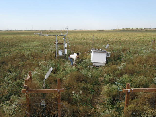 |
| 627 | SI_webcam_20102881545.jpg Bird on diffuse radiation shadow band. |
Sherman Island | 2010-10-15 14:45:02 | 640x480 | D-Link DCS-900 |  |

