Biomet Gallery
All Photos | Site Cam Gallery | Key words
Large Photos
Page: 1
2
3
4
5
6
7
8
9
10
11
12
13
14
[15] 16
17
18
19
20
21
22
23
24
25
26
27
28
29
30
31
32
33
34
35
36
37
38
39
40
41
42
43
44
45
46
47
48
49
50
51
52
53
54
55
56
57
58
59
60
61
62
63
64
65
66
67
68
69
70
71
72
73
74
75
76
77
78
79
80
81
82
83
84
85
86
87
88
89
90
91
92
93
94
95
96
97
98
99
100
101
102
103
104
105
106
107
108
109
110
111
112
113
114
115
116
117
118
119
120
121
122
123
124
125
126
127
128
129
130
131
132
133
134
135
136
| ID | Name | Location | Date | Size | Camera | Thumb |
|---|---|---|---|---|---|---|
| 95 | 20100616TW_FranksTower1.jpg Frank working on East Pond tower |
East Pond | 2010-06-16 12:16:02 | 3648x2736 | Canon PowerShot A480 | 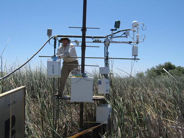 |
| 92 | 20100616TW_FranksBox.jpg Testing LI-7700 at East Pond equipment box |
East Pond | 2010-06-16 13:20:10 | 3648x2736 | Canon PowerShot A480 | 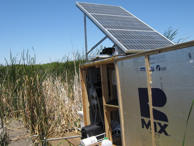 |
| 93 | 20100616TW_FranksSite1.jpg East Pond USGS eddy site |
East Pond | 2010-06-16 13:20:40 | 3648x2736 | Canon PowerShot A480 | 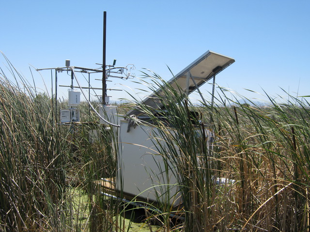 |
| 94 | 20100616TW_FranksSite2.jpg East Pond USGS eddy site |
East Pond | 2010-06-16 13:20:58 | 3648x2736 | Canon PowerShot A480 | 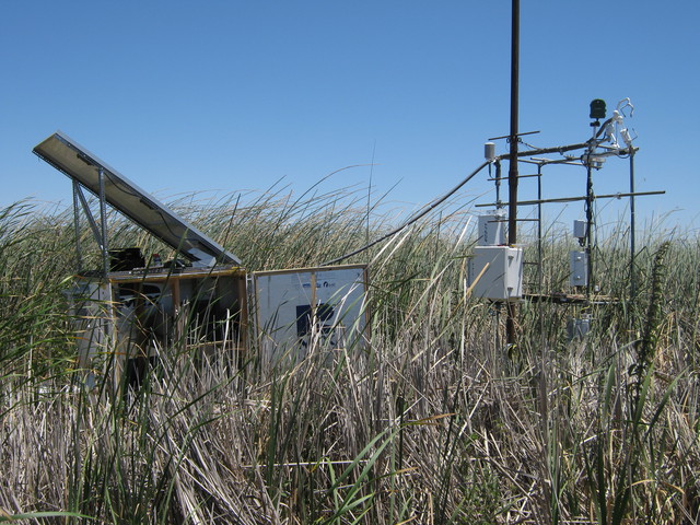 |
| 44 | SI_webcam_20101711915.jpg Sun setting behind diffuse radiation boom. |
Sherman Island | 2010-06-20 19:15:02 | 640x480 | D-Link DCS-900 | 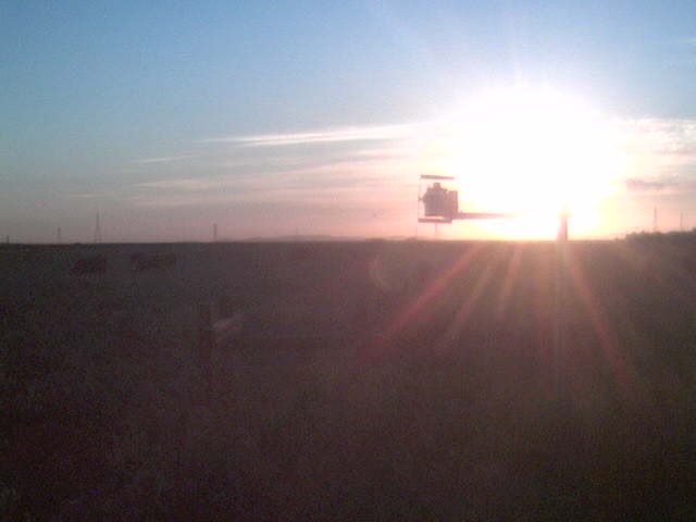 |
| 48 | 20100622SI_CPSonicHeading.jpg Magnetic heading of sonic. |
Sherman Island | 2010-06-22 10:00:30 | 3648x2736 | Canon PowerShot A480 | 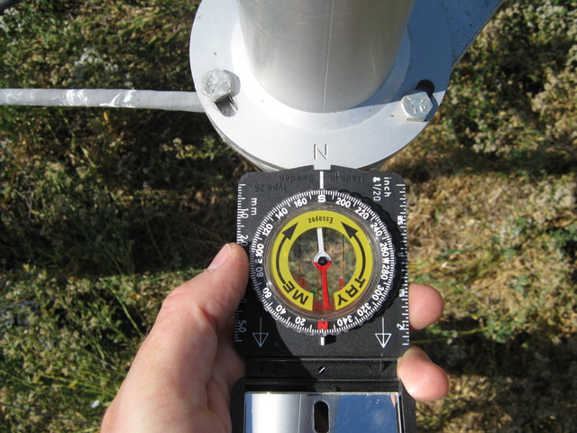 |
| 49 | 20100622SI_LeveeSonicHeading.jpg Magnetic heading of sonic. |
Sherman Island | 2010-06-22 10:25:32 | 3648x2736 | Canon PowerShot A480 | 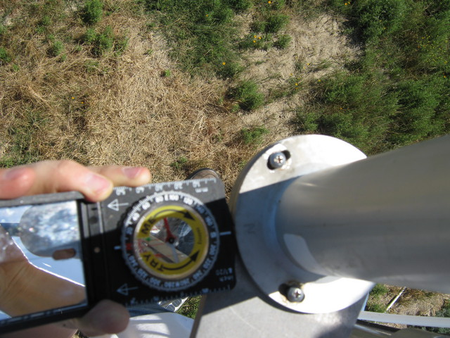 |
| 107 | 20100622TW_SwallowRadiometers.jpg Swallow perched on the radiometers |
Twitchell Rice | 2010-06-22 11:47:18 | 3648x2736 | Canon PowerShot A480 | 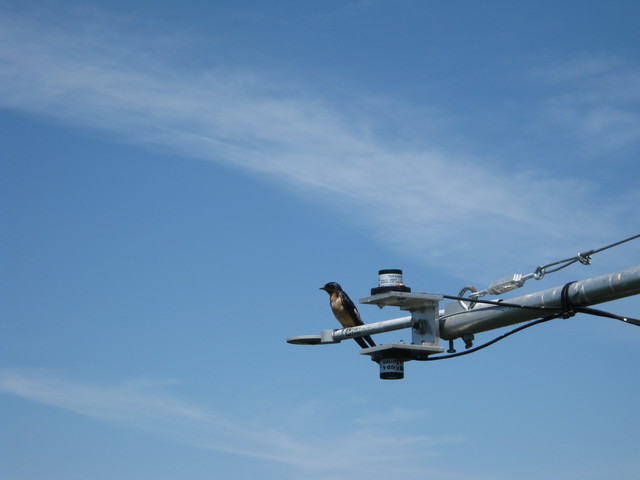 |
| 106 | 20100622TW_SonicHeading.jpg Compass heading of rice sonic |
Twitchell Rice | 2010-06-22 12:07:40 | 3648x2736 | Canon PowerShot A480 | 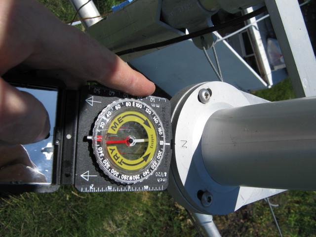 |
| 98 | 20100622TW_FieldWest.jpg Weedy flooded rice field |
Twitchell Rice | 2010-06-22 12:08:08 | 3648x2736 | Canon PowerShot A480 | 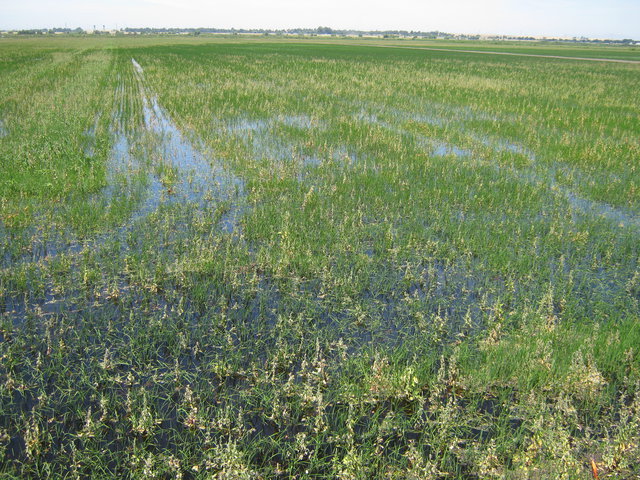 |
| 105 | 20100622TW_Radiometers.jpg Radiometer boom over rice paddy |
Twitchell Rice | 2010-06-22 12:08:20 | 3648x2736 | Canon PowerShot A480 | 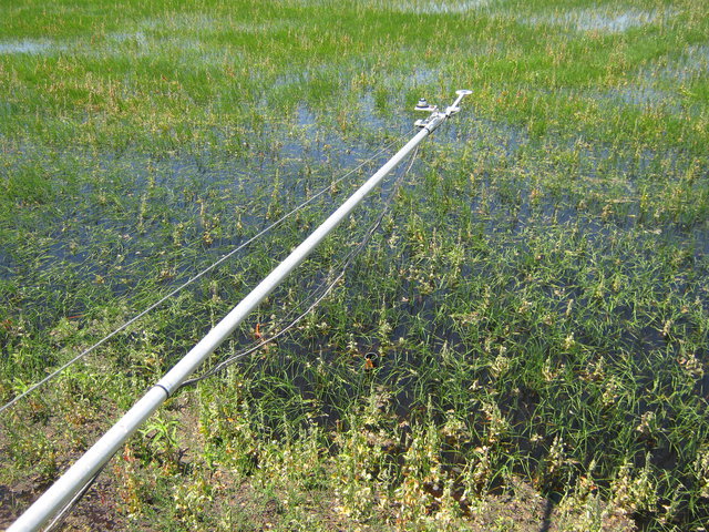 |
| 99 | 20100622TW_FranksSite1.jpg East Pond USGS eddy site |
East Pond | 2010-06-22 13:06:16 | 3648x2736 | Canon PowerShot A480 | 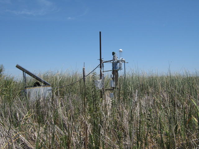 |
| 100 | 20100622TW_FranksSite2.jpg East Pond USGS eddy site |
East Pond | 2010-06-22 13:06:40 | 3648x2736 | Canon PowerShot A480 | 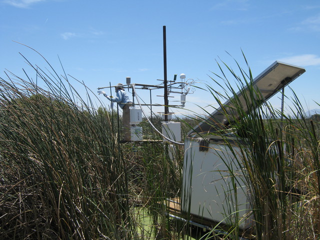 |
| 101 | 20100622TW_LI7700Franks1.jpg 7700 and eddy sensors at East Pond |
East Pond | 2010-06-22 13:09:04 | 3648x2736 | Canon PowerShot A480 | 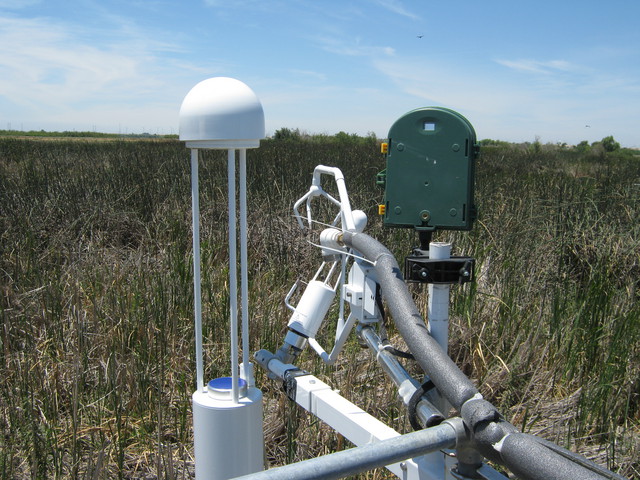 |
| 102 | 20100622TW_LI7700Franks2.jpg 7700 and eddy sensors at East Pond |
East Pond | 2010-06-22 13:09:32 | 3648x2736 | Canon PowerShot A480 | 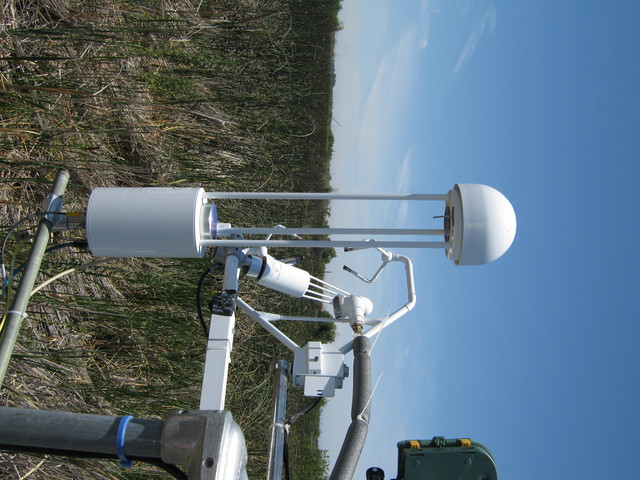 |
| 103 | 20100622TW_LI7700Franks3.jpg 7700 and eddy sensors at East Pond |
East Pond | 2010-06-22 13:10:04 | 3648x2736 | Canon PowerShot A480 | 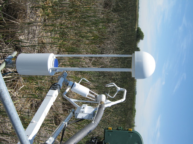 |
| 104 | 20100622TW_LI7700Franks4.jpg Frank's East Pond tower |
East Pond | 2010-06-22 13:11:54 | 3648x2736 | Canon PowerShot A480 | 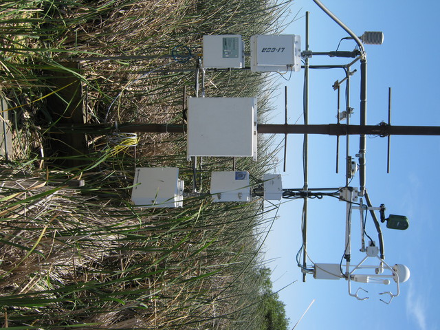 |
| 45 | SI_webcam_20101731945.jpg Pink clouds at sunset. |
Sherman Island | 2010-06-22 19:45:04 | 640x480 | D-Link DCS-900 | 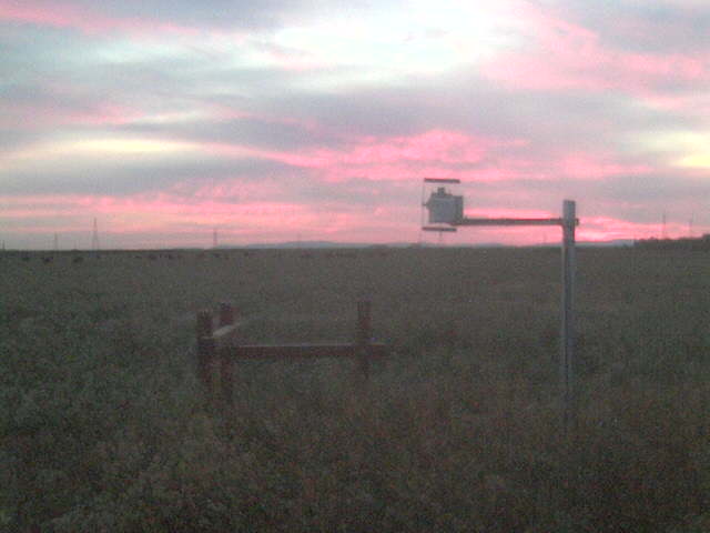 |
| 135 | TZ_IMG_0620.jpg Leaf water potential measurement station |
Tonzi | 2010-06-24 05:44:39 | 1600x1200 | iPhone 3G | 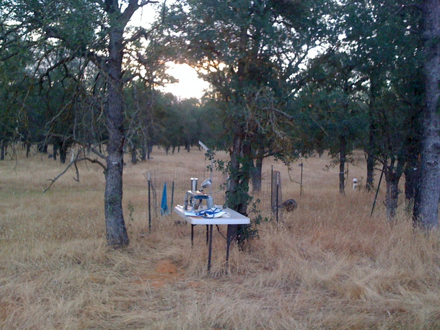 |
| 137 | TZ_IMG_0621.jpg Dawn at the oak savanna |
Tonzi | 2010-06-24 05:44:50 | 1600x1200 | iPhone 3G | 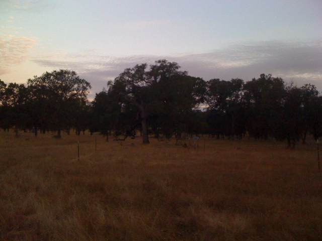 |
| 139 | TZ_IMG_0622.jpg Main Tonzi tower at dawn |
Tonzi | 2010-06-24 07:06:44 | 1200x1600 | iPhone 3G | 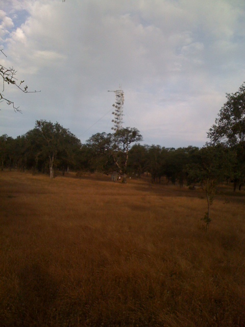 |
| 141 | TZ_IMG_0623.jpg Oaks, pines and dead grass |
Tonzi | 2010-06-24 07:06:54 | 1600x1200 | iPhone 3G | 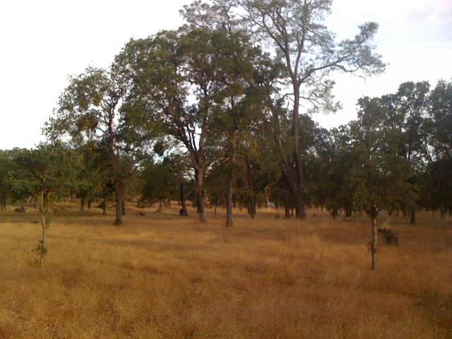 |
| 3917 | 20100624VR_SonicHeading.jpg Sonic heading |
Vaira | 2010-06-24 08:54:39 | 1920x1440 | Canon PowerShot A480 | 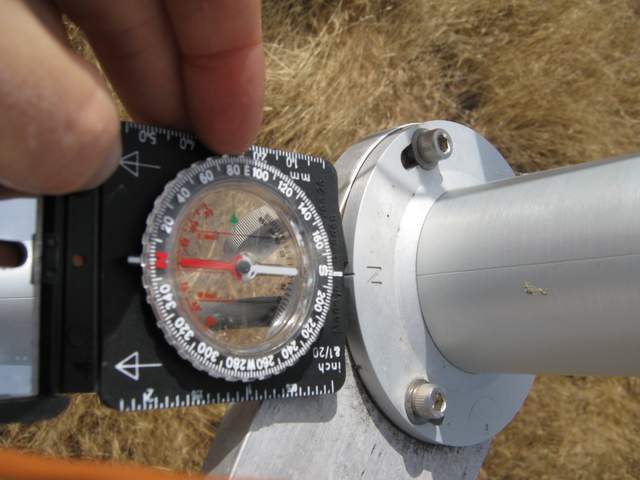 |
| 50 | 20100701SI_Site.jpg Looking west at the tower. |
Sherman Island | 2010-07-01 09:03:42 | 3648x2736 | Canon PowerShot A480 | 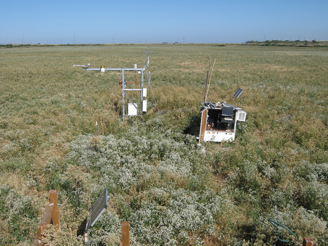 |
| 51 | 20100701SI_FieldNorth.jpg Looking northwest at Jaclyn working on the soil CO2 sensors. |
Sherman Island | 2010-07-01 09:03:50 | 3648x2736 | Canon PowerShot A480 | 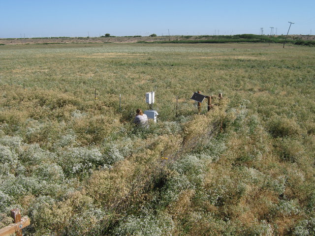 |
| 52 | 20100701SI_FieldSouth.jpg The field south of the tower and Mt. Diablo. |
Sherman Island | 2010-07-01 09:04:14 | 3648x2736 | Canon PowerShot A480 | 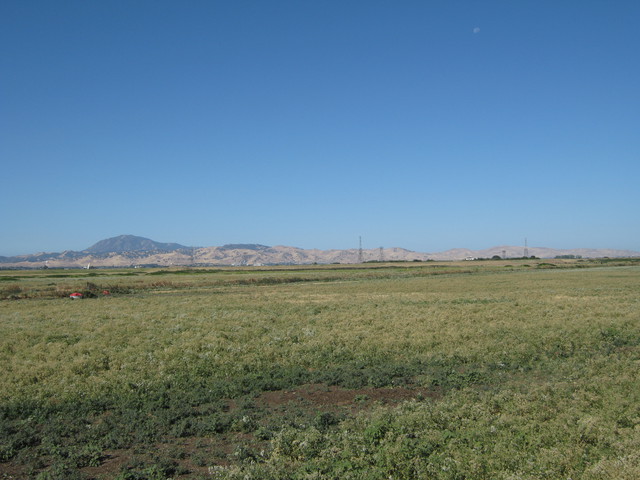 |
| 108 | 20100701TW_CropDuster1.jpg Crop duster over the rice fields |
Twitchell Rice | 2010-07-01 09:36:56 | 3648x2736 | Canon PowerShot A480 | 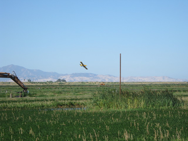 |
| 109 | 20100701TW_CropDuster2.jpg Crop duster over the rice fields |
Twitchell Rice | 2010-07-01 09:37:06 | 3648x2736 | Canon PowerShot A480 | 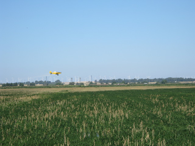 |
| 110 | 20100701TW_CropDuster3.jpg Crop duster over the rice fields |
Twitchell Rice | 2010-07-01 09:39:44 | 3648x2736 | Canon PowerShot A480 | 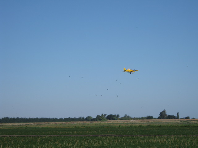 |
| 111 | 20100701TW_FieldWest.jpg Weedy flooded rice field |
Twitchell Rice | 2010-07-01 11:10:44 | 3648x2736 | Canon PowerShot A480 | 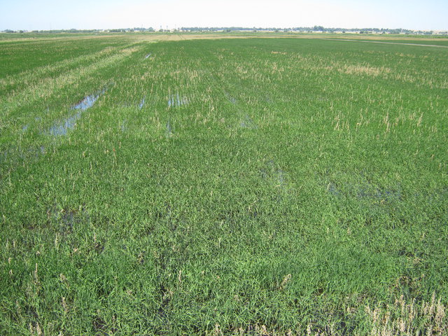 |
| 112 | 20100701TW_Tower.jpg Eddy tower and equipment box at rice field secondary site |
Twitchell Rice | 2010-07-01 11:10:56 | 3648x2736 | Canon PowerShot A480 | 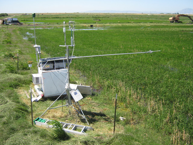 |
| 229 | SI_webcam_20101841415.jpg Birds on fence and shadow band |
Sherman Island | 2010-07-03 14:15:04 | 640x480 | D-Link DCS-900 | 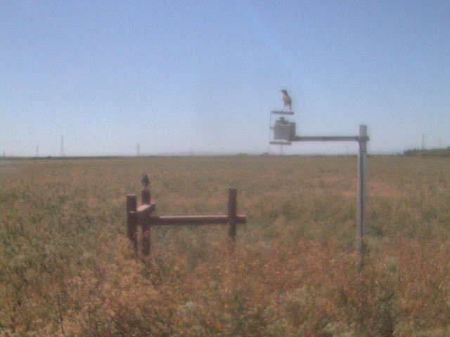 |
| 230 | SI_webcam_20101841915.jpg Sun on horizon. |
Sherman Island | 2010-07-03 19:15:04 | 640x480 | D-Link DCS-900 |  |
| 231 | SI_webcam_20101891045.jpg Joe's shirt. |
Sherman Island | 2010-07-08 10:45:02 | 640x480 | D-Link DCS-900 |  |
| 53 | 20100708SI_TowerBoxBJ.jpg Beniamino and Joe at the tower. |
Sherman Island | 2010-07-08 12:23:46 | 3648x2736 | Canon PowerShot A480 | 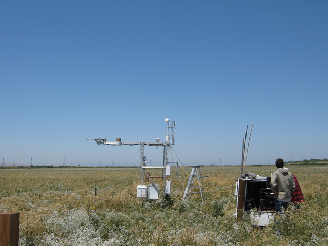 |
| 54 | 20100708SI_BeniaminoJoe1.jpg Joe and Beniamino at Sherman Pasture field site |
Sherman Island | 2010-07-08 12:23:58 | 3648x2736 | Canon PowerShot A480 | 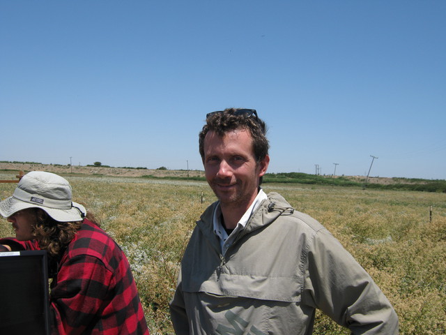 |
| 55 | 20100708SI_LI7700Tower1.jpg Sherman Pasture eddy tower |
Sherman Island | 2010-07-08 12:24:12 | 3648x2736 | Canon PowerShot A480 | 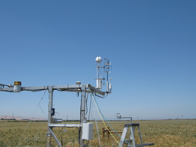 |
| 56 | 20100708SI_LI7700Tower2.jpg Sherman pasture eddy tower with Mt Diablo in background |
Sherman Island | 2010-07-08 12:24:24 | 3648x2736 | Canon PowerShot A480 | 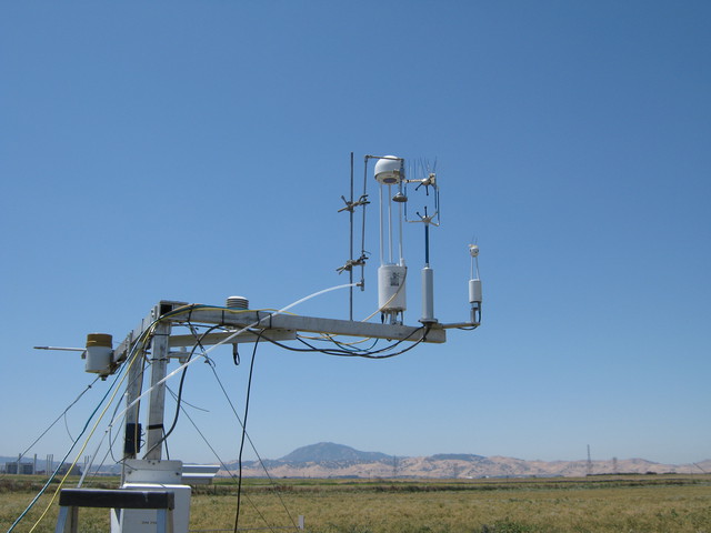 |
| 57 | 20100708SI_LI7700Tower3.jpg Eddy sensors including LI-7700 at Sherman Pasture |
Sherman Island | 2010-07-08 12:24:32 | 3648x2736 | Canon PowerShot A480 | 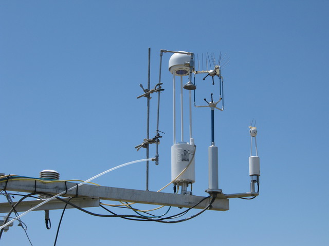 |
| 58 | 20100708SI_Ground1.jpg Looking down at pepper weed and dead grass |
Sherman Island | 2010-07-08 12:25:32 | 3648x2736 | Canon PowerShot A480 | 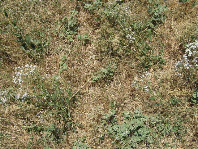 |
| 59 | 20100708SI_Ground2.jpg Looking down at pepper weed and dead grass |
Sherman Island | 2010-07-08 12:25:38 | 3648x2736 | Canon PowerShot A480 | 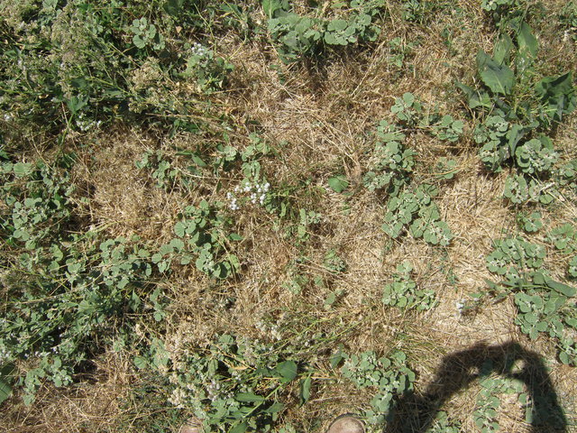 |
| 60 | 20100708SI_Ground3.jpg Looking down a pepper weed and dead grass |
Sherman Island | 2010-07-08 12:25:48 | 3648x2736 | Canon PowerShot A480 | 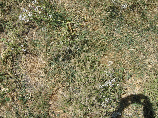 |
| 61 | 20100708SI_MtDiablo.jpg Mt Diablo from Sherman Pasture site |
Sherman Island | 2010-07-08 12:26:16 | 3648x2736 | Canon PowerShot A480 | 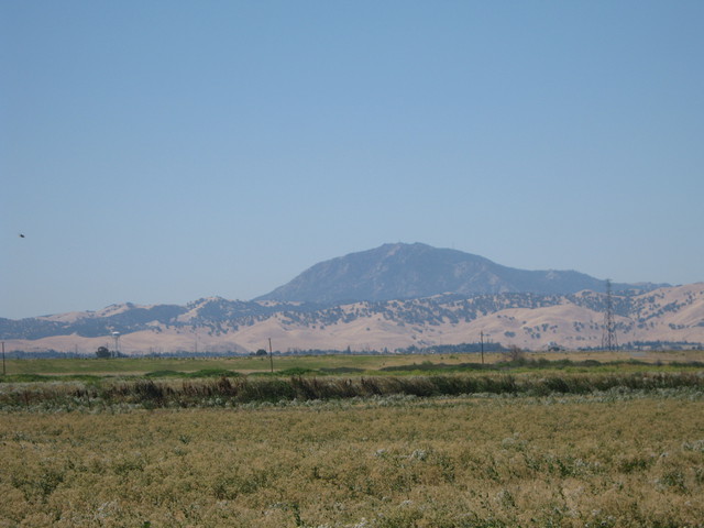 |
| 62 | 20100708SI_LI7700Tower4.jpg Sherman Pasture eddy sensors and radiometers |
Sherman Island | 2010-07-08 12:26:52 | 3648x2736 | Canon PowerShot A480 | 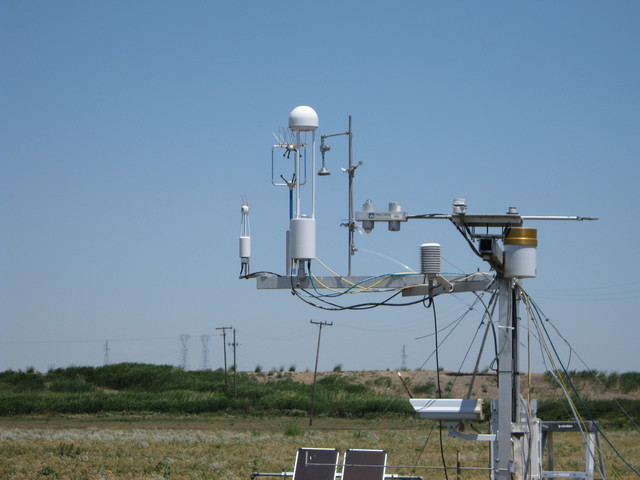 |
| 63 | 20100708SI_LI7700Tower5.jpg Sherman Pasture full eddy tower and solar panels |
Sherman Island | 2010-07-08 12:27:12 | 3648x2736 | Canon PowerShot A480 | 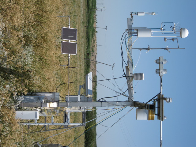 |
| 232 | SI_webcam_20101950815.jpg Jaclyn in the field |
Sherman Island | 2010-07-14 08:15:02 | 640x480 | D-Link DCS-900 | 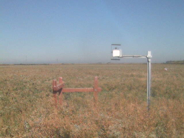 |
| 65 | 20100714SI_TowerLookingSouth.jpg View of Sherman pasture dominated by flowering pepper weed with Mt Diablo in background |
Sherman Island | 2010-07-14 10:10:20 | 3648x2736 | Canon PowerShot A480 | 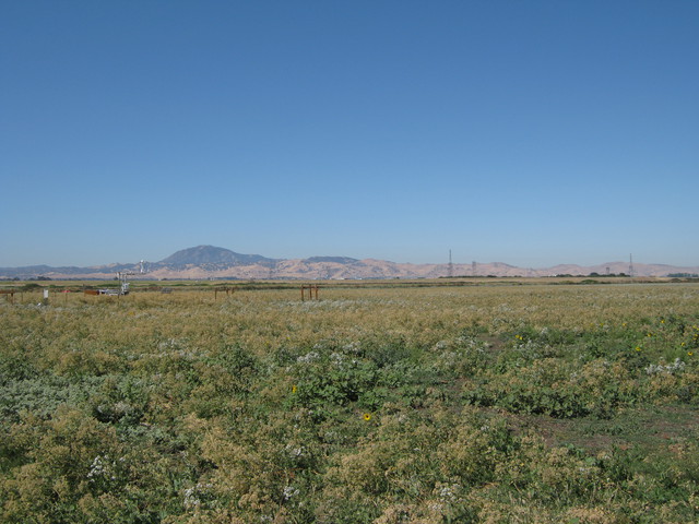 |
| 64 | 20100714SI_TowerLookingNorth.jpg View of Sherman pasture dominated by flowering pepper weed |
Sherman Island | 2010-07-14 10:17:38 | 3648x2736 | Canon PowerShot A480 | 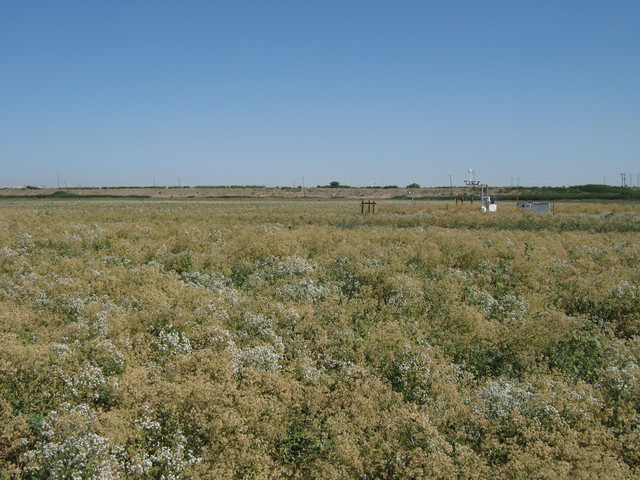 |
| 66 | 20100714TW_JaclynSpectra.jpg Jaclyn making spectral measurements in Twitchell rice field |
Twitchell Rice | 2010-07-14 11:45:54 | 3648x2736 | Canon PowerShot A480 | 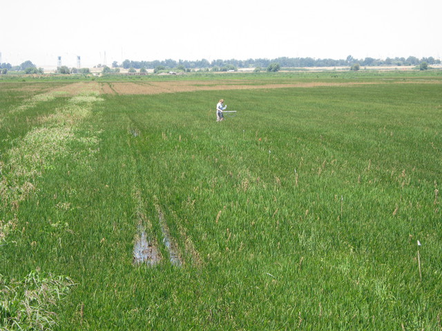 |
| 71 | 20100714TW_Site1.jpg Twitchell Rice site including eddy tower and equipment box |
Twitchell Rice | 2010-07-14 11:50:22 | 3648x2736 | Canon PowerShot A480 | 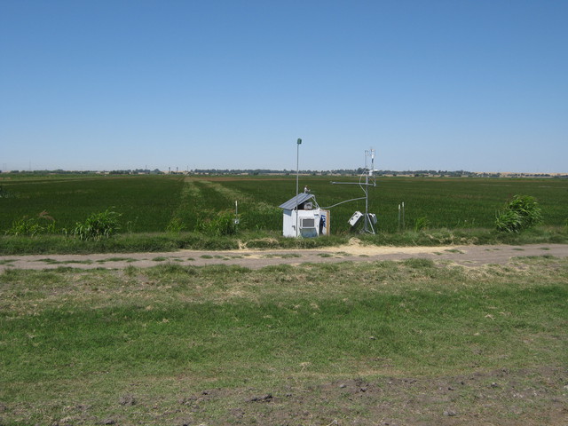 |

