
Biomet Gallery
All Photos | Site Cam Gallery | Key words
View Details
Page: [1]

6748 20240625HS_KoongRobert.jpg (2024-06-25 00:00:00 ) Full size: 1440x1920
Koong and Robert dragging soil coring equipment across the wetland. Taken between HSM_6 and HSM_4, and the water level got that low in that area during spring tide, even though it is close to the levees.
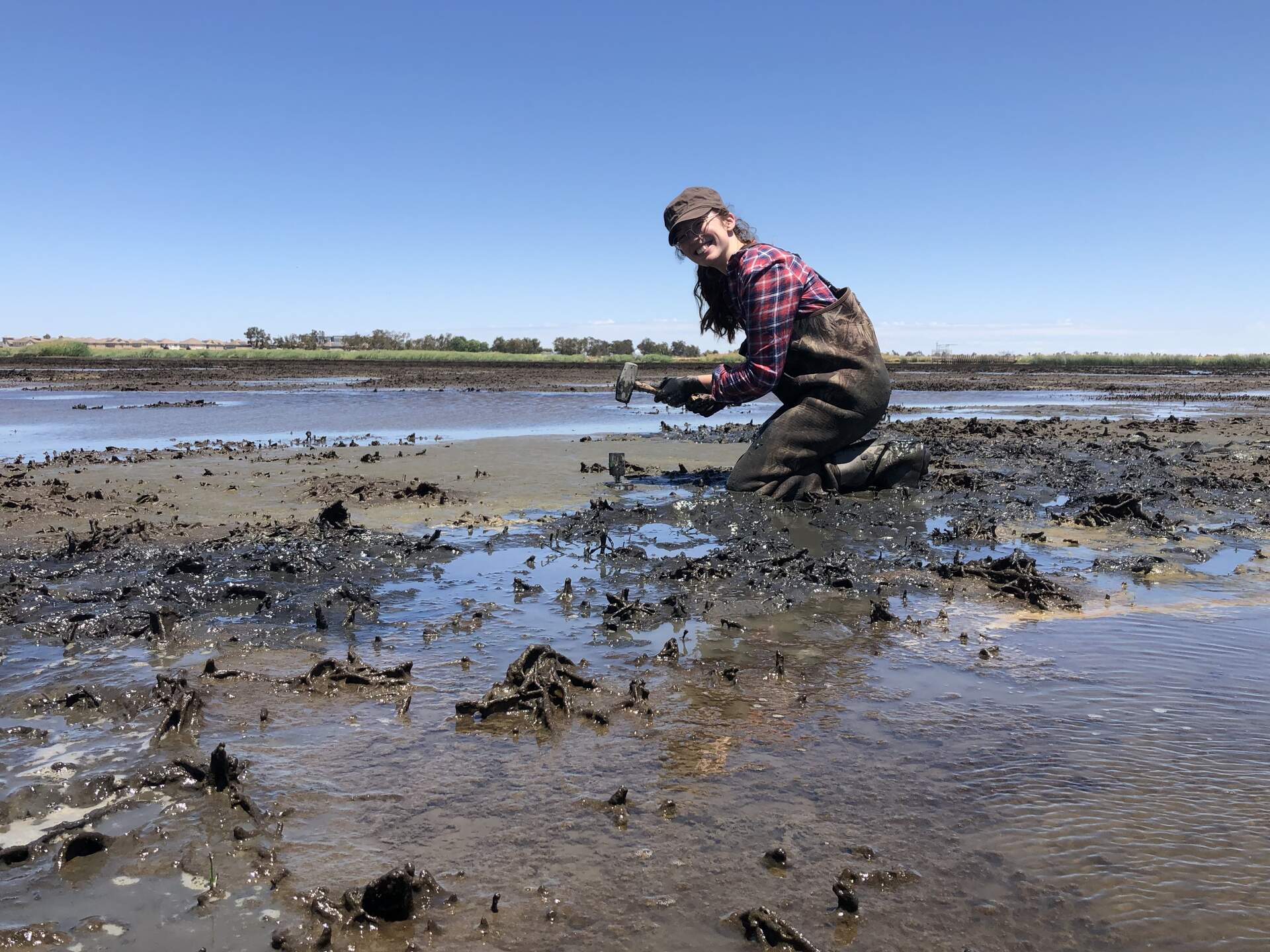
6749 20240625HS_RobertGps.jpg (2024-06-25 00:00:00 ) Full size: 1382x1842
Robert taking GPS points in the mud pit
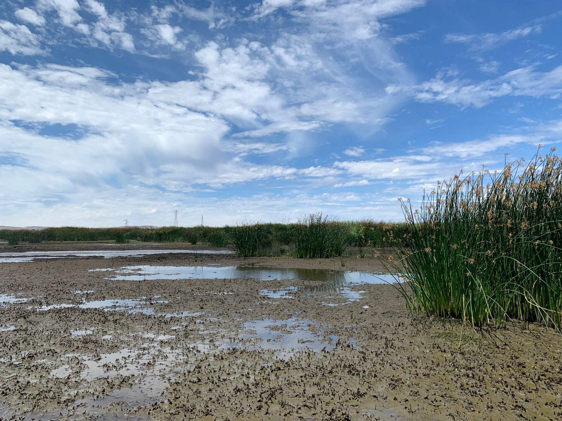
6750 20240625HS_Tules.jpg (2024-06-25 00:00:00 ) Full size: 1920x1440
Tules establishing in the wetland
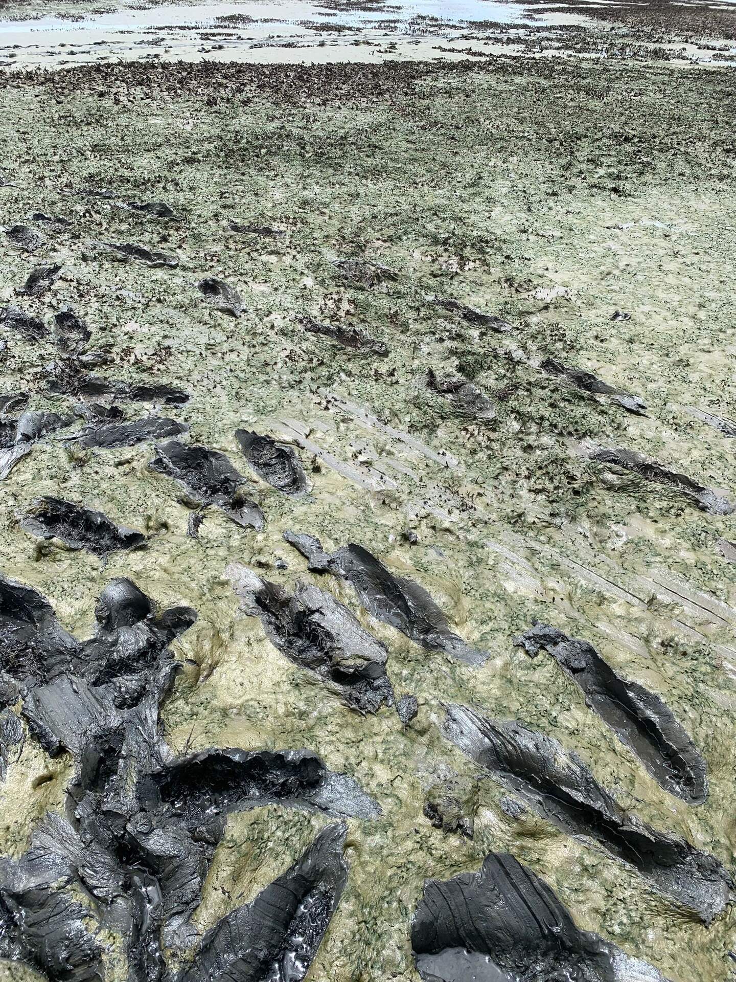
6759 20240626HS_Hsm3Mud.jpg (2024-06-25 00:00:00 ) Full size: 1440x1920
Green mud near HSM_3
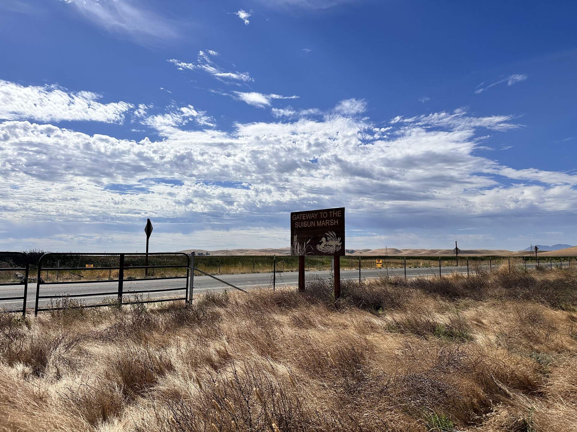
6755 20240625HS_Sign.jpg (2024-06-25 09:59:17 ) Full size: 1920x1440
Welcome to Suisun Marsh!
6758 20240625HS_IreneKoong.jpg (2024-06-25 11:34:22 ) Full size: 1920x1440
Irene and Koong preparing to sample over standing water
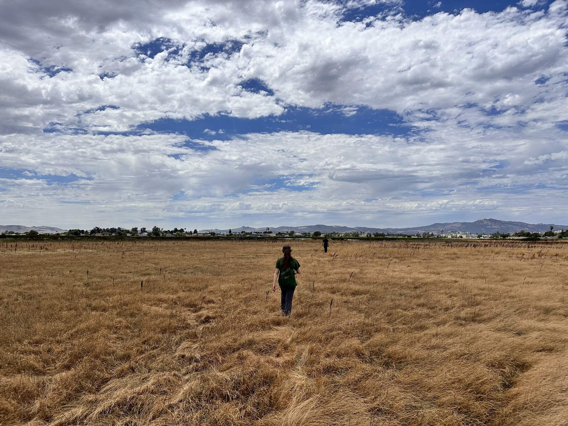
6757 20240625HS_Upland.jpg (2024-06-25 14:28:56 ) Full size: 1920x1440
Irene and Robert walking into the upland section at the north end of Hill Slough marsh. We are trying to relocate HSM_9 to take its GPS point.
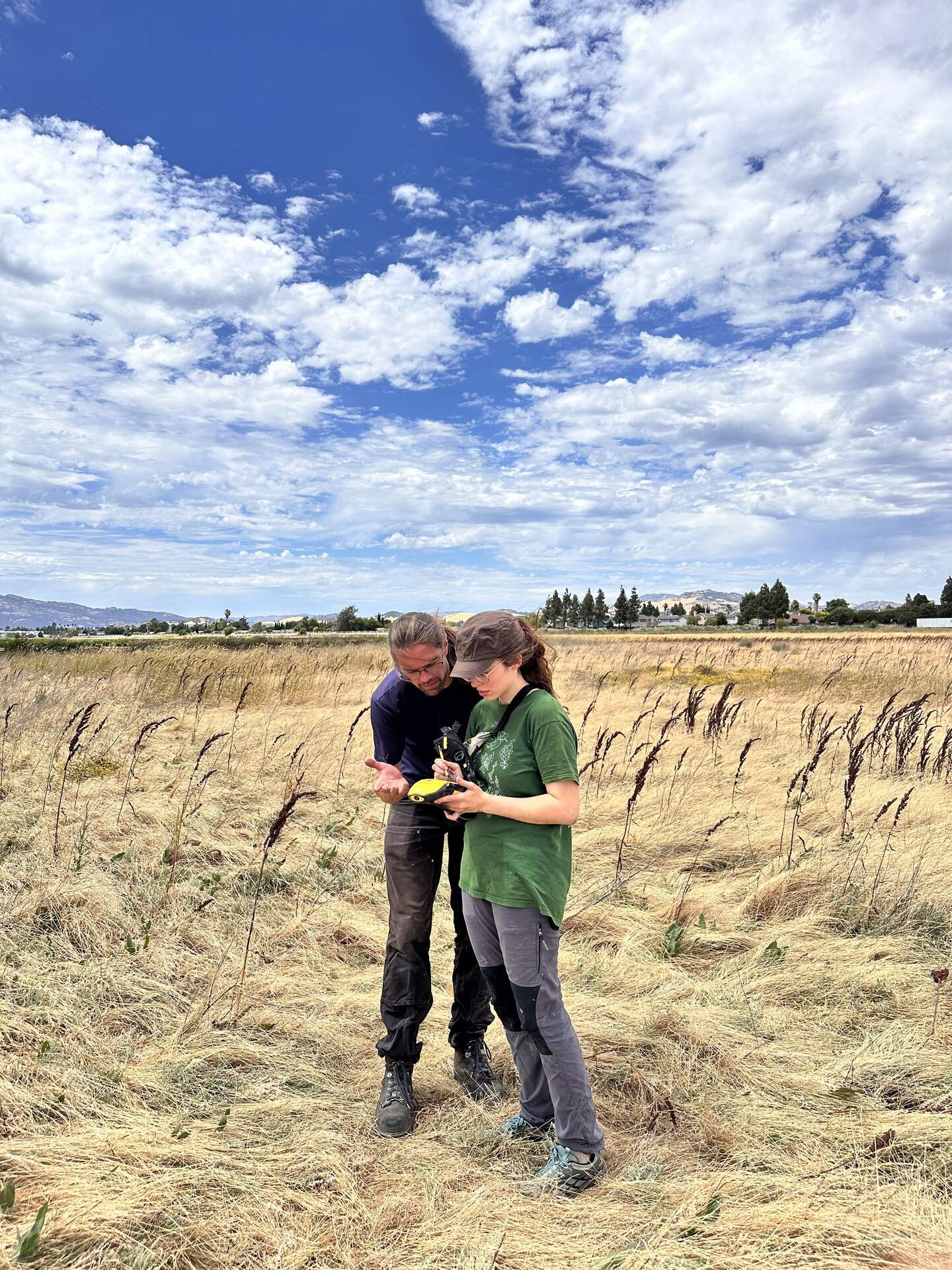
6752 20240625HS_GpsTrouble.jpg (2024-06-25 14:30:38 ) Full size: 1440x1920
Robert and Irene troubleshooting the GPS at HSM_9.
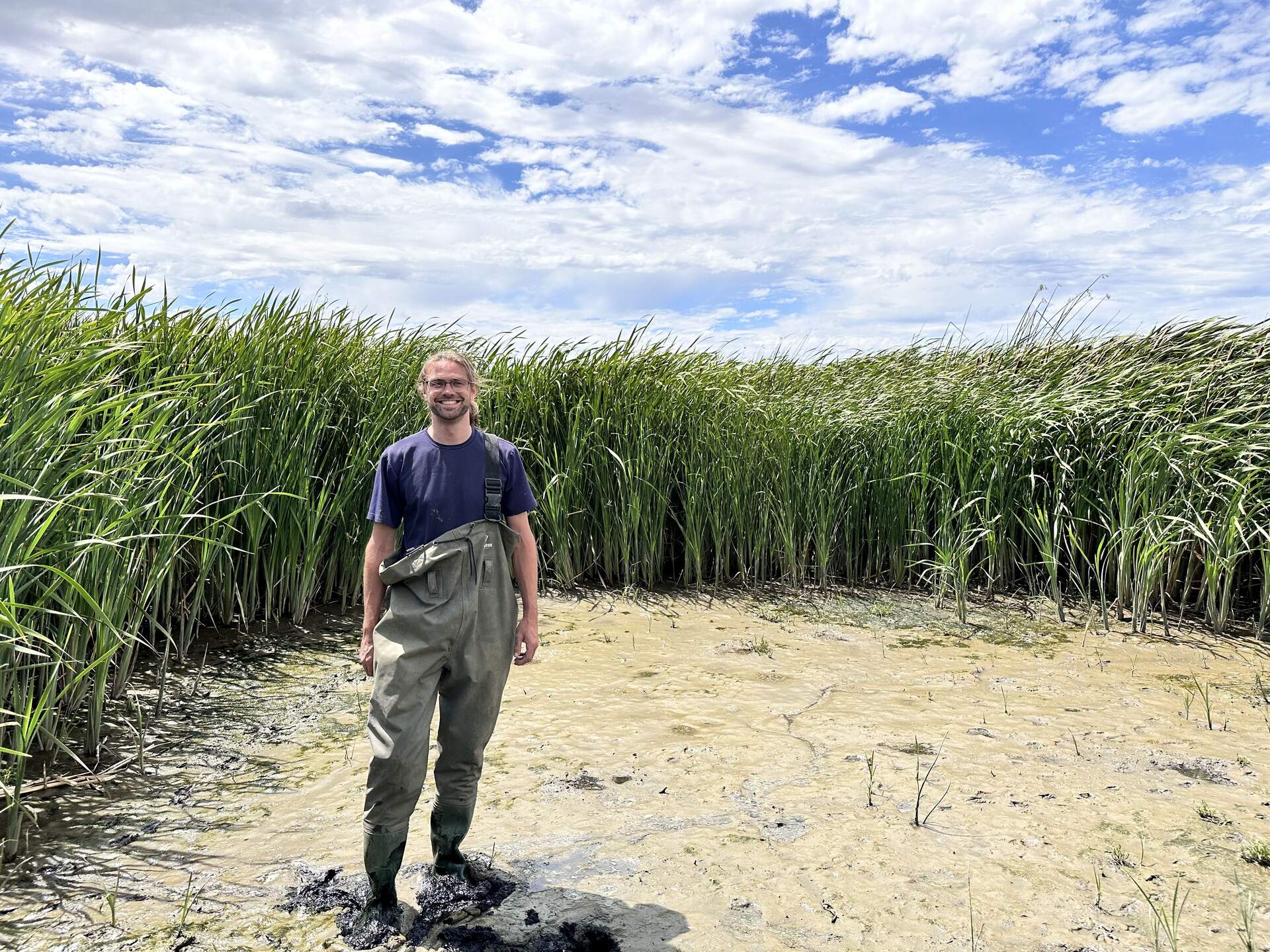
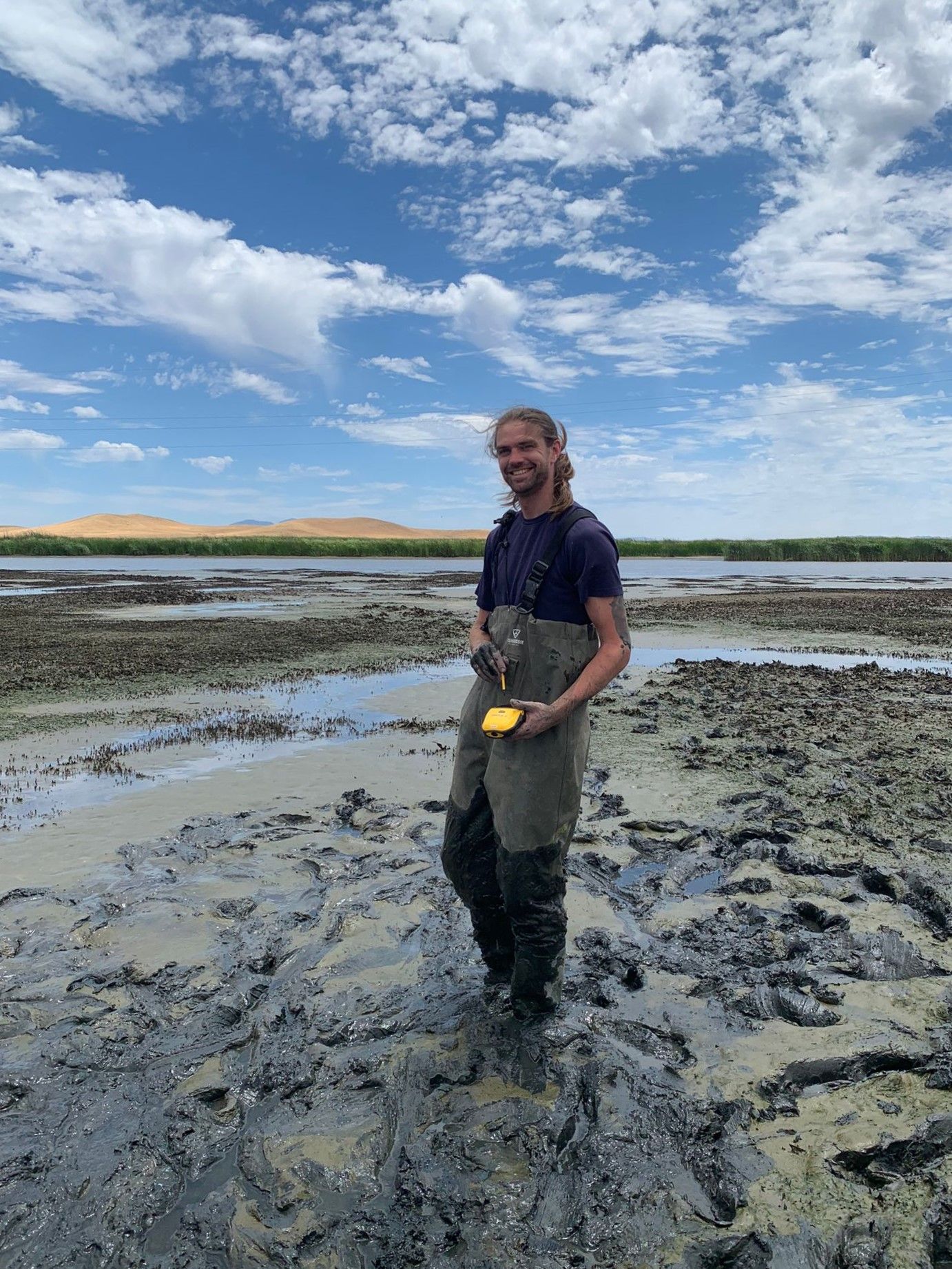
6754 20240625HS_Robert.jpg (2024-06-25 14:45:37 ) Full size: 1920x1440
Robert modeling our newest waders which already have a broken clip
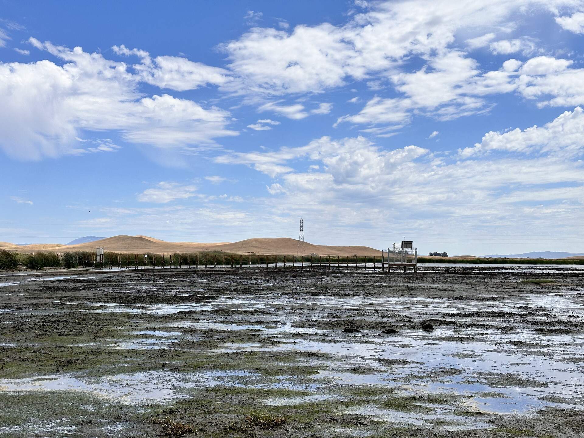
6751 20240625HS_Boardwalk.jpg (2024-06-25 14:47:07 ) Full size: 1920x1440
The boardwalk and tower at low tide
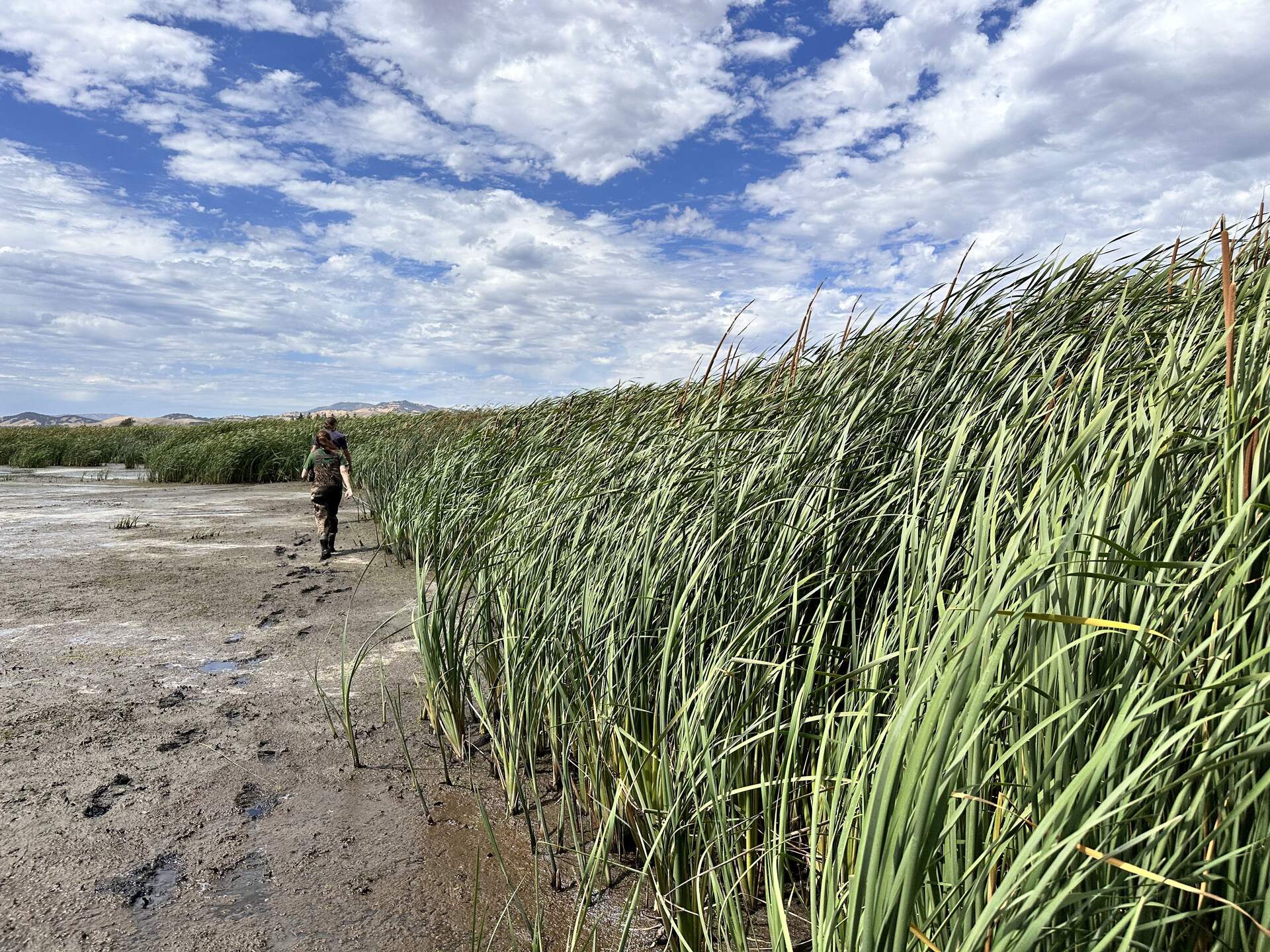
6756 20240625HS_Trekking.jpg (2024-06-25 14:47:47 ) Full size: 1920x1440
Robert and Irene trekking into the wetland. We are trying to relocate HSM_8 to take its GPS point. Either we did not find the exact point, or we could not find the tall, thin, green garden stake we used to mark the location. So the garden stake is still in there somewhere.
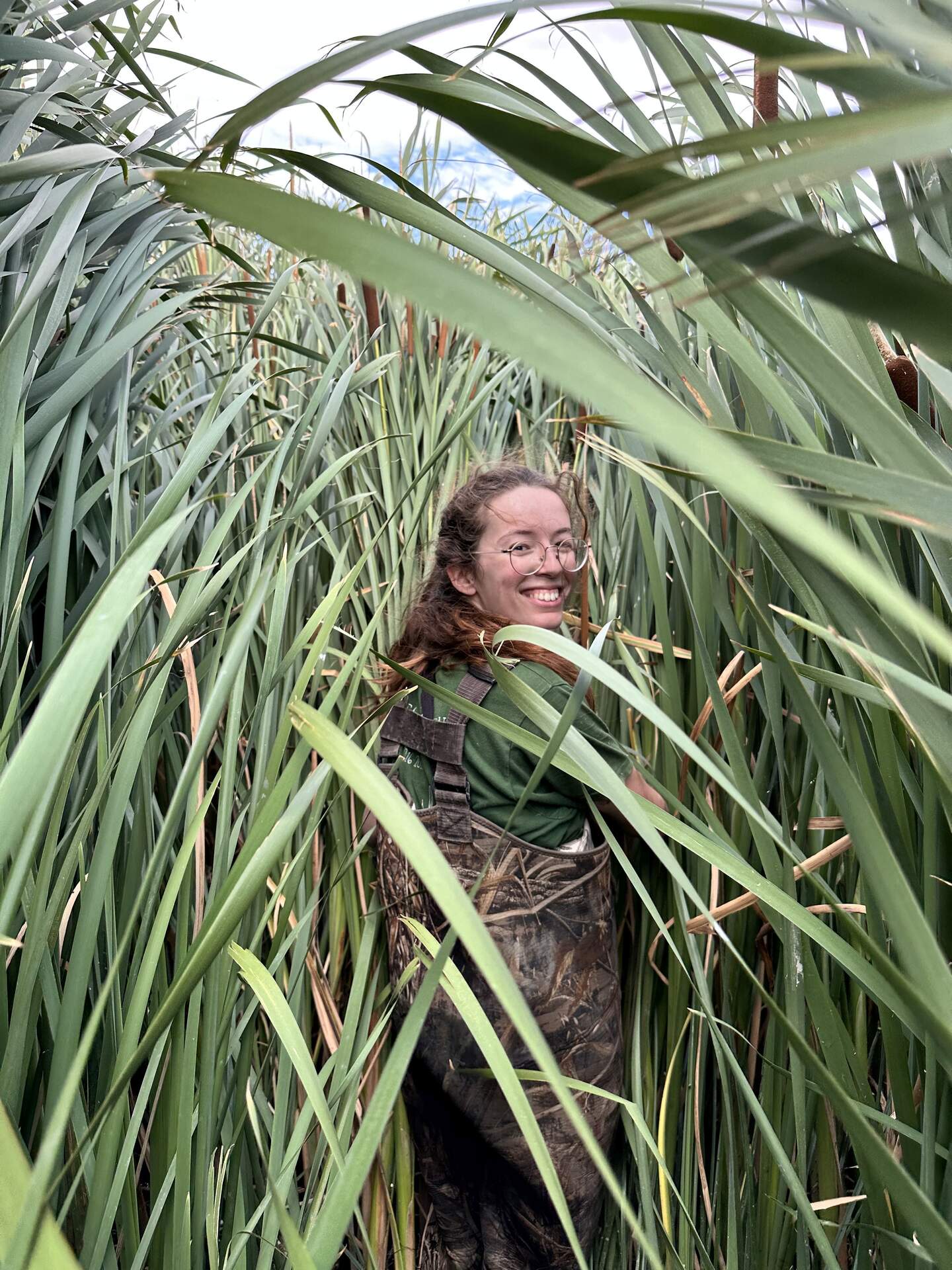
6753 20240625HS_Irene.jpg (2024-06-25 14:49:54 ) Full size: 1440x1920
Irene among the cattails. We are trying to relocate HSM_8 to take its GPS point.
6746 20240626HS_Irene.jpg (2024-06-26 11:33:08 ) Full size: 1920x1440
A tiny Irene taking the GPS point at HSM_1
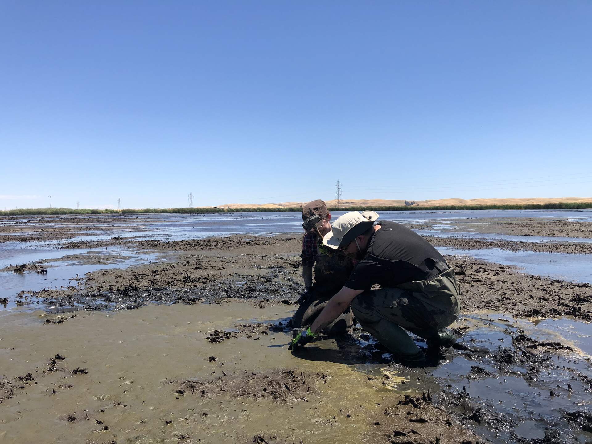
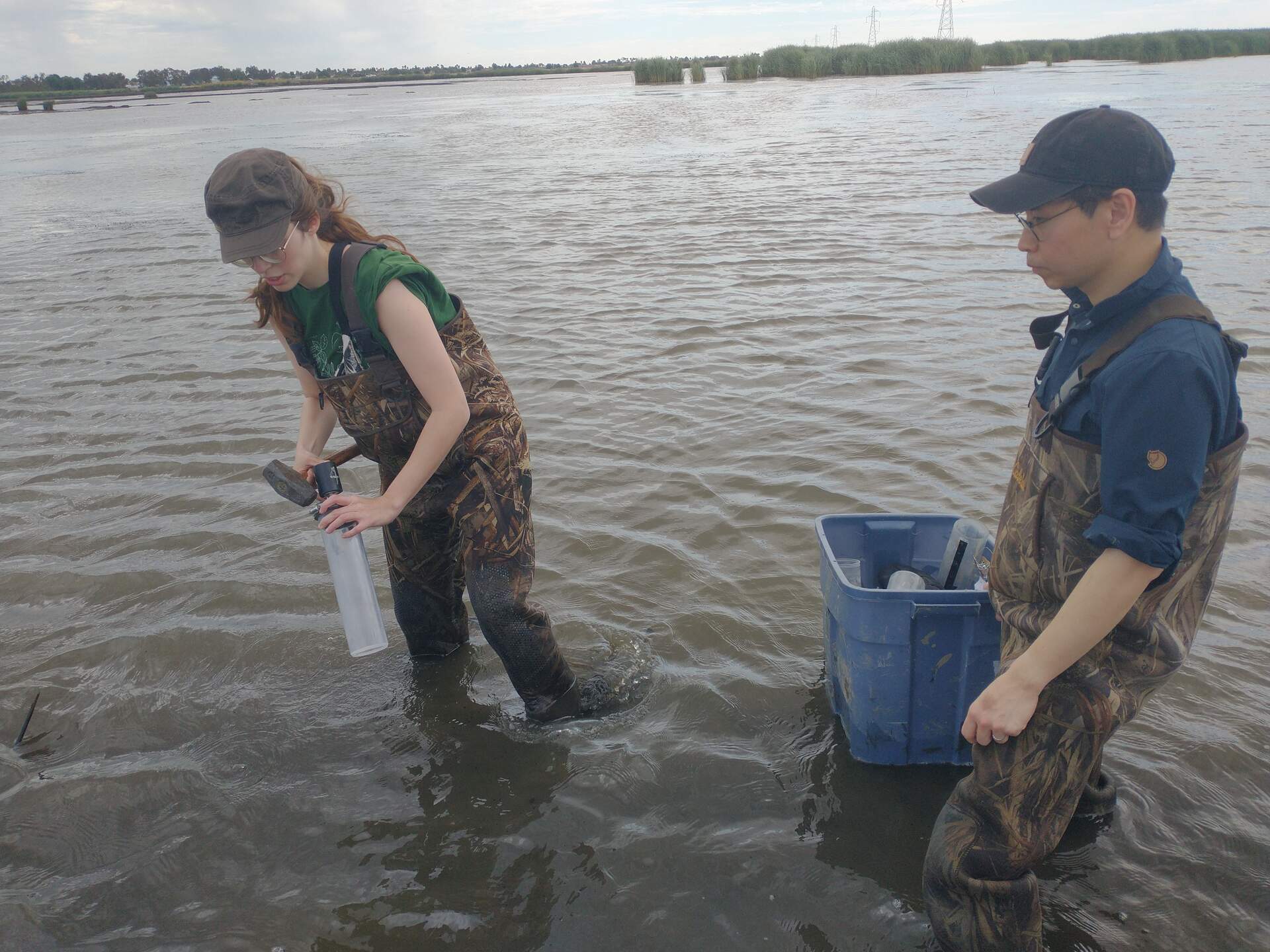
6744 20240626HS_Hsm2.jpg (2024-06-26 13:47:57 ) Full size: 1920x1440
Irene and Eddie taking a core at HSM_2
6745 20240626HS_Hsm2Irene.jpg (2024-06-26 13:48:33 ) Full size: 1920x1440
Wetland Barbie: Her job is just wetland
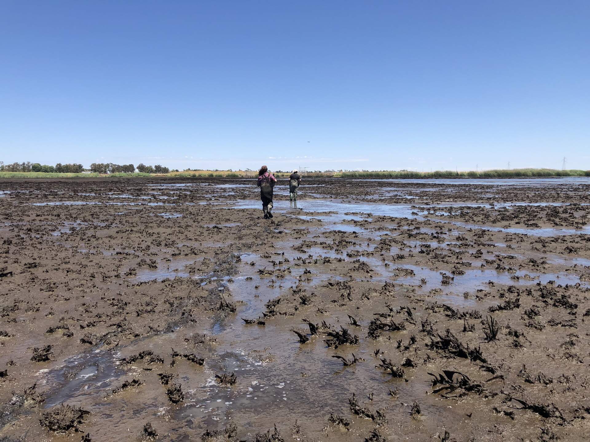
6747 20240626HS_MuddyStroll.jpg (2024-06-26 14:08:00 ) Full size: 1920x1440
Irene and Eddie walking from HSM_2 back toward the tower
Page: [1]