
Biomet Gallery
All Photos | Site Cam Gallery | Key words
Large Photos
Page: [1]
| ID | Name | Location | Date | Size | Camera | Thumb |
|---|---|---|---|---|---|---|
| 1661 | 20090715TW_NewTowerLocation2.jpg View upwind into the rice field from the proposed location for the eddy tower |
Twitchell Rice | 2009-07-15 14:09:59 | 2048x1536 | Canon PowerShot S1 IS | 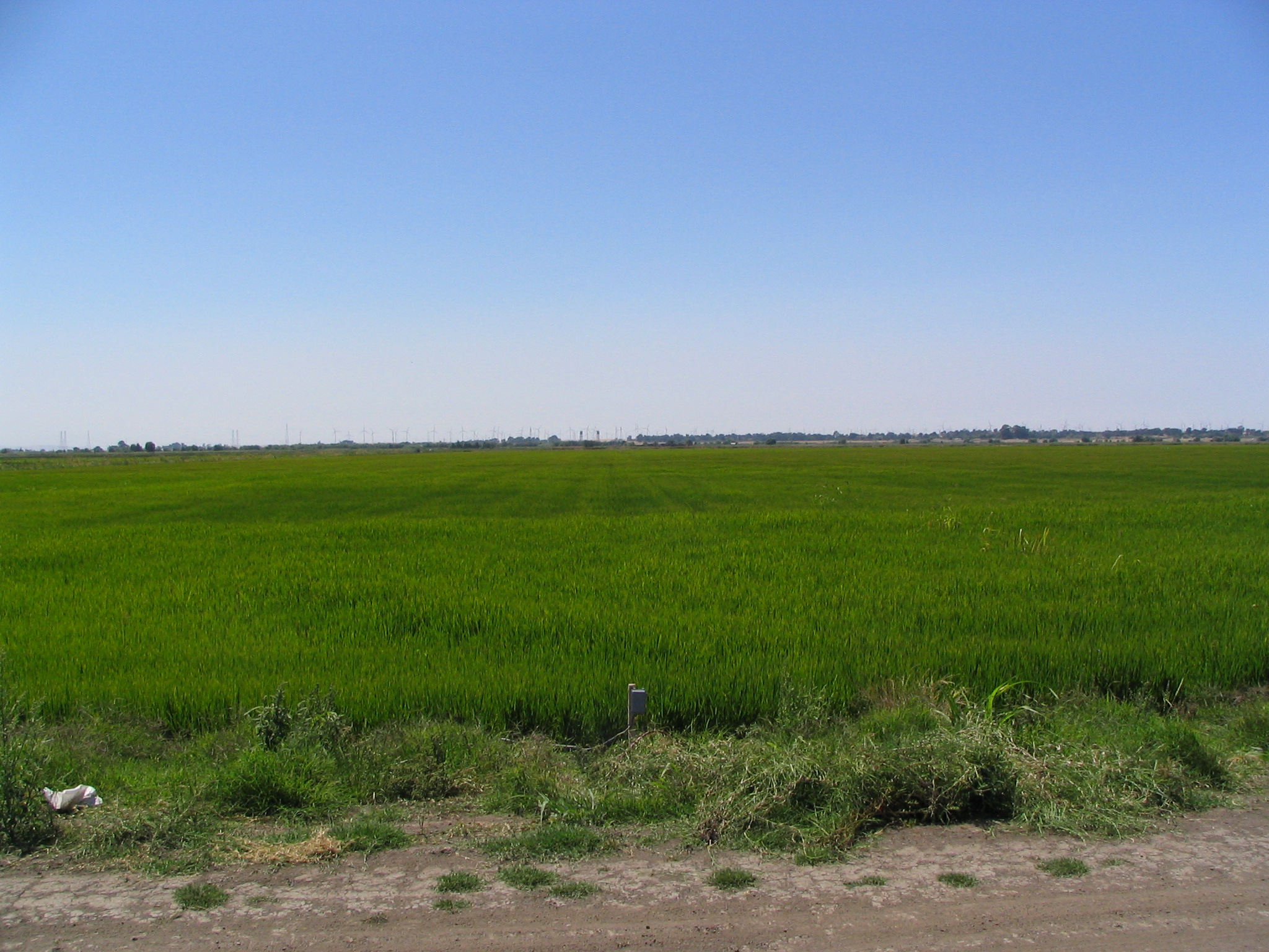 |
| 1668 | 20090731TW_DustClouds1.jpg Dust clouds upwind from the rice paddy |
Twitchell Rice | 2009-07-31 14:00:35 | 2048x1536 | Canon PowerShot S1 IS |  |
| 1669 | 20090731TW_DustClouds2.jpg Dust clouds upwind from the rice paddy and Mt Diable |
Twitchell Rice | 2009-07-31 14:01:34 | 2048x1536 | Canon PowerShot S1 IS | 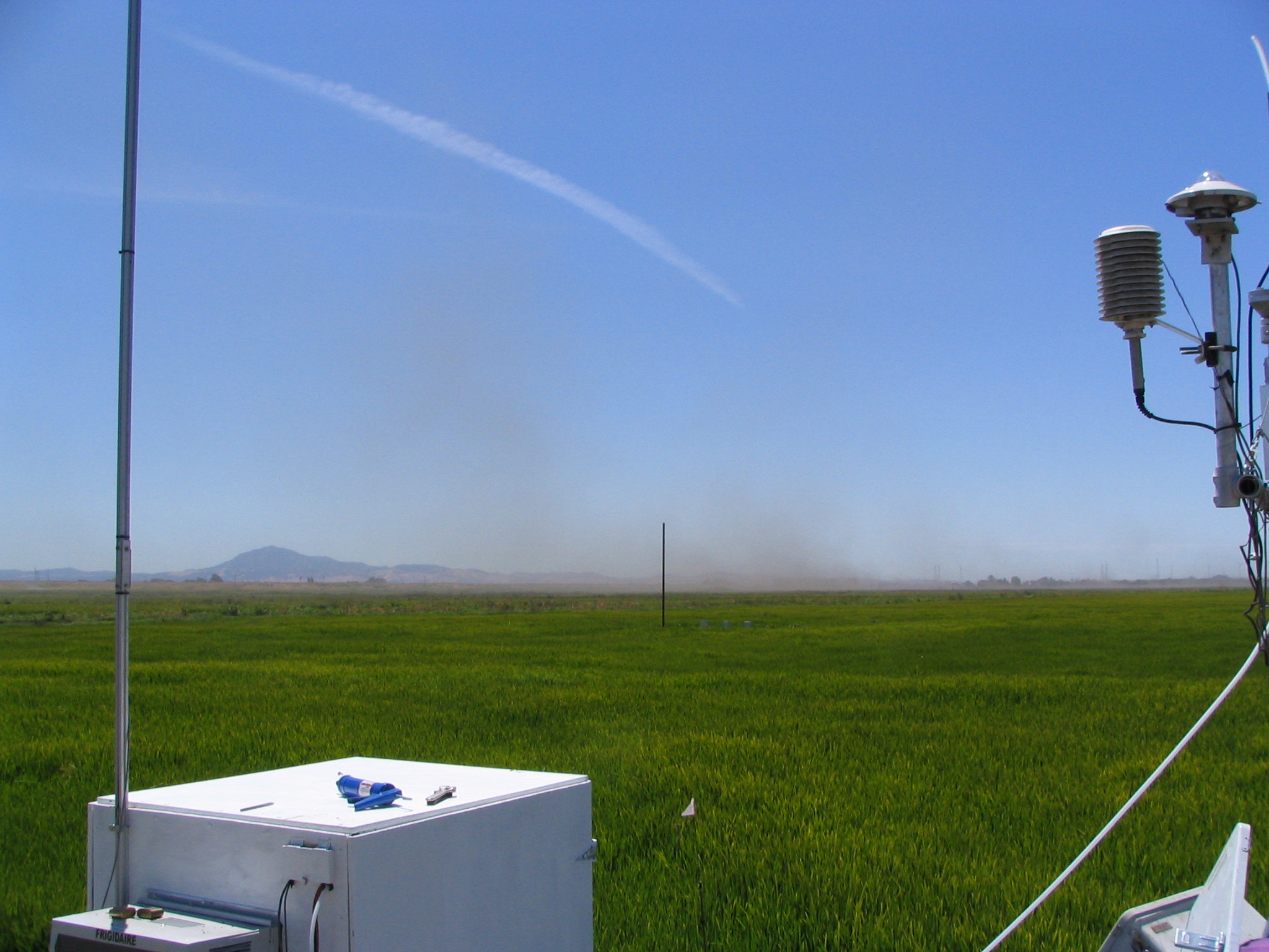 |
| 1677 | 20090825TW_DustClouds.jpg Dust clouds upwind from the rice paddy |
Twitchell Rice | 2009-08-25 12:43:38 | 2048x1536 | Canon PowerShot S1 IS | 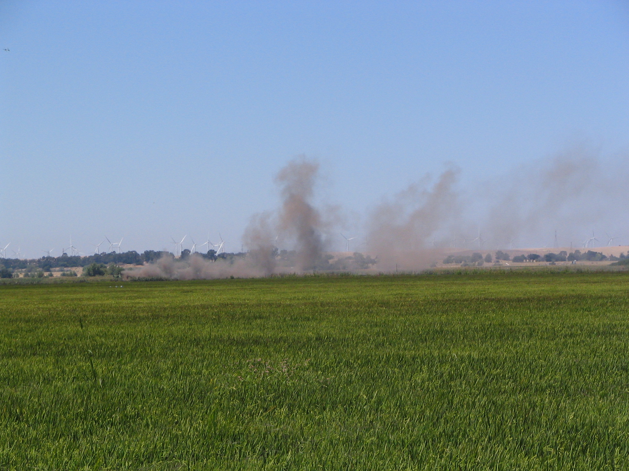 |
| 284 | 20100901MF_Loc1Upwind.jpg View upwind from airport test tower |
Moffett Field | 2010-09-01 11:41:01 | 4000x3000 | Canon PowerShot SX200 IS | 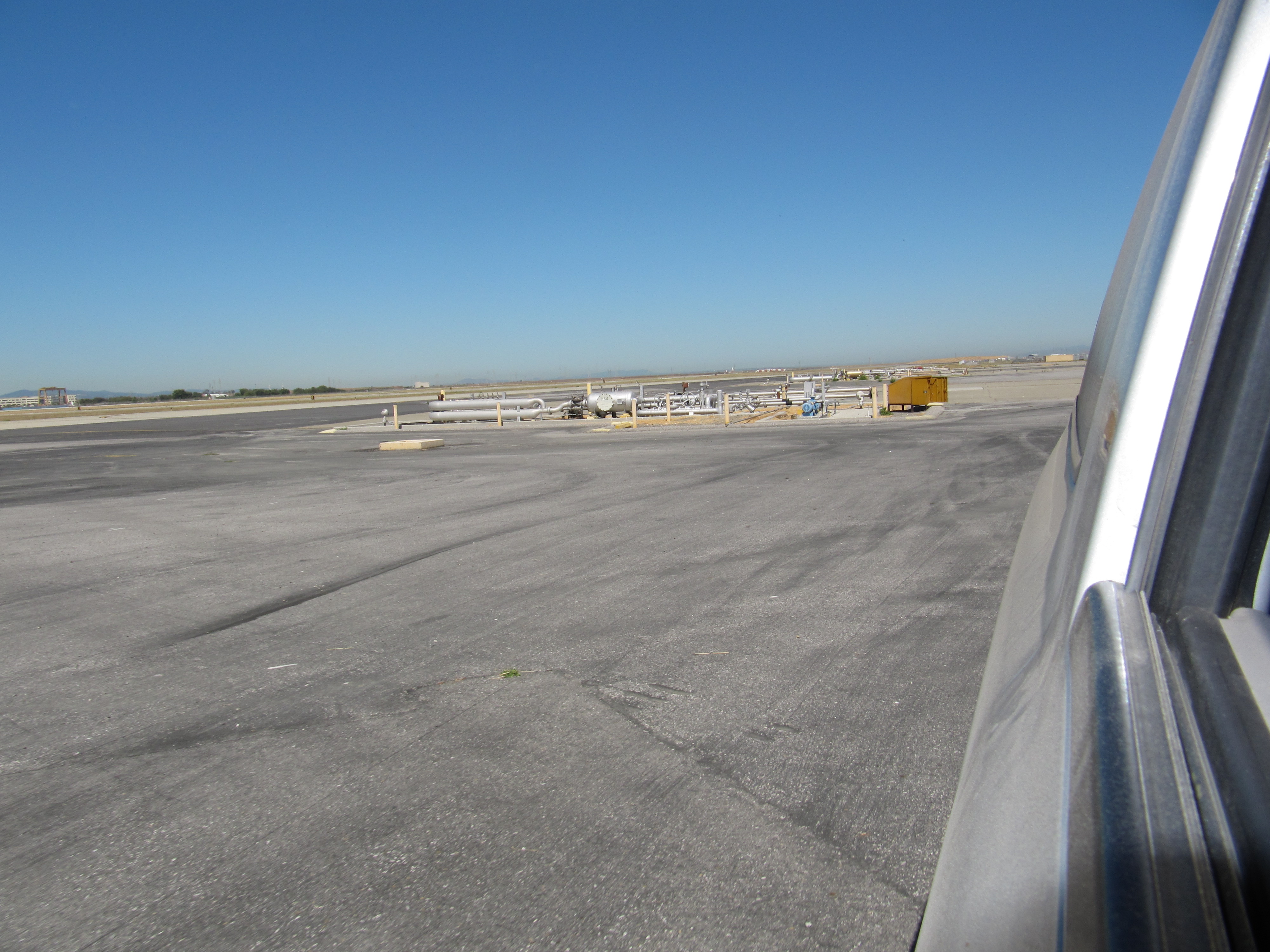 |
| 274 | 20100901MF_Loc1Upwind2.jpg View upwind from airport test tower |
Moffett Field | 2010-09-01 11:48:54 | 4000x3000 | Canon PowerShot SX200 IS | 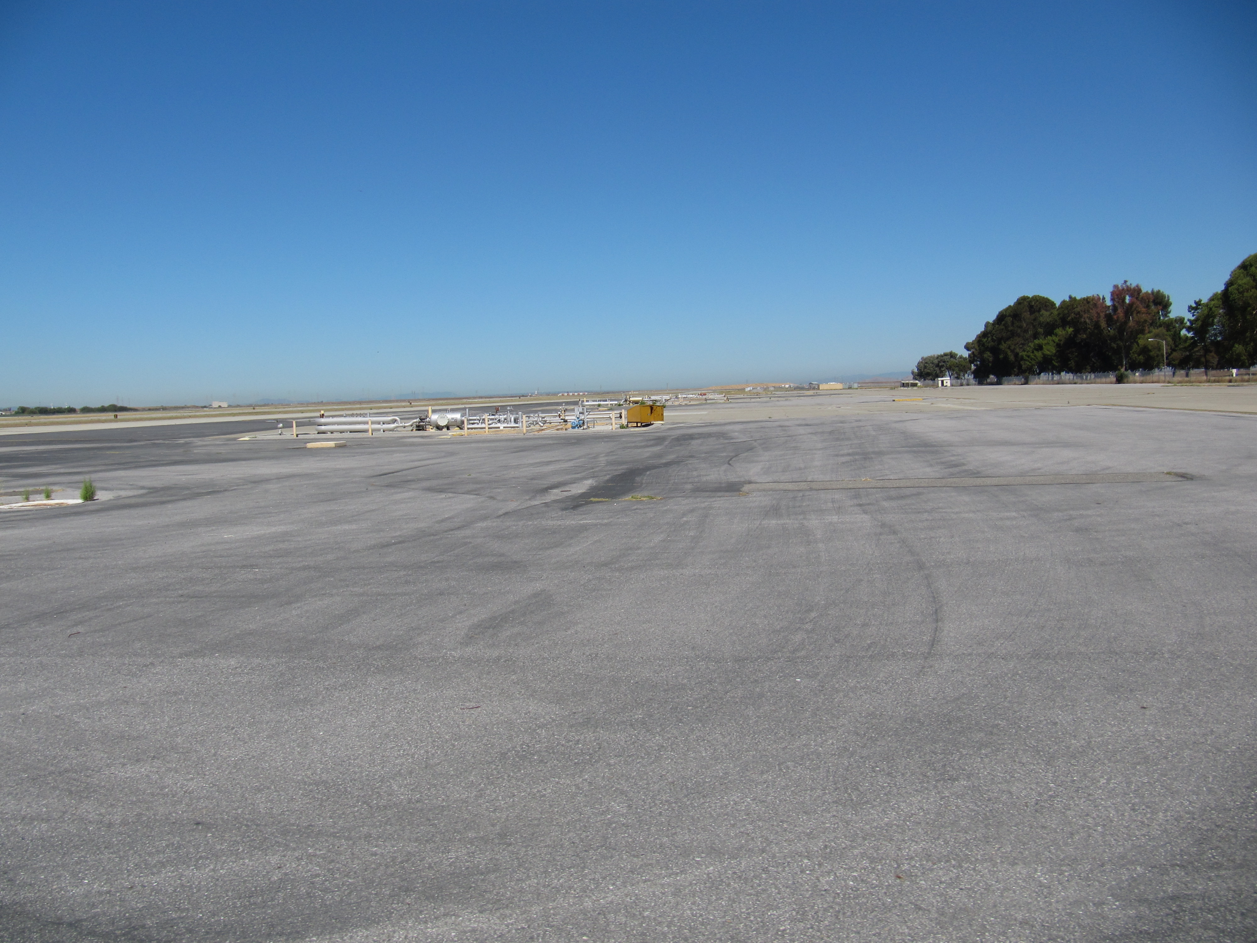 |
| 273 | 20100901MF_Loc1Upwind3.jpg View upwind from airport test tower |
Moffett Field | 2010-09-01 11:49:15 | 4000x3000 | Canon PowerShot SX200 IS | 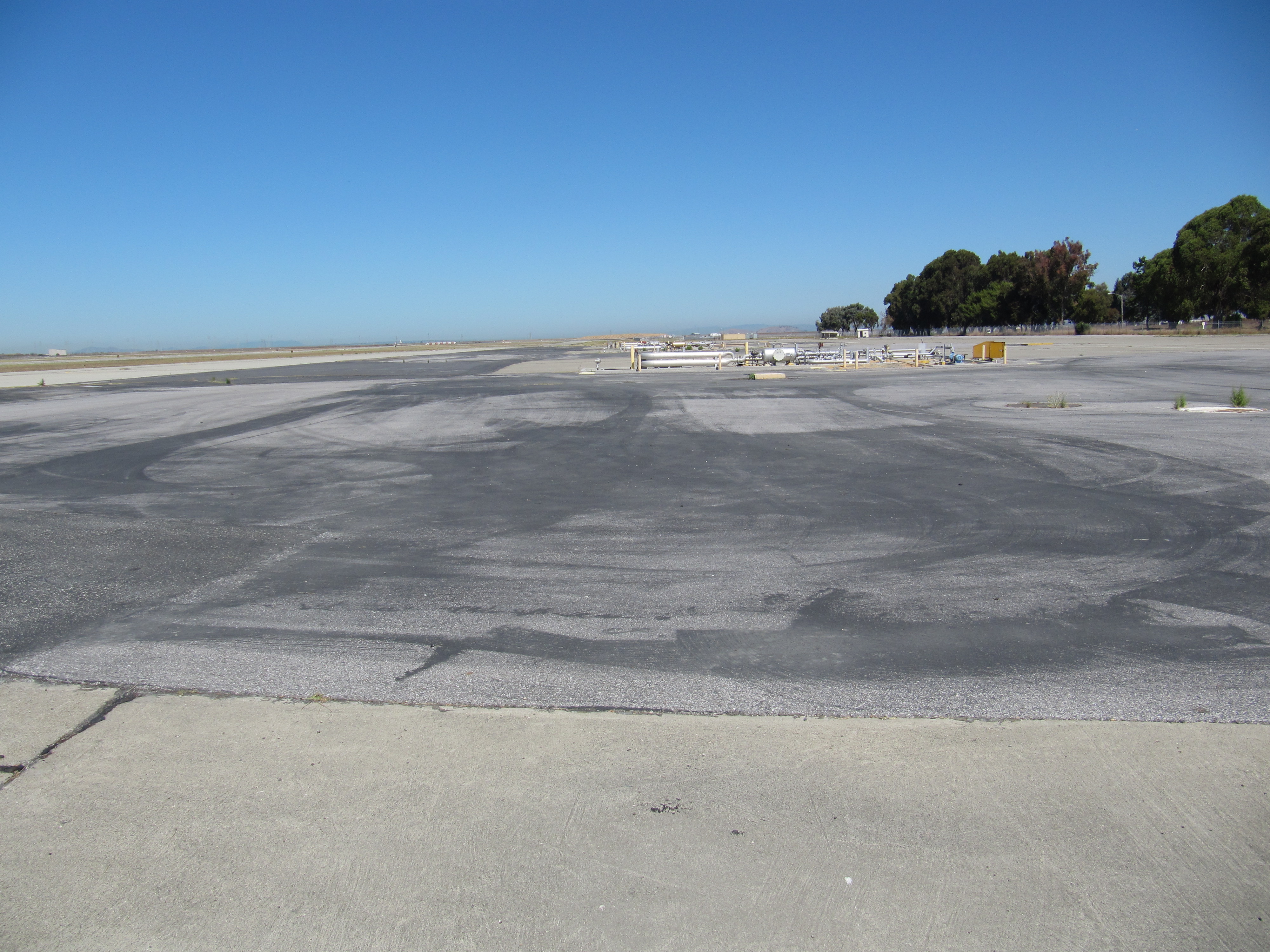 |
| 319 | 20100923MF_TowerAndUpwind1.jpg Eddy tower on runway apron looking upwind |
Moffett Field | 2010-09-23 15:26:10 | 3648x2736 | Canon PowerShot A480 | 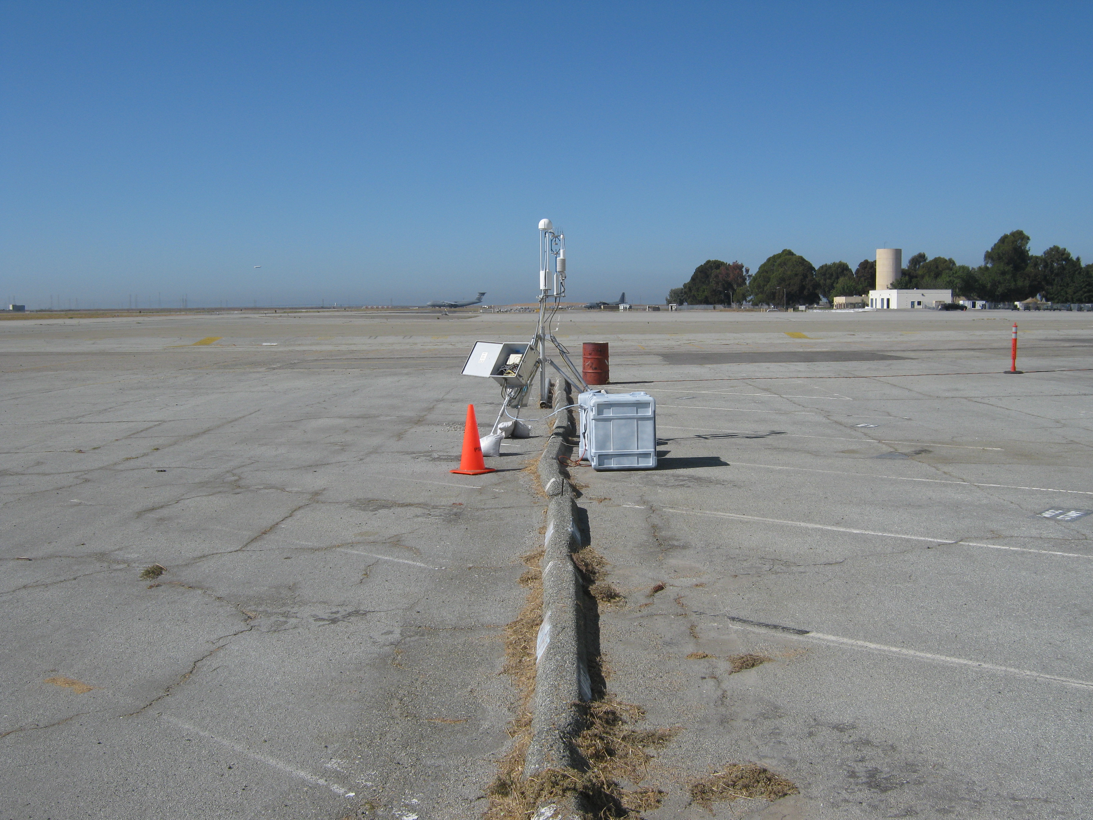 |
| 320 | 20100923MF_TowerAndUpwind2.jpg long shot of eddy tower on runway apron looking upwind |
Moffett Field | 2010-09-23 15:26:47 | 3648x2736 | Canon PowerShot A480 | 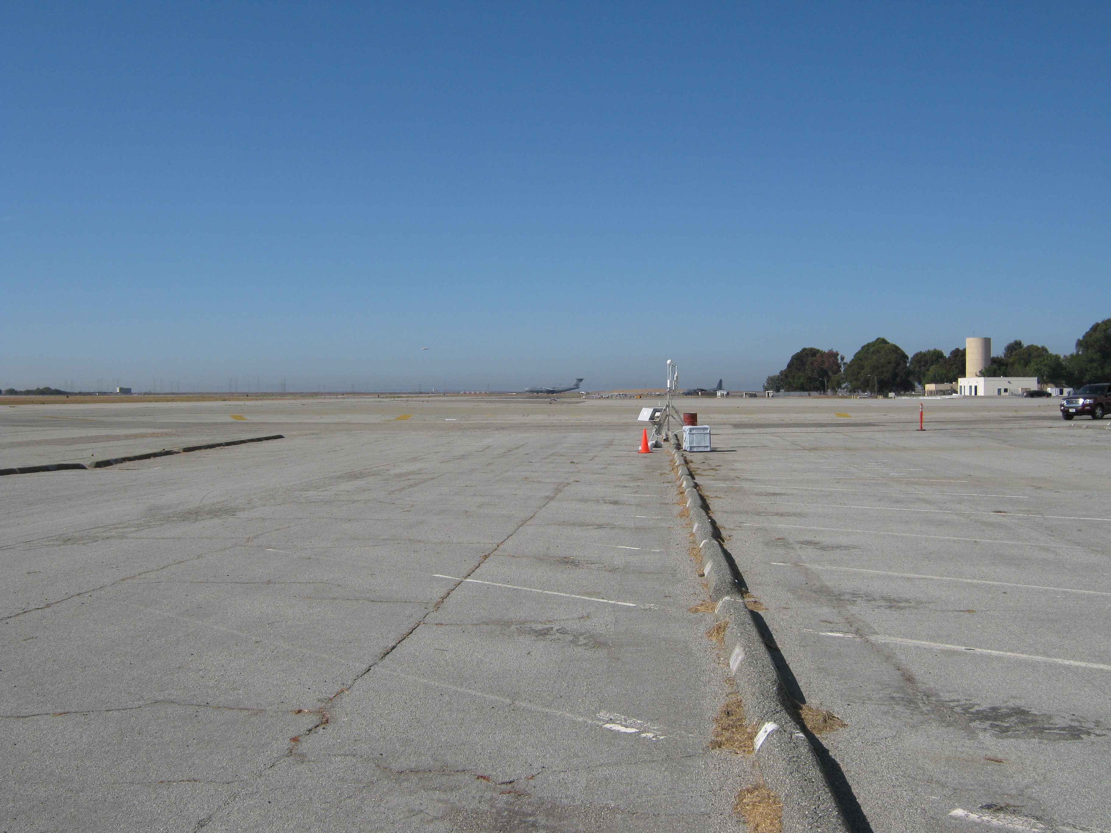 |
| 387 | 20100929MF_FuelTruckUpwind.jpg Fuel truck in the Moffett apron |
Moffett Field | 2010-09-29 12:35:05 | 3648x2736 | Canon PowerShot A480 | 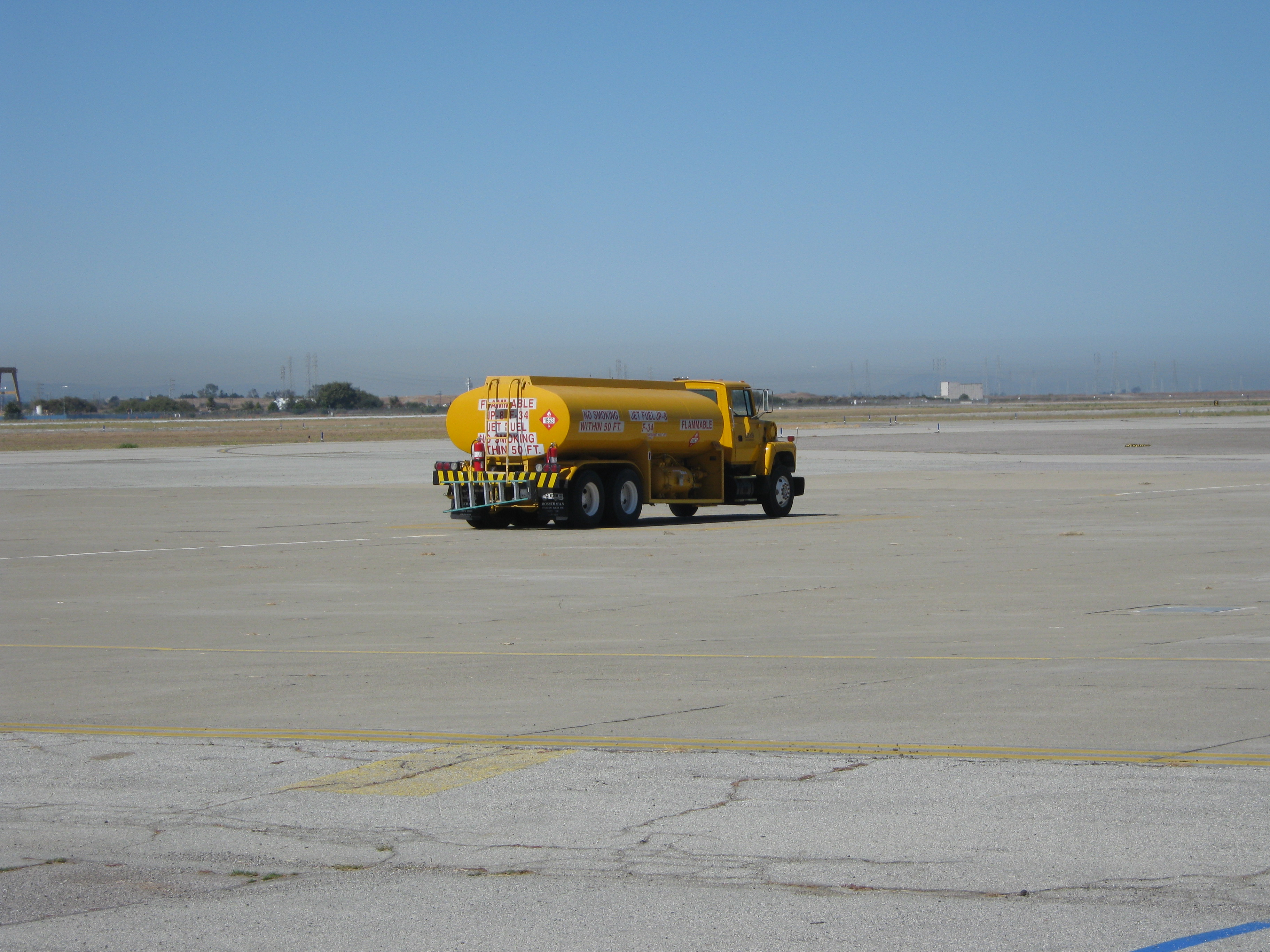 |
| 448 | 20101021MB_TulesUpwind.jpg Existing tule patches to the northwest |
Mayberry | 2010-10-21 10:05:29 | 3648x2736 | Canon PowerShot A480 |  |
| 1832 | 20111027SI_Cows.jpg Cows far upwind from the tower site |
Sherman Island | 2011-10-27 11:43:54 | 2048x1536 | COOLPIX S9100 | 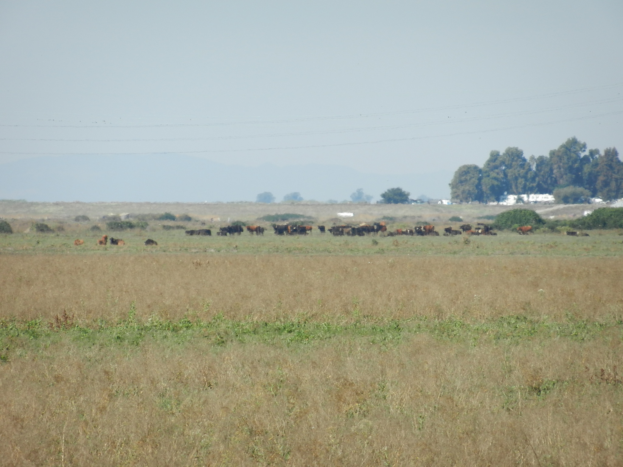 |
| 2526 | 20120502WP_Footprint.jpg Footprint is mostly brown right by the tower, with some greener patches farther upwind |
West Pond | 2012-05-02 14:48:38 | 4000x3000 | COOLPIX S9100 | 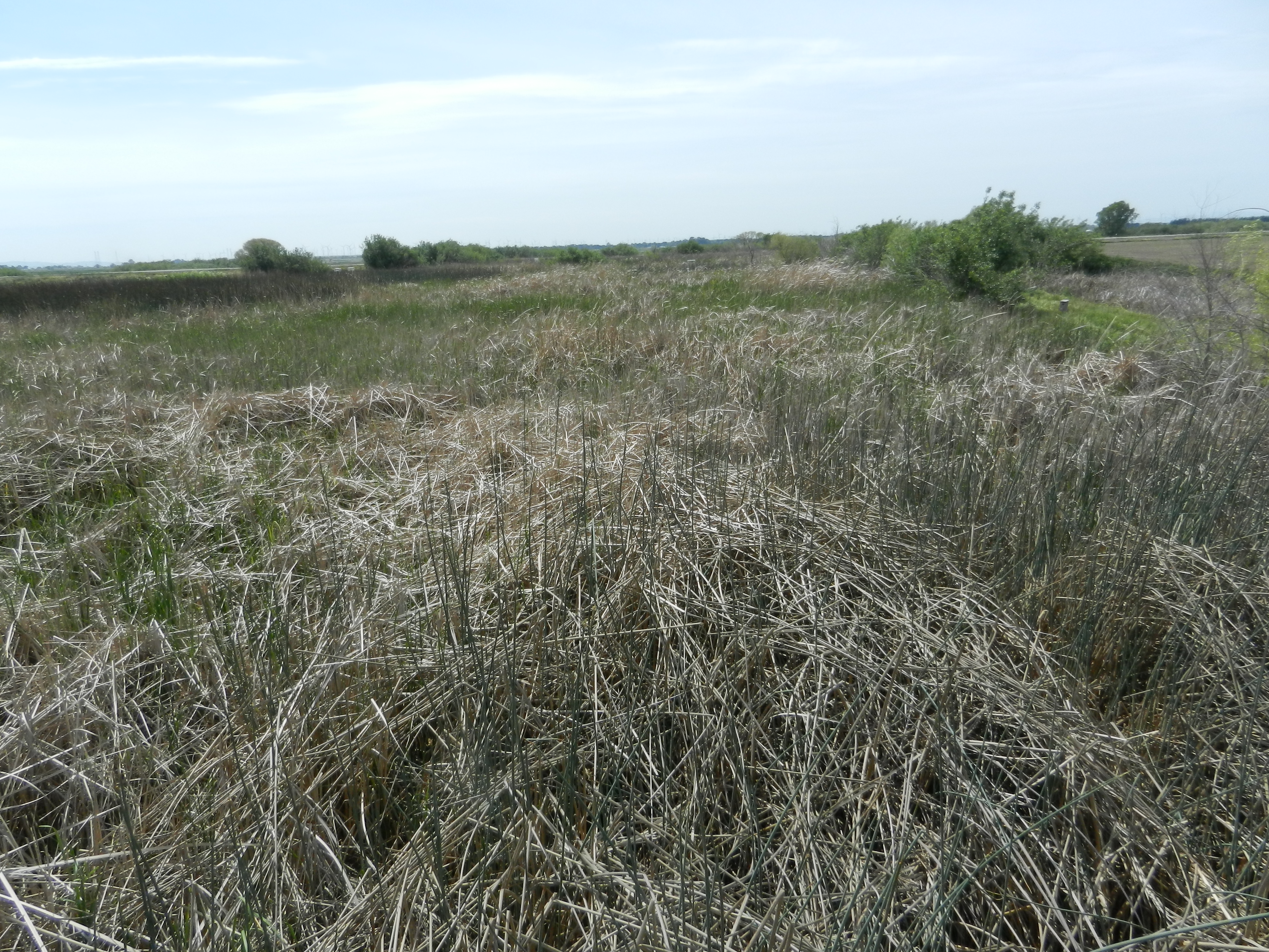 |
| 2545 | 20120517DC_ScaffoldingUpwind.jpg Scaffolding and truck at new corn site |
DWR Corn | 2012-05-17 14:40:15 | 4000x3000 | COOLPIX S9100 |  |
| 3739 | 20131125EE_EddyUpwindFootprint.jpg Eddy sensors above a soon-to-be wetland |
East End | 2013-11-25 13:23:12 | 1920x1440 | iPhone 4S |  |
| 3844 | SI_autocam_20140122_1545.jpg Fire upwind |
Sherman Island | 2014-01-22 15:45:02 | 1920x1440 | Canon PowerShot A480 | 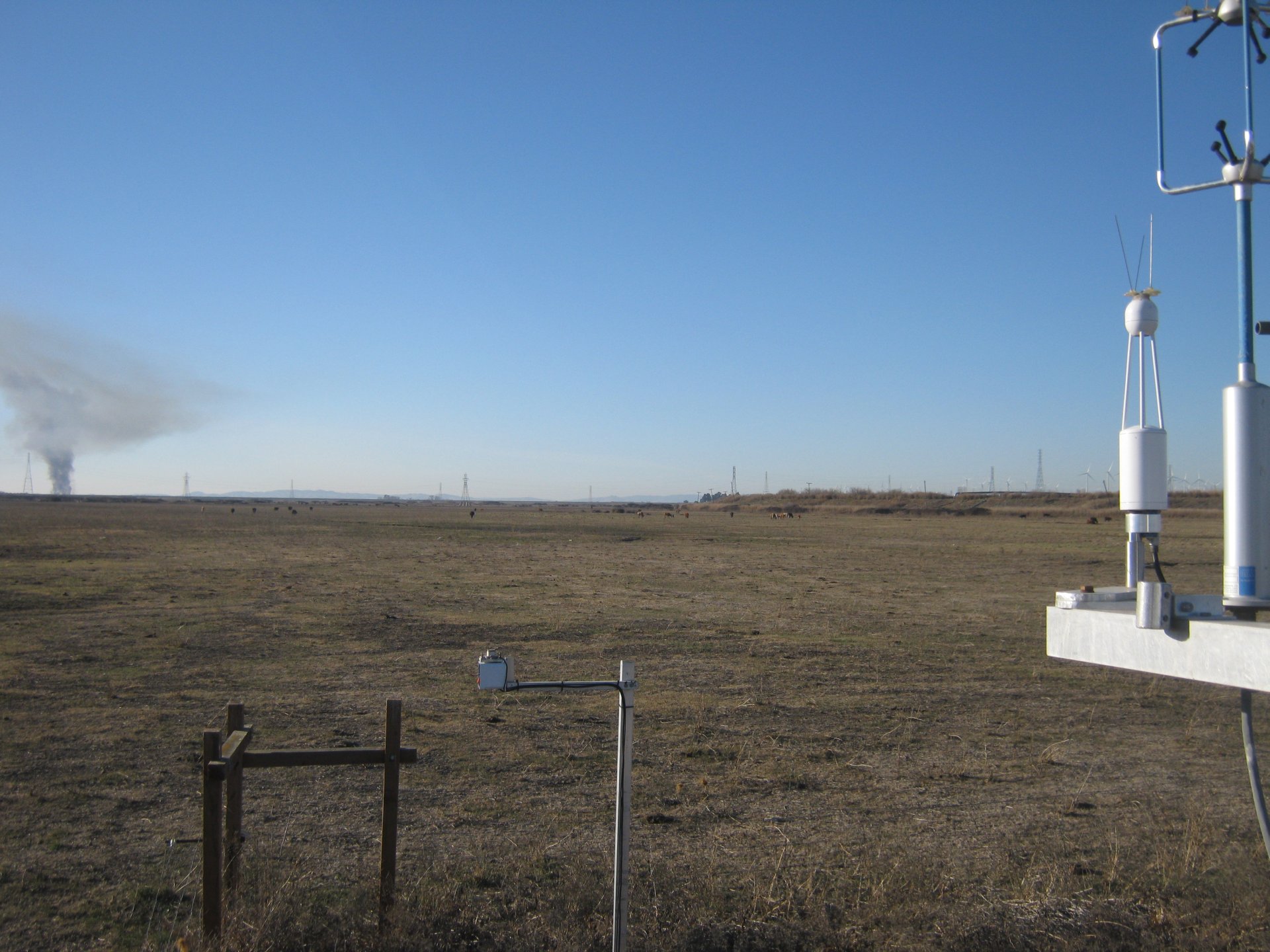 |
| 5181 | 20200206SW_SWTempTower.JPG Temporary tower set up at Sherman Wetland, 1250m upwind of the permanent tower. |
Sherman Wetland | 2020-02-06 11:39:10 | 1920x1440 | iPhone SE | 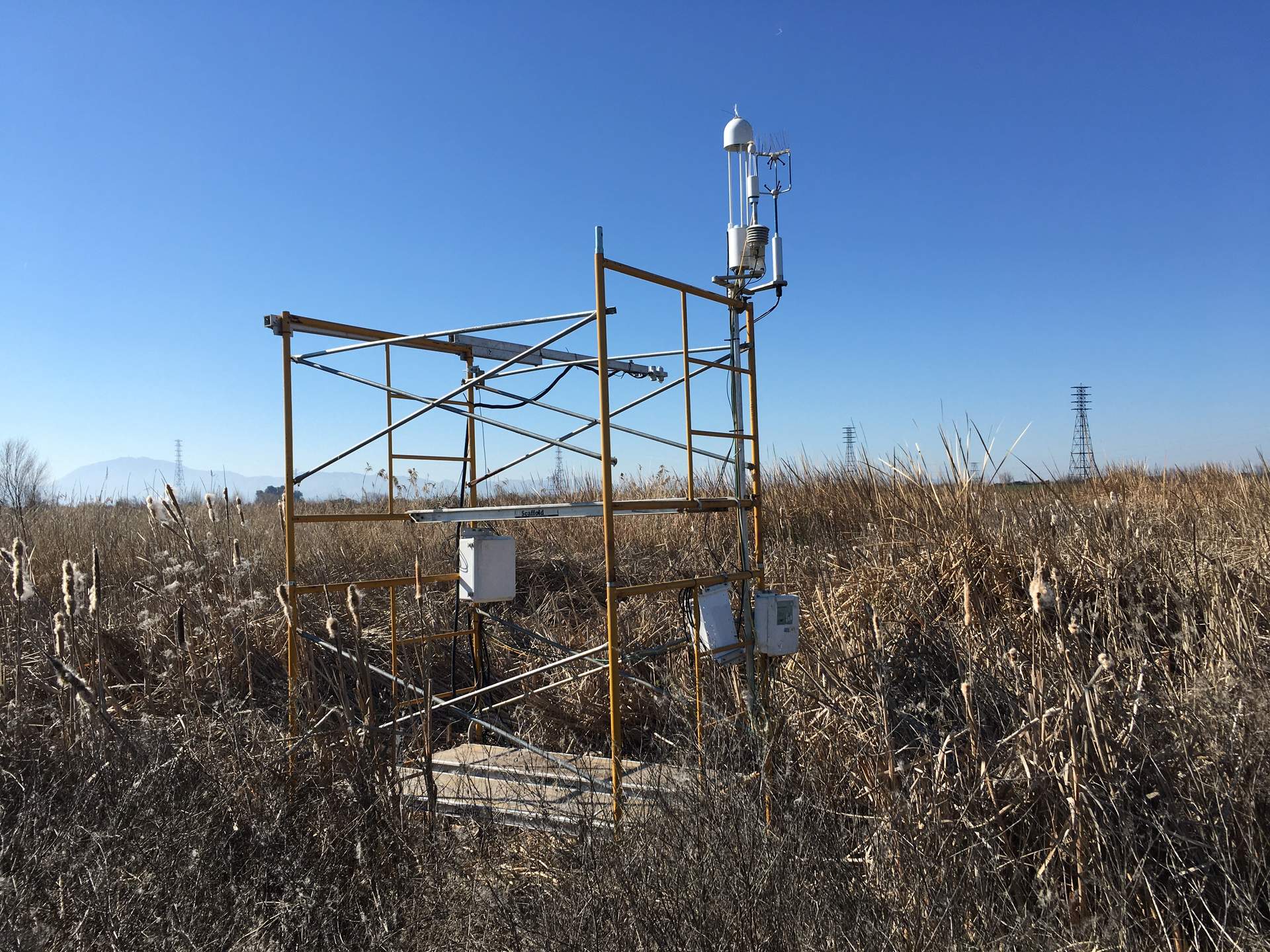 |
| 5182 | 20200206SW_TempTowerSolar.JPG Temporary tower solar panel set up at Sherman Wetland, 1250m upwind of the permanent tower. |
Sherman Wetland | 2020-02-06 11:39:16 | 1440x1920 | iPhone SE | 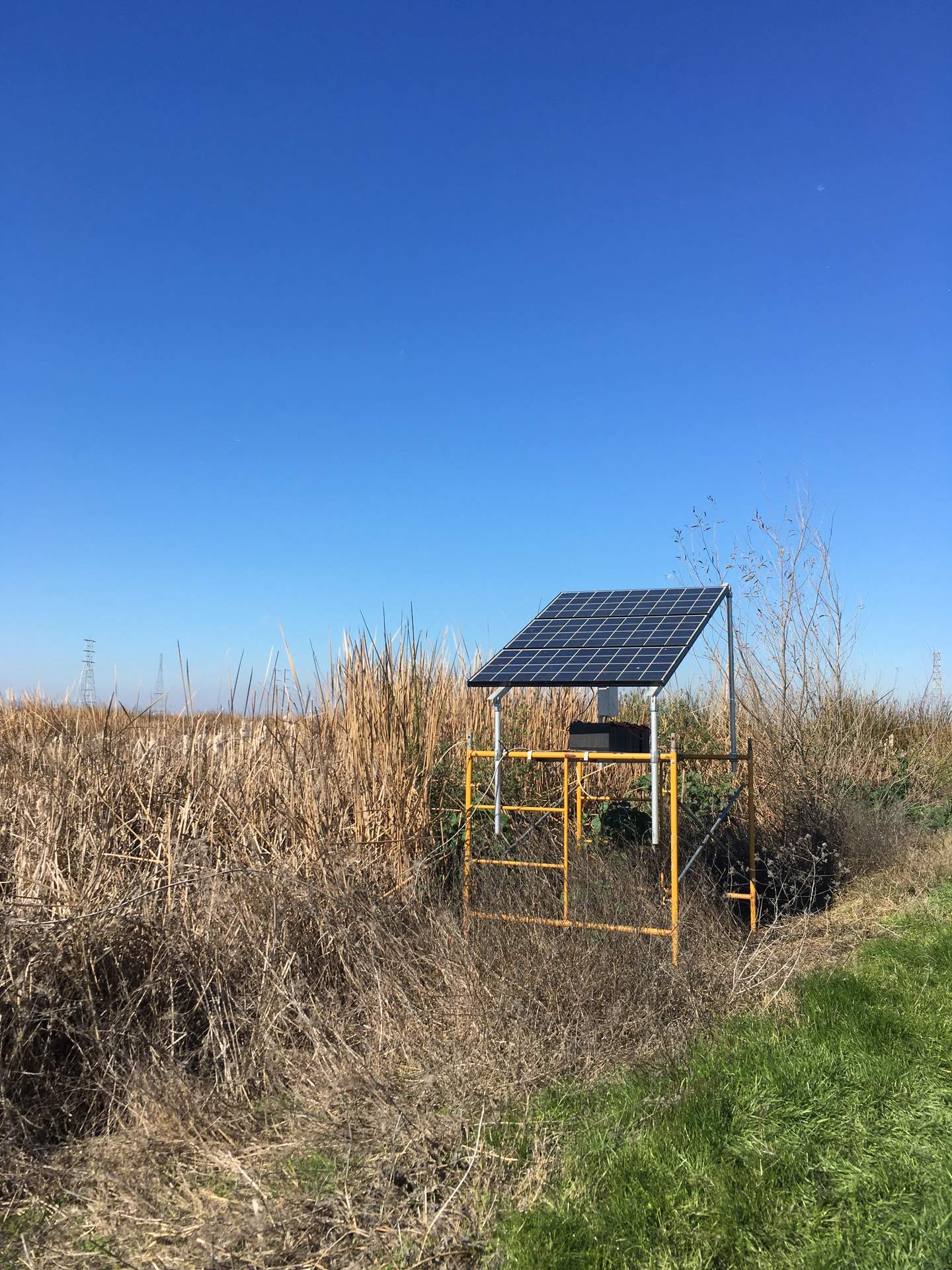 |
| 5284 | 20200616SB_WetlandConstruction.jpg Wetland construction is continuing directly upwind |
Sherman Barn | 2020-06-16 00:00:00 | 1920x1155 | iPhone SE |  |
| 5892 | bouldinalfalfa_2022_05_02_104506.jpg Clouds of dust upwind |
Bouldin Alfalfa | 2022-05-02 11:46:28 | 1296x960 | StarDot NetCam SC |  |
| 5896 | bouldinalfalfa_2022_05_08_121505.jpg Clouds of dust upwind |
Bouldin Alfalfa | 2022-05-08 13:16:52 | 1296x960 | StarDot NetCam SC |  |
| 5915 | bouldinalfalfa_2022_05_08_124506.jpg Clouds of dust upwind |
Bouldin Alfalfa | 2022-05-08 13:46:52 | 1296x960 | StarDot NetCam SC | 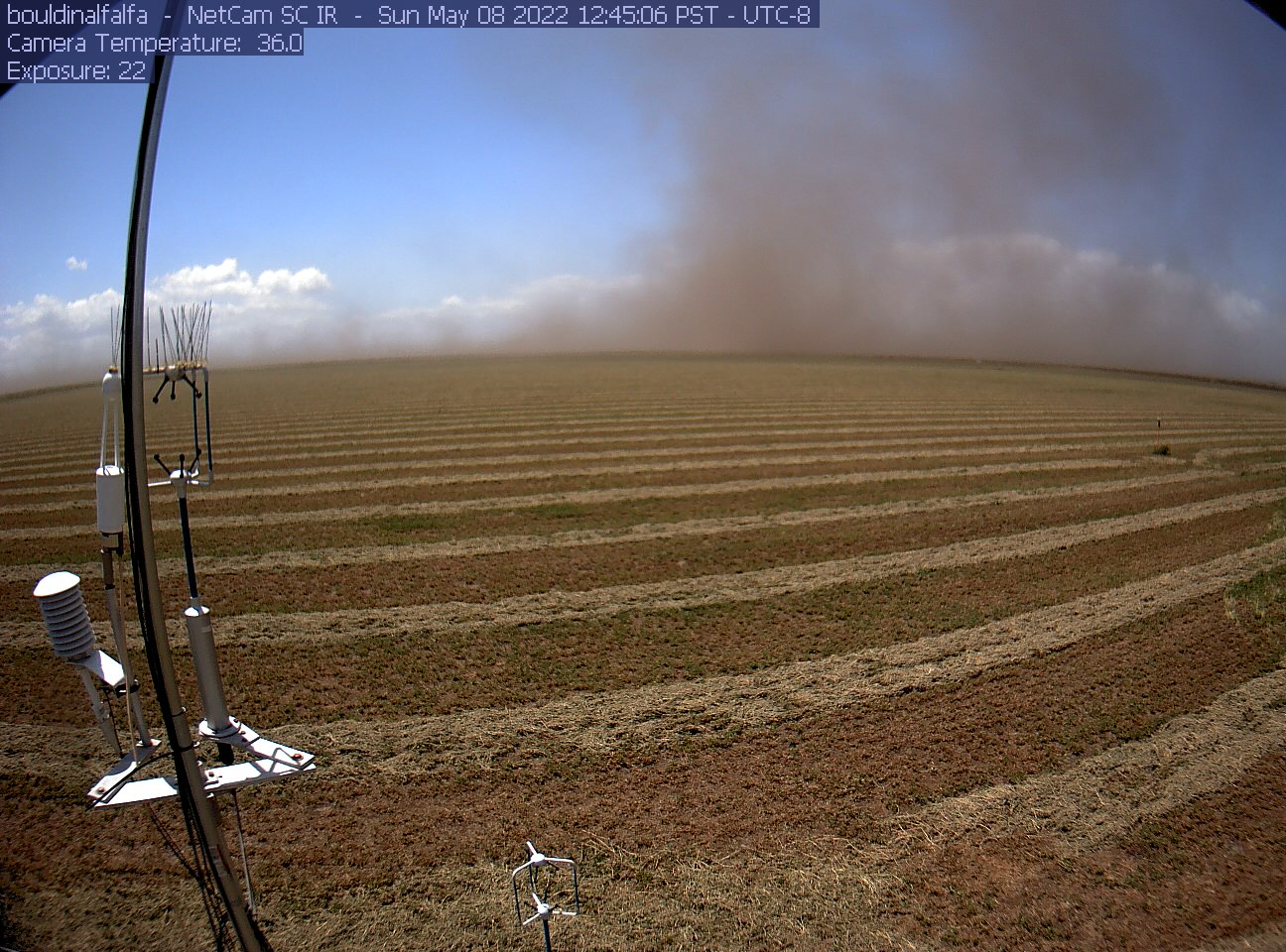 |
| 6832 | 20241105EE_EddyView.jpg View on the eddy sensors and upwind wetland from the tower top |
East End | 2024-11-05 15:39:00 | 1920x1440 | iPhone SE (2nd generation) | 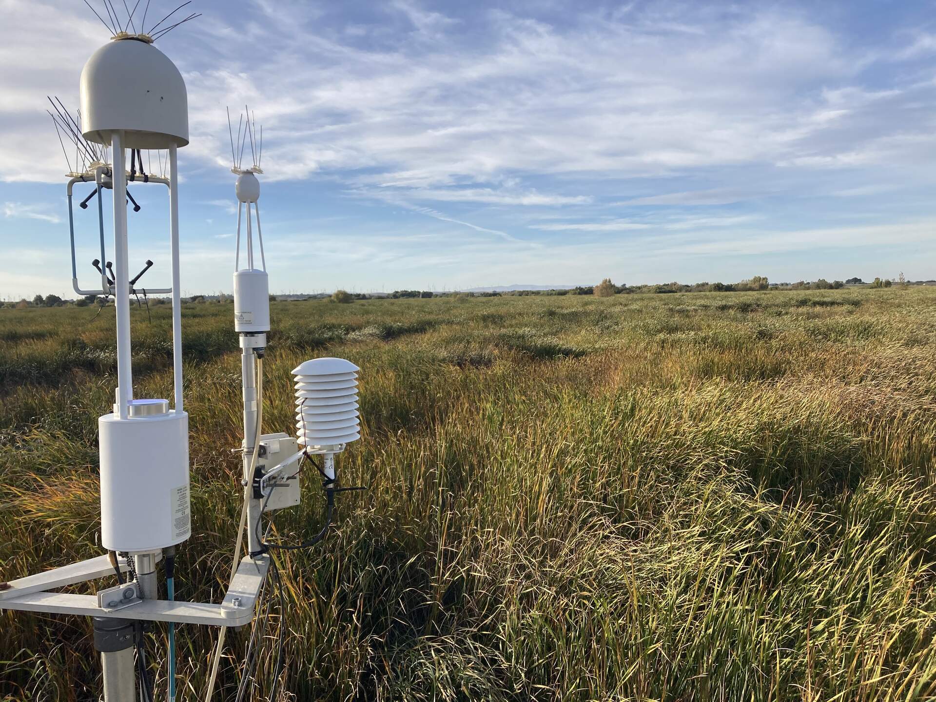 |