Biomet Gallery
All Photos | Site Cam Gallery | Key words
View Details
Page: [1]
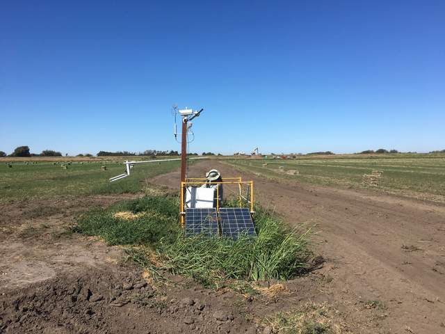
4578 20160929TA_GradingNearTower.jpg (2016-09-29 14:29:28 ) Full size: 1920x1440
They have scrapped the edge of the field next to the tower and filled the ditch with dirt, so the tower is now sitting in a little depression
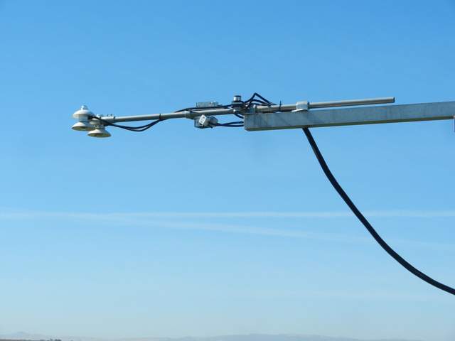
4583 20161006BA_Radiometers.jpg (2016-10-06 11:07:52 ) Full size: 1920x1440
The reflected NDVI/PRI sensors have a narrow 36 deg field of view, so I tilted them from straight down to 30 deg so they can see a little more of the field than before.
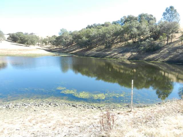
4585 20161020VR_Pond.jpg (2016-10-20 11:49:46 ) Full size: 1920x1440
Large pond northeast of our site. The pond is about 22 feet deep and can hold about 24 acre-feet of water. They need to report their water diversion to the state and we will help by measuring the water depth.
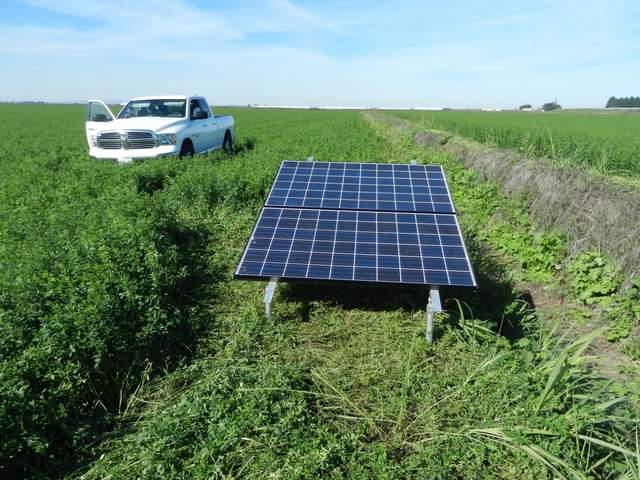
4594 20161103BA_SolarPanels.jpg (2016-11-03 13:38:50 ) Full size: 1920x1440
We moved the solar panels so they now face south along the ditch east of the tower.
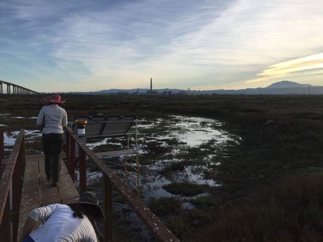
4600 20161108SW_Flooding.jpg (2016-11-08 16:07:39 ) Full size: 1920x1440
Bryan said they had started to flood the wetland about two weeks ago and the water table is slowly coming up. We could see some standing water in the channels and pools around the tower.
5176 20200206BA_YellowPaint.JPG (2020-02-06 15:54:47 ) Full size: 1440x1920
Two strips of yellow paint on the field between the tower and the power box. Joe suspects they're to help tractors navigate around the power cables we have underground.
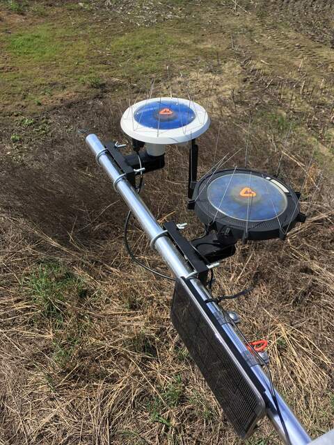
5209 20200417BC_Arable.jpg (2020-04-17 11:13:44 ) Full size: 1440x1920
New Mark2 Arable unit installed next to Arable Mark. They are currently overlooking a weedy corn field.
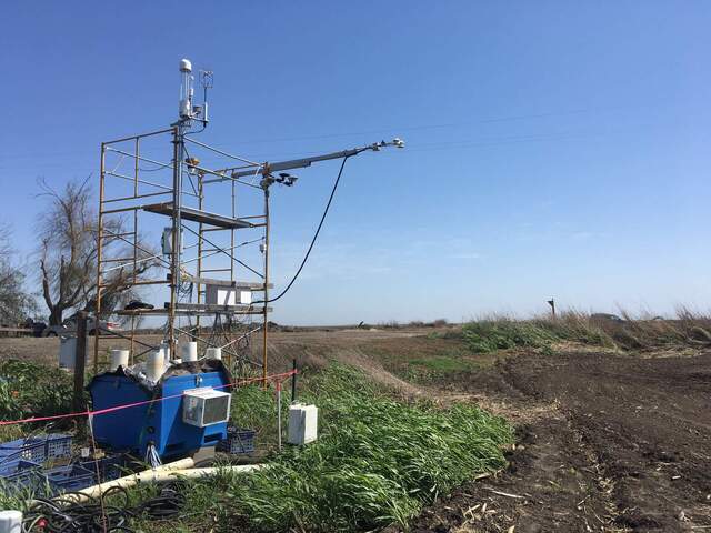
5263 20200501BC_GrassUnderRadiometers.jpg (2020-05-01 14:53:51 ) Full size: 1920x1440
Weeds under radiometers that were not disked. We will have to move the tower into the field after they plant.
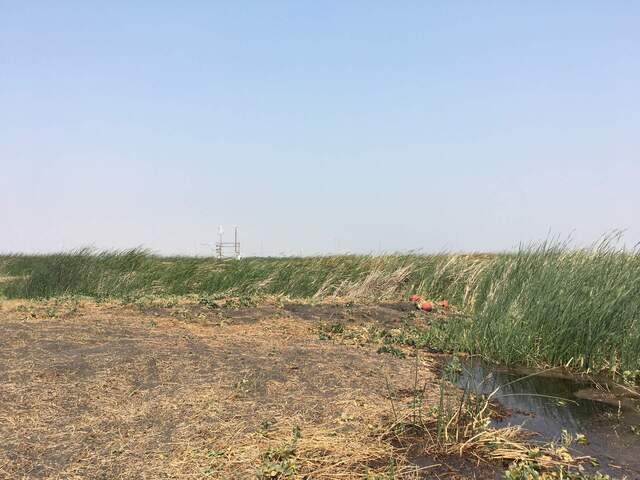
5313 20200828MB_RedBuoys.jpg (2020-08-28 13:52:08 ) Full size: 1920x1440
Round, red buoys southeast of the tower. They are from Gavin's bubble traps.
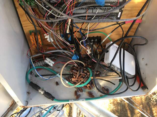
5462 IMG_2953.jpg (2020-12-18 10:03:19 ) Full size: 1920x1440
The woodpeckers have been busy stuffing acorns in every hole they can find.

5512 20210401BC_UnplowedPatch.jpg (2021-04-01 10:39:00 ) Full size: 1920x584
They still haven’t disked the patch near our tower
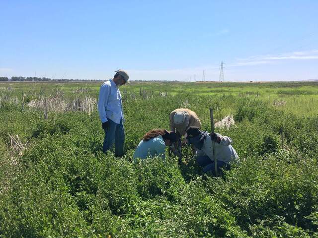
5559 20210709HS_SoilCoring.jpg (2021-07-08 10:45:58 ) Full size: 1920x1440
Dennis, Joe, Ari, and Carlos taking soil core samples before levee breach/flooding. They are in a thick patch of lamb's quarters (or similar plant).
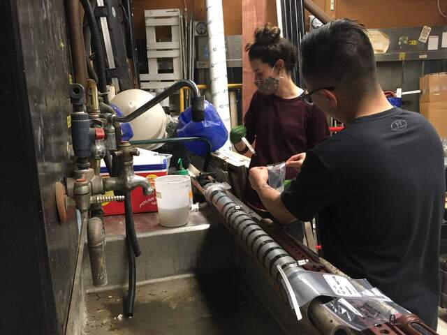
5773 20211123SW_SoilSlicing.jpg (2021-11-23 18:54:03 ) Full size: 1920x1440
Ari and Carlos slicing the soil core in the lab after a long day of sampling so that they can be preserved ASAP
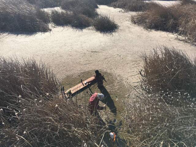
5813 20220202GT_Boardwalk.jpg (2022-02-02 15:08:24 ) Full size: 1920x1440
Ari and Joe in the water setting up the boardwalk and hanging the water sensors properly (they used to be laying at the bottom of the pond)
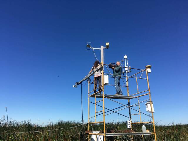
6079 20220824GT_AriInterview2.jpg (2022-08-24 11:15:15 ) Full size: 1920x1440
Ari explaining our instrumentation to ABC7 and how they help measure carbon sequestration.
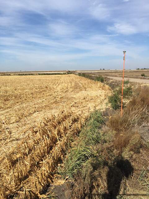
6097 20221018BC_Arable.jpg (2022-10-18 14:17:01 ) Full size: 1440x1920
Corn has been harvested. Arable is still on the edge on the field for now. We plan to move it back into the field after they finish disking or other tractor work.
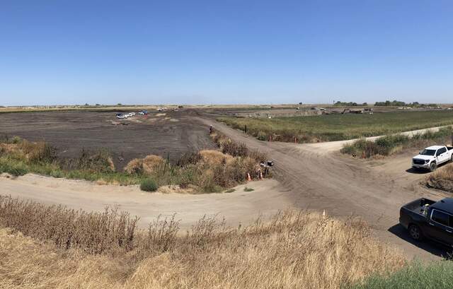
6326 20230824BC_HugeBorrowPit.jpg (2023-08-24 12:22:28 ) Full size: 1920x1227
Huge borrow pit on the north side of Hwy 12 where they are getting soil for levee maintenance
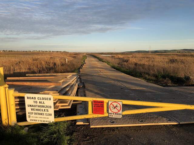
6404 20240212HS_Decking.jpg (2024-02-12 17:10:56 ) Full size: 1920x1440
Some sort of plastic decking on the road across from our tower, running to the east. Maybe they're doing sort of construction out there?
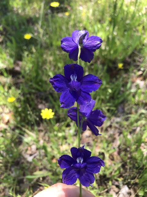
6713 20240508TZ_Larkspur.jpg (2024-05-08 12:43:19 ) Full size: 1440x1920
Larkspur flower. Apparently toxic to cows if they eat too much.
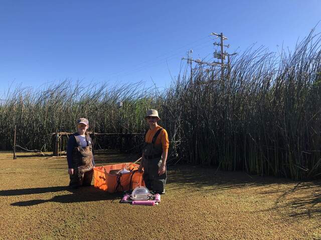
6785 20240816GT_HannahCharlie.jpg (2024-08-16 09:23:47 ) Full size: 1920x1440
Hannah and Charlie taking sample B1 at Gilbert Tract during the last day of the chamber campaign. They are recording open water CH4 fluxes.
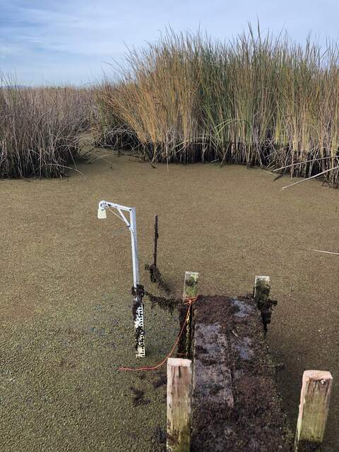
6847 20241119GT_Boardwalk.jpg (2024-11-19 10:33:41 ) Full size: 1440x1920
Installed 3 sets of azolla in mesh bags for Kuno's decomposition experiment. They are installed low enough to remain submerged during low tide. The profiles are marked with the bright orange mason string.
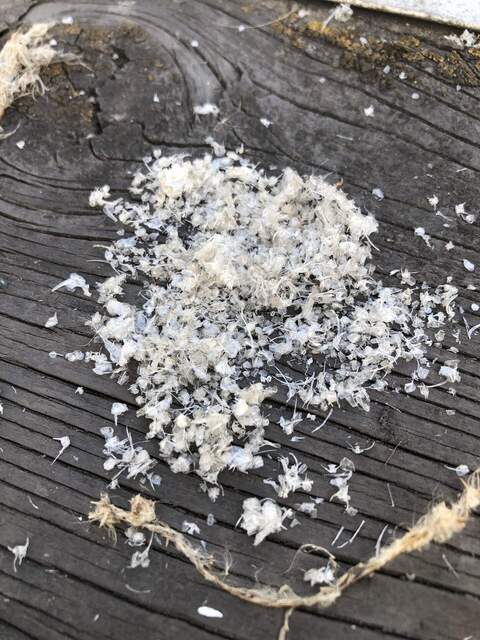
6848 20241119MB_FishScales.jpg (2024-11-19 12:19:12 ) Full size: 1440x1920
A pile of white fish bones/scales on the Mayberry boardwalk. Joe thinks they are from a heron, who can regurgitate scales/bones kind of like owl pellets.
Page: [1]

