
Biomet Gallery
All Photos | Site Cam Gallery | Key words
View Details
Page: [1]
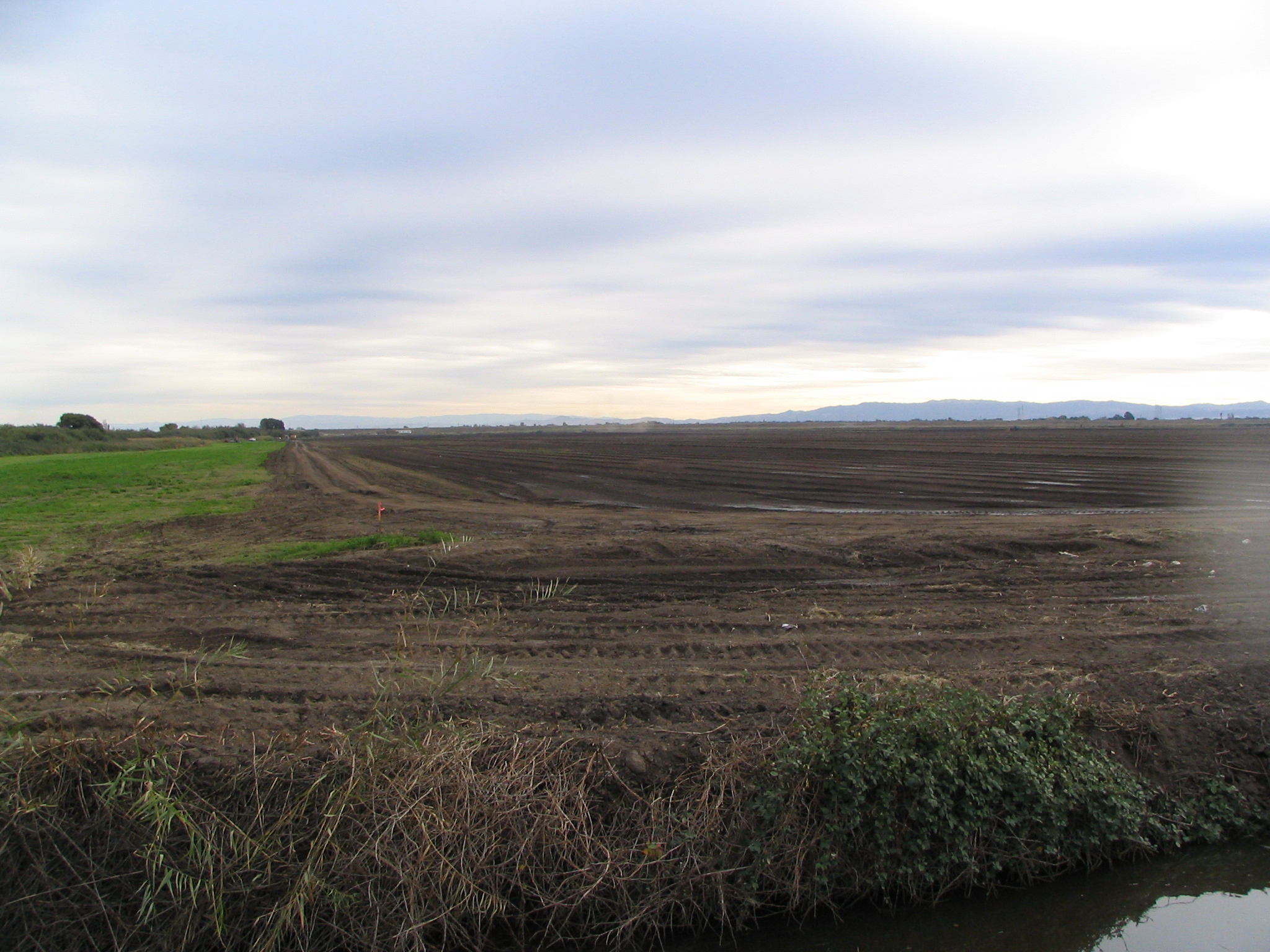
1614 20081105TW_FieldLookingSouth.jpg (2008-11-05 16:01:33 ) Full size: 2048x1536
Tilled rice fields looking south
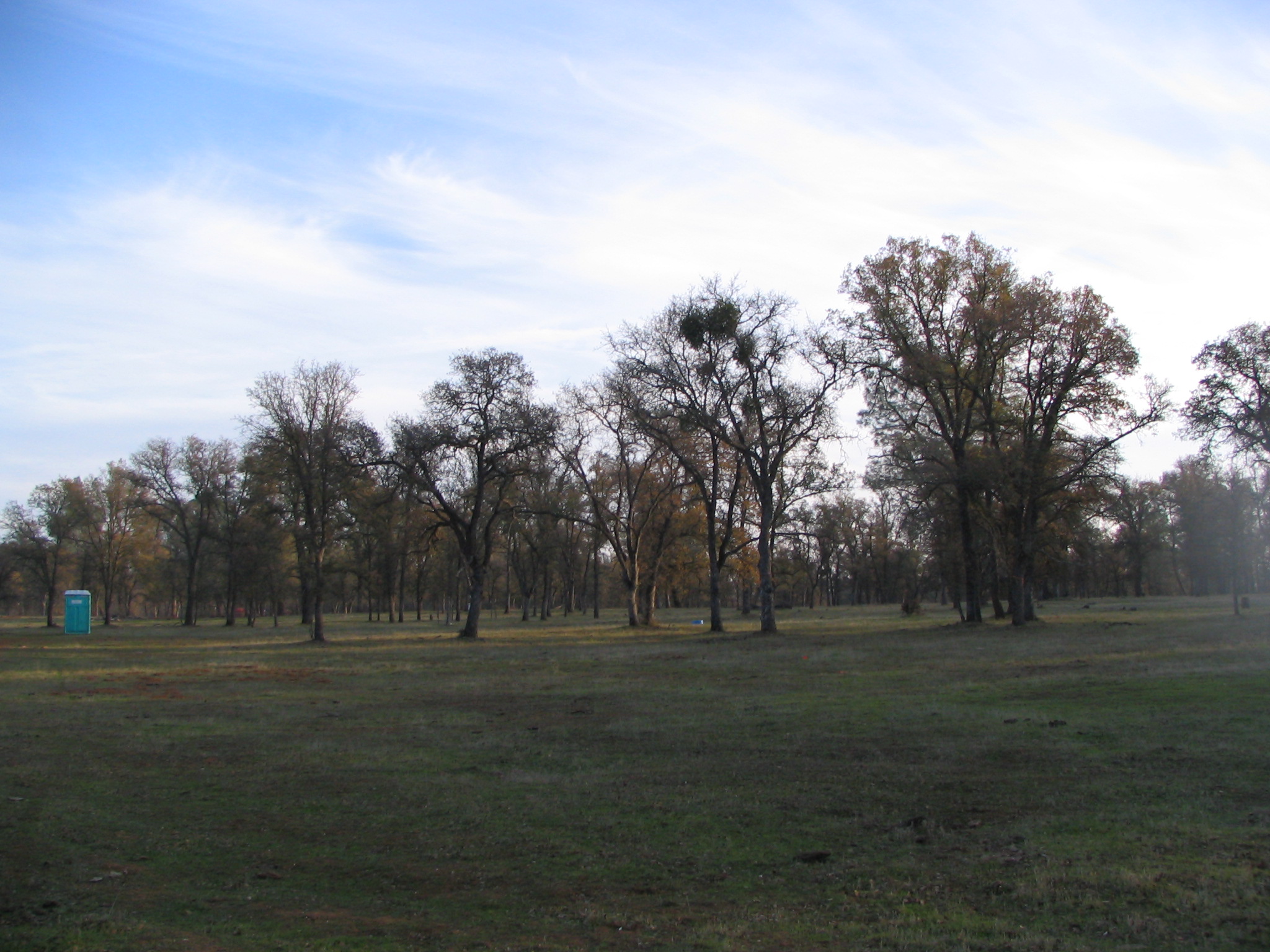
3277 20081211TZ_SouthEast.jpg (2008-12-11 16:20:22 ) Full size: 2048x1536
Some new grass south east of the tower
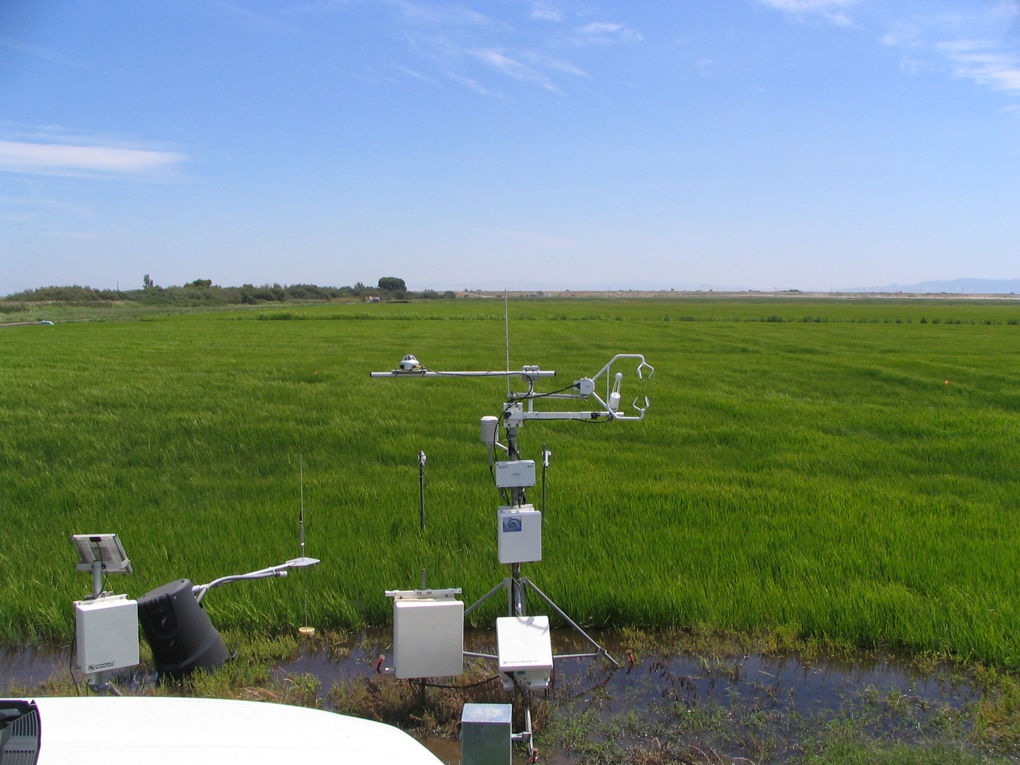
1655 20090710TW_FranksTowerSouth.jpg (2009-07-10 14:24:50 ) Full size: 2048x1536
USGS eddy tower at edge of flooded rice paddy
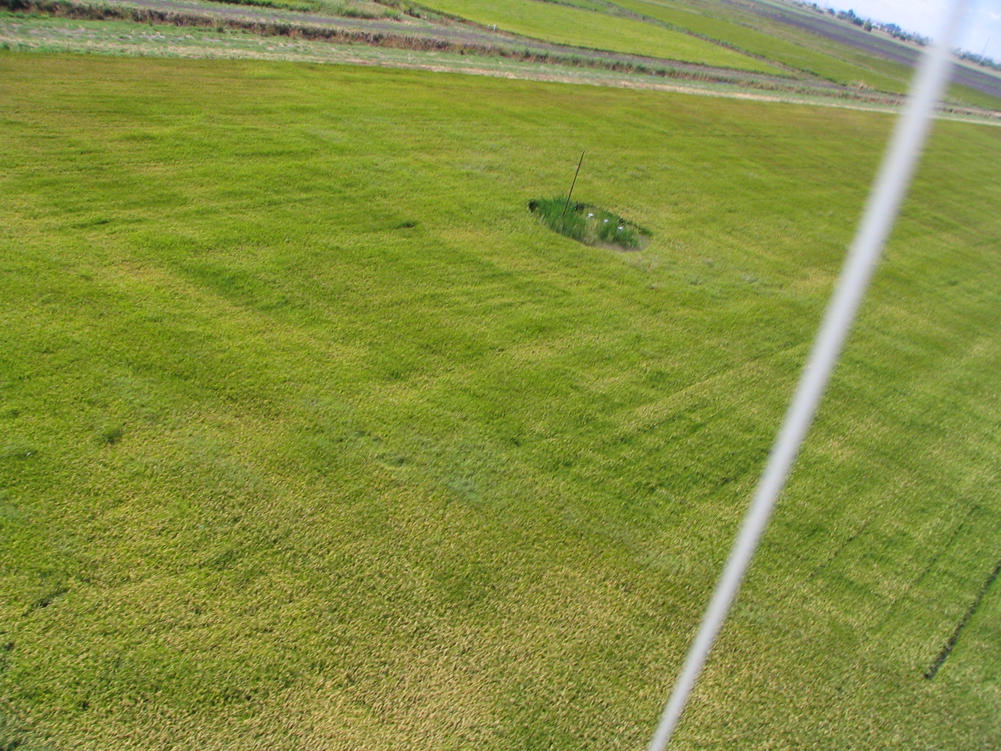
1687 20090914TW_KiteSouthOfTower.jpg (2009-09-14 12:20:51 ) Full size: 2048x1536
View of rice field from kite camera
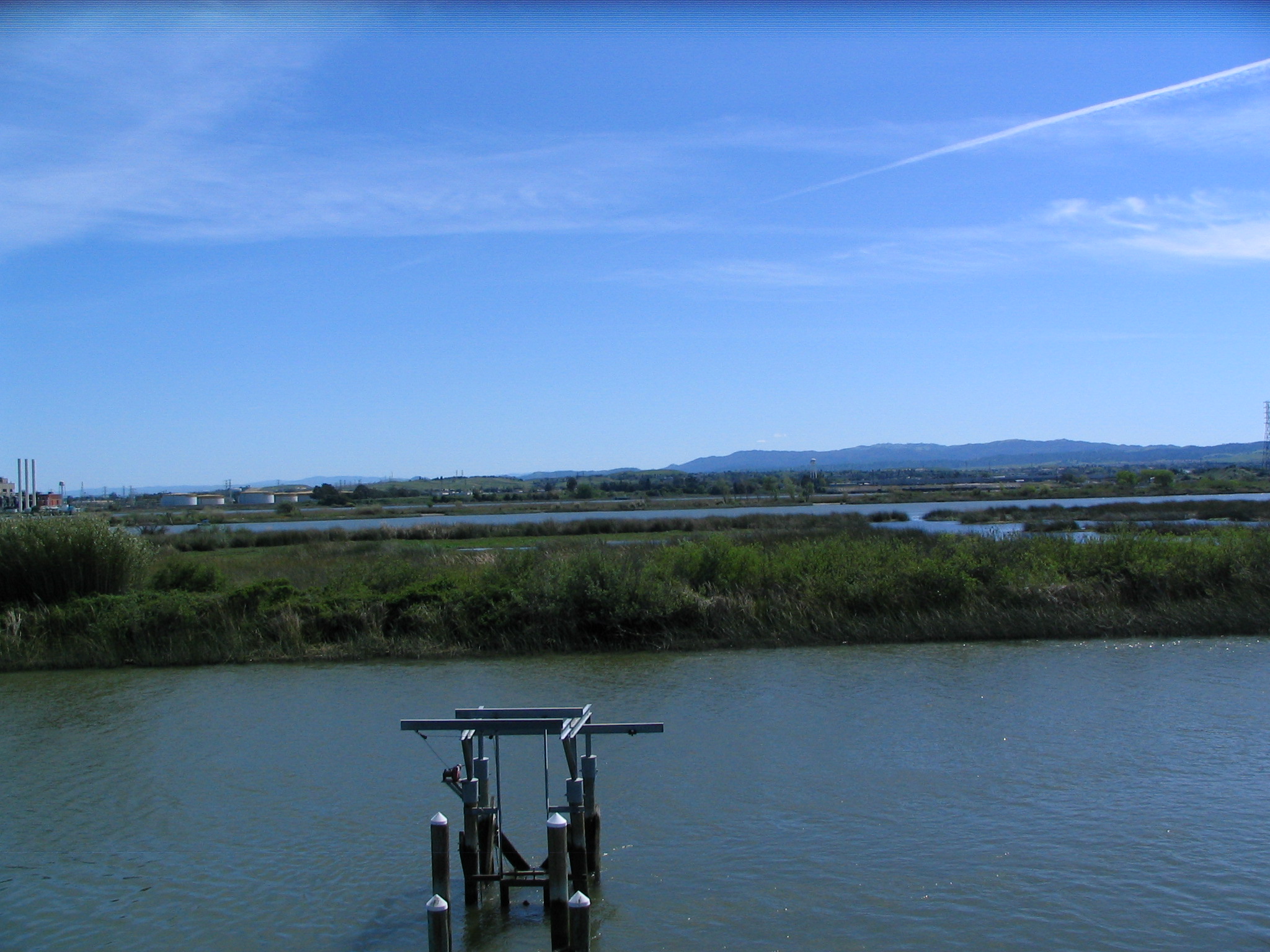
328 20100406SL_TowerViewSouth.jpg (2010-04-06 14:33:03 ) Full size: 2048x1536
Channel to the south of levee tower
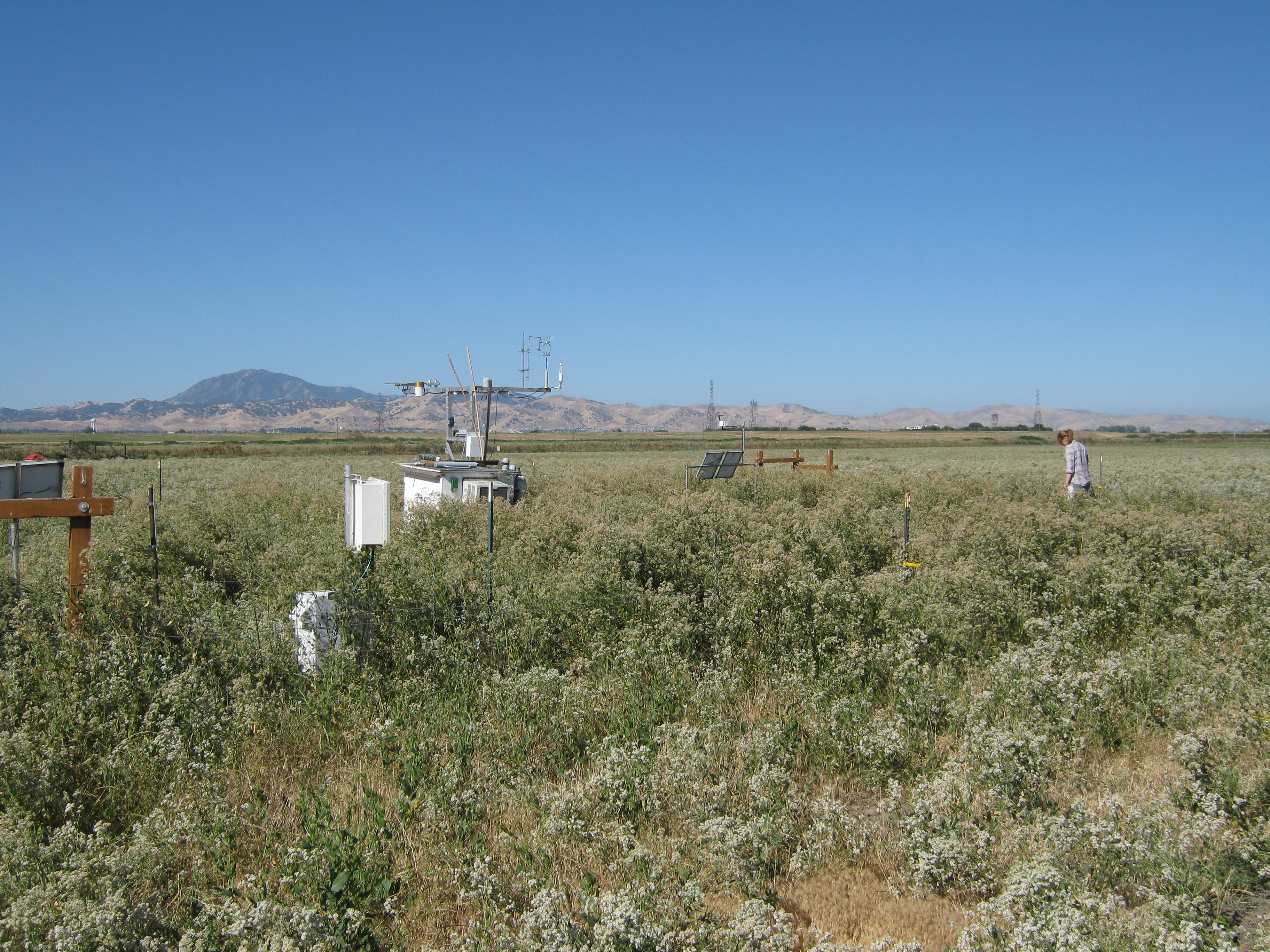
46 20100616SI_SiteJaclyn.jpg (2010-06-16 09:08:06 ) Full size: 3648x2736
Looking south at tower and Mt Diablo. Jaclyn doing fieldwork.
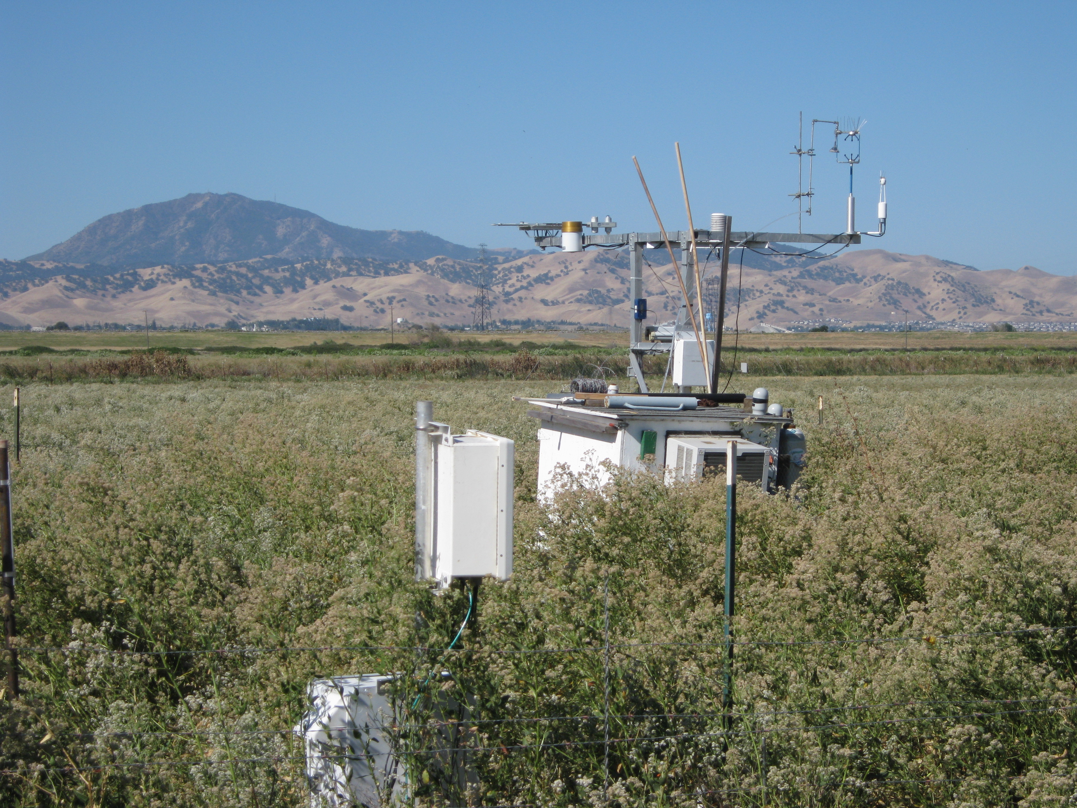
47 20100616SI_TowerDiablo.jpg (2010-06-16 09:08:20 ) Full size: 3648x2736
Looking south at the tower and Mt. Diablo.
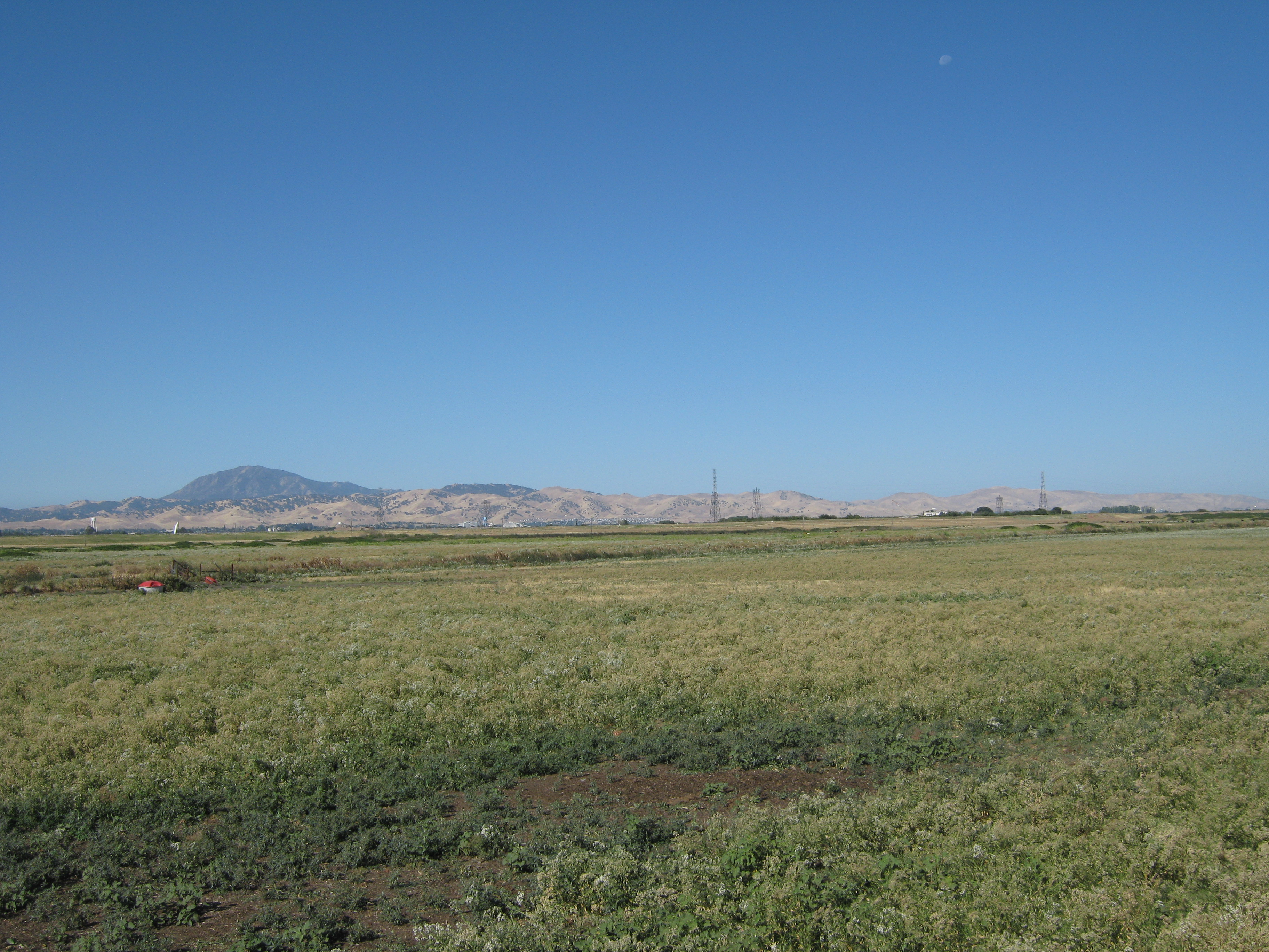
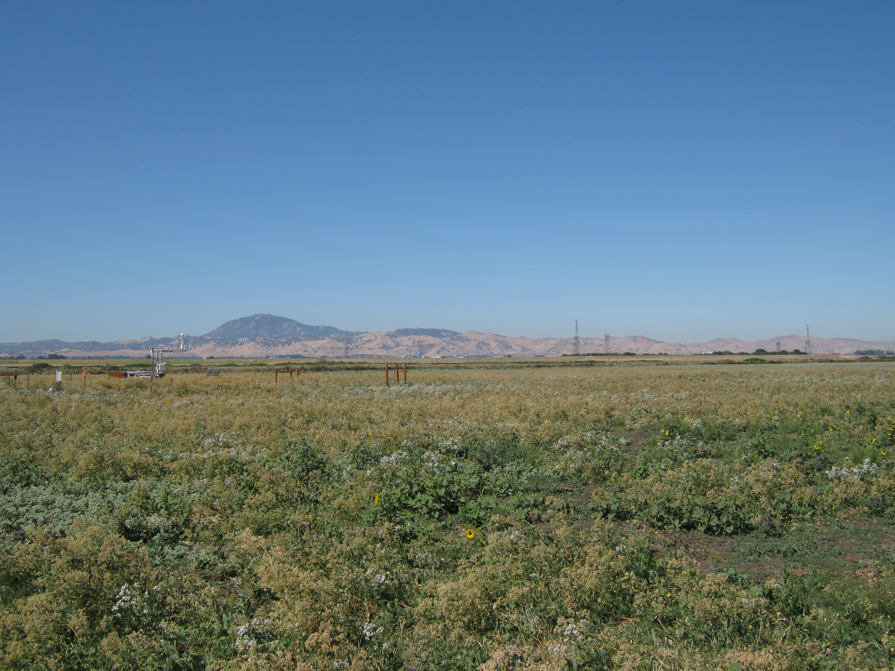
52 20100701SI_FieldSouth.jpg (2010-07-01 09:04:14 ) Full size: 3648x2736
The field south of the tower and Mt. Diablo.
65 20100714SI_TowerLookingSouth.jpg (2010-07-14 10:10:20 ) Full size: 3648x2736
View of Sherman pasture dominated by flowering pepper weed with Mt Diablo in background
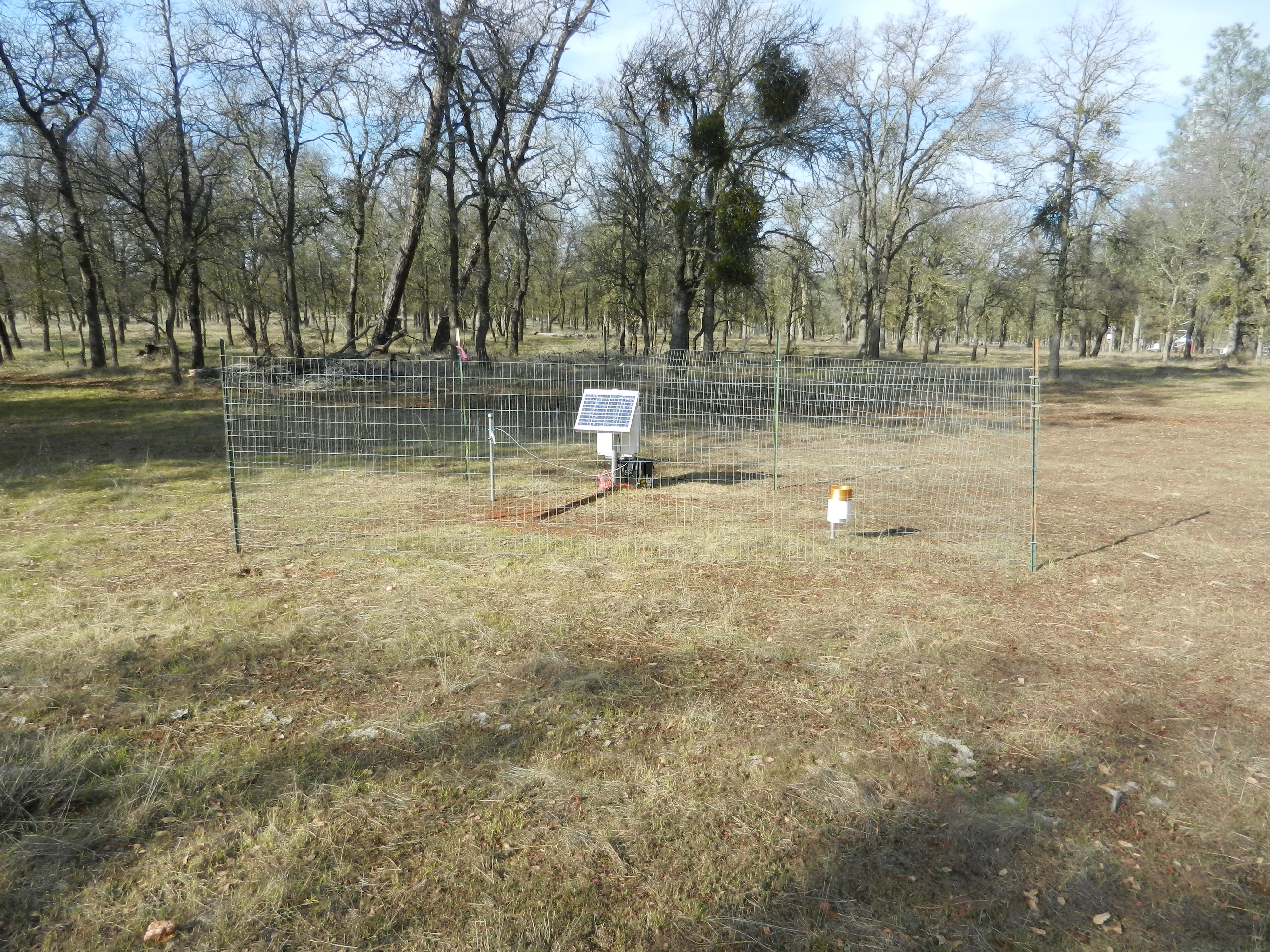
218 20100805VR_TowerTree.jpg (2010-08-05 09:02:18 ) Full size: 3648x2736
Tower and tree to the south.
260 20100902TZ_SapFlowSouthTrees.jpg (2010-09-02 11:39:32 ) Full size: 3648x2736
Tress used for south sap flow station
259 20100902TZ_SapFlowSouthLookingSW.jpg (2010-09-02 11:40:12 ) Full size: 3648x2736
Sap flow south station
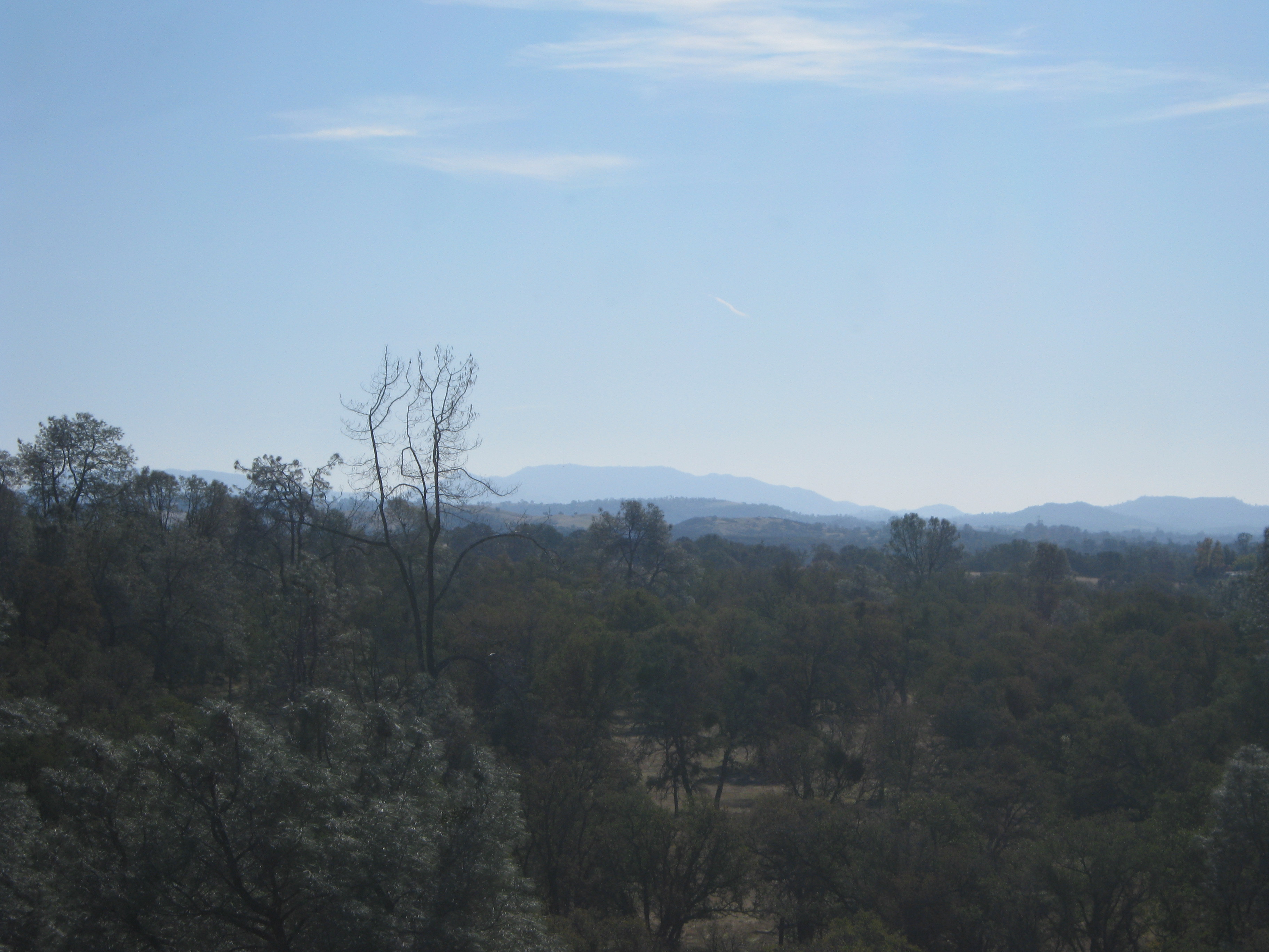
488 20101112TZ_ViewSouth.jpg (2010-11-12 10:32:14 ) Full size: 3648x2736
Hazy hills above oak woodland
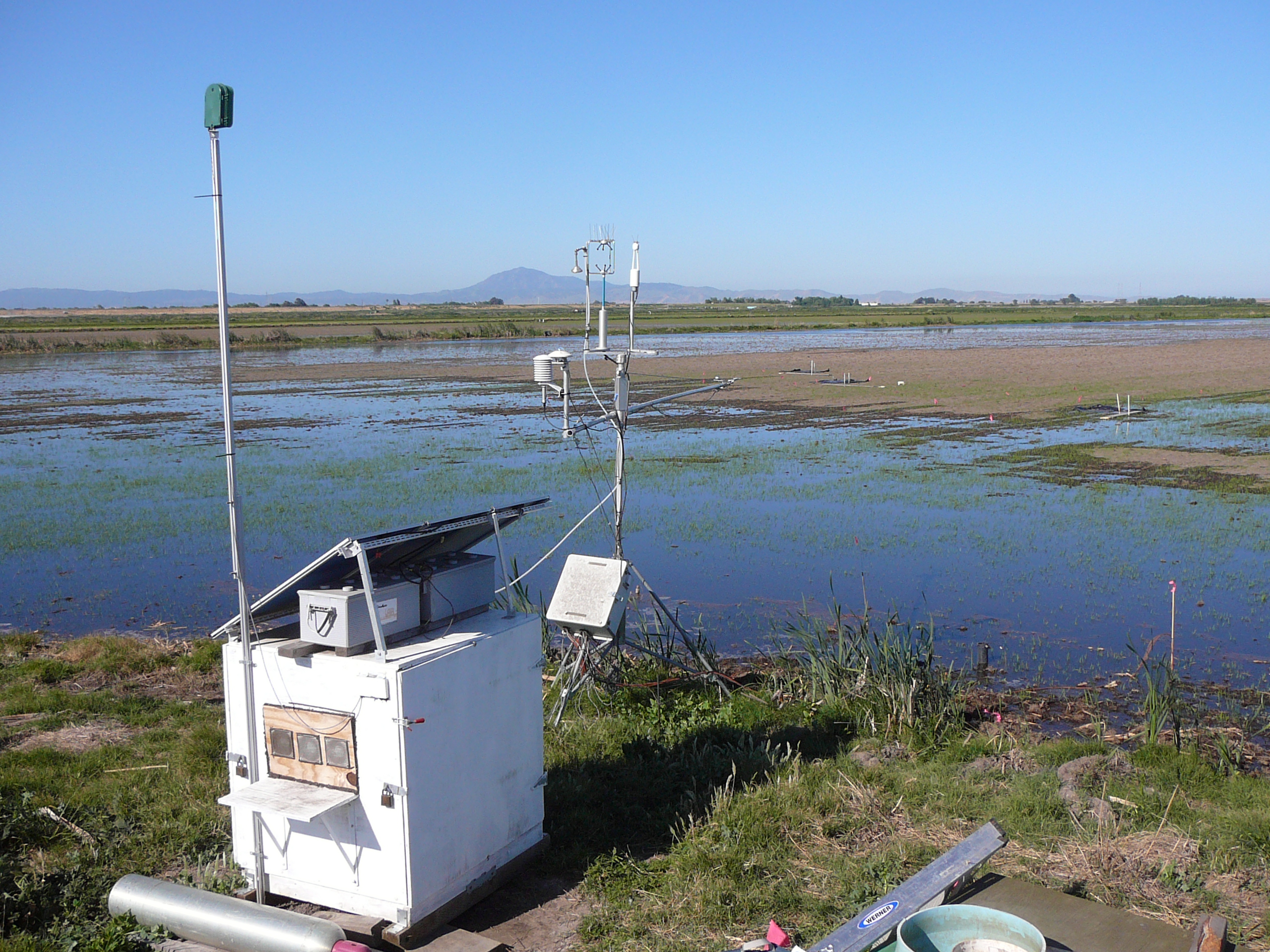
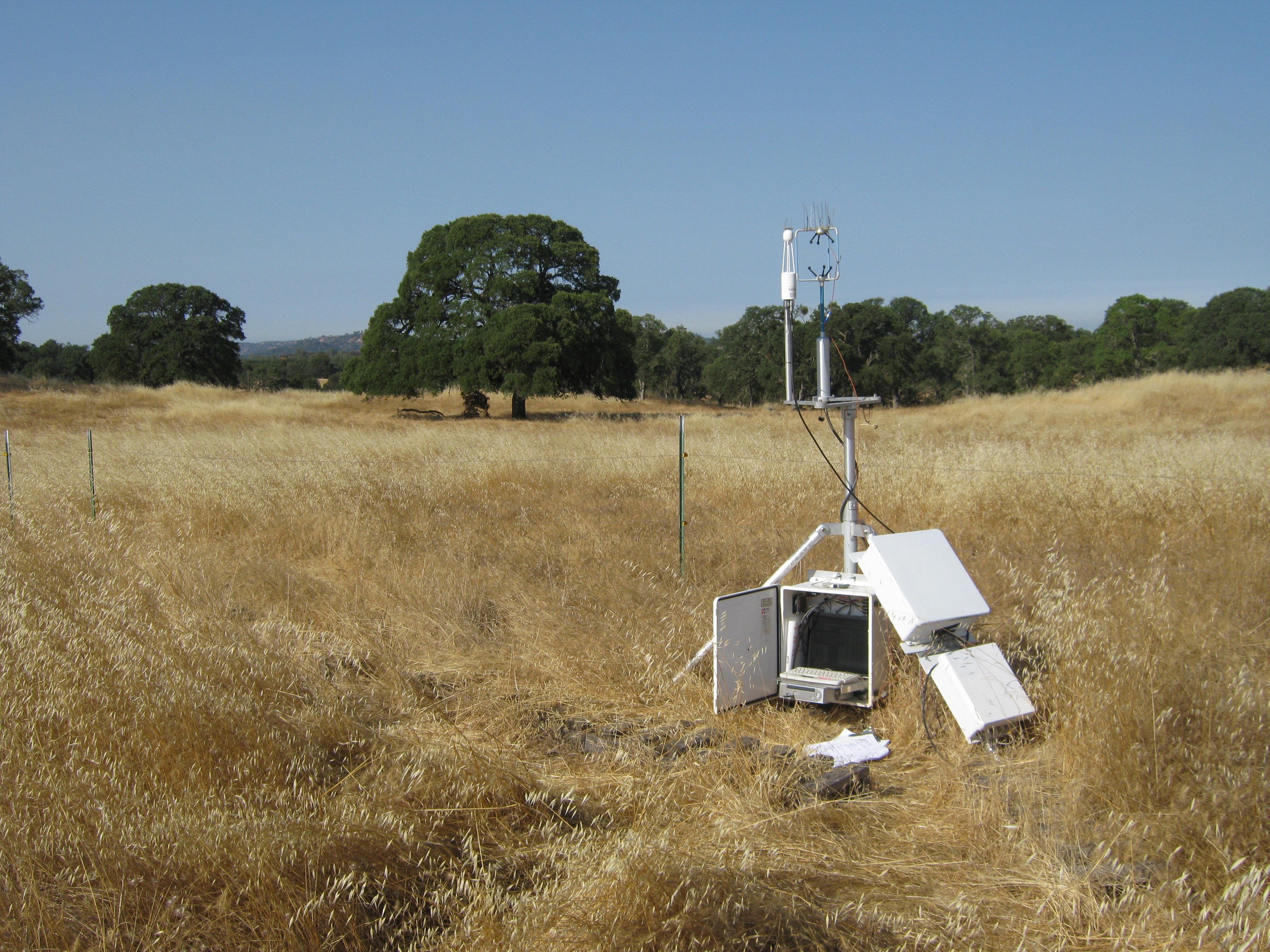
1044 20110513TW_TowerSouth.jpg (2011-05-13 07:48:58 ) Full size: 2560x1920
Equipment box and tower with Mt Diablo in the background
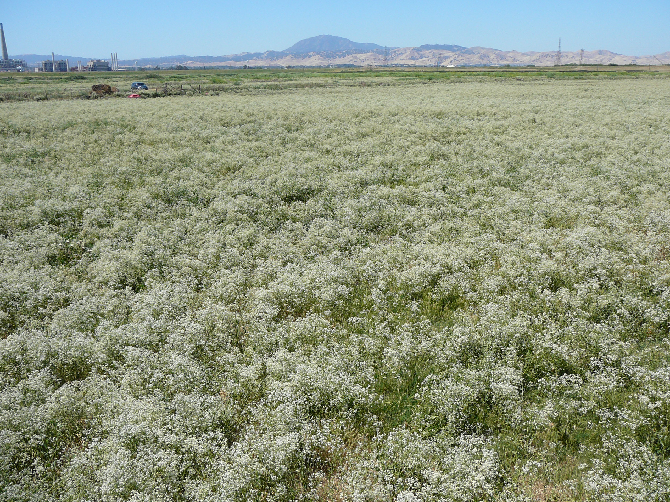
1285 20110621SI_FieldSouth.jpg (2011-06-21 10:21:57 ) Full size: 2560x1920
Pepper weed in full bloom with Mt Diablo
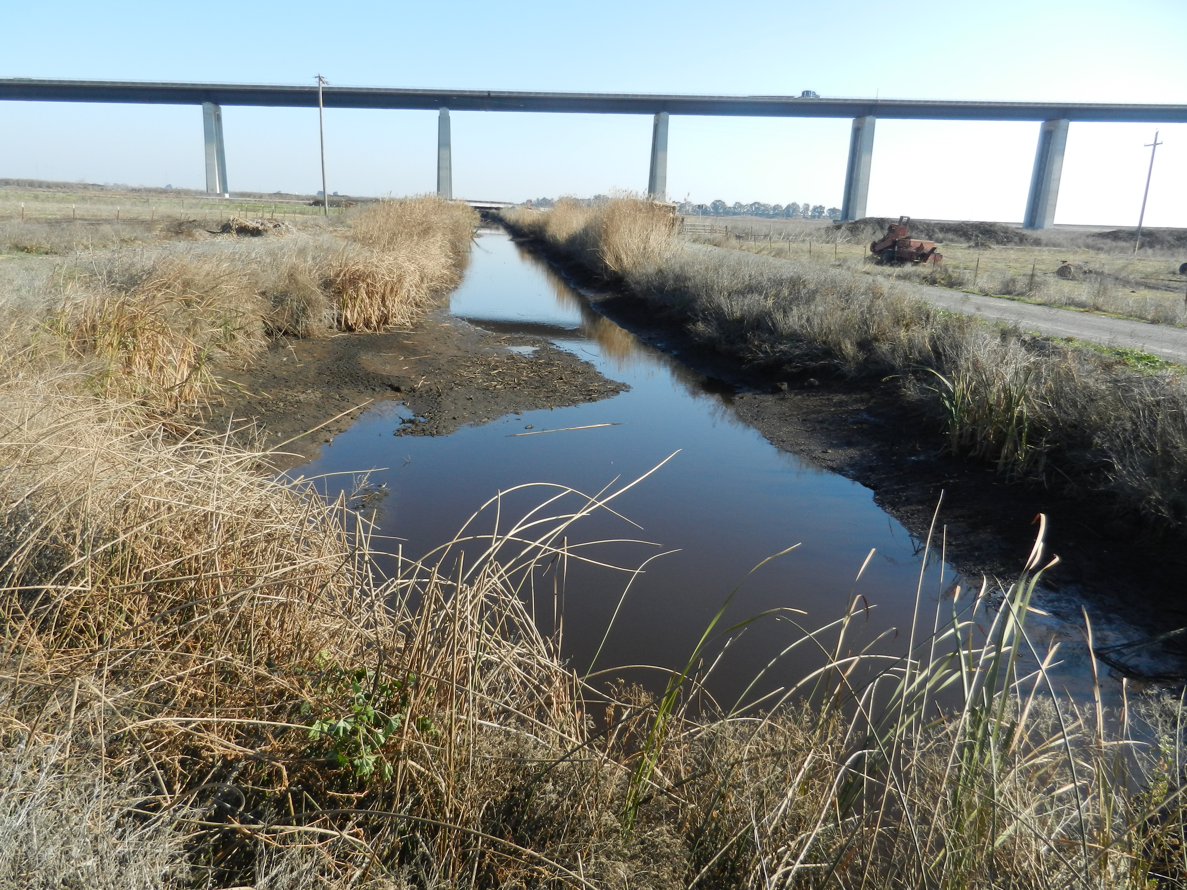
2112 20111214SI_DitchLowWater.jpg (2011-12-14 13:15:42 ) Full size: 4000x3000
Low water in the ditch south of the cow pasture on Sherman Island
2237 20120125TZ_OSUStation3.jpg (2012-01-25 15:19:14 ) Full size: 4000x3000
OSU soil moisture station 3 south east of tower.
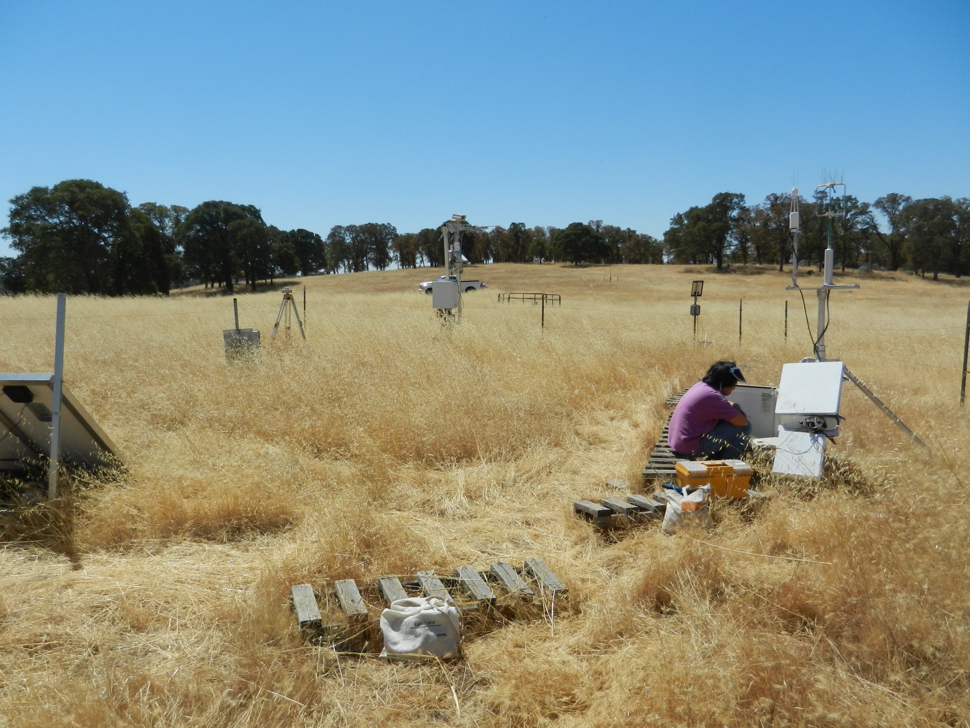
2853 20120822VR_SiyanTowerSouth.jpg (2012-08-22 11:41:00 ) Full size: 1920x1440
Siyan working at the Vaira eddy tower surrounded by yellow grass
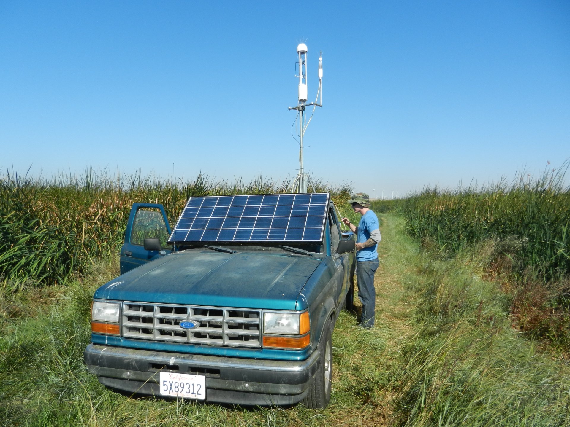
2989 20121018MB_NewSolarMount1.jpg (2012-10-18 10:50:09 ) Full size: 1920x1440
We moved the solar panel to rest over the windshield at about a 45 degree angle facing due south
2990 20121018MB_NewSolarMount2.jpg (2012-10-18 10:50:30 ) Full size: 1920x1440
We moved the solar panel to rest over the windshield at about a 45 degree angle facing due south

3749 20140110WP_EastPondDig.jpg (2014-01-10 14:40:41 ) Full size: 1920x1440
Cove and Dennis south edge of East Pond
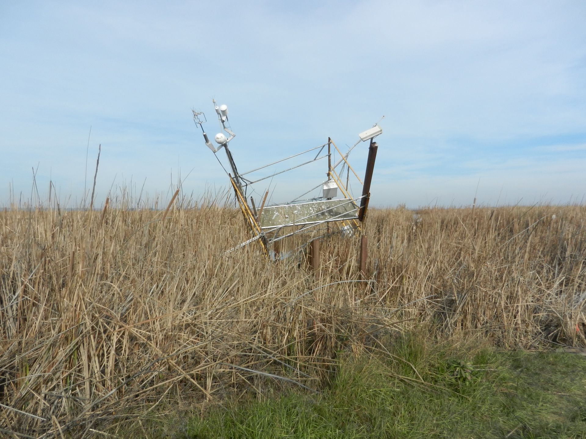
4144 20150105MB_TowerBlownOver.jpg (2015-01-05 14:27:57 ) Full size: 1920x1440
The Mayberry scaffolding was leaning at about a 45 degree angle to the south, probably blown by the winds on 2014-12-30. Narrowly saved by one of the cross braces caught on one of the boardwalk posts
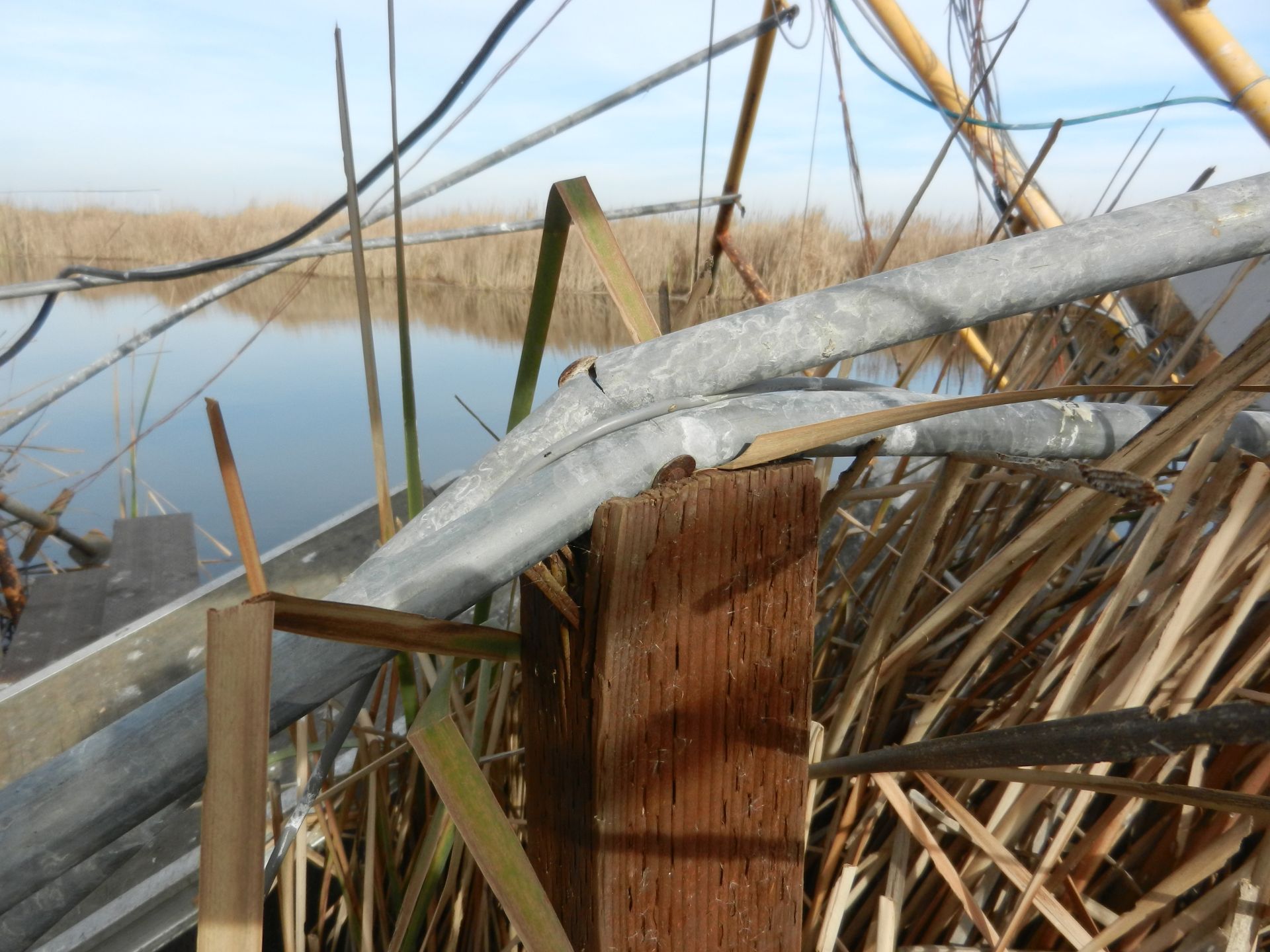
4143 20150105MB_SavedByCrossbar.jpg (2015-01-05 14:28:39 ) Full size: 1920x1440
One of the cross braces on the south side of the tower had caught and bent against one of the boardwalk posts keeping the tower from falling further.
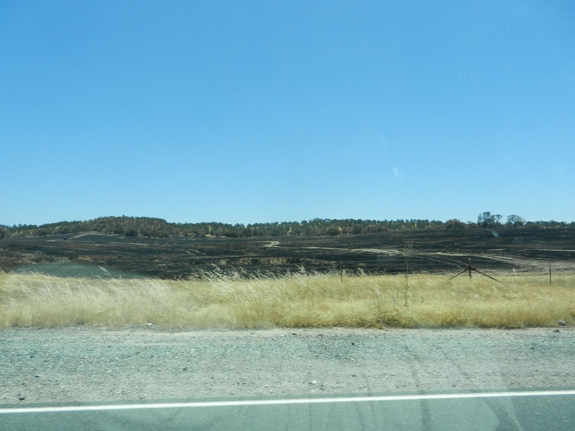
4522 20160707TZ_TwinCitiesBurn_tn.jpg (2016-07-07 13:50:12 ) Full size: 1920x1440
There has been a relatively large fire along the south side Twin Cities Rd burning the cow pastures west of the quarry.
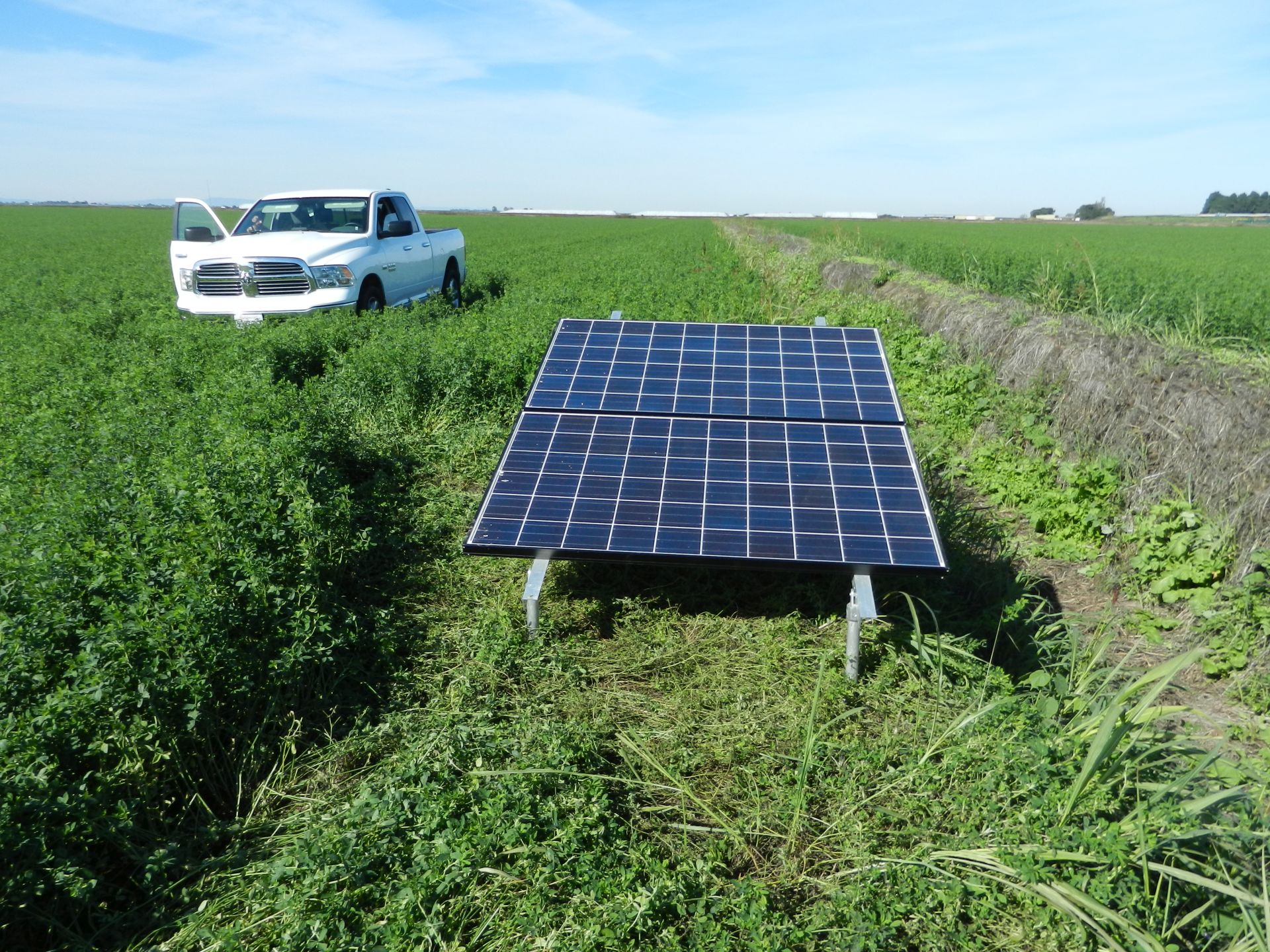
4594 20161103BA_SolarPanels.jpg (2016-11-03 13:38:50 ) Full size: 1920x1440
We moved the solar panels so they now face south along the ditch east of the tower.
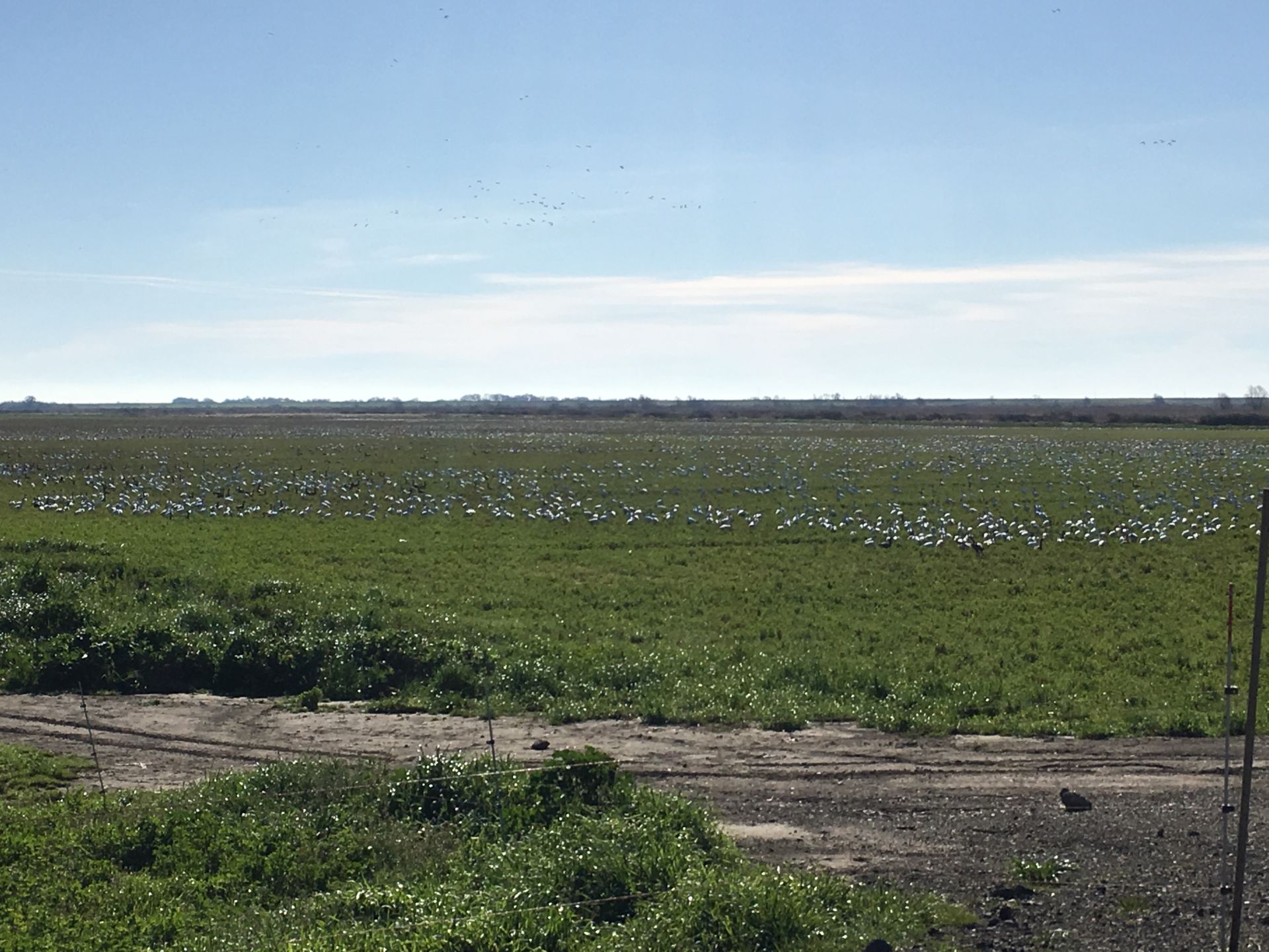
4636 20170308TA_Geese.jpg (2017-03-08 09:07:52 ) Full size: 1920x1440
Lots of geese on the field south of TA
4665 20170420BC_FacingSouthWest.jpg (2017-04-20 09:52:33 ) Full size: 1920x1080
Drain in the southeast corner
4666 20170420BC_FacingSouth.jpg (2017-04-20 09:52:37 ) Full size: 1920x1080
Heather and Joe
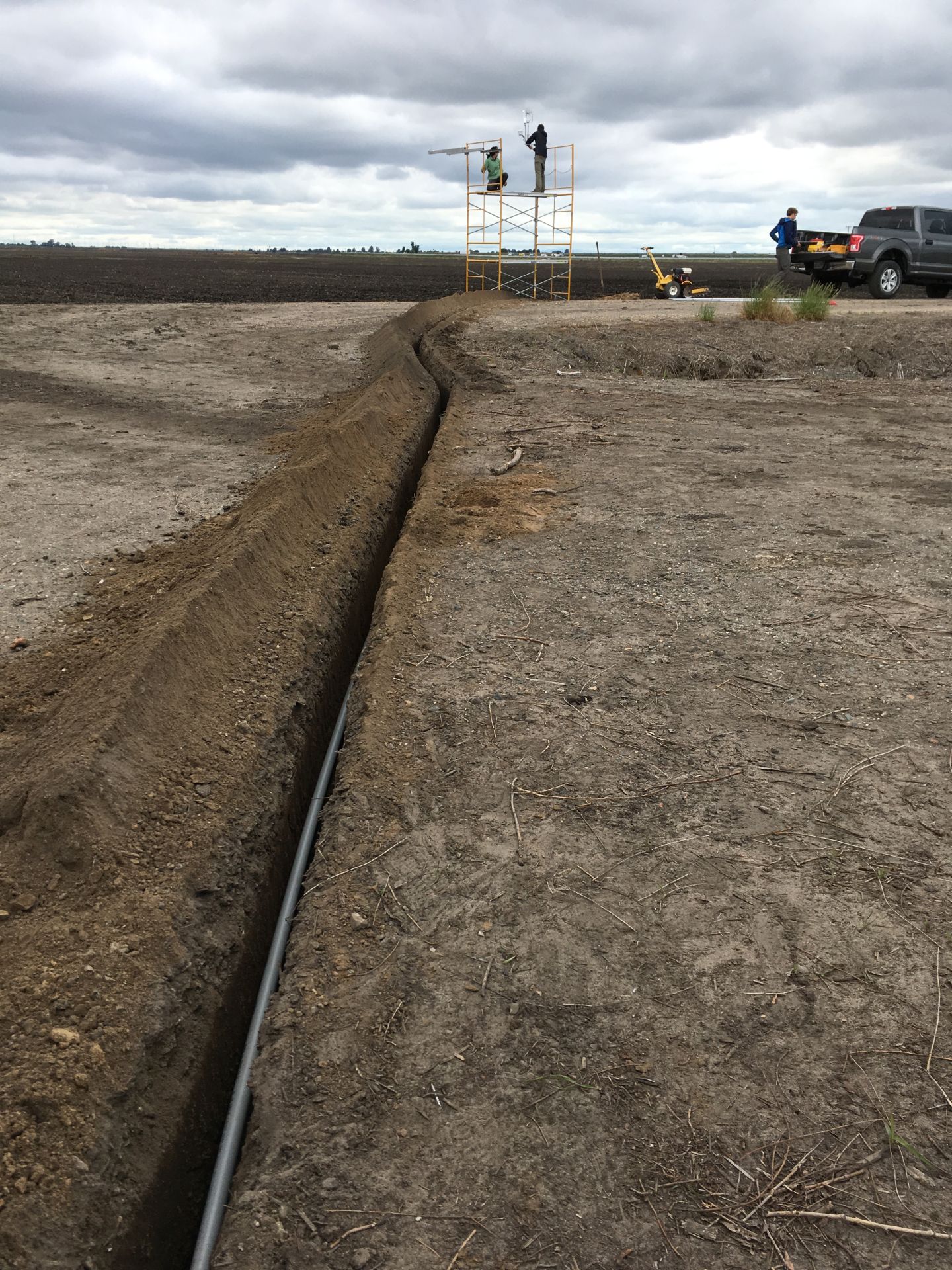
4670 20170426BC_Trench.jpg (2017-04-26 12:48:29 ) Full size: 1440x1920
We used a rented trencher to dig a 12in deep trench from the northwest corner of the porch, just past the end of a north-south drainage ditch to the tower location. It crosses both roads at a diagonal. The power cable (two conductor #10 with ground UF-B direct burial cable) is in 3/4in plastic conduit at the bottom of the trench.

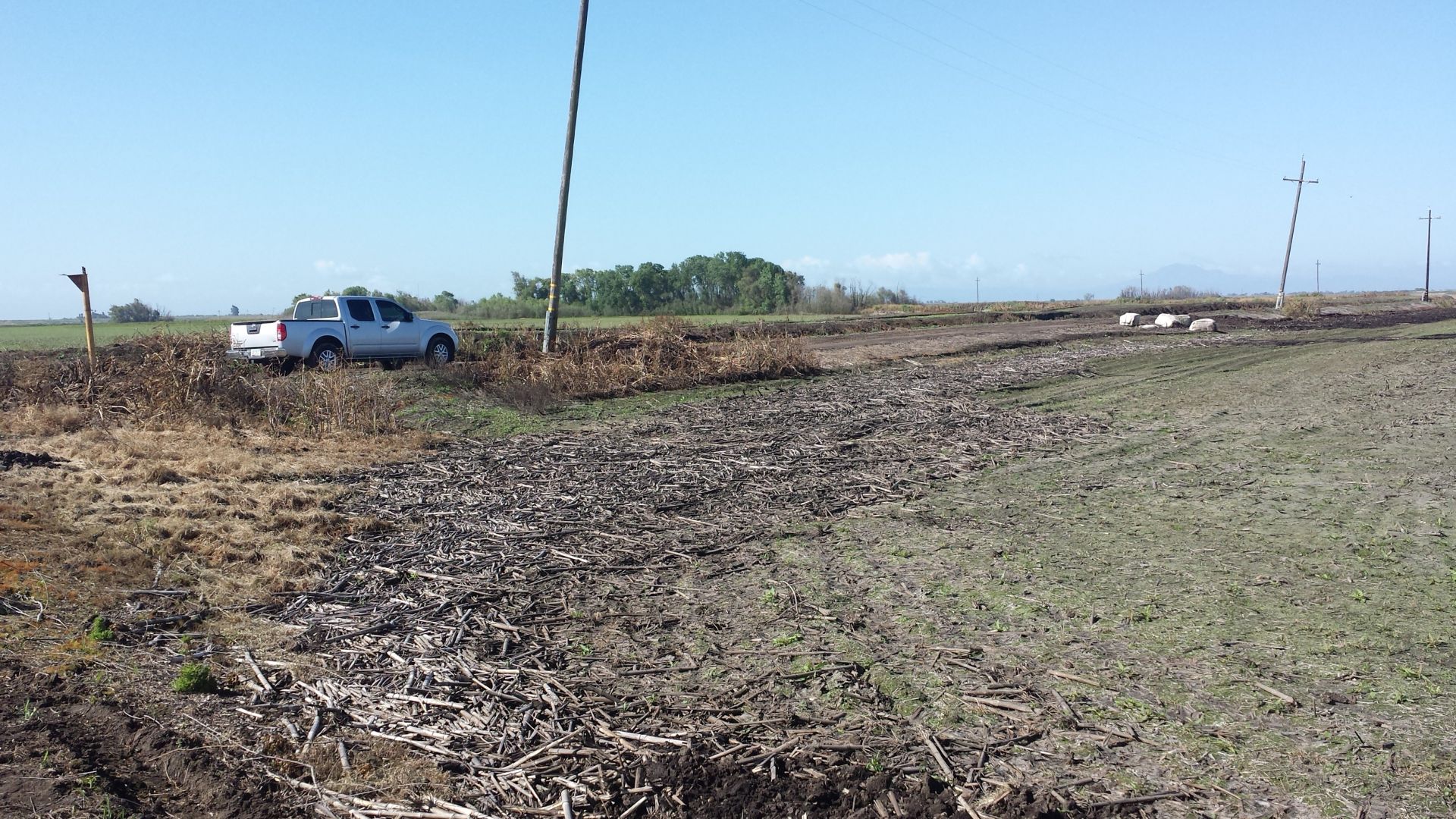
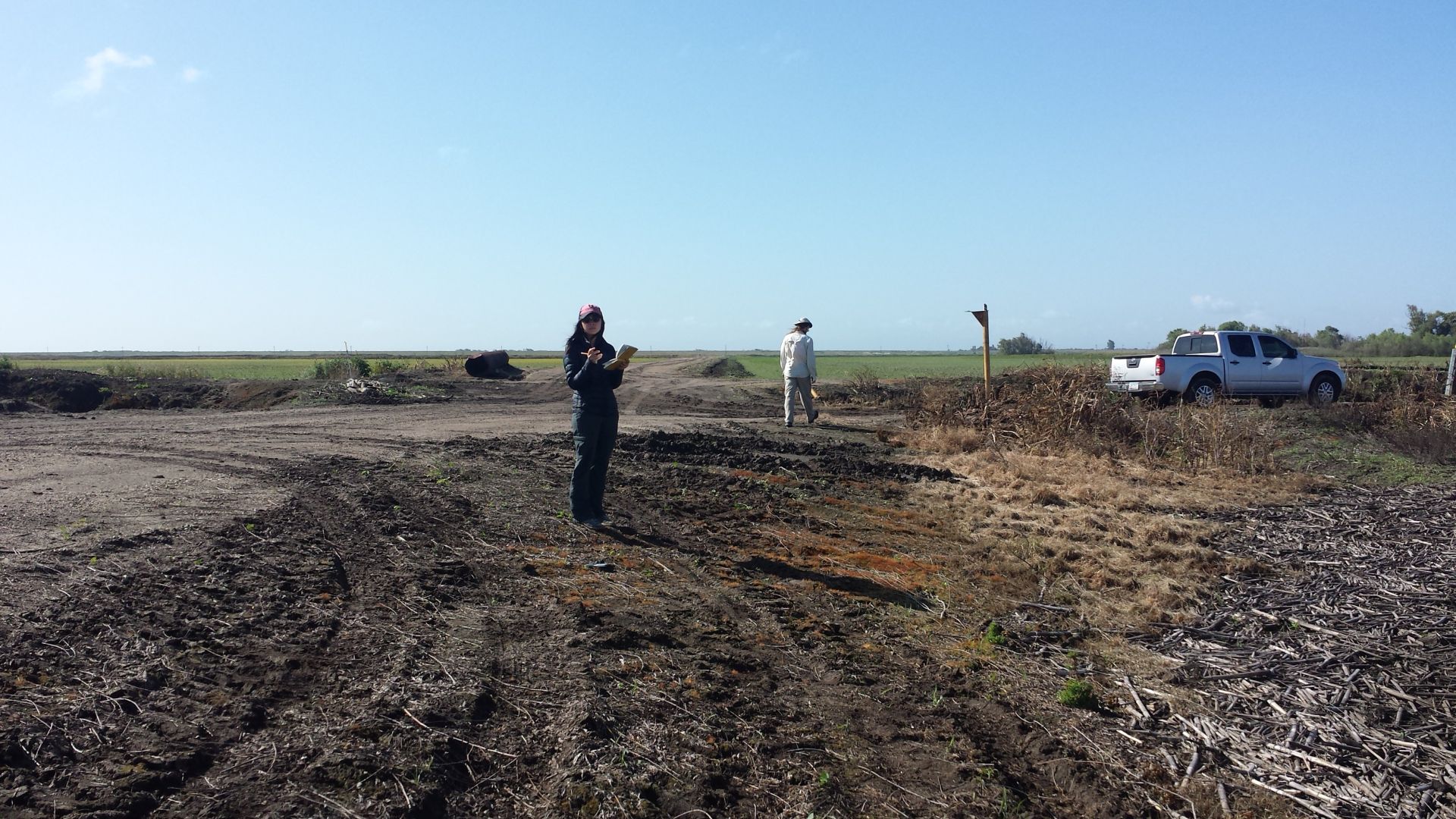
4983 20190222EE_TruckStuckMud.jpg (2019-02-22 13:01:25 ) Full size: 4032x3024
Our rental 4x4 stuck in the mud, on the dirt road south of the old

5112 20191219VR_SmokeToTheSouth.jpg (2019-12-19 00:00:00 ) Full size: 1920x1094
What looks like smoke rising from a relatively large area to the south

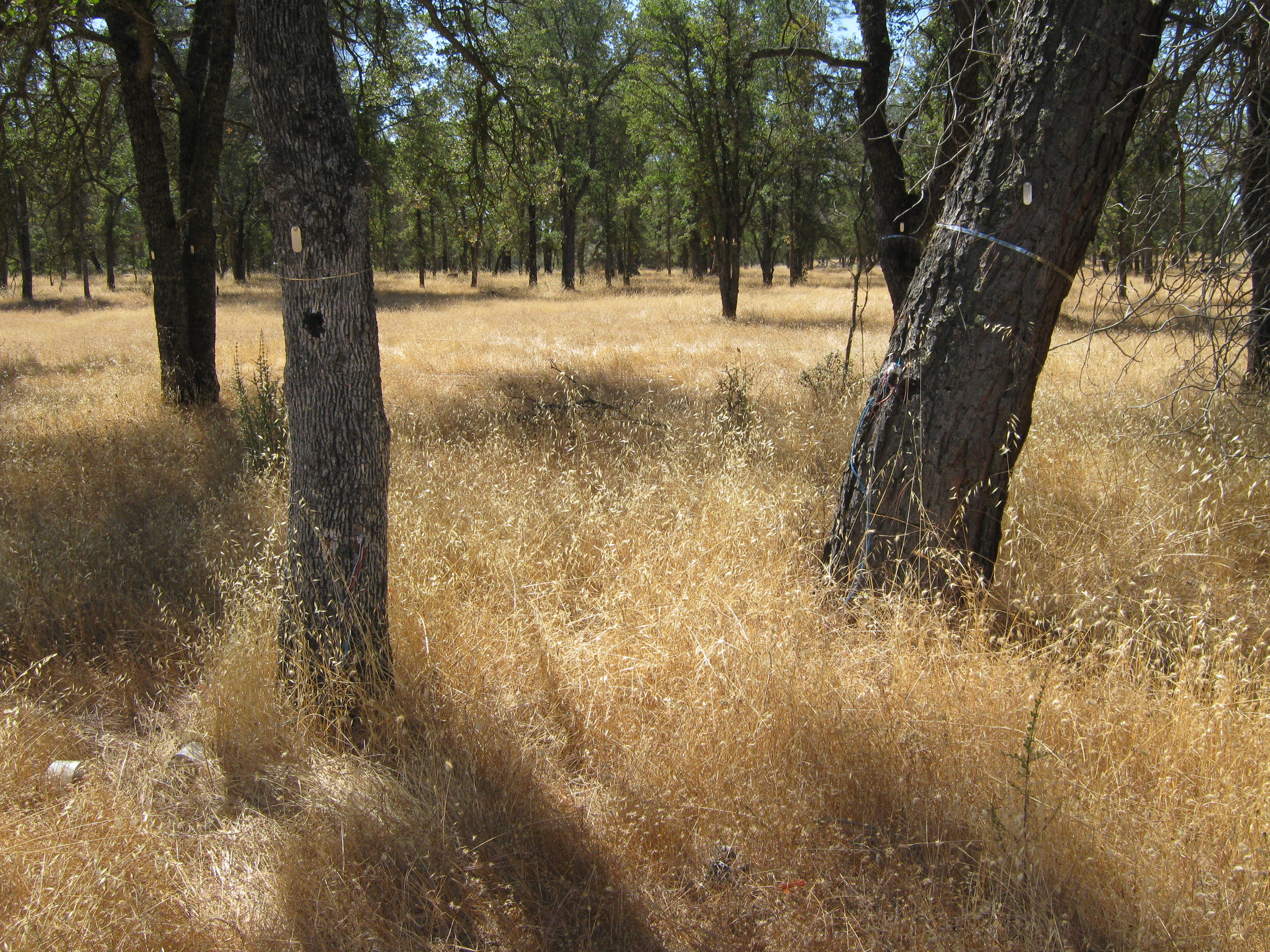
5190 20200312VR_NewLeaves.jpg (2020-03-12 00:00:00 ) Full size: 1920x1440
Trees south of the road with new leaves
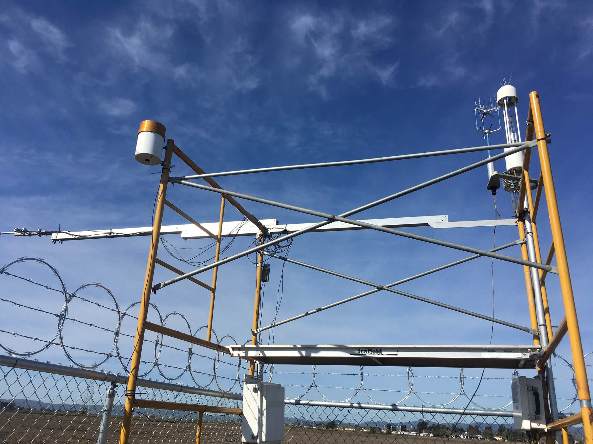
5509 20210316HS_InstrumentTower.jpg (2021-03-16 10:28:04 ) Full size: 1920x1440
Precip bucket installed on the SE corner of the scaffolding, radiation boom pointing south, flux sensors on NW corner of scaffolding.
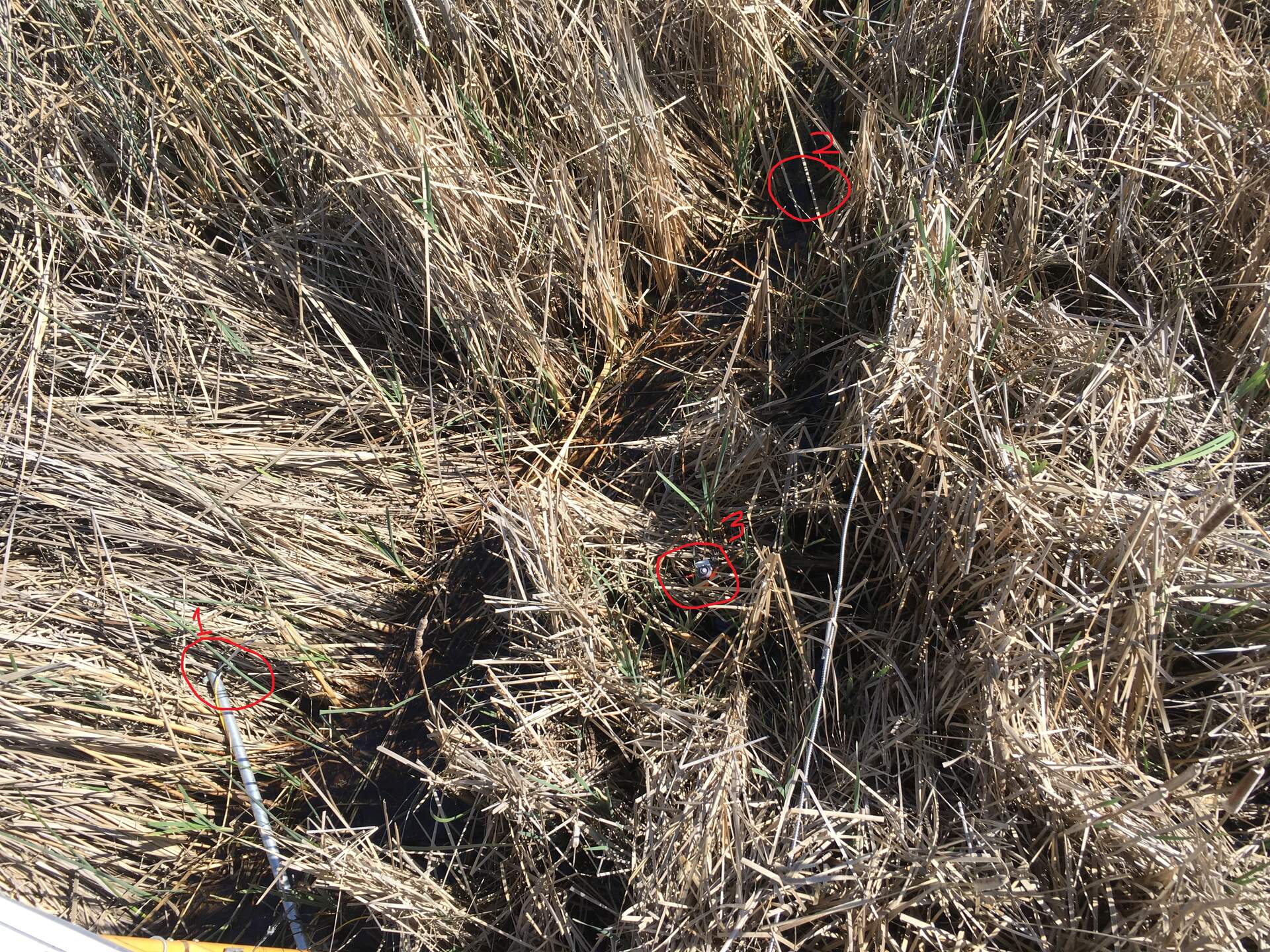
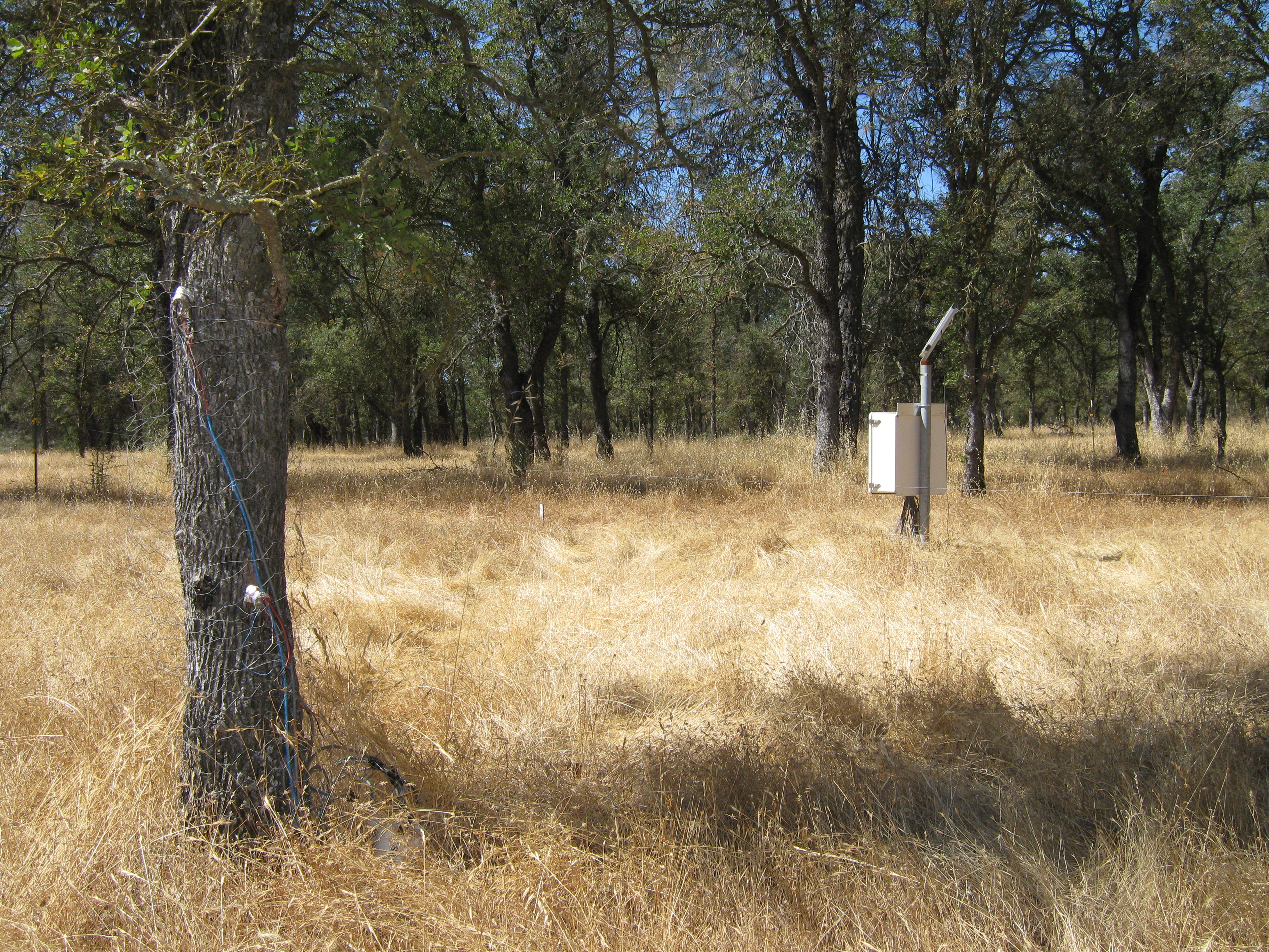
5522 20210415EE_UndercanopyPAR.jpg (2021-04-15 15:51:06 ) Full size: 1920x1440
Location of undercanopy PAR sensors on south side of the tower. This is the view when looking down from the upper boardwalk. Undercanopy PAR #2 sensor is currently underwater.

5802 20220120BA_Mushrooms.jpg (2022-01-20 14:00:02 ) Full size: 1920x1440
Large mushrooms spotted south of the tower
6269 20230302GT_SouthBank.jpg (2023-03-02 17:36:56 ) Full size: 1440x1920
View from the south bank where the ADCP is installed, looking north across the channel. Not much submerged aquatic vegetation is visible today.

6268 20230302GT_NorthBank.jpg (2023-03-02 17:47:41 ) Full size: 1440x1920
View from the north bank of Little Dutch Slough channel, looking south toward the ADCP. There are some submerged aquatic vegetation visible, but we'll try to come at lower tide next time to remove them.

6767 20240723EE_TreeDown.jpg (2024-07-23 09:15:29 ) Full size: 1920x1440
Tree down on the interior levee road, just south of our tower

6827 20241024BA_TowerMoved.jpg (2024-10-24 15:52:16 ) Full size: 1920x1440
After wheat was planted, tower was moved a few meters into the field and rotated so that the radiometers point south.
Page: [1]