Biomet Gallery
All Photos | Site Cam Gallery | Key words
Large Photos
Page: [1]
| ID | Name | Location | Date | Size | Camera | Thumb |
|---|---|---|---|---|---|---|
| 1490 | DSCN0551.JPG From the top of flux tower. See the colors of trees |
Tonzi | 2007-08-12 18:19:11 | 2048x1536 | COOLPIX L5 | |
| 1563 | DSCN0788.JPG On the way to Vaira ranch. See the clouds! |
Tonzi | 2007-08-31 17:04:55 | 2048x1536 | COOLPIX L5 | |
| 1539 | DSCN0801.JPG See the sun's location where cloud exactly hide the sun. It made hard to measure stable reflectance!!!! |
Vaira | 2007-08-31 17:38:02 | 2048x1536 | COOLPIX L5 | |
| 1549 | DSCN0833.JPG From the top of flux tower. See the clouds around Vaira site |
Tonzi | 2007-08-31 18:18:53 | 2048x1536 | COOLPIX L5 | |
| 1559 | DSCN0850.JPG See the shadows. Sun was moviong to the horizon. LAI around tram was 0.74 |
Tonzi | 2007-08-31 18:31:02 | 2048x1536 | COOLPIX L5 | |
| 3820 | 20140129TZ_HungryCows.jpg Hungry cows cam to see if we would feed them |
Tonzi | 2014-01-29 14:19:16 | 1920x1440 | COOLPIX S9100 | 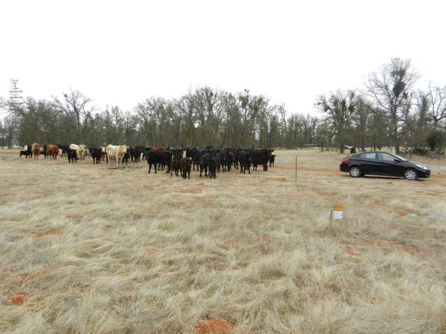 |
| 4583 | 20161006BA_Radiometers.jpg The reflected NDVI/PRI sensors have a narrow 36 deg field of view, so I tilted them from straight down to 30 deg so they can see a little more of the field than before. |
Bouldin Alfalfa | 2016-10-06 11:07:52 | 1920x1440 | COOLPIX S9100 | 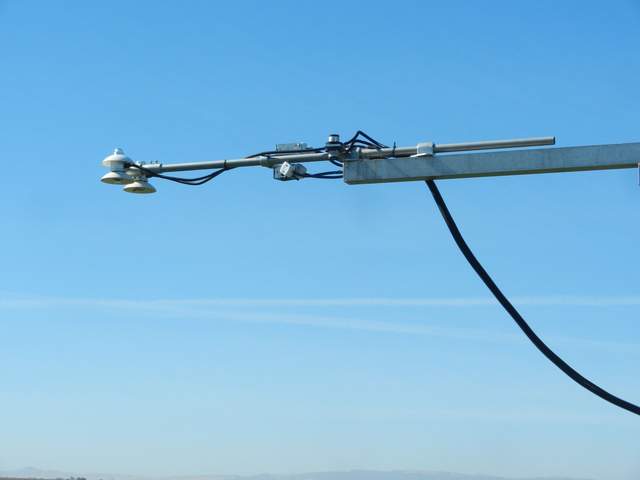 |
| 4590 | 20161020VR_ViewFromPond.jpg View from large pond northeast of our tower site. Looking downhill, we see oak savanna with green oak trees and short, brown grass on slightly rolling hills. |
Vaira | 2016-10-20 12:08:55 | 1920x1440 | COOLPIX S9100 | 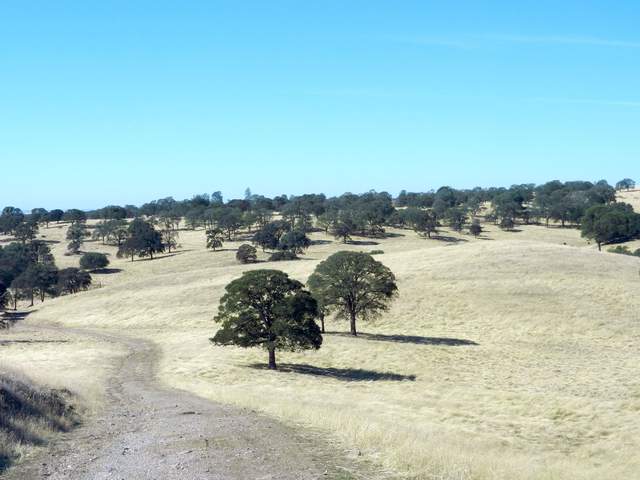 |
| 4586 | 20161020TZ_HerbSprouts.jpg Green herb sprouts starting to come up through the brown litter. There was about 90mm of rain last Friday through Sunday, but the ground surface looks dry and there was no puddles I could see. |
Tonzi | 2016-10-20 13:47:44 | 1920x1440 | COOLPIX S9100 | 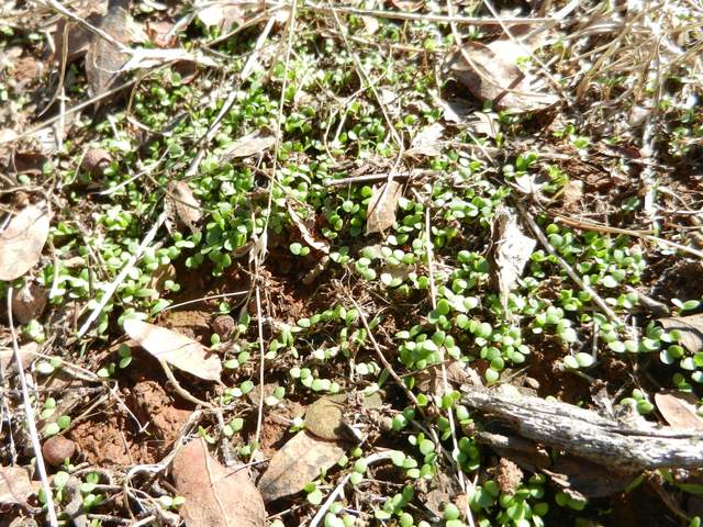 |
| 4587 | 20161020TZ_GrassSprouts.jpg 1cm tall, green grass sprouts starting to come up through the brown litter. There was about 90mm of rain last Friday through Sunday, but the ground surface looks dry and there was no puddles I could see. |
Tonzi | 2016-10-20 13:48:37 | 1920x1440 | COOLPIX S9100 | 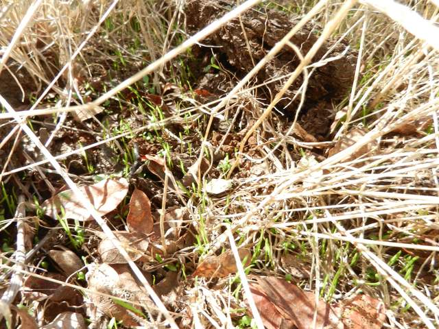 |
| 4600 | 20161108SW_Flooding.jpg Bryan said they had started to flood the wetland about two weeks ago and the water table is slowly coming up. We could see some standing water in the channels and pools around the tower. |
Sherman Wetland | 2016-11-08 16:07:39 | 1920x1440 | iPhone 6 | 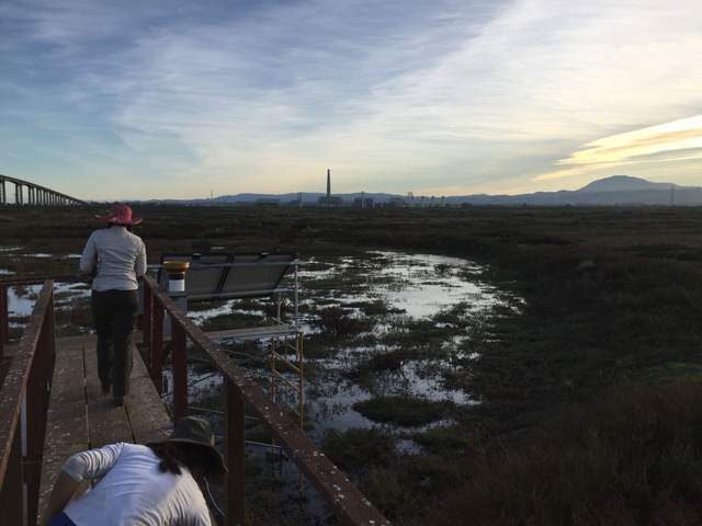 |
| 4658 | 20170404TW_notower.jpg Twitchell Rice field after the tower was removed...can hardly see there was a tower there at all. |
Twitchell Rice | 2017-04-04 12:08:21 | 3264x1836 | SGH-I337M | 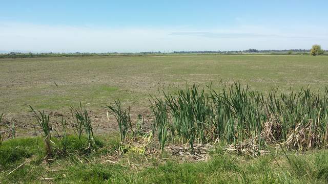 |
| 4960 | 20181203TZ_Cows.jpg Cows came to see if we would feed them |
Tonzi | 2018-12-03 11:39:15 | 1920x747 | iPhone SE | 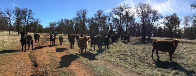 |
| 5420 | SW_T1_picam_20200622_2015.jpg Waxing crescent moon (click to see full size) |
Sherman Wetland | 2020-06-22 20:15:05 | 1917x1440 | RP_imx219 | 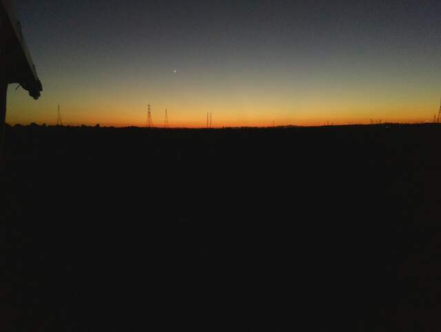 |
| 5303 | 20200805BA_AlfalfaSeedPods.jpg Alfalfa seed pods in the twice-unmowed patch under the Arable post |
Bouldin Alfalfa | 2020-08-05 17:30:57 | 1440x1920 | iPhone SE (1st generation) | 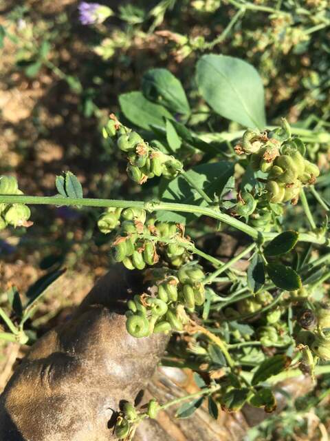 |
| 5381 | bouldincorn_2020_11_19_091505.jpg Foggy morning during the site visit. It was hard to see the highway exit. |
Bouldin Corn | 2020-11-19 09:16:12 | 1296x960 | StarDot NetCam SC | 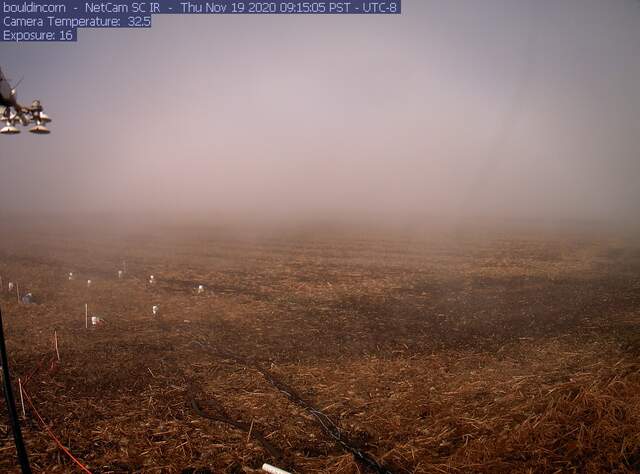 |
| 5548 | 20210616HS_LowTide.jpg At low tide you can see the high tide water lines |
Hill Slough | 2021-06-16 14:07:09 | 1920x1440 | iPhone SE (2nd generation) | 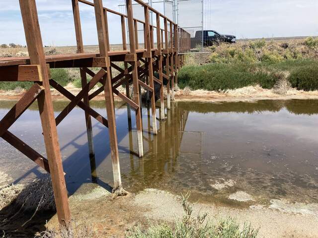 |
| 6099 | 20221019GT_Flo.jpg Robert removed all of the submerged aquatic vegetation surrounding the ADCP. We can finally see the sensor in the water! |
Gilbert Tract | 2022-10-19 11:19:23 | 1440x1920 | iPhone SE (1st generation) | 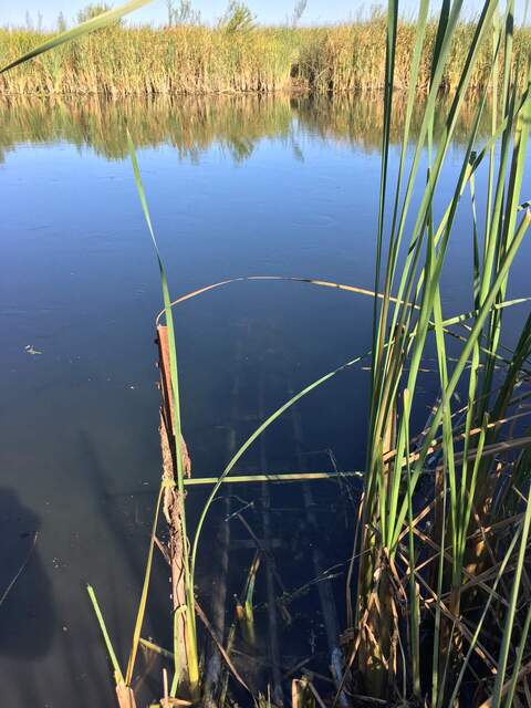 |
| 6278 | 20230403GT_TurbidChannel.jpg Turbid water in the channel, probably from all of the storms. Makes it hard to see if there's any submerged aquatic vegetation. |
Gilbert Tract | 2023-04-03 10:21:59 | 1440x1920 | iPhone SE (1st generation) | 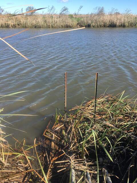 |
| 6413 | 20240216TZ_SierraSnow_SR.jpg Great lighting to see snow in the Sierras today. |
Tonzi | 2024-02-16 10:28:58 | 1920x1440 | iPhone 15 Pro | 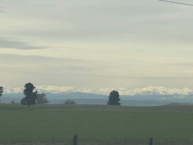 |

