
Biomet Gallery
All Photos | Site Cam Gallery | Key words
Large Photos
Page: [1] 2
| ID | Name | Location | Date | Size | Camera | Thumb |
|---|---|---|---|---|---|---|
| 1617 | 20081105TW_NorthFootBridge.jpg |
Twitchell Rice | 2008-11-05 15:55:38 | 1536x2048 | Canon PowerShot S1 IS |  |
| 1684 | 20090914TW_KiteNorthOfTower.jpg |
Twitchell Rice | 2009-09-14 12:17:51 | 2048x1536 | Canon PowerShot S1 IS |  |
| 1683 | 20090906TW_RadBoomNorth.jpg |
Twitchell Rice | 2009-10-06 14:46:49 | 2048x1536 | Canon PowerShot S1 IS |  |
| 1706 | 20091015TW_Field1NorthNW.jpg |
Twitchell Rice | 2009-10-15 13:04:59 | 2048x1536 | Canon PowerShot S1 IS |  |
| 1707 | 20091015TW_Field1NorthSW.jpg |
Twitchell Rice | 2009-10-15 13:05:14 | 2048x1536 | Canon PowerShot S1 IS |  |
| 1744 | 20091124TW_TowerFromNorth.jpg |
Twitchell Rice | 2009-11-24 12:38:52 | 2048x1536 | Canon PowerShot S1 IS | 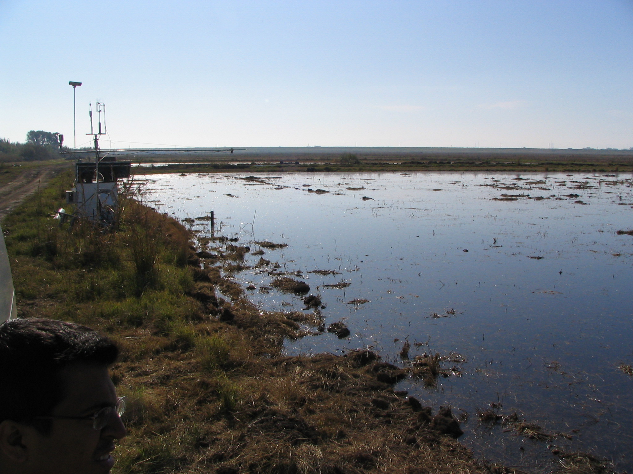 |
| 331 | 20100406SL_TowerViewNorth.jpg Dennis and Matteo at levee tower site |
Sherman Levee | 2010-04-06 14:33:19 | 2048x1536 | Canon PowerShot S1 IS | 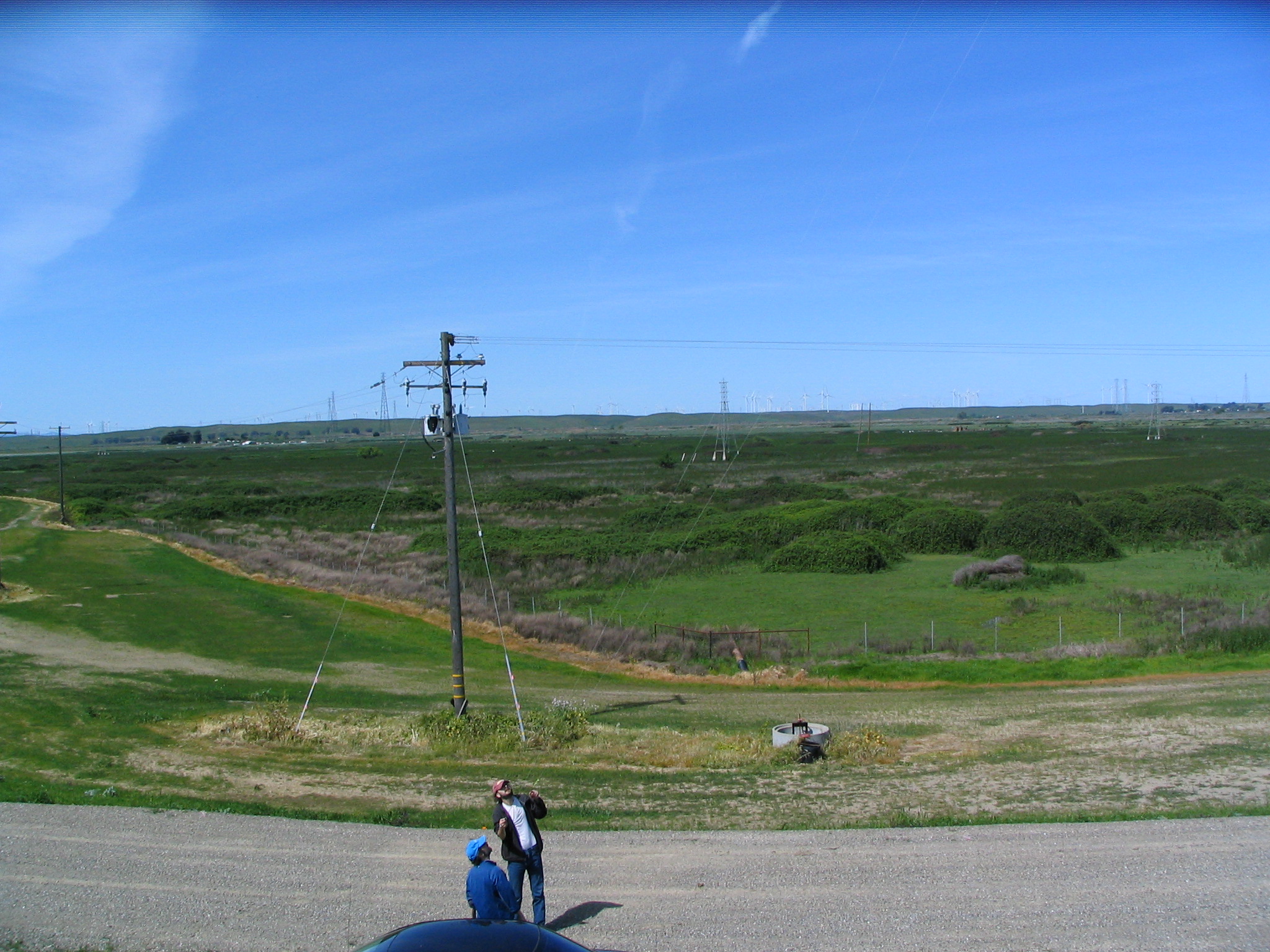 |
| 87 | 20100603TW_FieldNorth.jpg caption |
Twitchell Rice | 2010-06-03 10:47:44 | 3648x2736 | Canon PowerShot A480 |  |
| 51 | 20100701SI_FieldNorth.jpg Looking northwest at Jaclyn working on the soil CO2 sensors. |
Sherman Island | 2010-07-01 09:03:50 | 3648x2736 | Canon PowerShot A480 | 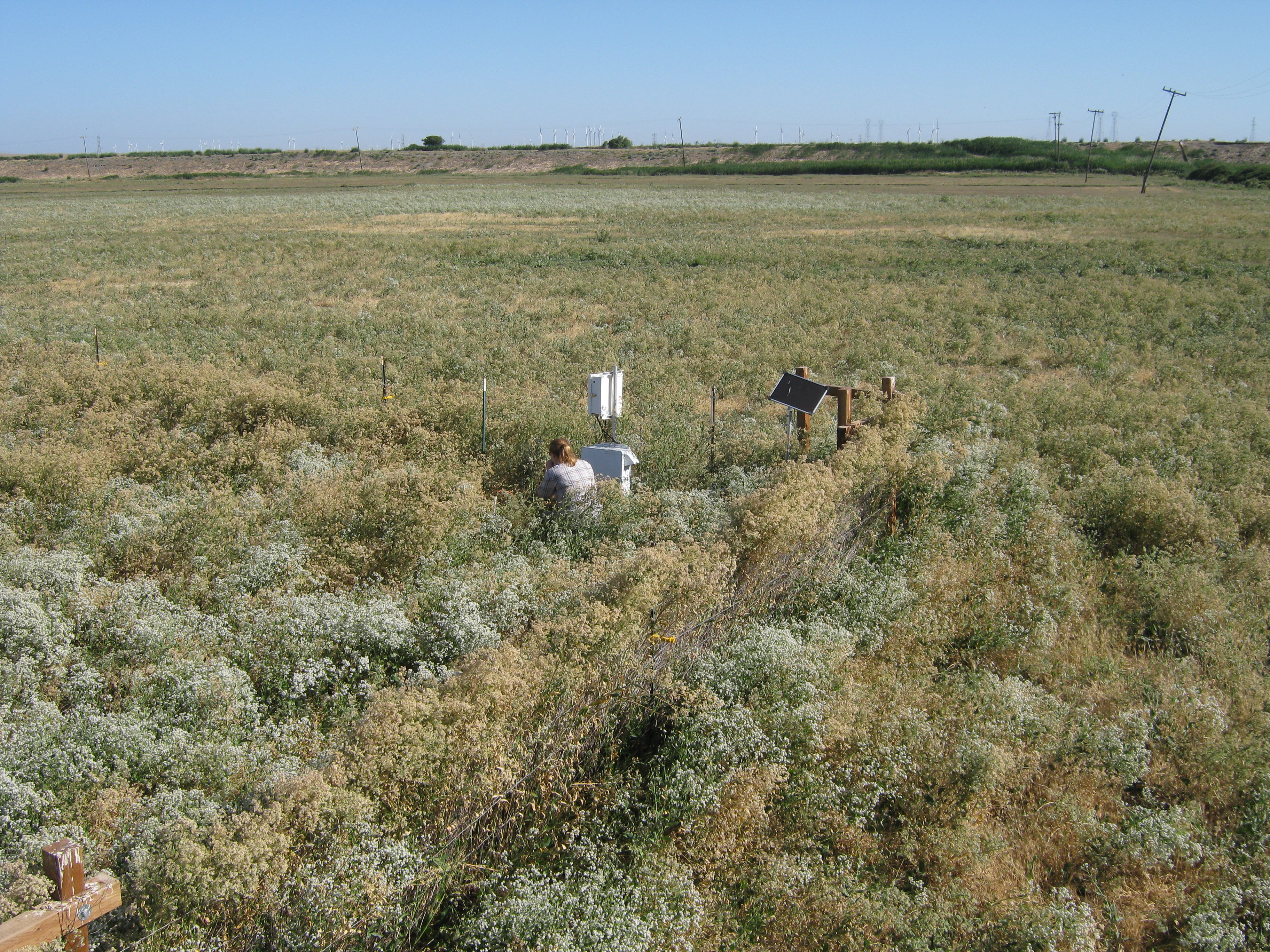 |
| 64 | 20100714SI_TowerLookingNorth.jpg View of Sherman pasture dominated by flowering pepper weed |
Sherman Island | 2010-07-14 10:17:38 | 3648x2736 | Canon PowerShot A480 | 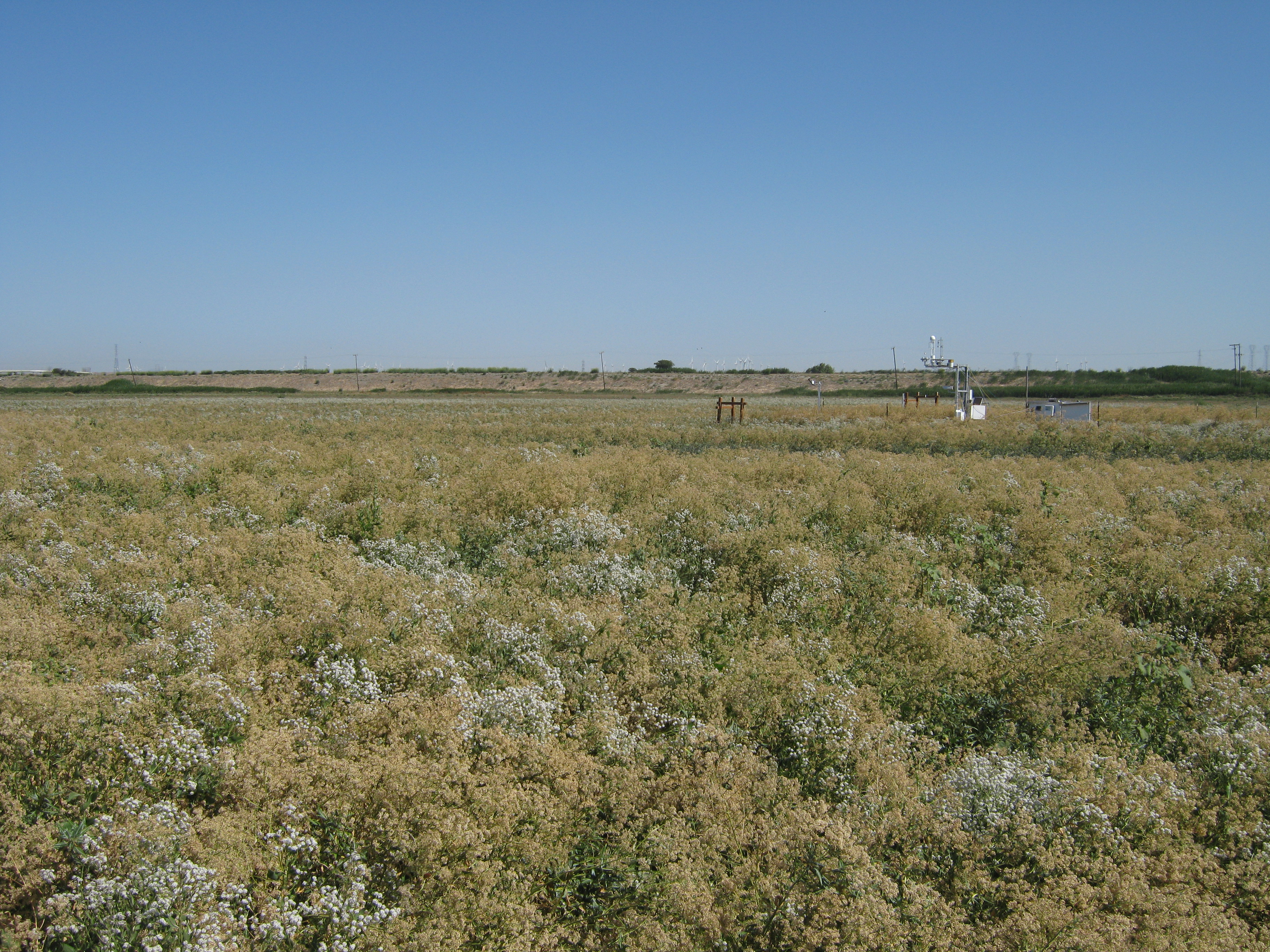 |
| 257 | 20100902TZ_SapFlowNorthLookingS.jpg caption |
Tonzi | 2010-09-02 12:28:58 | 3648x2736 | Canon PowerShot A480 |  |
| 256 | 20100902TZ_SapFlowNorthLookingN.jpg caption |
Tonzi | 2010-09-02 12:29:56 | 3648x2736 | Canon PowerShot A480 | 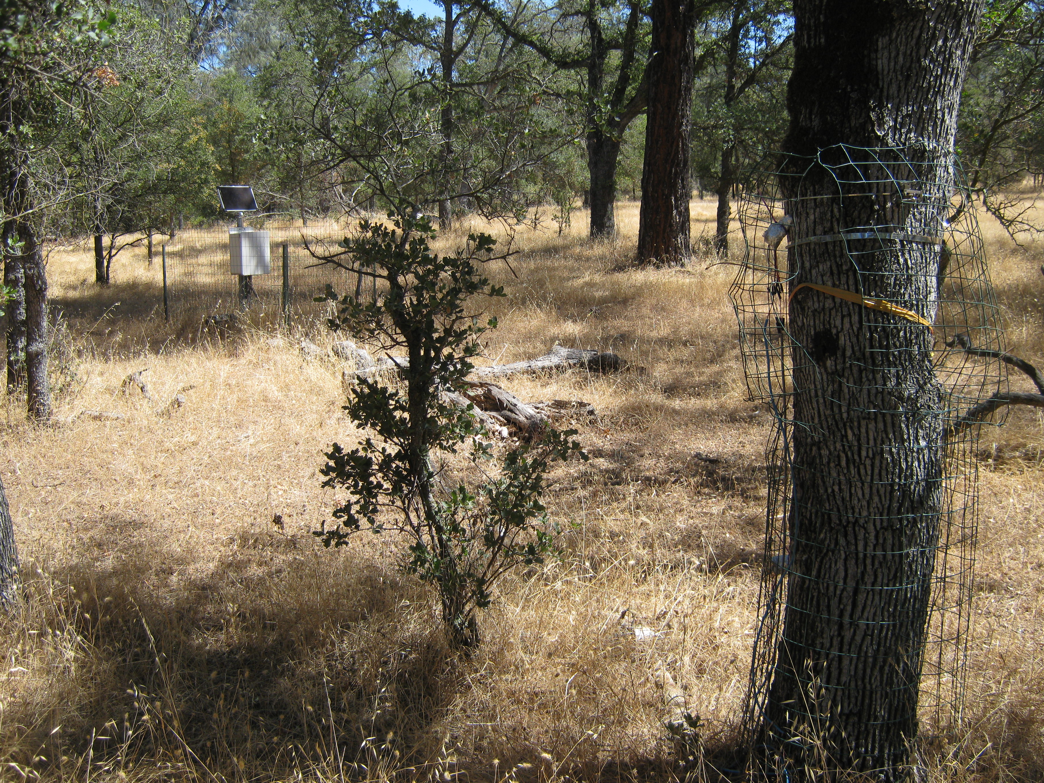 |
| 655 | MB_autocam_20110208_1545.jpg Heavy wind from the north ~20mph |
Mayberry | 2011-02-08 15:45:02 | 3648x2736 | Canon PowerShot A480 |  |
| 656 | MB_autocam_20110226_1545.jpg Guessing average wind from the north. |
Mayberry | 2011-02-26 15:45:02 | 3648x2736 | Canon PowerShot A480 |  |
| 1012 | 20110426MB_Tules.jpg View of the tule patch north on the Mayberry tower |
Mayberry | 2011-04-26 13:35:14 | 2560x1920 | DMC-TZ1 |  |
| 1793 | 20110929MB_Herons.jpg Great white heron to the north of the tule tower |
Mayberry | 2011-09-29 11:46:20 | 3648x2736 | Canon PowerShot A480 | 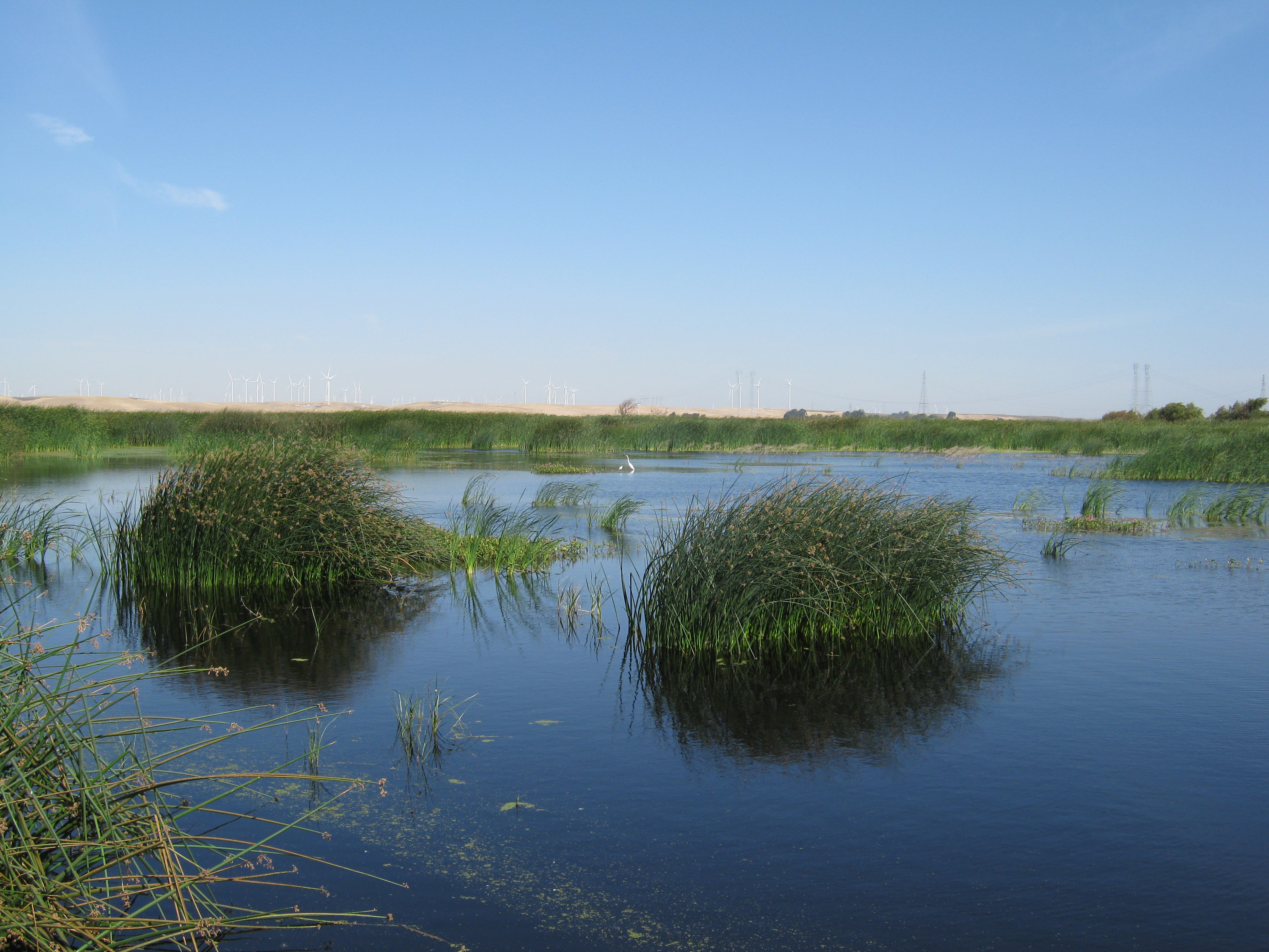 |
| 1791 | 20110929MB_FireToNorth.jpg Smoke to the north |
Mayberry | 2011-09-29 14:19:33 | 3648x2736 | Canon PowerShot A480 | 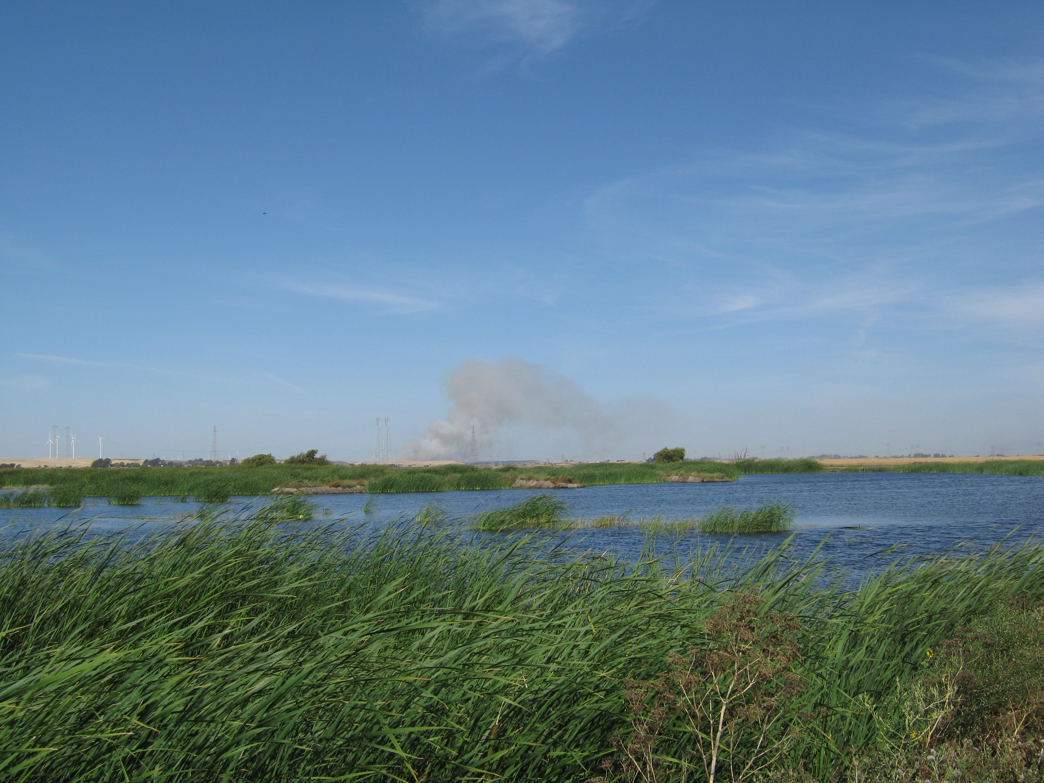 |
| 1814 | 20111026VR_HillsToNorth.jpg |
Vaira | 2011-10-26 10:20:57 | 2048x1536 | COOLPIX S9100 | 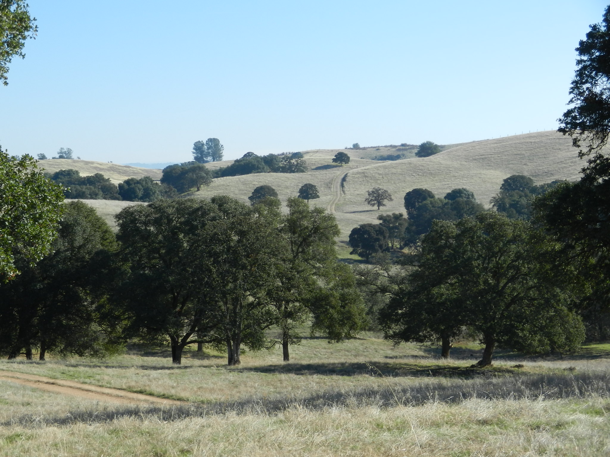 |
| 1838 | 20111102TW_Chopping1.jpg Mowing north check of Field 1 |
Twitchell Rice | 2011-11-02 09:20:51 | 2048x1536 | COOLPIX S9100 | 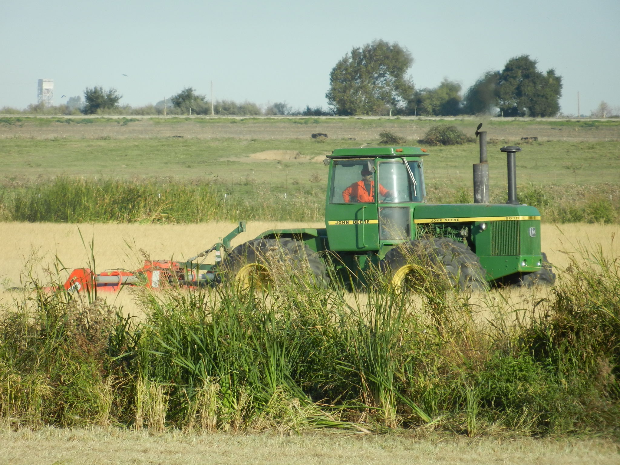 |
| 1839 | 20111102TW_Chopping2.jpg Mowing north check of Field 1 |
Twitchell Rice | 2011-11-02 09:23:30 | 2048x1536 | COOLPIX S9100 | 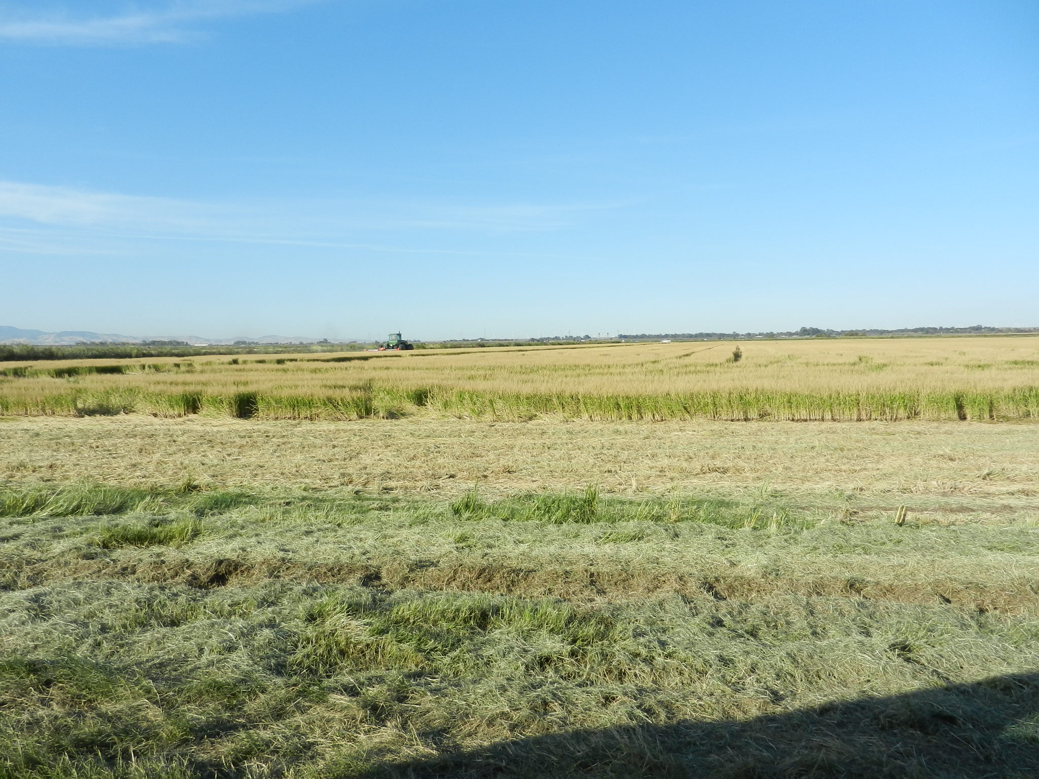 |
| 1840 | 20111102TW_Chopping3.jpg Mowing north check of Field 1 |
Twitchell Rice | 2011-11-02 09:23:41 | 2048x1536 | COOLPIX S9100 | 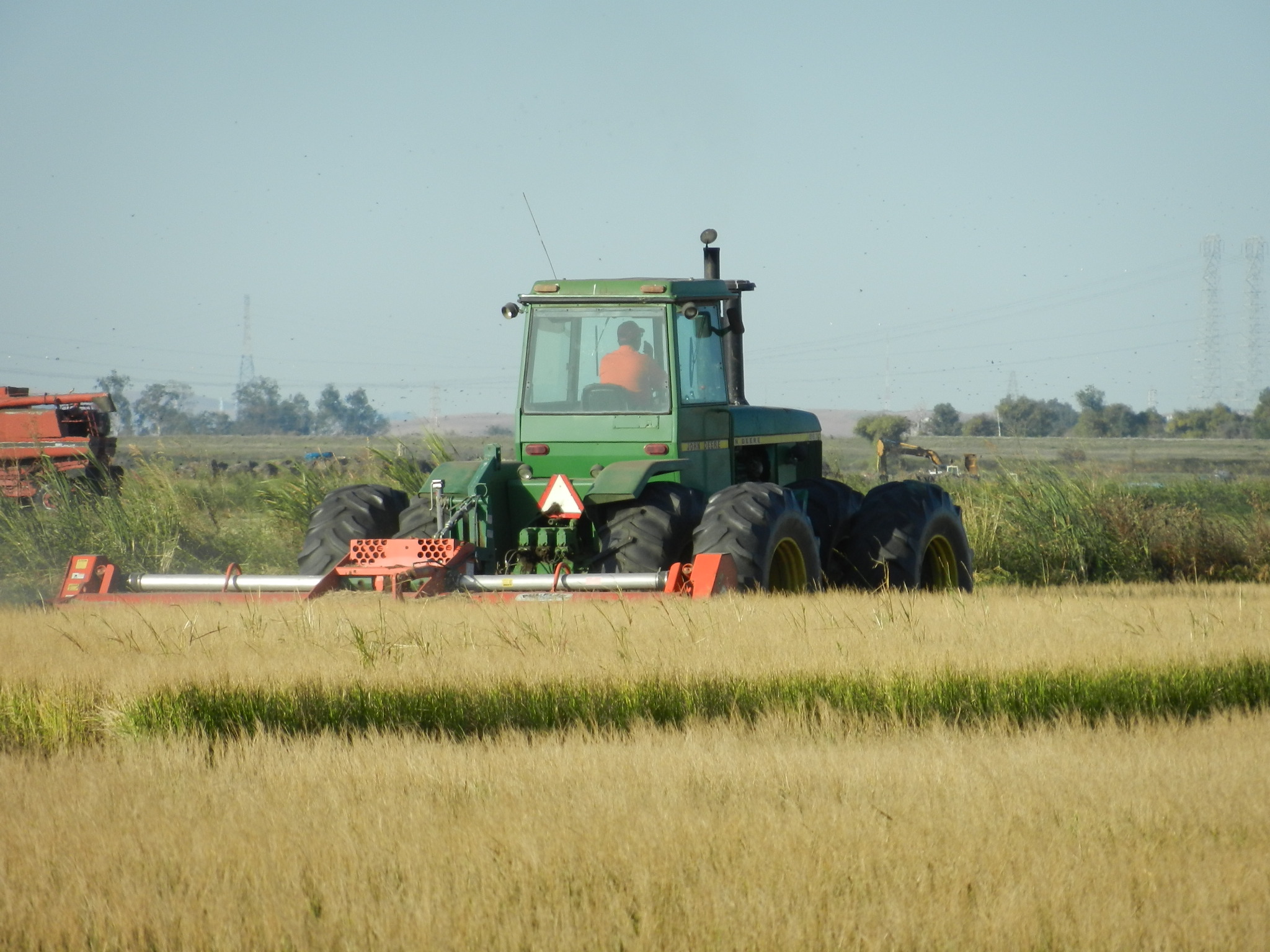 |
| 1966 | 20111108TW_FloodedNorthCheck.jpg |
Twitchell Rice | 2011-11-08 11:02:21 | 4000x3000 | COOLPIX S9100 | 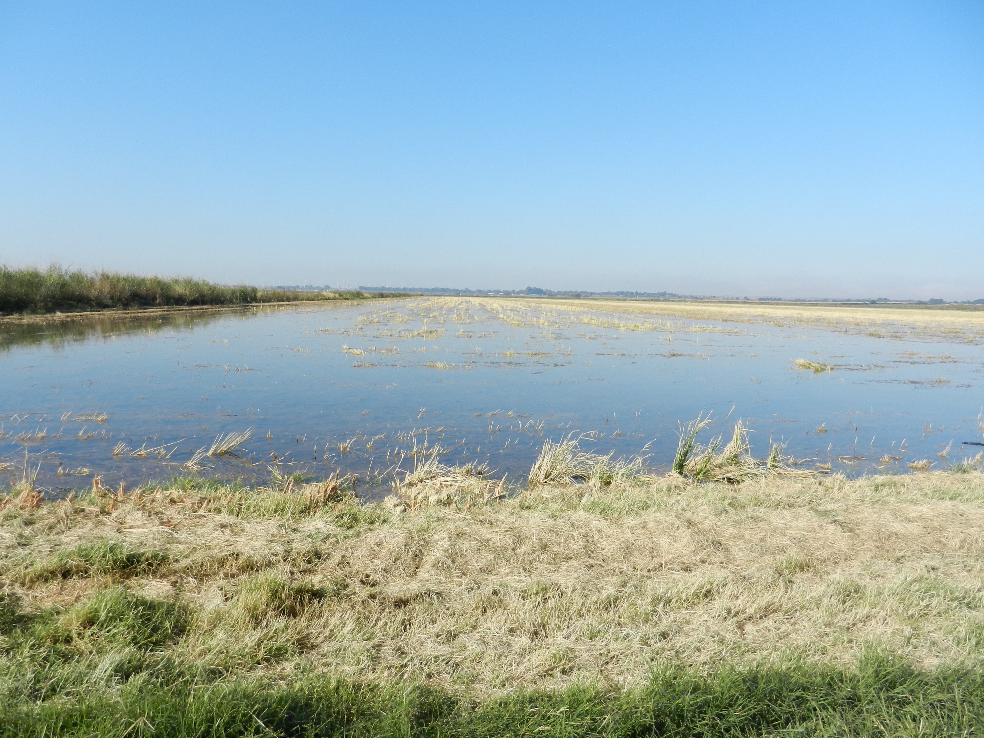 |
| 2108 | 20111214MB_Site.jpg View of the wetland from the levee north of Mayberry Slough |
Mayberry | 2011-12-14 14:30:59 | 4000x3000 | COOLPIX S9100 | 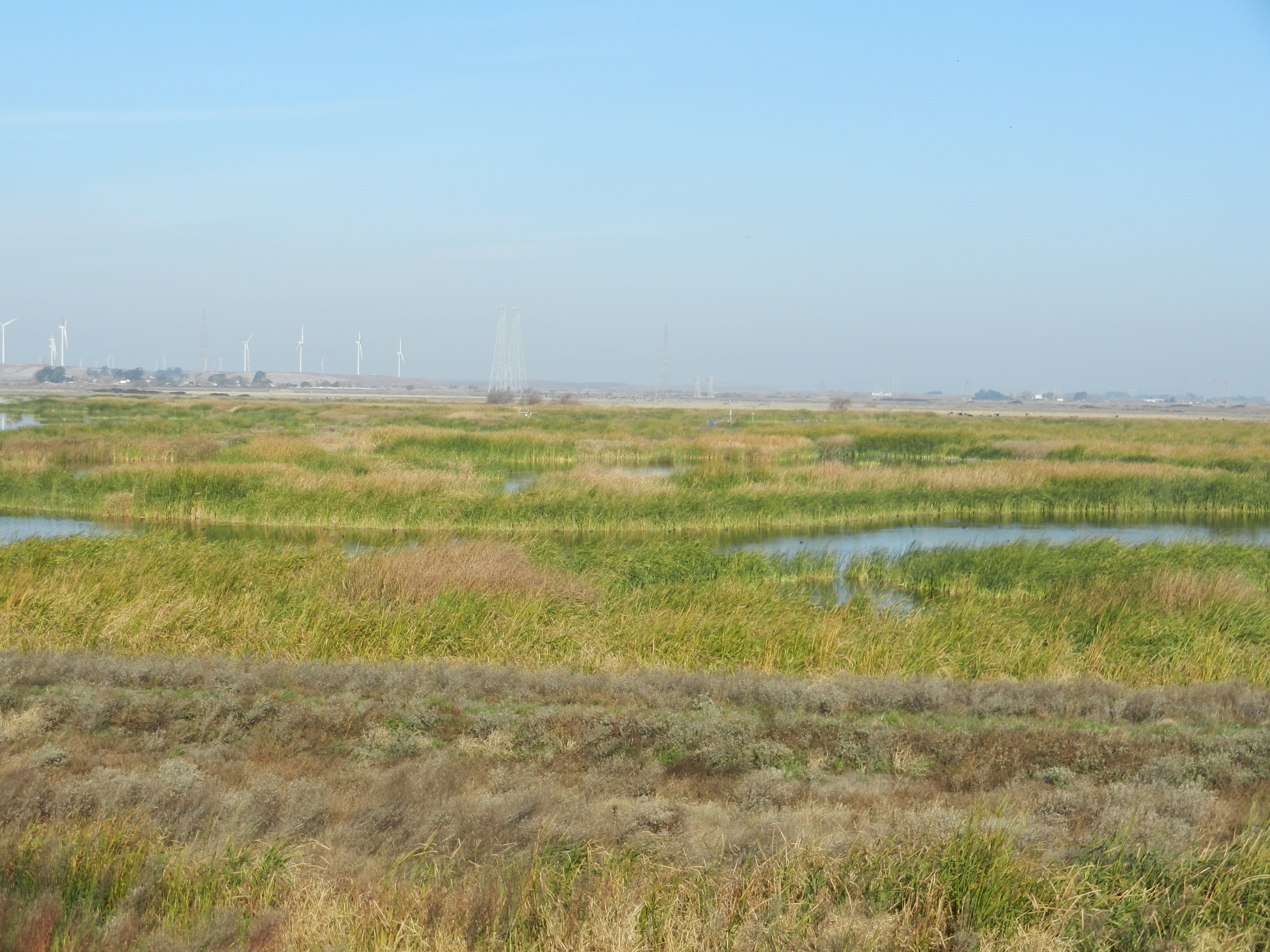 |
| 2106 | 20111214MB_MainTowerZoom.jpg View of the main tower from the levee north of Mayberry Slough |
Mayberry | 2011-12-14 14:31:14 | 4000x3000 | COOLPIX S9100 |  |
| 2111 | 20111214MB_TuleTowerZoom.jpg View of the Tule Tower from the levee north of Mayberry Slough |
Mayberry | 2011-12-14 14:31:22 | 4000x3000 | COOLPIX S9100 |  |
| 2266 | 20120321VR_SoilCO2North.jpg |
Vaira | 2012-03-21 11:10:05 | 4000x3000 | COOLPIX S9100 |  |
| 2852 | 20120822VR_SiyanTowerNorth.jpg |
Vaira | 2012-08-22 11:42:08 | 1920x1440 | COOLPIX S9100 |  |
| 2946 | 20120927TW_RiceField.jpg The rice is beginning to look good north east of tower. |
Twitchell Rice | 2012-09-27 12:57:09 | 1920x1440 | COOLPIX S9100 | 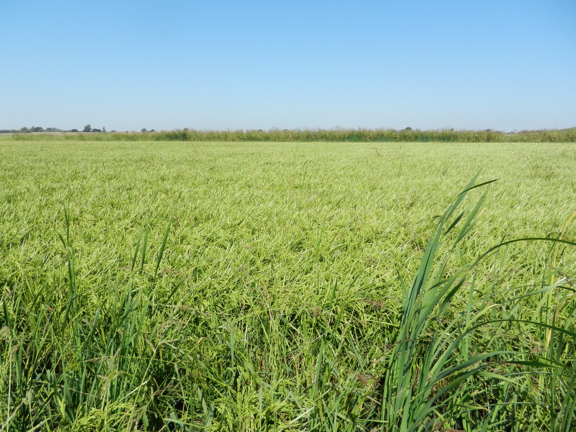 |
| 3036 | 20121030TW_CornNorthofPonds.jpg |
Twitchell Rice | 2012-10-30 12:01:22 | 1920x1440 | COOLPIX S9100 | 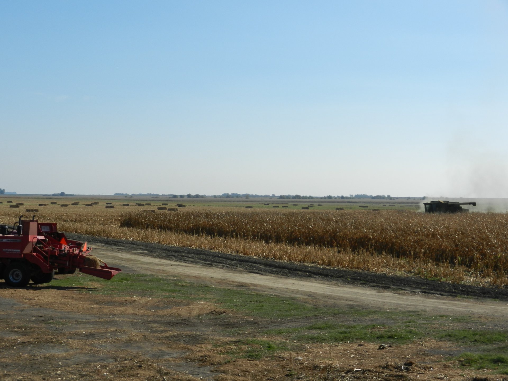 |
| 3258 | WP_autocam_20130208_1445.jpg Tractor in the fields to the north |
West Pond | 2013-02-08 14:45:02 | 1920x1440 | Canon PowerShot A800 | 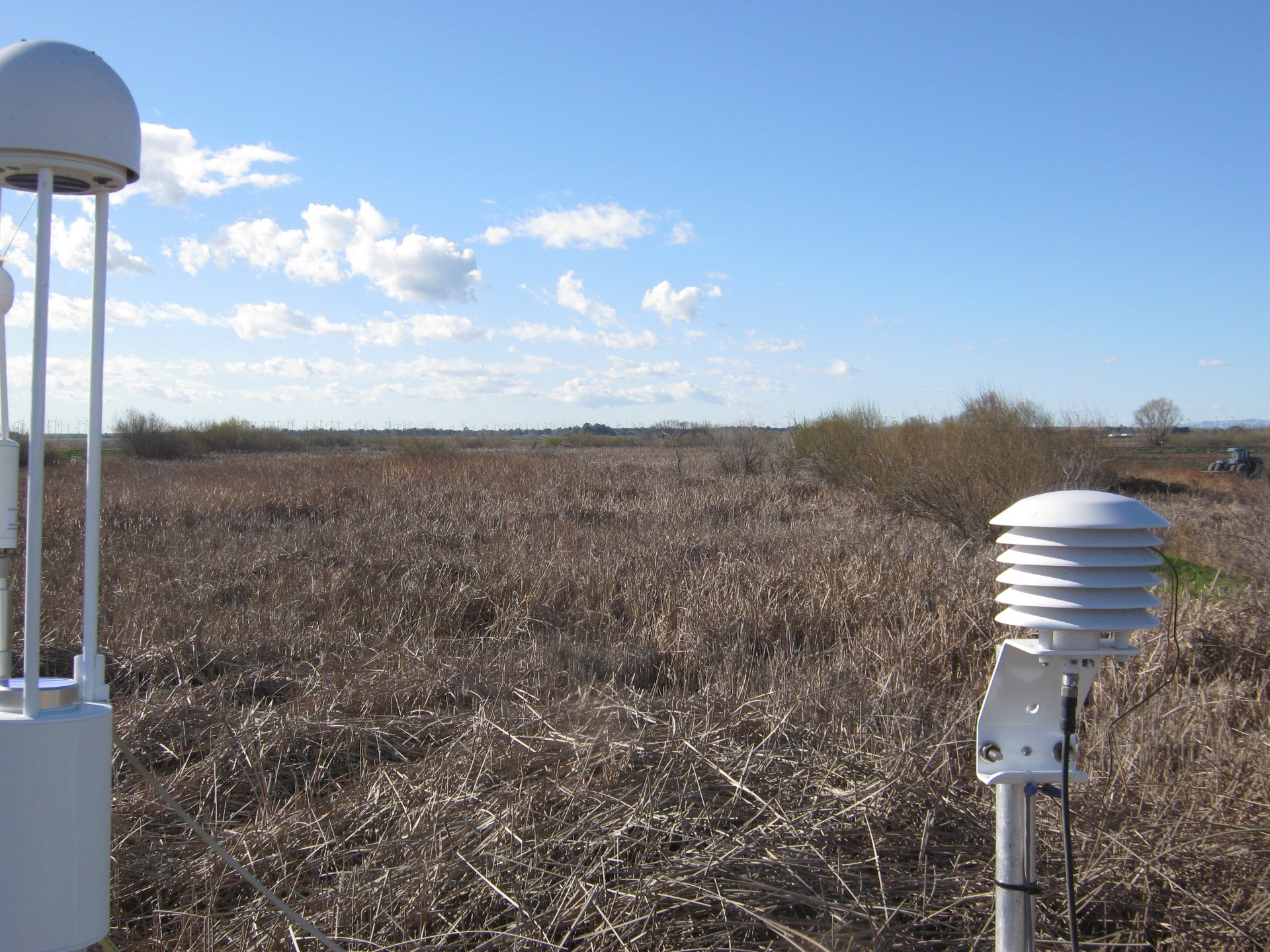 |
| 4230 | 20150521MB_ViewNorth.jpg View to the north of the Tower |
Mayberry | 2015-05-21 09:23:22 | 2560x1440 | SM-G900T | 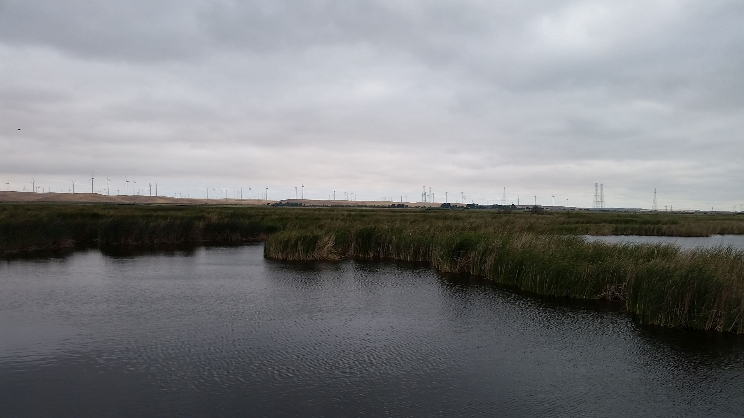 |
| 4431 | 20160413TW_SonicHeading_tn.jpg Sonic heading after moving the tower out of the field is 286 degrees from true North |
Twitchell Rice | 2016-04-13 15:31:01 | 1920x1440 | COOLPIX S9100 | 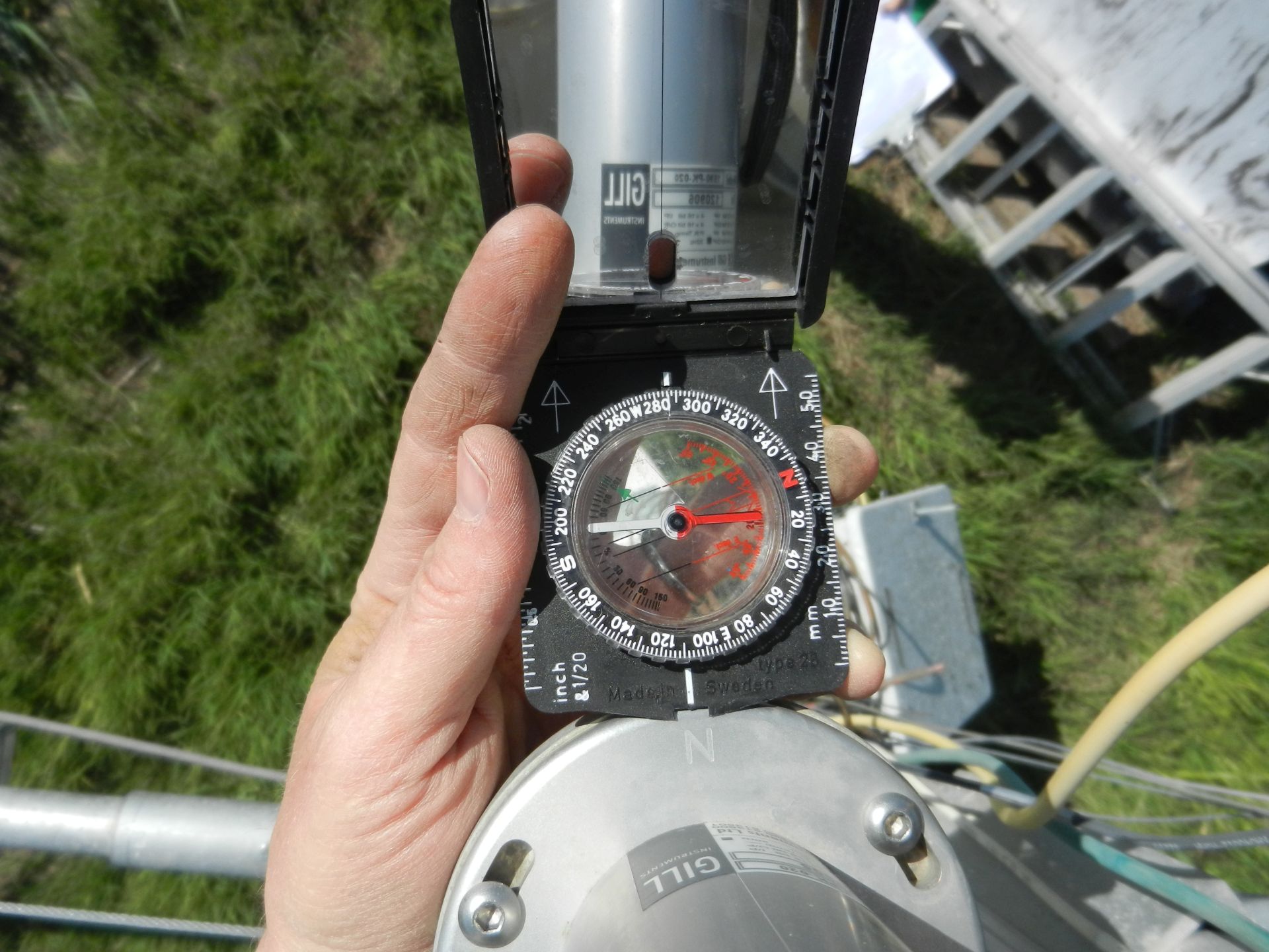 |
| 4525 | 20160706SW_SonicHeading_tn.jpg Sonic heading is 9 degrees from true north |
Sherman Wetland | 2016-07-06 09:39:24 | 1920x1440 | unknown |  |
| 4521 | 20160707TZ_TowerSonicHeading_tn.jpg Sonic heading is 74 degrees (east) from true north |
Tonzi | 2016-07-07 12:40:10 | 1920x1440 | COOLPIX S9100 | 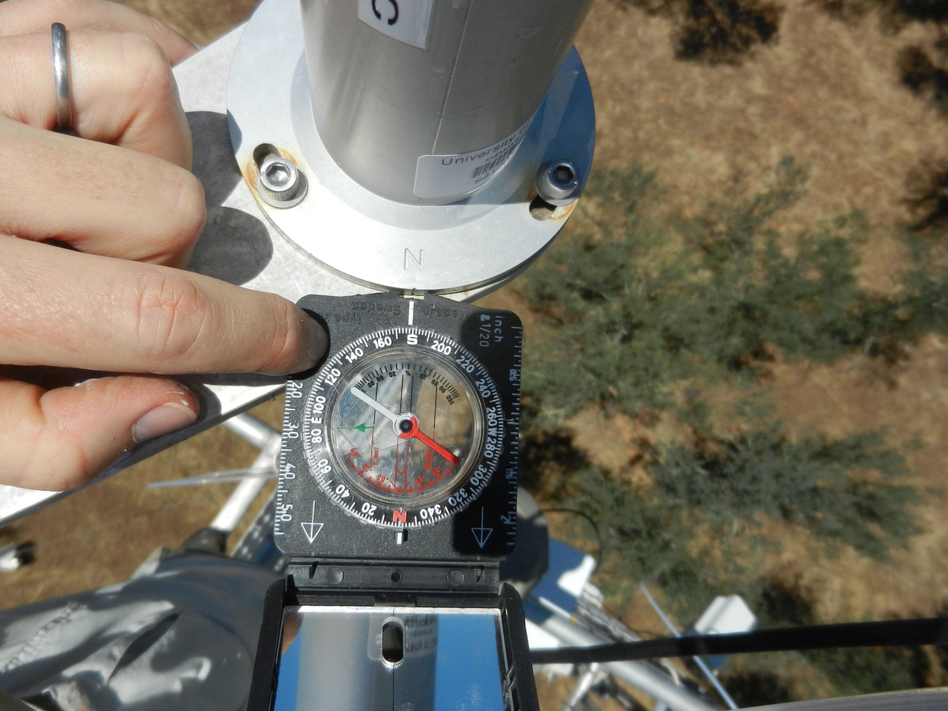 |
| 4582 | 20161006BA_CranesZoom.jpg A big flock of sandhill cranes on some of the fields to the north of our alfalfa field on Bouldin Island |
Bouldin Alfalfa | 2016-10-06 09:39:58 | 1920x1440 | COOLPIX S9100 | 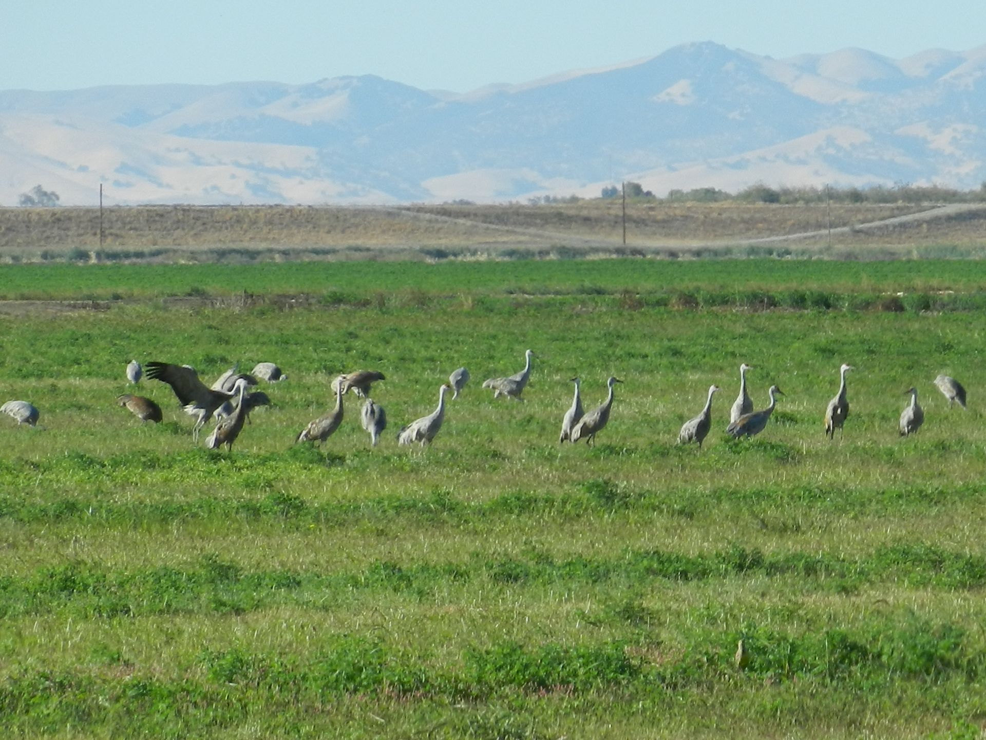 |
| 4591 | 20161026TA_NewTowerLoc1.jpg We moved the tower and solar panels in the alfalfa field to just to the north of the soil sensors. |
Twitchell Alfalfa | 2016-10-26 14:20:58 | 1920x1080 | SGH-I337M |  |
| 4592 | 20161026TA_NewTowerLoc2.jpg We moved the tower and solar panels in the alfalfa field to just to the north of the soil sensors. |
Twitchell Alfalfa | 2016-10-26 14:57:04 | 1920x1080 | SGH-I337M |  |
| 6717 | 20161026TA_TowerMoved.jpg We moved the tower and solar panels in the alfalfa field to just to the north of the soil sensors |
Twitchell Alfalfa | 2016-10-26 14:58:24 | 1920x1440 | iPhone SE | 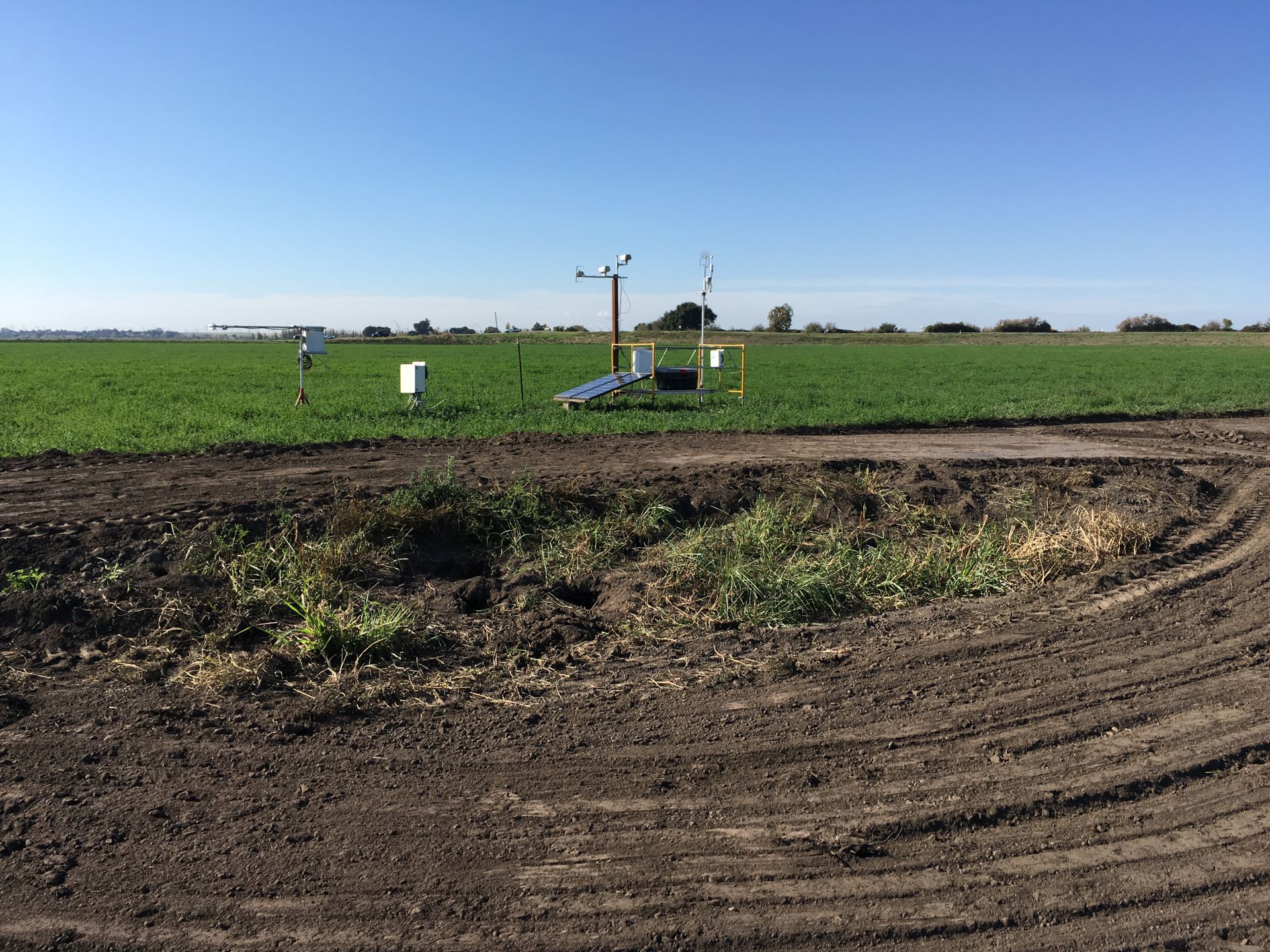 |
| 4664 | 20170420BC_FacingNorth.jpg Field to the north |
Bouldin Corn | 2017-04-20 09:52:20 | 1920x1080 | SGH-I337M | 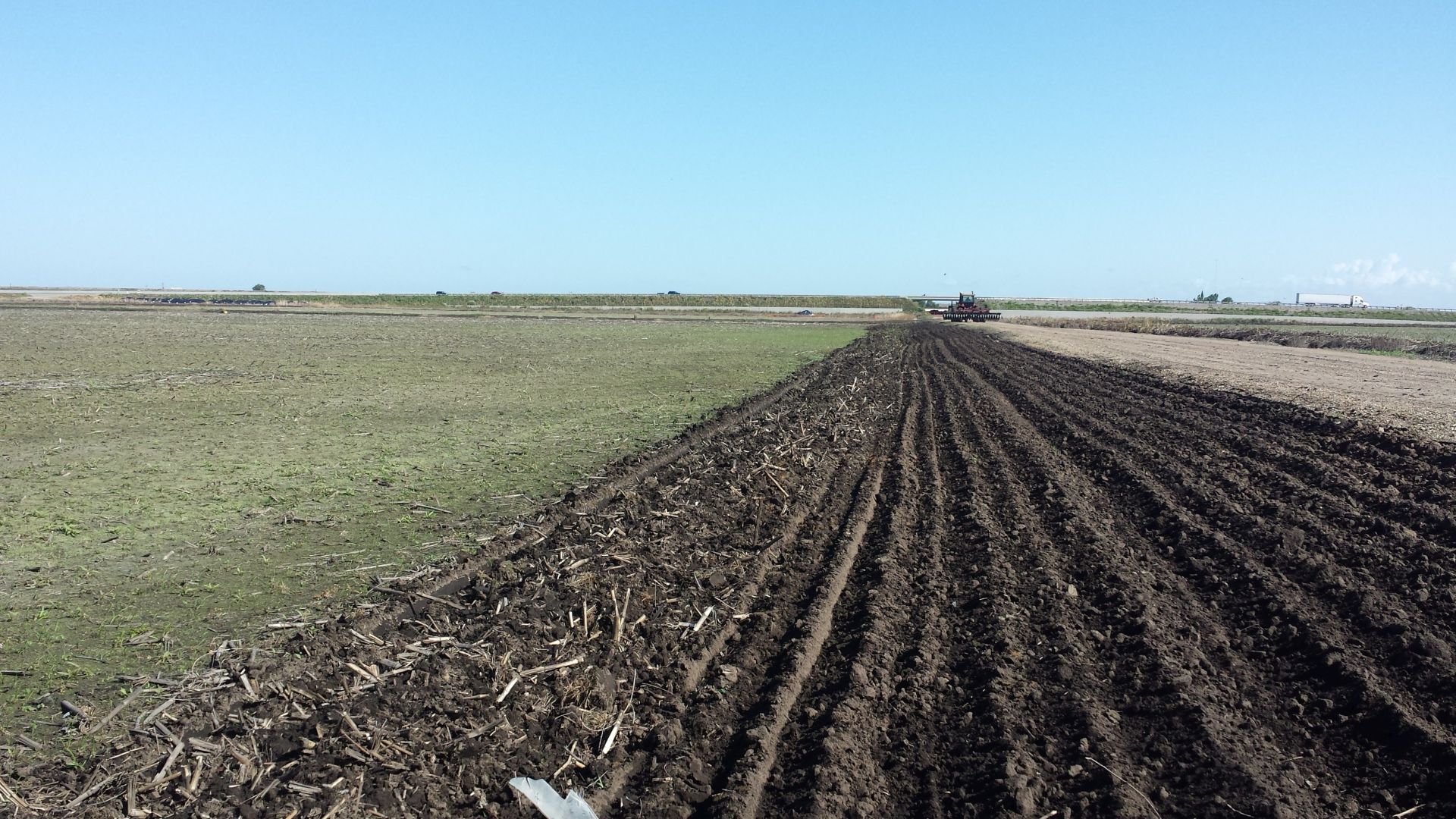 |
| 4663 | 20170420BC_FacingNorthWest.jpg Field to the west - dominant wind direction |
Bouldin Corn | 2017-04-20 09:52:26 | 1920x1080 | SGH-I337M | 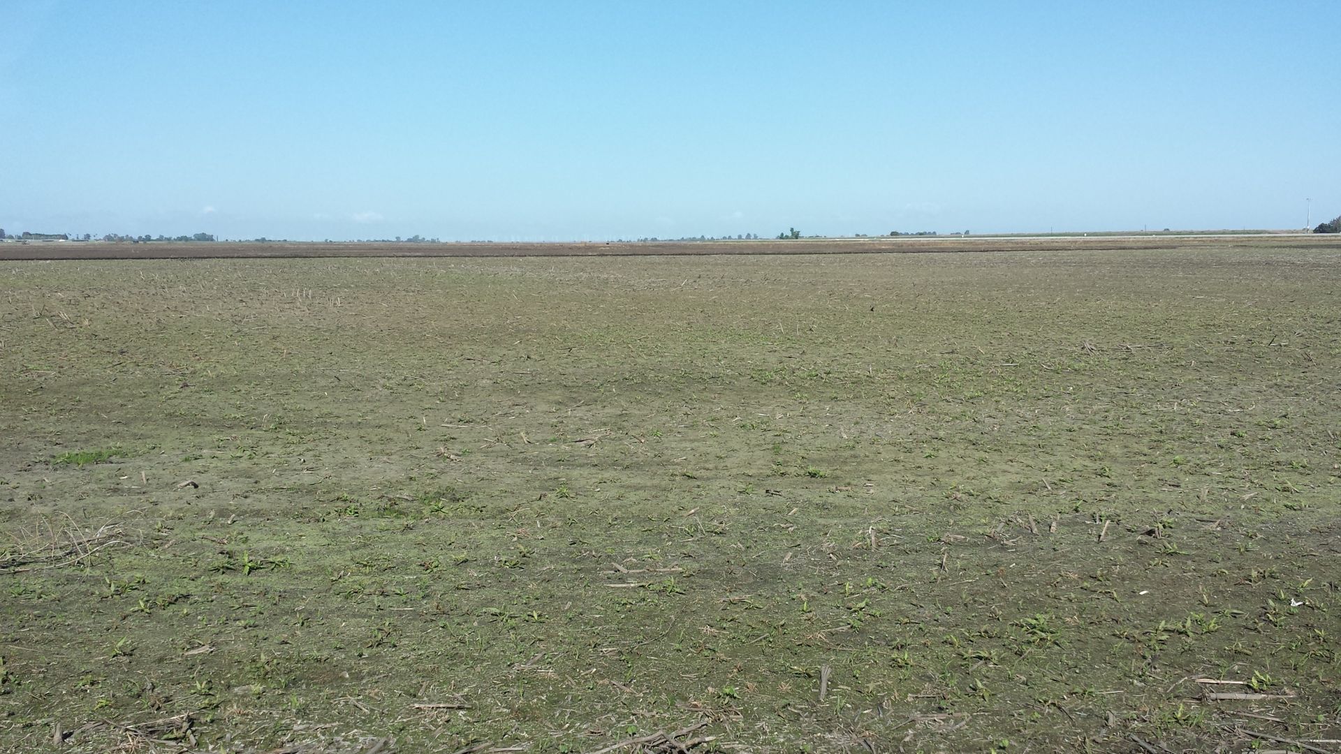 |
| 4670 | 20170426BC_Trench.jpg We used a rented trencher to dig a 12in deep trench from the northwest corner of the porch, just past the end of a north-south drainage ditch to the tower location. It crosses both roads at a diagonal. The power cable (two conductor #10 with ground UF-B direct burial cable) is in 3/4in plastic conduit at the bottom of the trench. |
Bouldin Corn | 2017-04-26 12:48:29 | 1440x1920 | iPhone SE | 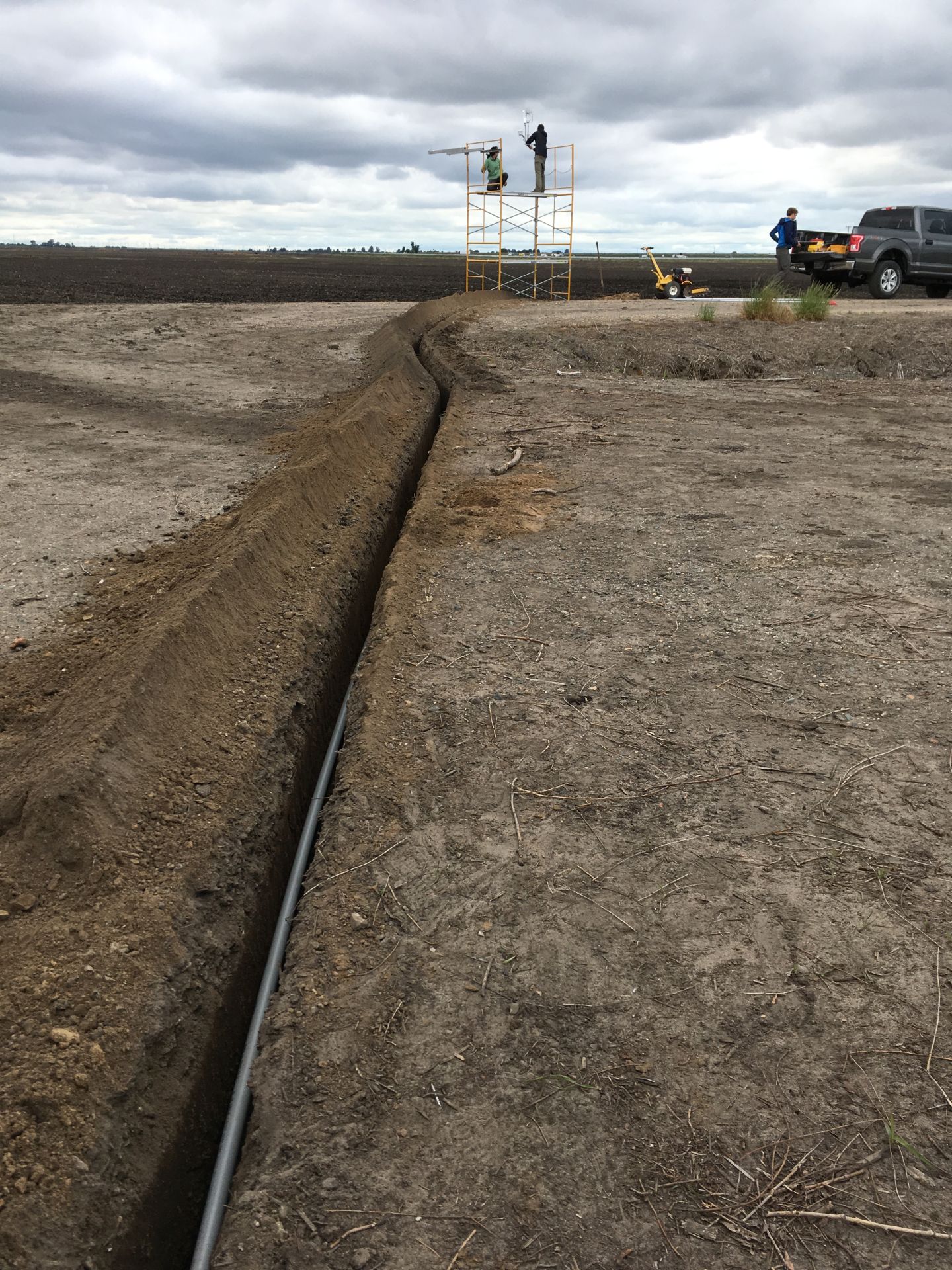 |
| 4718 | 20170907TZ_north.JPG View of Tonzi oak savanna, looking north from the tower, with mostly green oak/pine trees and bright yellow grass underneath |
Tonzi | 2017-09-07 12:37:40 | 1920x1440 | iPhone SE | 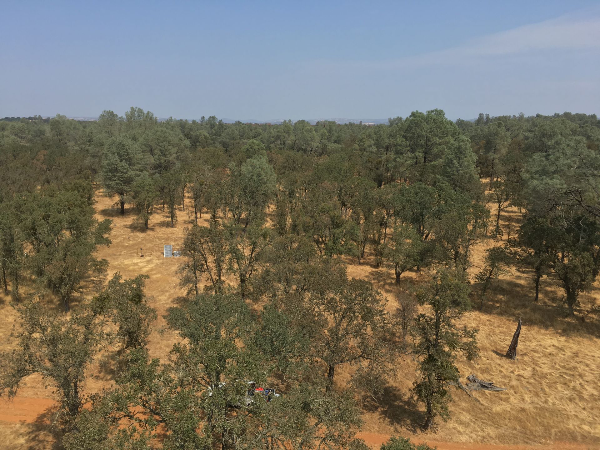 |
| 4870 | 20180601TZ_FLIRSetup.jpg Miriam's FLIR thermal camera set up near the Floor Well looking north |
Tonzi | 2018-06-01 17:00:39 | 1920x1440 | DSC-W120 |  |
| 4882 | 20180718VR_BurnEastOfPond.jpg Irish Fire on July 6th, 2018 burned north and east of the pond at |
Vaira | 2018-07-18 00:00:00 | 1200x800 | iPhone 6 |  |
| 4881 | 20180718VR_BurnNorthOfPond.jpg Irish Fire on July 6th, 2018 burned north and east of the pond at Varia. |
Vaira | 2018-07-18 12:51:36 | 1200x800 | iPhone 6 | 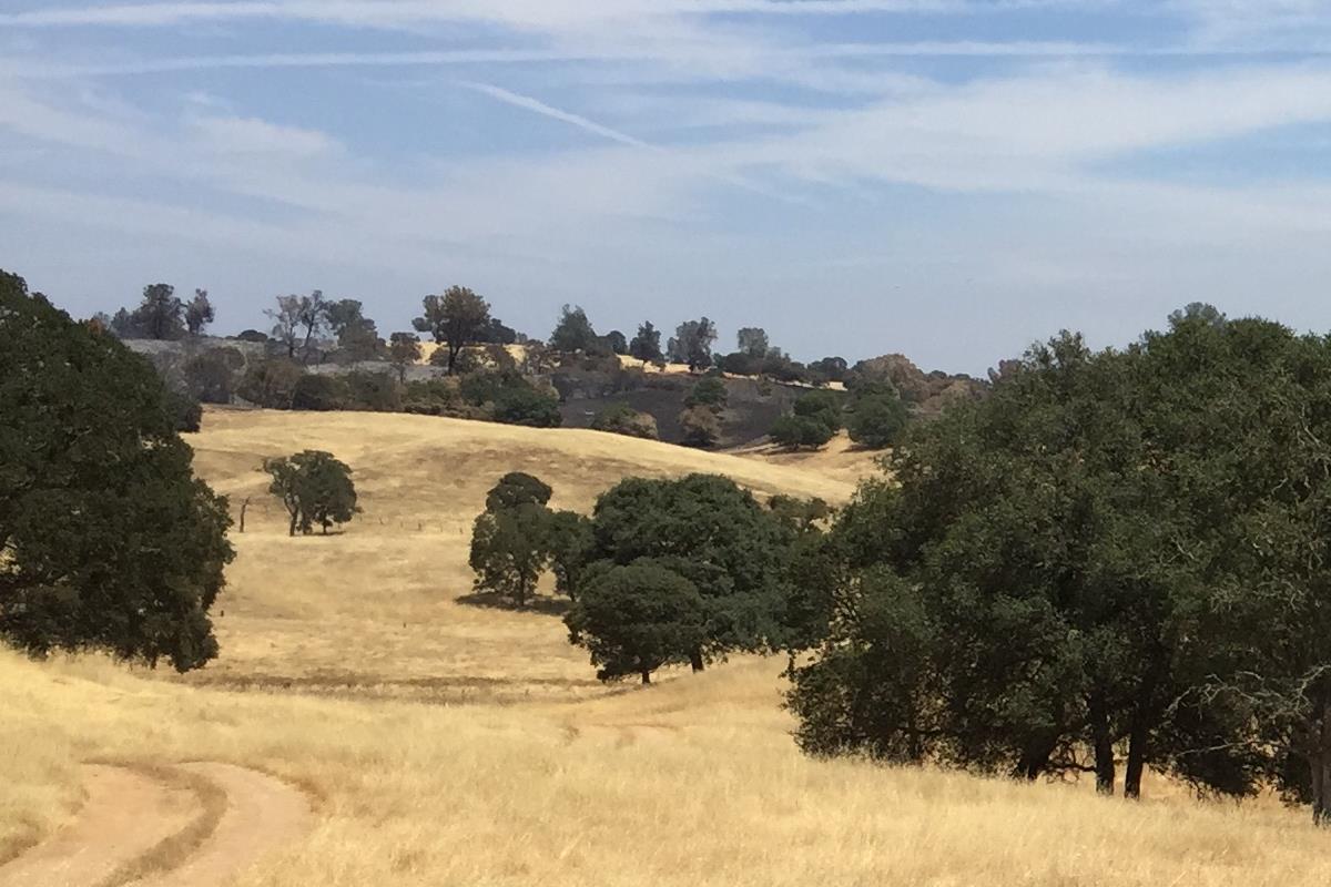 |
| 4961 | 20190103SB_7700TiltByWind.jpg The 7700 was tilted by strong north wind |
Sherman Barn | 2019-01-03 09:07:36 | 1440x1920 | iPhone SE |  |
| 5031 | 20190430TZ_FringePod-Thysanocarpus_radians_1.jpg Thysanocarpus radians, a dicot, is an annual herb that is native to California, is also found outside of California, but is confined to western North America |
Tonzi | 2019-04-30 14:00:00 | 1920x1440 | GooglePhotoScan | 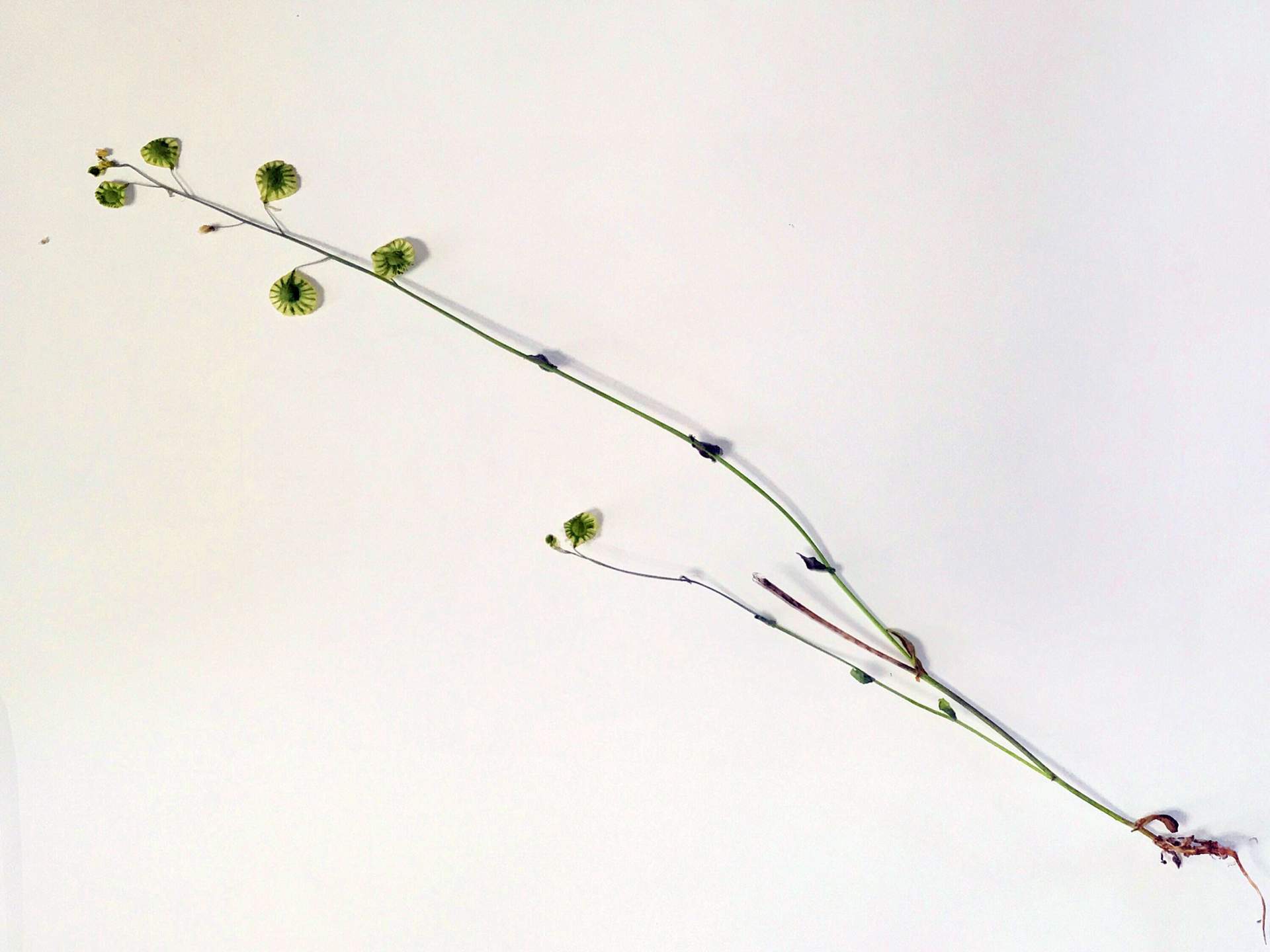 |
| 5032 | 20190430TZ_FringePod-Thysanocarpus_radians_3.jpg Thysanocarpus radians, a dicot, is an annual herb that is native to California, is also found outside of California, but is confined to western North America |
Tonzi | 2019-04-30 14:40:03 | 1440x1920 | iPhone SE | 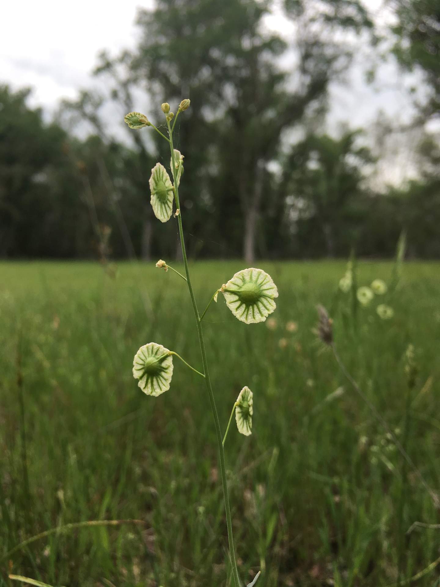 |
| 5172 | 20200107MB_PondScum.jpg Interesting pond scum floating to the north at Mayberry |
Mayberry | 2020-01-07 00:00:00 | 1920x1322 | iPhone SE |  |
| 5526 | 20210408SW_OrangeBiofilm.jpg There was a bright orange biofilm growing on the north levee side of SW |
Sherman Wetland | 2021-04-08 00:00:00 | 1440x1920 | iPhone 12 |  |