Biomet Gallery
All Photos | Site Cam Gallery | Key words
View Details
Page: [1]
1458 DSCN0037.JPG (2007-04-27 11:27:08 ) Full size: 2048x1536
Below KZ measurement. We are measuring albedo and upward longwave radiation of this heterogeneity
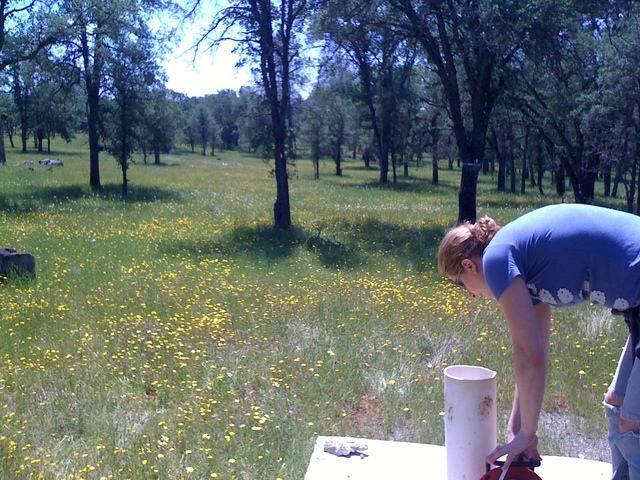
122 TZ_IMG_0491.jpg (2010-05-13 12:59:34 ) Full size: 1600x1200
Melanie measuring well level
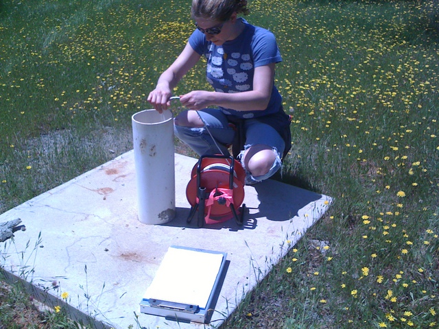
124 TZ_IMG_0493.jpg (2010-05-13 13:00:00 ) Full size: 1600x1200
Melanie measuring well level
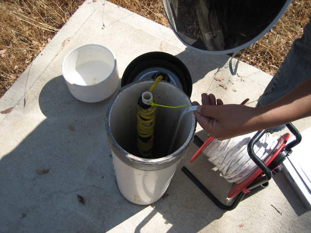
421 TZ_064.jpg (2010-10-07 20:11:15 ) Full size: 2592x1944
Measuring water level in the well
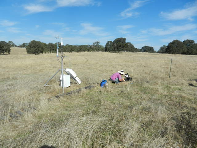
1802 20111013VR_SiyanTower.jpg (2011-10-13 10:26:59 ) Full size: 4000x3000
Varia eddy tower and Siyan measuring soil moisture
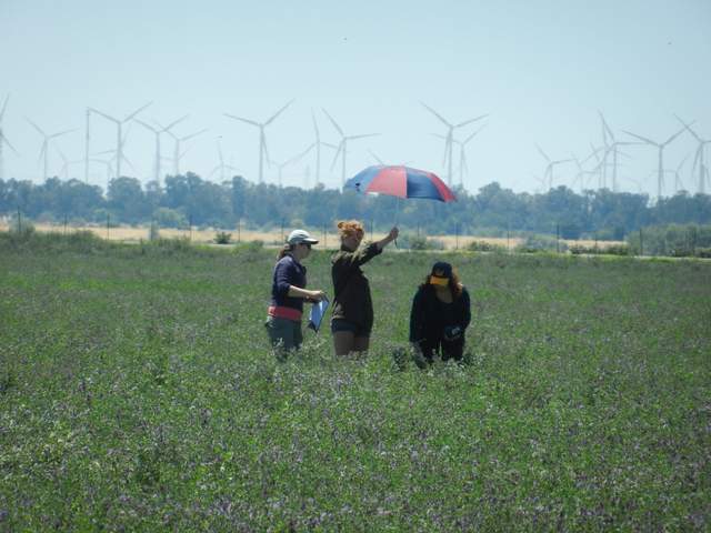
3975 20140612TA_LAI.jpg (2014-06-12 14:14:41 ) Full size: 1920x1440
Sara and other measuring leaf area
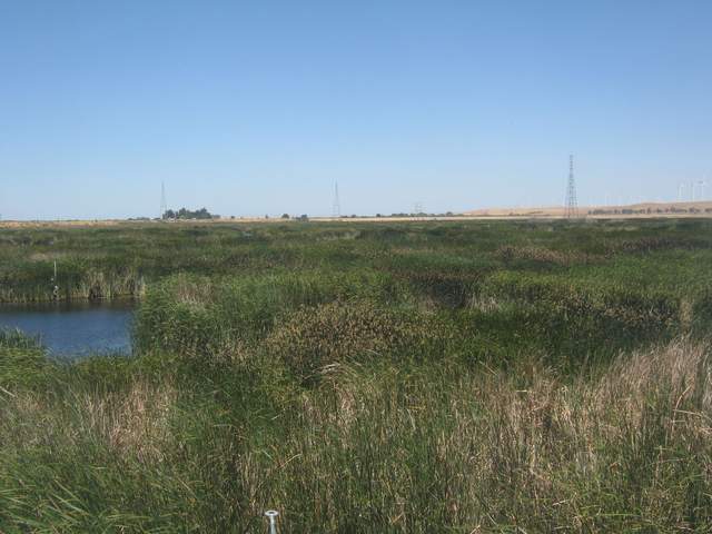
4026 MB_autocam_20140617_1115.jpg (2014-06-17 11:15:02 ) Full size: 1920x1440
Someone measuring vegetation
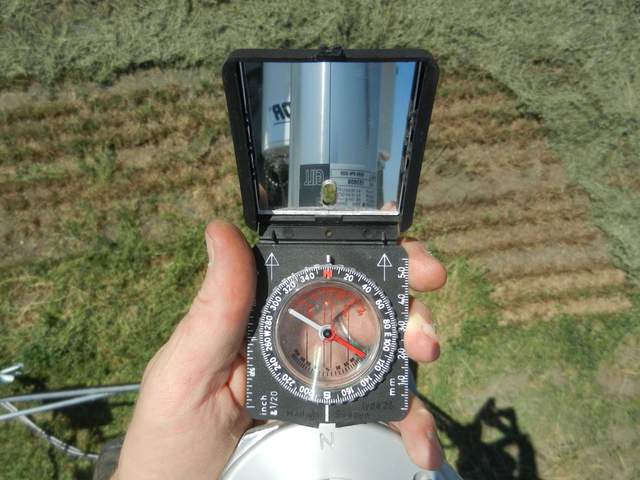
4551 20160816BA_NewHeading_tn.jpg (2016-08-16 13:46:47 ) Full size: 1920x1440
Measuring sonic orientation after moving the eddy sensors
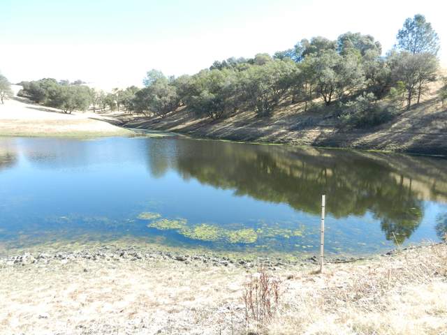
4585 20161020VR_Pond.jpg (2016-10-20 11:49:46 ) Full size: 1920x1440
Large pond northeast of our site. The pond is about 22 feet deep and can hold about 24 acre-feet of water. They need to report their water diversion to the state and we will help by measuring the water depth.
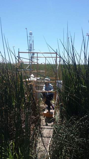
4692 20170614EE_ClosedVegTower.jpg (2017-06-14 00:00:00 ) Full size: 810x1440
Temporary Tower set up on Twitchell Island near the East End Tower. This tower is measuring a closed vegetation area.
5075 20190726BC_6400LeafFluorometer.JPG (2019-07-26 11:47:15 ) Full size: 1920x1440
Measuring a leaf using the 6400 with an opaque chamber
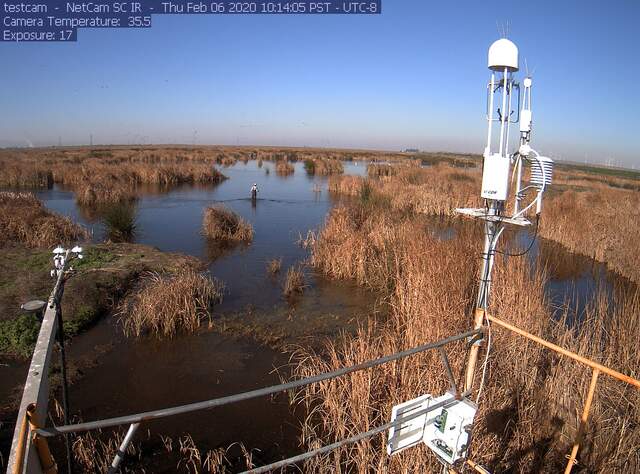
5250 siwetland_2020_02_06_101405.jpg (2020-02-06 10:29:44 ) Full size: 1296x960
Camilo measuring water level around tower
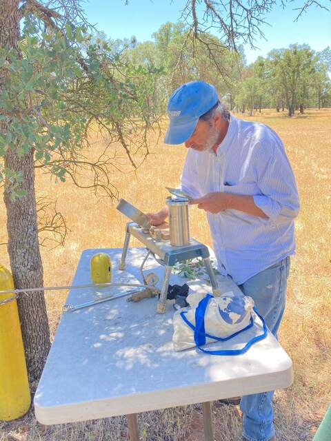
5539 20210518TZ_DennisWaterPotential.jpg (2021-05-19 13:29:21 ) Full size: 1440x1920
Dennis measuring water potential
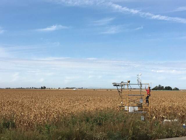
5742 20211007BC_DryCorn.jpg (2021-10-07 12:45:38 ) Full size: 1920x1440
Ari on site and our tower is measuring dry, dry corn
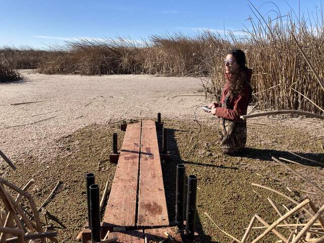
5808 20220202GT_ArianeSalinity.jpg (2022-02-02 14:47:46 ) Full size: 1920x1440
Ariane measuring salinity at GT
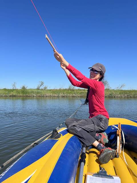
5833 20220323GT_ArianeMeasures.jpg (2022-03-23 11:38:45 ) Full size: 1440x1920
Ariane measuring the channel cross section for flow meter ADCP
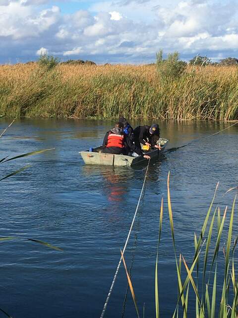
6258 20221108GT_WaterSamples.jpg (2022-11-08 14:13:15 ) Full size: 1440x1920
Robert, Koong, and Ari taking water samples and measuring flow during the 24hr tidal campaign
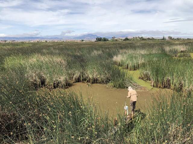
6730 20240603GT_Arman.jpg (2024-06-03 10:29:34 ) Full size: 1920x1440
Arman measuring surface water during low tide
Page: [1]

