
Biomet Gallery
All Photos | Site Cam Gallery | Key words
View Details
Page: [1]
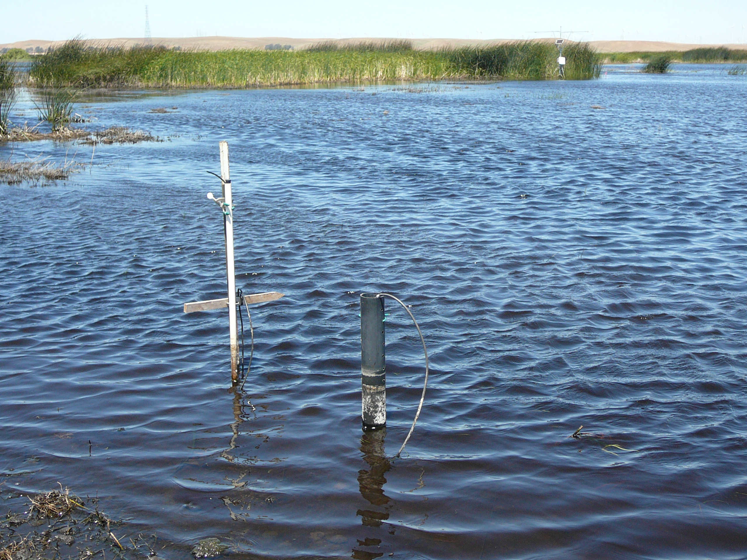
1037 20110513MB_LowerWater.jpg (2011-05-13 11:24:47 ) Full size: 2560x1920
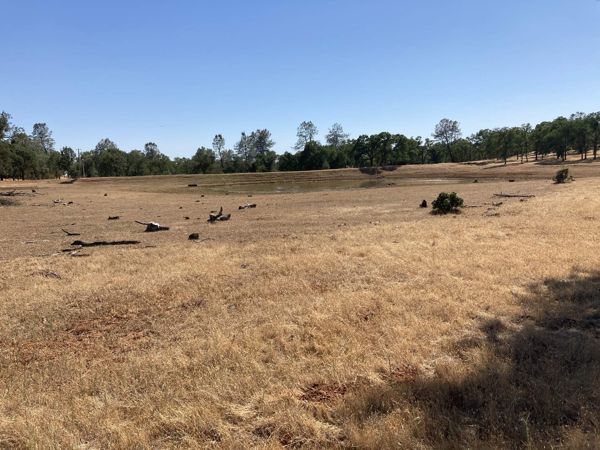
Water level has dropped since our last visit
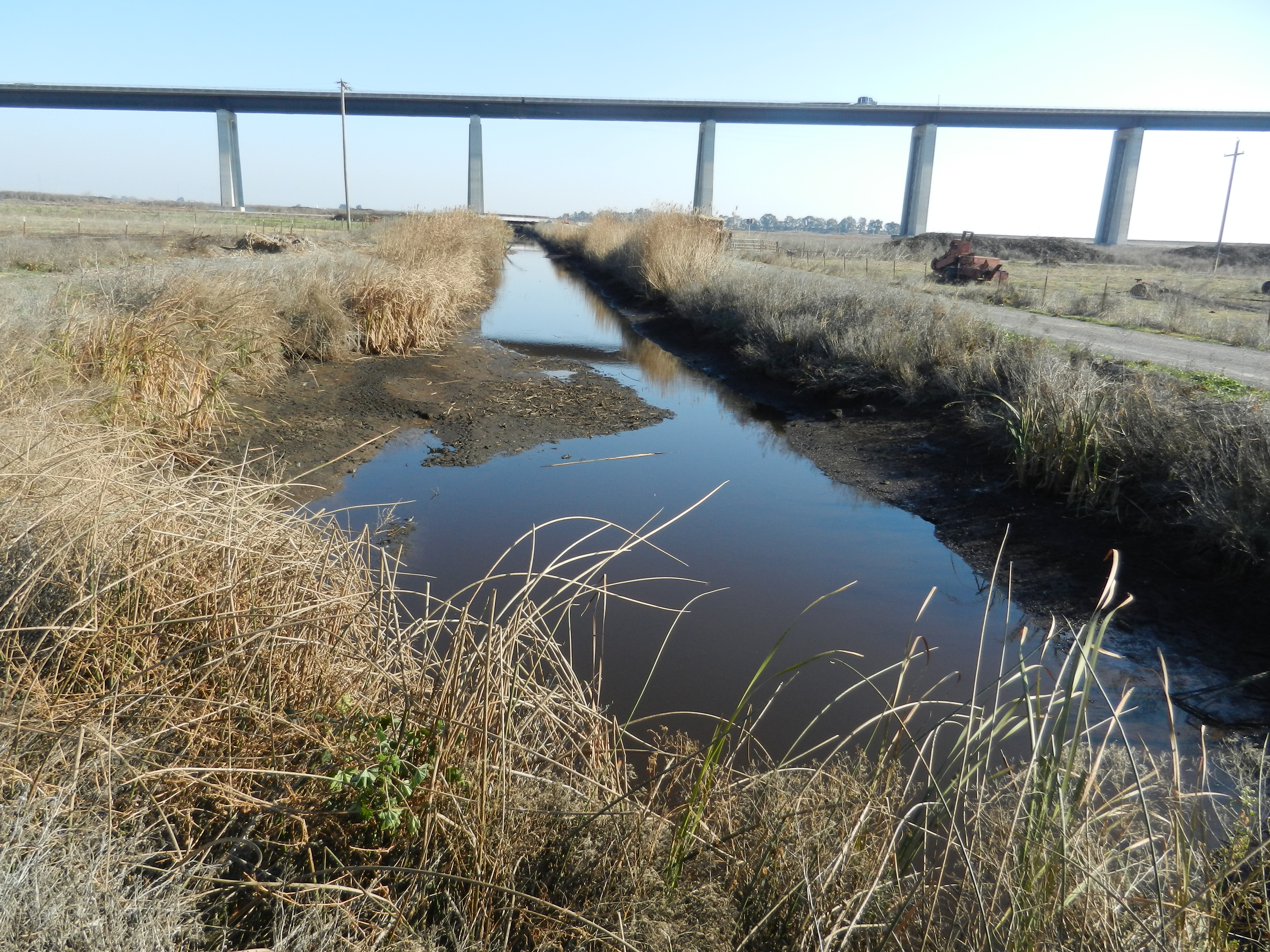
2112 20111214SI_DitchLowWater.jpg (2011-12-14 13:15:42 ) Full size: 4000x3000
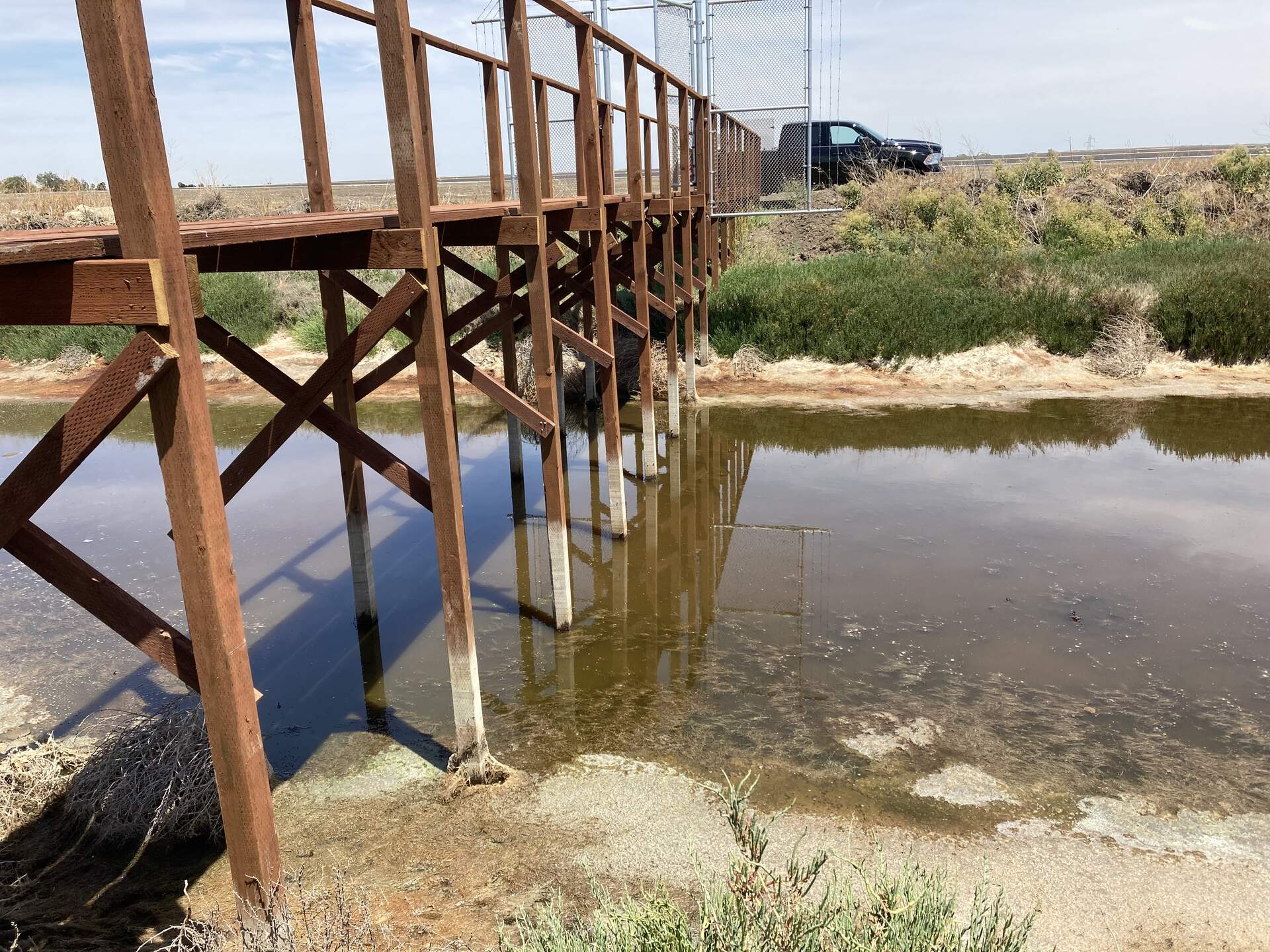
Low water in the ditch south of the cow pasture on Sherman Island

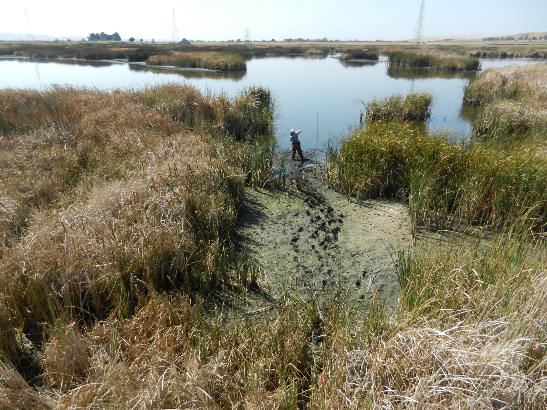
3977 20140807MB_LowVegCaterpillarDestruction.jpg (2014-08-07 11:55:49 ) Full size: 1920x1434
Caterpillars have decimated the vegetation at our Low Veg site
3994 20140910MB_LowVeg.jpg (2014-09-10 14:52:37 ) Full size: 1920x1440
Low Veg site measured by the portable tower
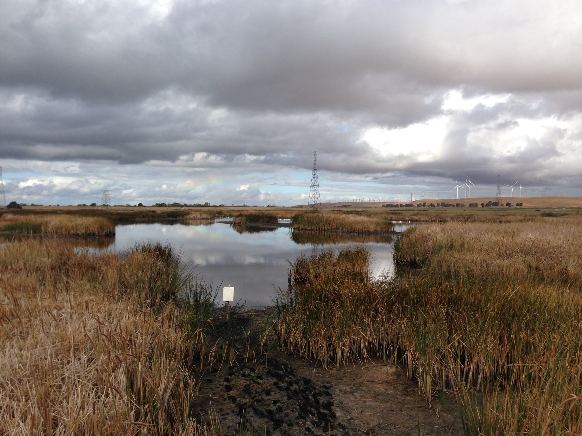
3996 20140918MB_LowWater.jpg (2014-09-18 10:04:28 ) Full size: 1920x1440
Low water level and a vague rainbow in the sky
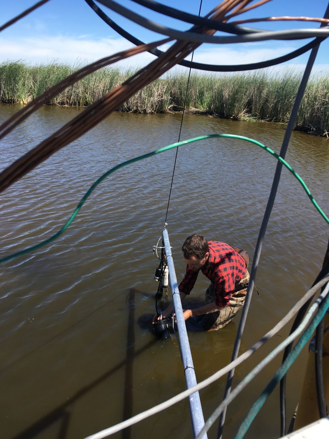
4677 20170427MB_lowwaterlevel.JPG (2017-04-27 12:44:05 ) Full size: 1080x1440
Low water level at Mayberry as Bryan is draining and then refilling to correct for high salinity. Sam is getting air bubbles out of the fluorometer.
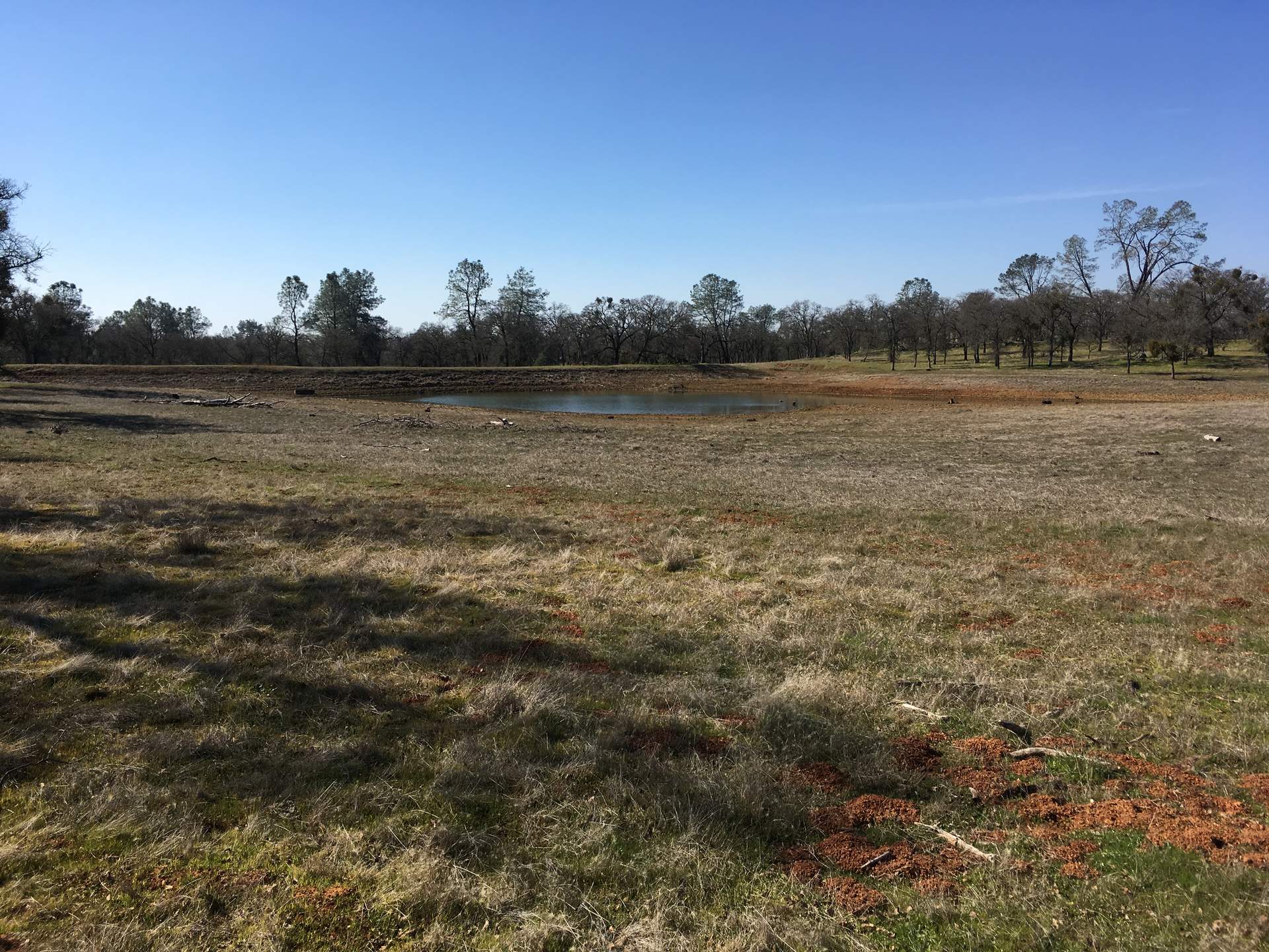
5185 20200212TZ_Pond.jpg (2020-02-12 00:00:00 ) Full size: 1920x1440
Tonzi pond still low
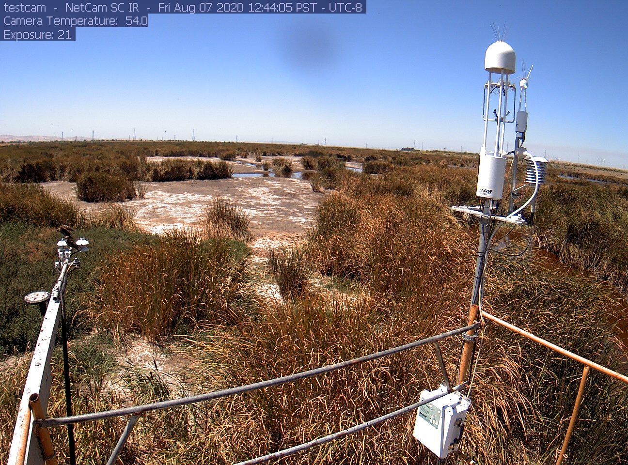
5406 siwetland_2020_08_07_124405.jpg (2020-08-07 12:45:32 ) Full size: 1296x960
Birds on radiometers, low water level
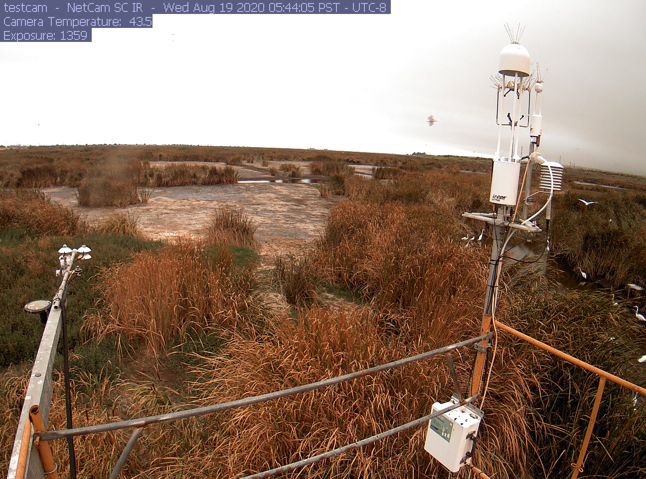
5408 siwetland_2020_08_19_054405.jpg (2020-08-19 05:46:56 ) Full size: 1296x960
Egrets in channel, low water level
5543 20210602VR_Pond.jpg (2021-06-02 16:00:20 ) Full size: 1920x1440
The pond is very low for second day of June
5548 20210616HS_LowTide.jpg (2021-06-16 14:07:09 ) Full size: 1920x1440
At low tide you can see the high tide water lines

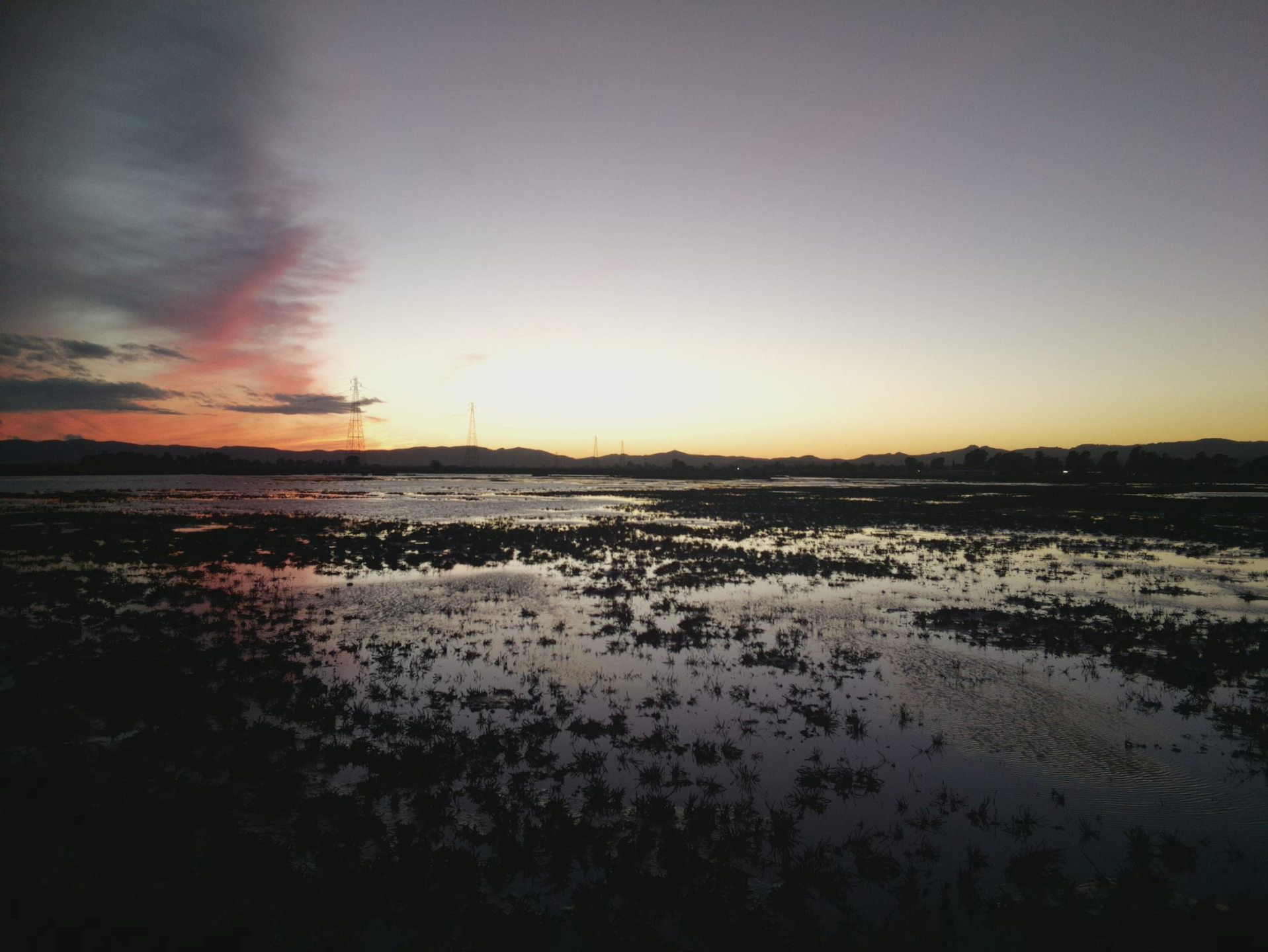
6001 HS_picam_20211110_1715.jpg (2021-11-10 17:15:05 ) Full size: 1917x1440
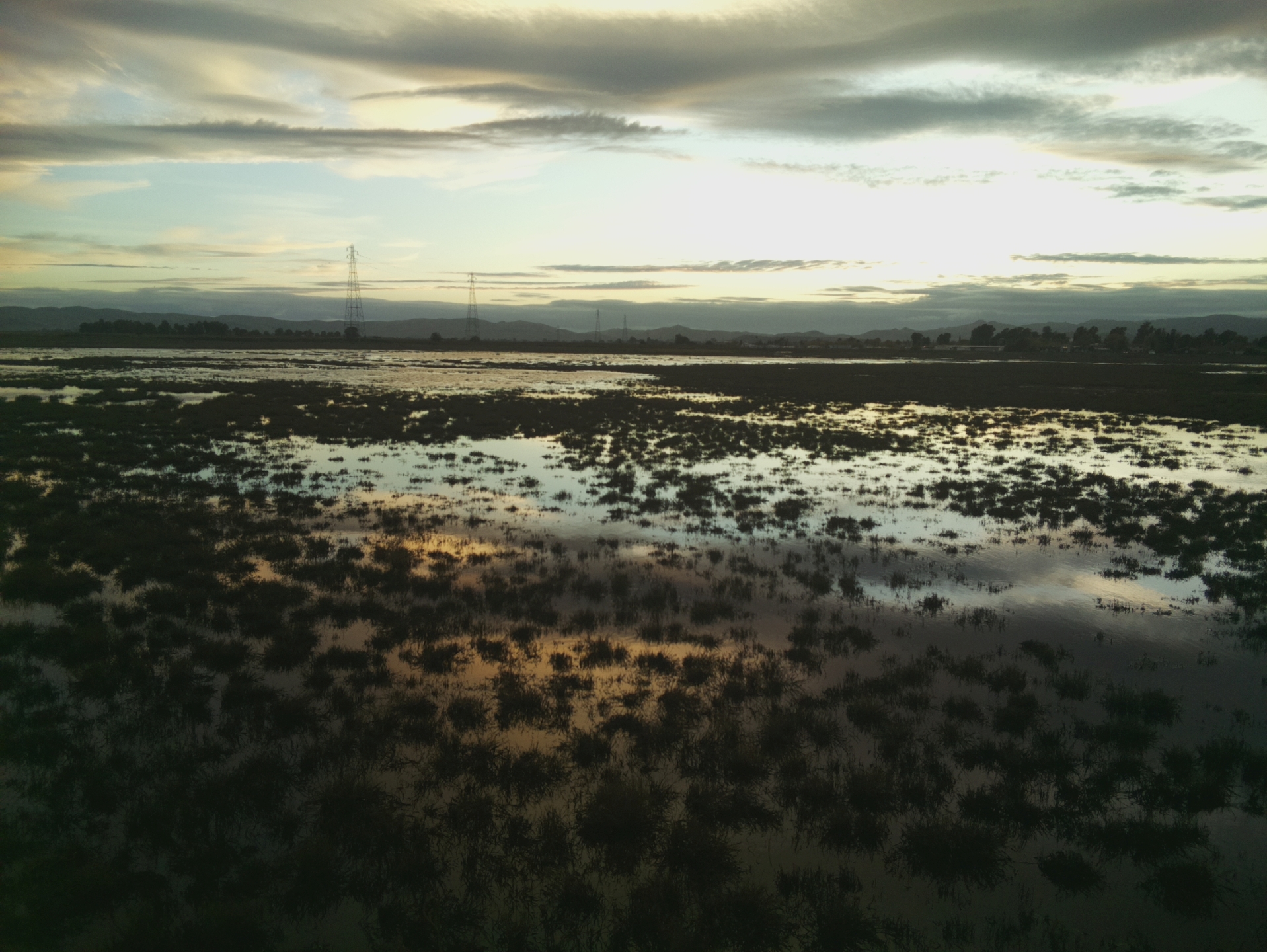
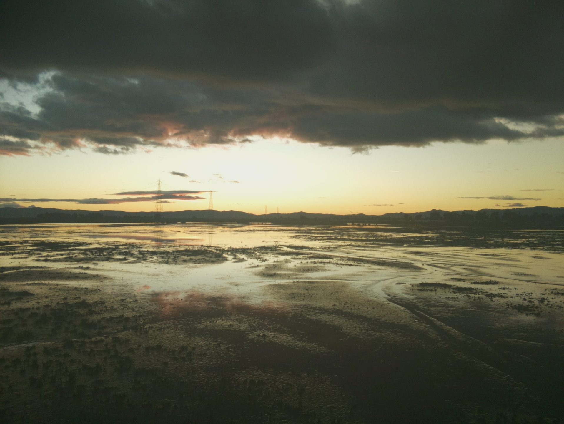
Nice sunset at low tide
6007 HS_picam_20211113_1715.jpg (2021-11-13 17:15:06 ) Full size: 1917x1440
Nice sunset at low tide
5768 20211118HS_LowTide1.jpg (2021-11-18 08:35:57 ) Full size: 1920x1440
Daphne on site. Wetland is close to low tide.

5769 20211118HS_LowTide2.jpg (2021-11-18 08:36:19 ) Full size: 1920x1440
Daphne on site. Wetland is close to low tide.
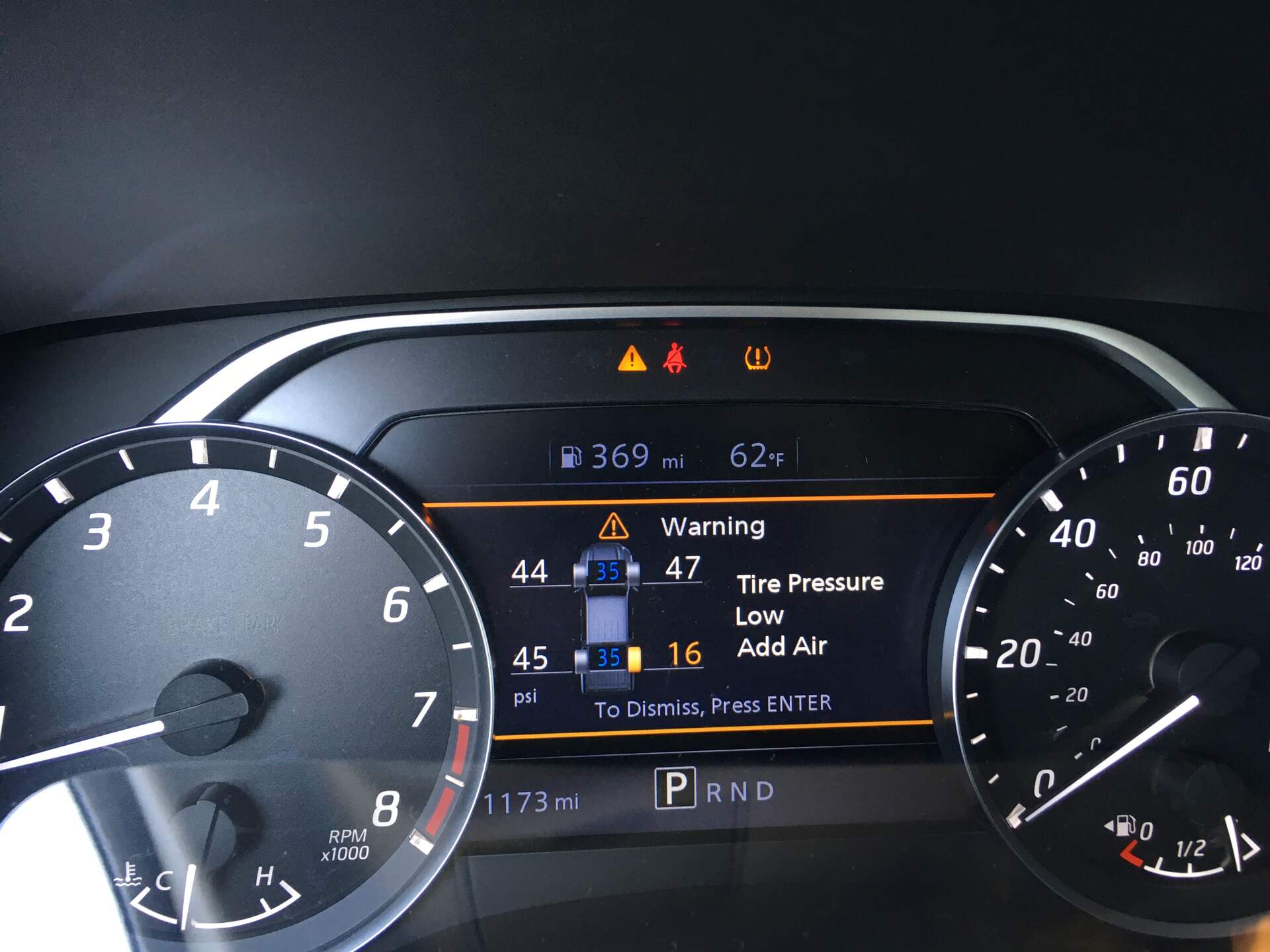
5783 20211201EE_FlatTire.jpg (2021-12-01 11:33:23 ) Full size: 1920x1440
Low tire pressure warning system in our rental truck

6031 HS_picam_20220111_1715.jpg (2022-01-11 17:15:05 ) Full size: 1917x1440
Nice sunset at low tide

6040 HS_picam_20220202_1215.jpg (2022-02-02 12:15:05 ) Full size: 1917x1440
Egrets at low tide
5990 HS_picam_20220215_0845.jpg (2022-02-15 08:45:05 ) Full size: 1917x1440
Wading birds at low tide
6046 HS_picam_20220310_1245.jpg (2022-03-10 12:45:05 ) Full size: 1917x1440
Snowy and great white egrets at low tide
5994 HS_picam_20220314_1815.jpg (2022-03-14 18:15:05 ) Full size: 1917x1440
Nice sunset at low tide
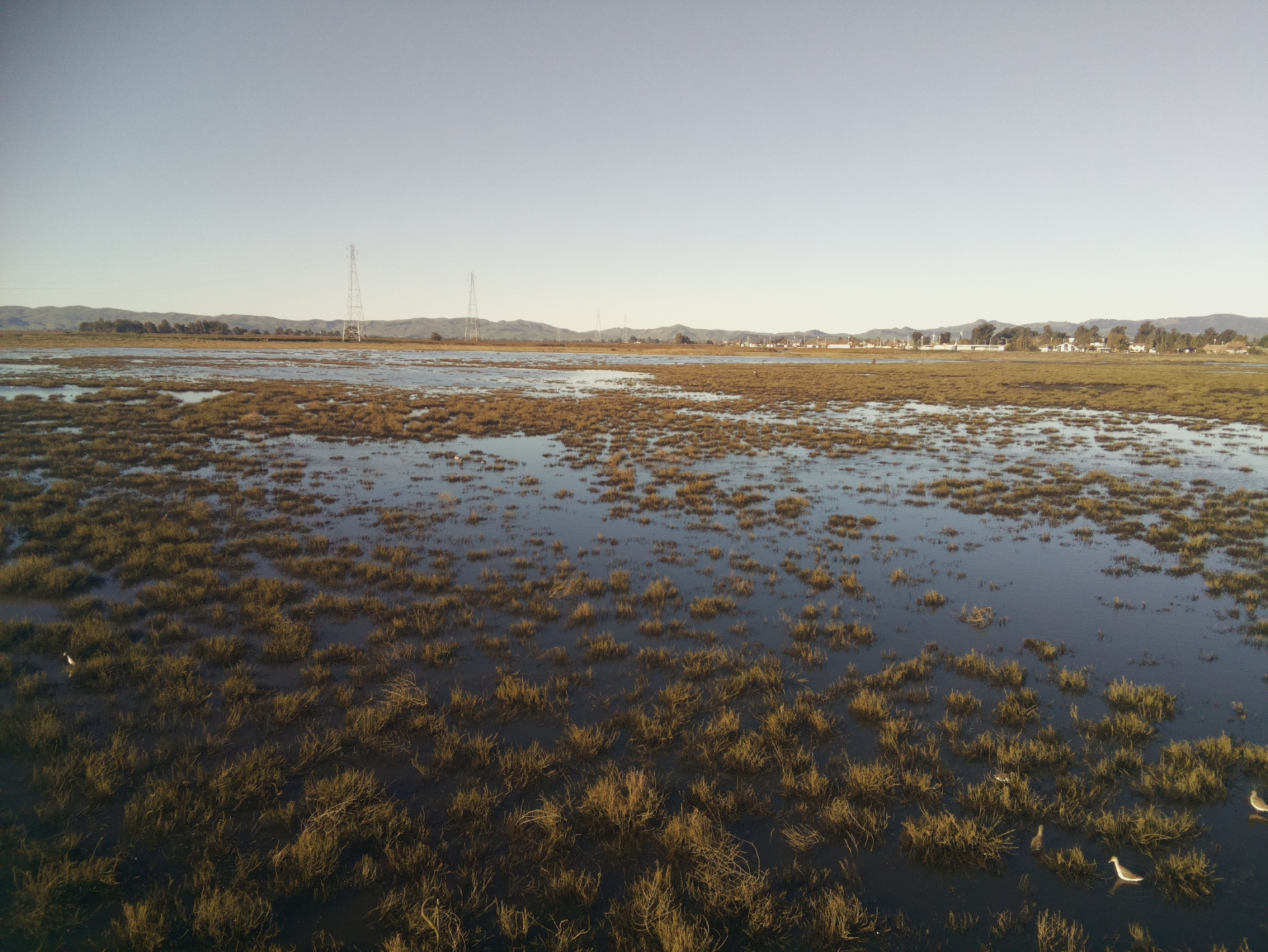
6094 20221019MB_SenescentVeg.jpg (2022-10-19 12:38:43 ) Full size: 1920x1440
Super low water and senescing vegetation

6091 20221019MB_LowWater1.jpg (2022-10-19 12:39:18 ) Full size: 1920x1440
Super low water level

6092 20221019MB_LowWater2.jpg (2022-10-19 12:39:25 ) Full size: 1920x1440
Super low water level--no longer one continuous body of water

6090 20221019MB_FluxSensors.jpg (2022-10-19 12:39:36 ) Full size: 1920x1440
Flux sensors against backdrop of very low water level

6093 20221019MB_LowWater3.jpg (2022-10-19 12:39:52 ) Full size: 1920x1440
Super low water level--no longer one continuous body of water. "Water" radiometers are now looking at mud.

6102 20221103MB_Channel2.jpg (2022-11-03 14:20:12 ) Full size: 1920x1440
Low water level in Mayberry channel

6101 20221103MB_Channel1.jpg (2022-11-03 14:20:58 ) Full size: 1920x1440
Low water level in Mayberry channel
6577 HS_picam_20221201_1715.jpg (2022-12-01 17:15:06 ) Full size: 1917x1440
Beautiful sunset at low tide

6579 HS_picam_20221202_1715.jpg (2022-12-02 17:15:05 ) Full size: 1920x1442
Gorgeous sunset at low tide
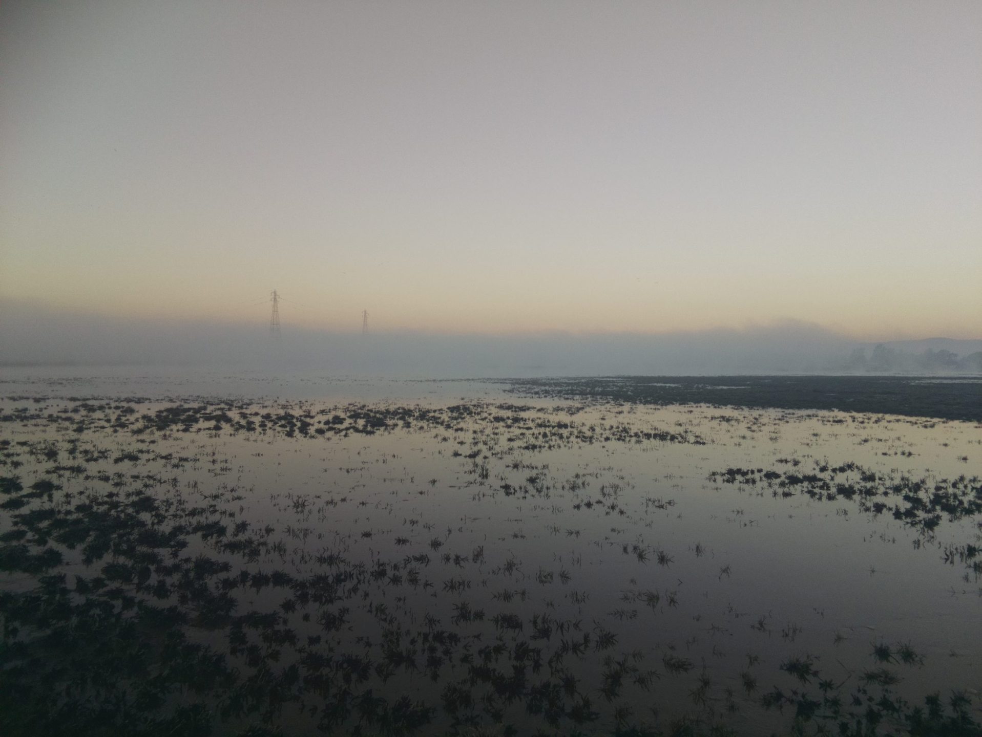
6587 HS_picam_20221218_0745.jpg (2022-12-18 07:45:05 ) Full size: 1917x1440
Morning tule fog at low tide

6598 HS_picam_20230201_1745.jpg (2023-02-01 17:45:05 ) Full size: 1917x1440
Nice sunset at low tide
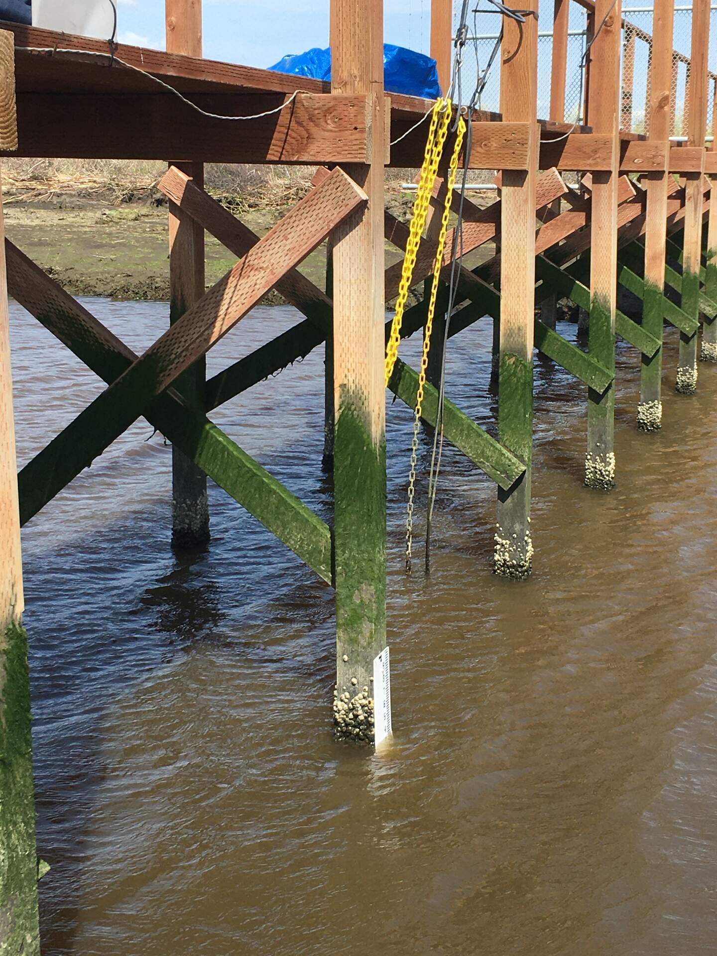
6296 20230509HS_StaffGauge.jpg (2023-05-09 15:44:06 ) Full size: 1440x1920
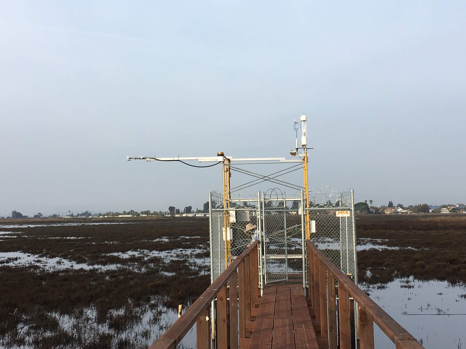
Installed a second staff gauge in the channel to let us read water level during low tide when our primary staff gauge by the tower is high and dry. I had to scrape off a bunch of barnacles before attaching the gauge to the post.
6294 20230509HS_Bubbles1.jpg (2023-05-09 16:28:03 ) Full size: 1440x1920
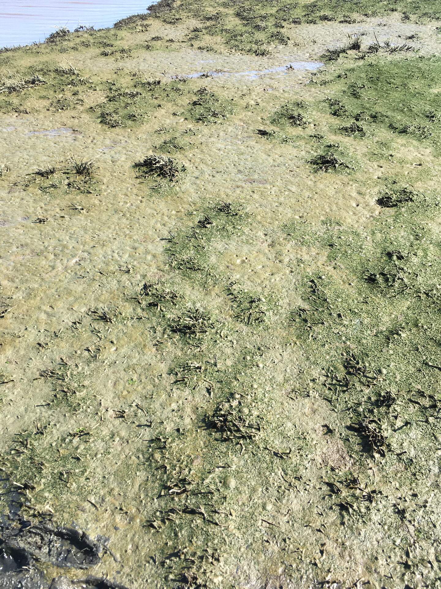
Bubbles getting trapped in the algal mat at Hill Slough during low tide

6295 20230509HS_Bubbles2.jpg (2023-05-09 16:28:08 ) Full size: 1440x1920
(Zoomed in) bubbles getting trapped in the algal mat at Hill Slough during low tide

6619 HS_picam_20231121_1715.jpg (2023-11-21 17:15:05 ) Full size: 1917x1440
Nice sunset at low tide

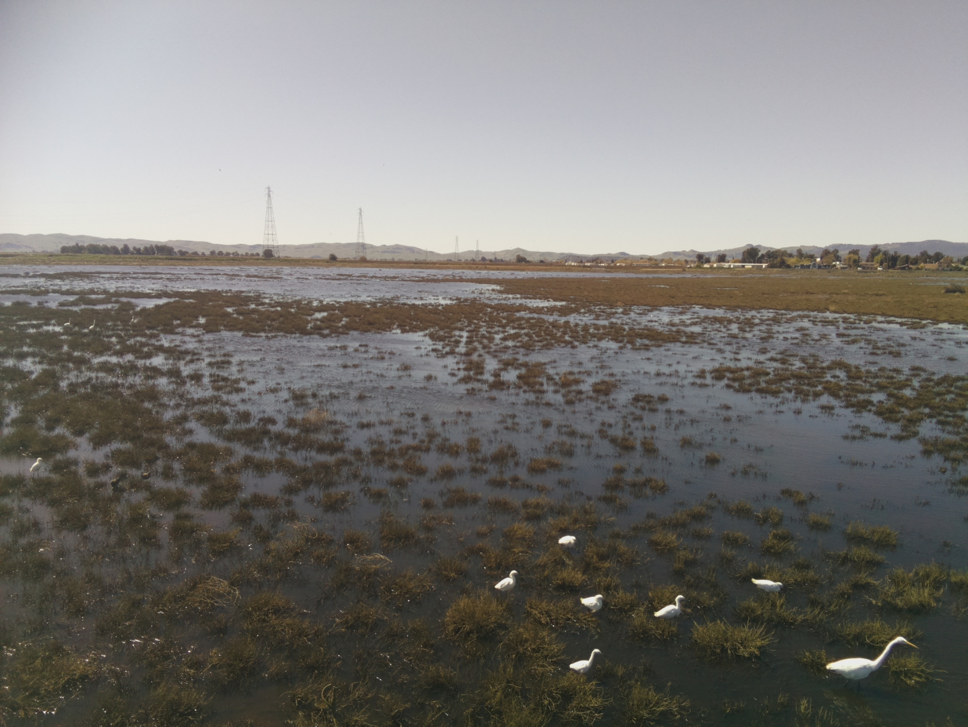
6363 20231207HS_Birds.jpg (2023-12-07 16:11:24 ) Full size: 1920x1440
Wading birds at low tide

6620 HS_picam_20231208_1715.jpg (2023-12-08 17:15:05 ) Full size: 1917x1440
Sunset at low tide
6624 HS_picam_20240103_1715.jpg (2024-01-03 17:15:06 ) Full size: 1917x1440
Interesting light at low tide

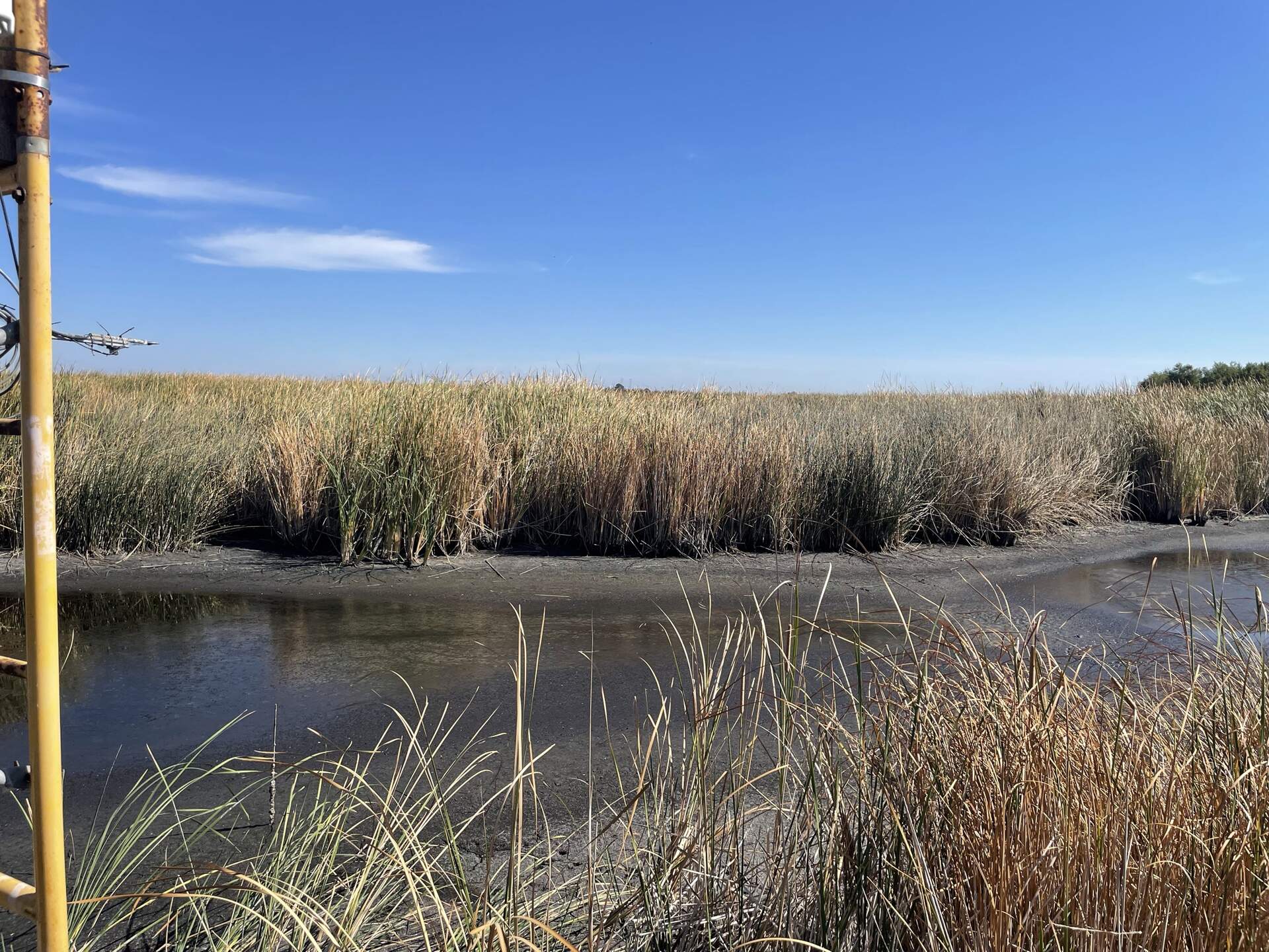
6700 20240314GT_ChannelLowTide.jpg (2024-03-14 15:36:14 ) Full size: 1920x1440
Low tide looking west from the channel mouth

6708 20240501HS_DryWaterSensors.jpg (2024-05-01 15:48:10 ) Full size: 1920x1440
The water sensors are in the air at low tide
6730 20240603GT_Arman.jpg (2024-06-03 10:29:34 ) Full size: 1920x1440
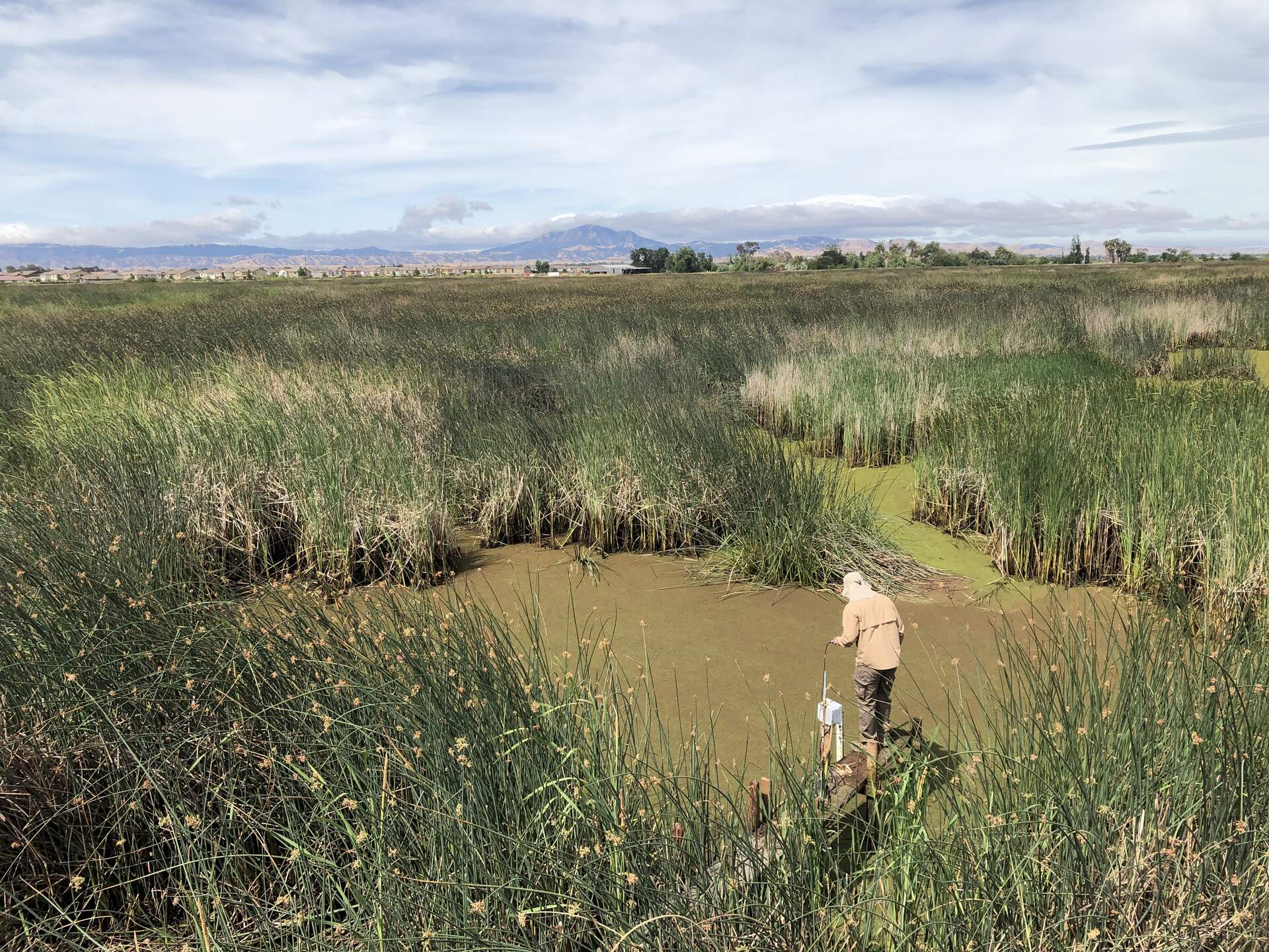
Arman measuring surface water during low tide
Page: [1]