Biomet Gallery
All Photos | Site Cam Gallery | Key words
Large Photos
Page: [1] 2
| ID | Name | Location | Date | Size | Camera | Thumb |
|---|---|---|---|---|---|---|
| 1609 | 20081003TW_Levee.jpg View from the top of the levee - San Joaquin River to the left |
Twitchell Rice | 2008-10-03 10:15:34 | 2048x1536 | Canon PowerShot S1 IS | 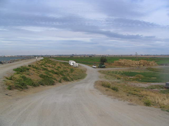 |
| 465 | MB_P1000342.JPG View of newly flooded wetland from levee |
Mayberry | 2009-11-10 09:30:55 | 4000x3000 | DMC-FS15 | |
| 467 | MB_P1000346.JPG Eddy tower on levee over newly flooded wetland |
Mayberry | 2009-11-10 11:37:21 | 4000x3000 | DMC-FS15 | |
| 323 | 20100318SL_LeveeSite.jpg Mt Diablo and possible levee site |
Sherman Levee | 2010-03-18 13:48:54 | 2048x1536 | Canon PowerShot S1 IS | 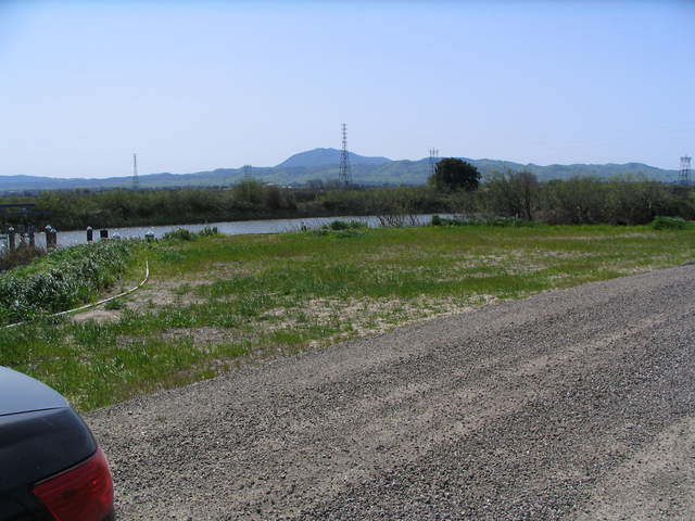 |
| 325 | 20100406SL_DennisOnTower.jpg Dennis on temporary levee tower |
Sherman Levee | 2010-04-06 14:17:01 | 2048x1536 | Canon PowerShot S1 IS | 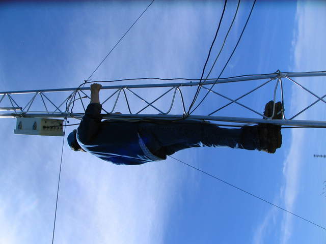 |
| 326 | 20100406SL_TowerViewWest.jpg View to the west of levee tower |
Sherman Levee | 2010-04-06 14:32:41 | 2048x1536 | Canon PowerShot S1 IS | 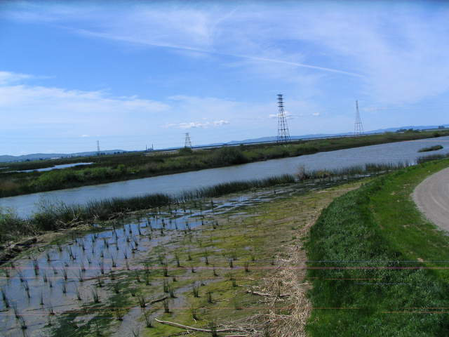 |
| 327 | 20100406SL_TowerViewSW.jpg View to the west of levee tower |
Sherman Levee | 2010-04-06 14:32:56 | 2048x1536 | Canon PowerShot S1 IS | 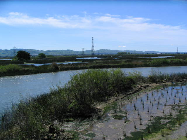 |
| 328 | 20100406SL_TowerViewSouth.jpg Channel to the south of levee tower |
Sherman Levee | 2010-04-06 14:33:03 | 2048x1536 | Canon PowerShot S1 IS | 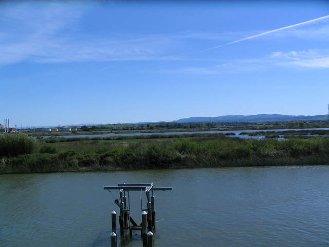 |
| 329 | 20100406SL_TowerViewSSW.jpg Mt Diablo from Levee tower |
Sherman Levee | 2010-04-06 14:33:07 | 2048x1536 | Canon PowerShot S1 IS | 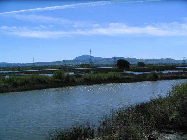 |
| 331 | 20100406SL_TowerViewNorth.jpg Dennis and Matteo at levee tower site |
Sherman Levee | 2010-04-06 14:33:19 | 2048x1536 | Canon PowerShot S1 IS | 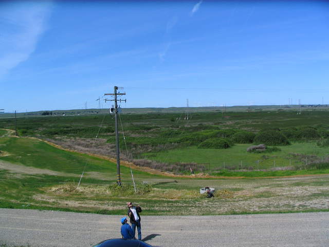 |
| 332 | 20100406SL_TowerViewEast.jpg View to the east from levee tower |
Sherman Levee | 2010-04-06 14:33:23 | 2048x1536 | Canon PowerShot S1 IS | 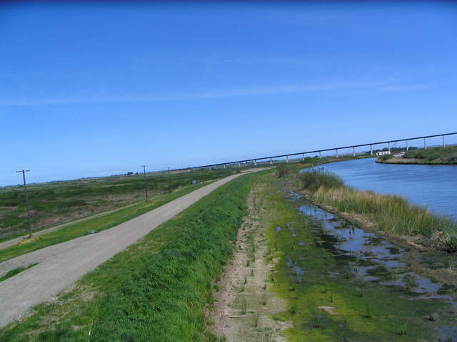 |
| 333 | 20100406SL_TrailerAndTower1.jpg LGR trailer at Levee tower site |
Sherman Levee | 2010-04-06 15:58:46 | 2048x1536 | Canon PowerShot S1 IS | 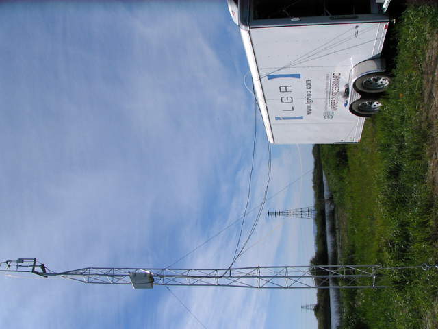 |
| 334 | 20100406SL_TrailerAndTower2.jpg LGR trailer at Levee tower site |
Sherman Levee | 2010-04-06 15:59:10 | 2048x1536 | Canon PowerShot S1 IS | 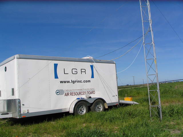 |
| 335 | 20100406SL_TrailerAndTower3.jpg LGR trailer at Levee tower site |
Sherman Levee | 2010-04-06 15:59:30 | 2048x1536 | Canon PowerShot S1 IS | 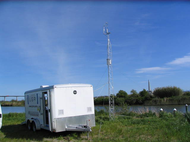 |
| 336 | 20100406SL_TrailerAndTower4.jpg LGR trailer at Levee tower site door open |
Sherman Levee | 2010-04-06 15:59:55 | 2048x1536 | Canon PowerShot S1 IS | 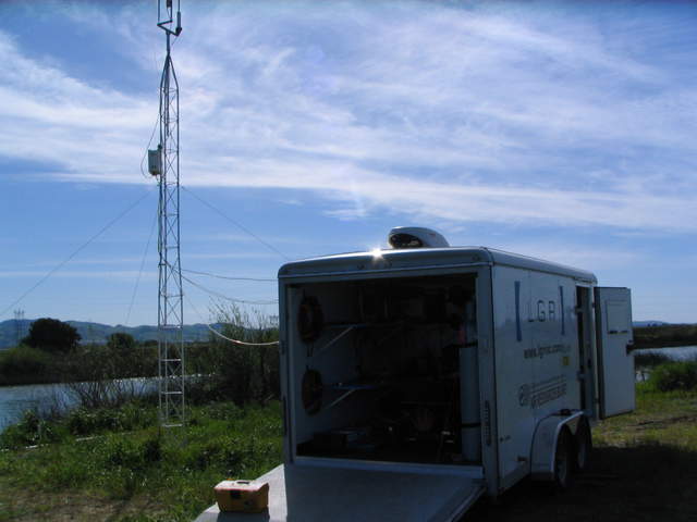 |
| 337 | 20100406SL_InsideTrailer1.jpg Inside LGR trailer at Levee tower site |
Sherman Levee | 2010-04-06 16:00:27 | 2048x1536 | Canon PowerShot S1 IS | 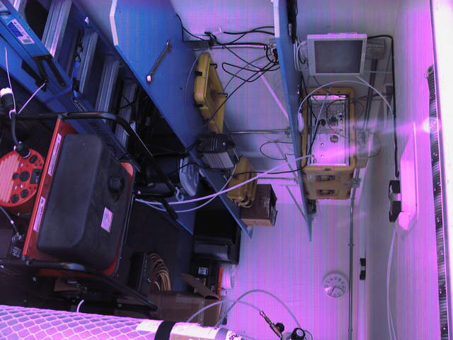 |
| 338 | 20100406SL_InsideTrailer2.jpg Inside LGR trailer at Levee tower site |
Sherman Levee | 2010-04-06 16:00:39 | 2048x1536 | Canon PowerShot S1 IS | 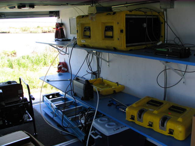 |
| 339 | 20100406SL_TrailerAndTower5.jpg LGR trailer at Levee tower site tower top |
Sherman Levee | 2010-04-06 16:01:24 | 2048x1536 | Canon PowerShot S1 IS | 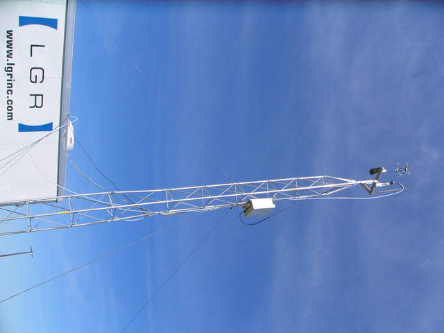 |
| 352 | 20100415SI_Goats.jpg Zoom in of goats on Sherman levee |
Sherman Island | 2010-04-15 12:52:29 | 2048x1536 | Canon PowerShot S1 IS | 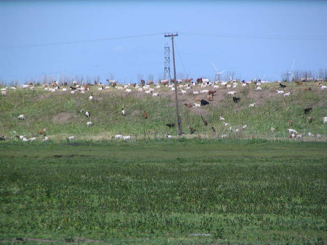 |
| 357 | 20100422SL_LeveeTower1.jpg LGR trailer at levee tower |
Sherman Levee | 2010-04-22 07:52:00 | 2048x1536 | Canon PowerShot S1 IS | 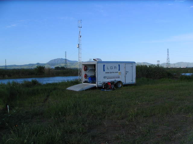 |
| 359 | 20100422SL_LeveeTower2.jpg LGR trailer at levee tower |
Sherman Levee | 2010-04-22 07:53:02 | 2048x1536 | Canon PowerShot S1 IS | 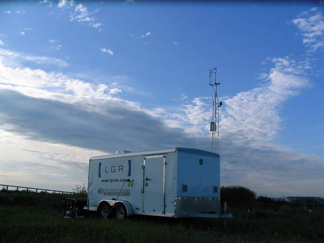 |
| 361 | 20100422SL_HighTideWest.jpg Flooded wetland near levee |
Sherman Levee | 2010-04-22 07:54:06 | 2048x1536 | Canon PowerShot S1 IS | 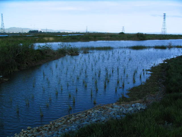 |
| 363 | 20100422SL_LeveeTower3.jpg LGR trailer at the levee site |
Sherman Levee | 2010-04-22 07:58:50 | 2048x1536 | Canon PowerShot S1 IS | 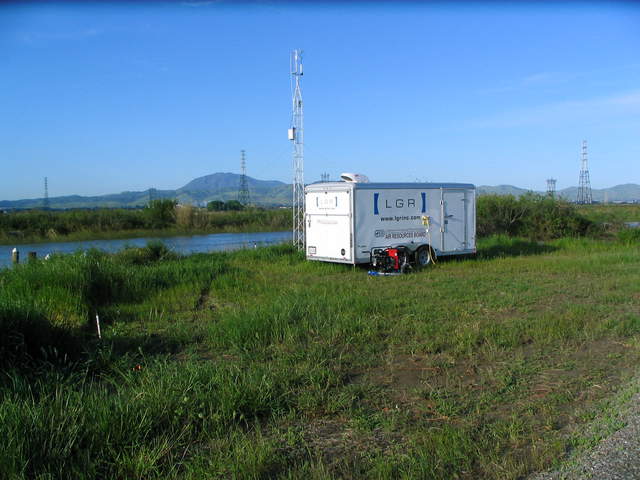 |
| 370 | 20100511SL_SolarAtLevee1.jpg Solar panels and data logger box at levee tower |
Sherman Levee | 2010-05-11 14:01:07 | 2048x1536 | Canon PowerShot S1 IS | 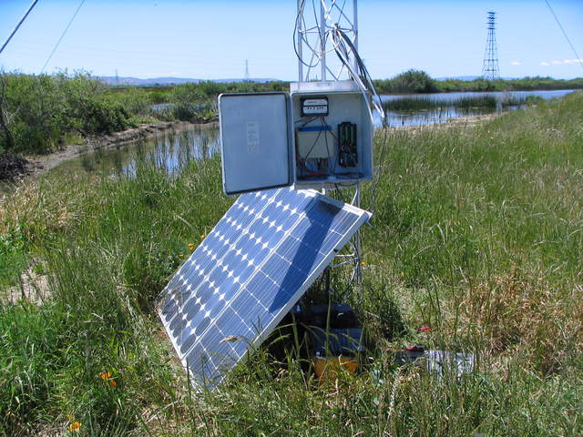 |
| 371 | 20100511SL_SolarAtLevee2.jpg Solar panels and data logger box at levee tower |
Sherman Levee | 2010-05-11 14:01:18 | 2048x1536 | Canon PowerShot S1 IS | 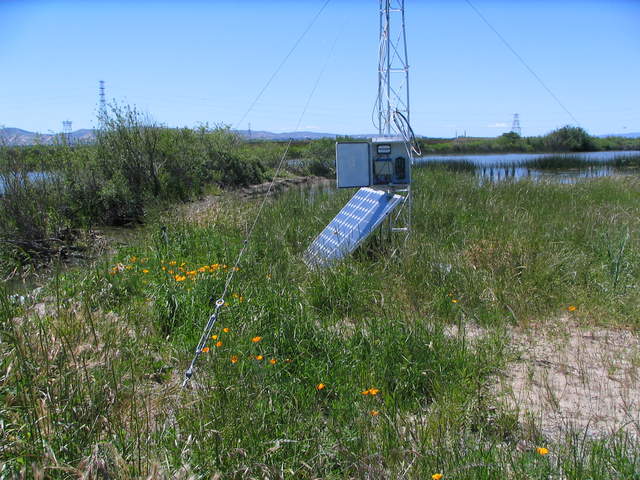 |
| 372 | 20100511SL_SolarAtLevee3.jpg Solar panels, data logger box and levee tower |
Sherman Levee | 2010-05-11 14:01:25 | 2048x1536 | Canon PowerShot S1 IS | 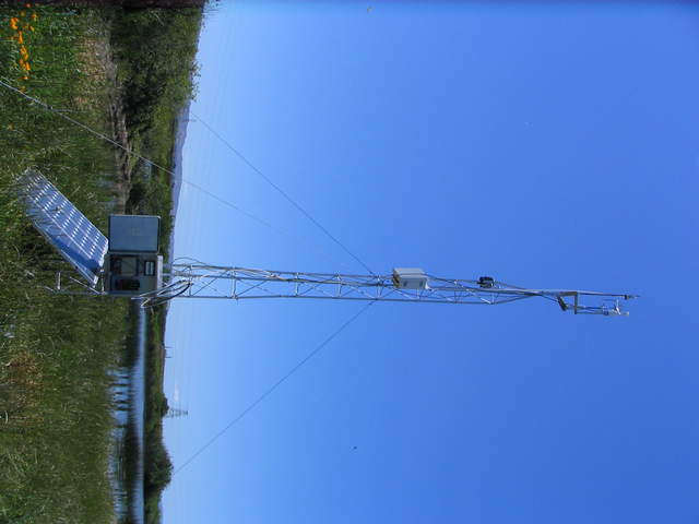 |
| 373 | 20100511SL_SolarAtLevee4.jpg Levee tower site |
Sherman Levee | 2010-05-11 14:01:46 | 2048x1536 | Canon PowerShot S1 IS | 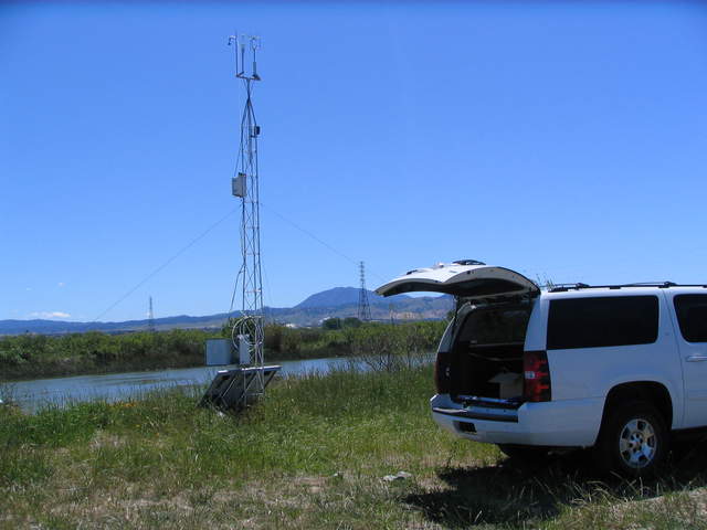 |
| 378 | 20100520SL_LeveeTowerLI7700.jpg Levee tower with LI-7700 |
Sherman Levee | 2010-05-20 14:58:42 | 1536x2048 | Canon PowerShot S1 IS | 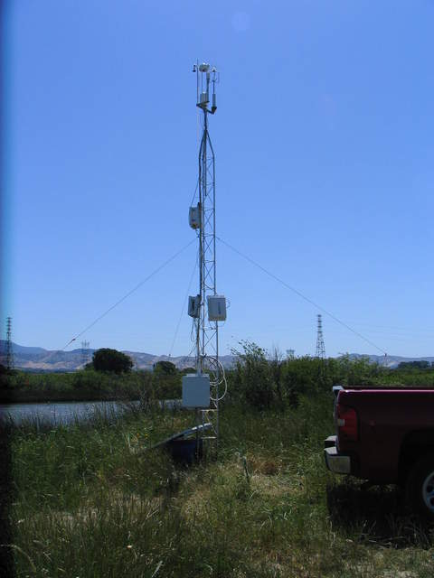 |
| 379 | 20100520SL_LeveeTowerBridge.jpg Full eddy tower on levee at Sherman Island |
Sherman Levee | 2010-05-20 14:59:12 | 2048x1536 | Canon PowerShot S1 IS | 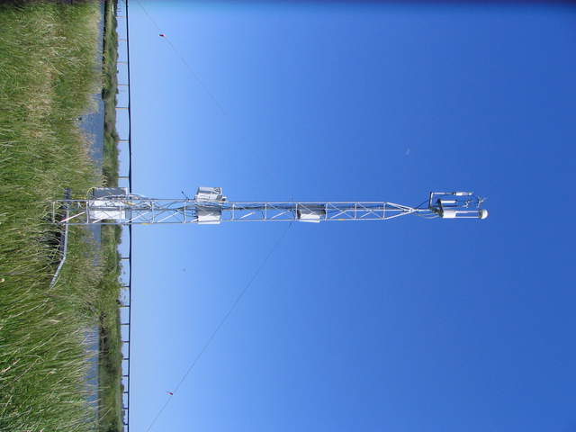 |
| 380 | 20100520SL_LeveeTowerTopLI7700.jpg Quarter moon next to the eddy sensors |
Sherman Levee | 2010-05-20 15:01:21 | 2048x1536 | Canon PowerShot S1 IS | 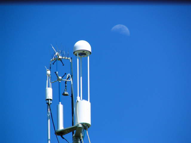 |
| 49 | 20100622SI_LeveeSonicHeading.jpg Magnetic heading of sonic. |
Sherman Island | 2010-06-22 10:25:32 | 3648x2736 | Canon PowerShot A480 | 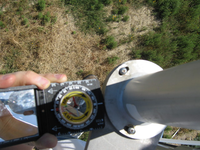 |
| 437 | 20101014MB_Site.jpg Long view of levee and Mayberry tower site |
Mayberry | 2010-10-14 13:00:01 | 3648x2736 | Canon PowerShot A480 | 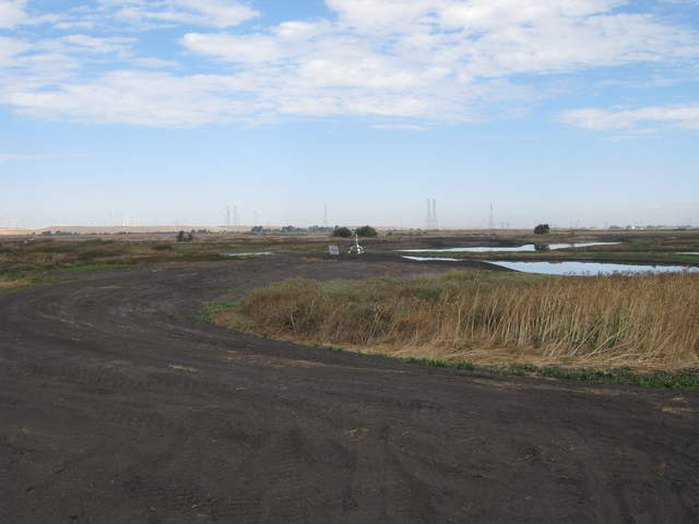 |
| 440 | 20101014MB_SiteZoom.jpg Zoomed view of Mayberry site from main levee |
Mayberry | 2010-10-14 13:00:12 | 3648x2736 | Canon PowerShot A480 | 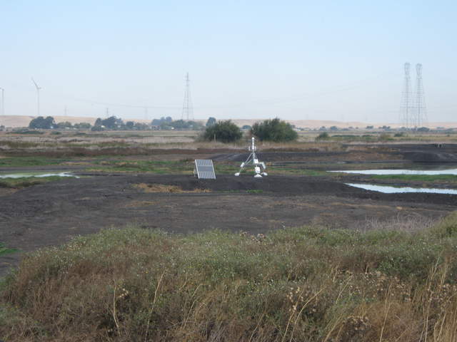 |
| 438 | 20101014MB_SiteFromLevee.jpg Super long view of Mayberry site from main levee |
Mayberry | 2010-10-14 13:02:27 | 3648x2736 | Canon PowerShot A480 | 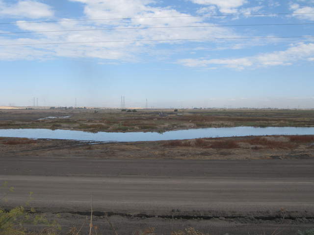 |
| 439 | 20101014MB_SiteFromLeveeZoom.jpg Zoomed view of Mayberry site from main levee |
Mayberry | 2010-10-14 13:02:37 | 3648x2736 | Canon PowerShot A480 | 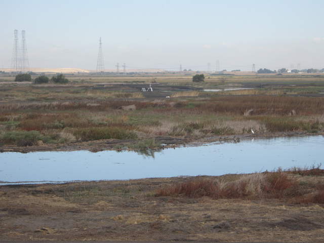 |
| 445 | 20101021MB_Site.jpg Solar panels and eddy tower on levee at Mayberry |
Mayberry | 2010-10-21 10:05:42 | 3648x2736 | Canon PowerShot A480 | 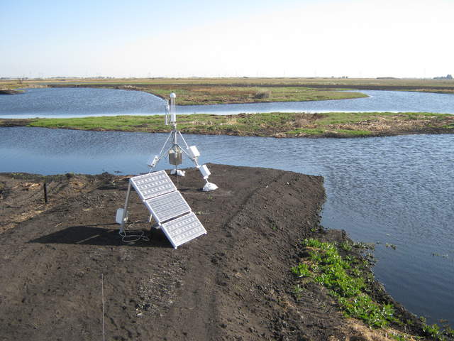 |
| 1221 | MB_autocam_20110212_1545.jpg Birds on far levee behind tower - white pelicans? |
Mayberry | 2011-02-12 15:45:02 | 3648x2736 | Canon PowerShot A480 | 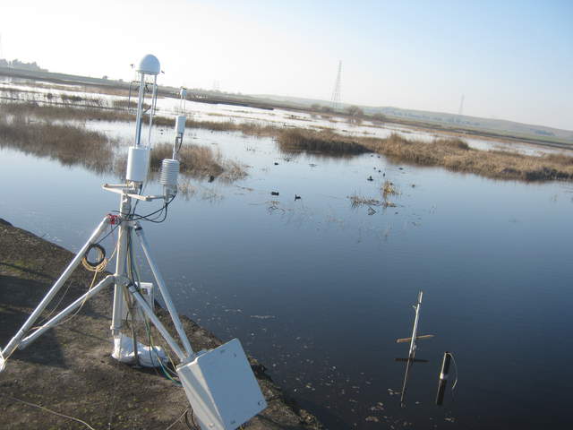 |
| 660 | 20110308MB_GoatsOnLevee.jpg Goats on the slough levee road |
Mayberry | 2011-03-08 14:58:10 | 2560x1920 | DMC-TZ1 | 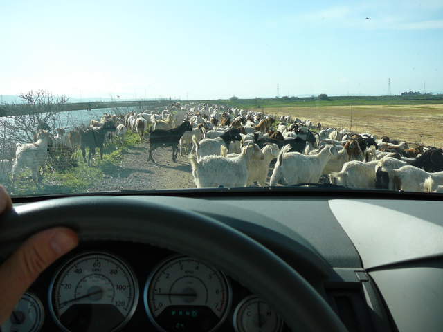 |
| 879 | mb_IMG_7567.jpg Goats on the slough levee road |
Mayberry | 2011-03-08 15:08:17 | 1600x1200 | iPhone 3G | 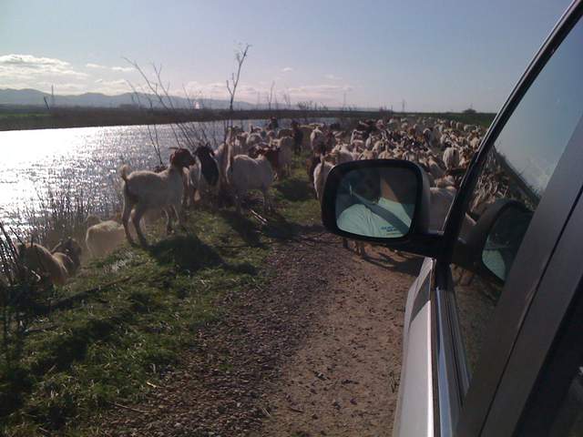 |
| 880 | mb_IMG_7569.jpg Goats on the slough levee road |
Mayberry | 2011-03-08 15:08:28 | 1600x1200 | iPhone 3G | 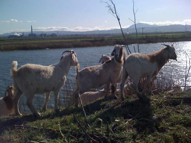 |
| 903 | mb_IMG_7570.jpg Goats on the slough levee road |
Mayberry | 2011-03-08 15:08:33 | 1600x1200 | iPhone 3G | 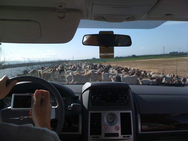 |
| 904 | mb_IMG_7573.jpg Goats on the slough levee road |
Mayberry | 2011-03-08 15:13:31 | 1600x1200 | iPhone 3G | 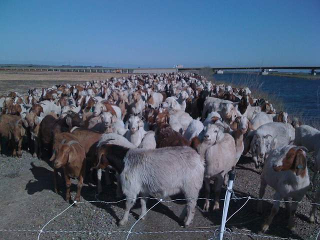 |
| 1323 | 20110728TW_LeveePano.jpg View of the levee at Twitchell |
Twitchell Rice | 2011-07-28 09:09:00 | 4908x1593 |  | |
| 1321 | 20110728TW_ShipDiablo.jpg Ship on the river from levee with Mt Diablo |
Twitchell Rice | 2011-07-28 09:15:11 | 2560x1920 | DMC-TZ1 | 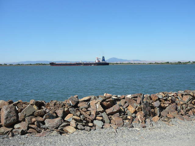 |
| 1322 | 20110728TW_ShipDiabloZoom.jpg View of ship on the river from the levee |
Twitchell Rice | 2011-07-28 09:15:17 | 2560x1920 | DMC-TZ1 | 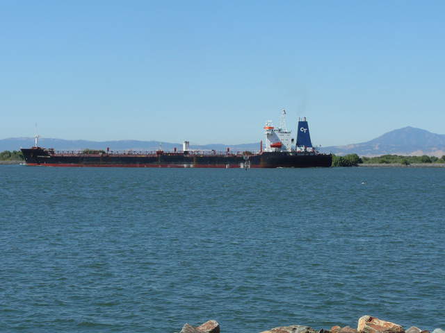 |
| 2108 | 20111214MB_Site.jpg View of the wetland from the levee north of Mayberry Slough |
Mayberry | 2011-12-14 14:30:59 | 4000x3000 | COOLPIX S9100 | 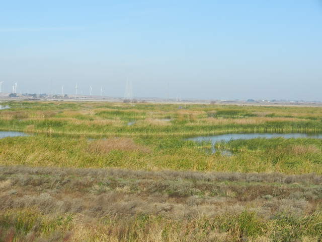 |
| 2106 | 20111214MB_MainTowerZoom.jpg View of the main tower from the levee north of Mayberry Slough |
Mayberry | 2011-12-14 14:31:14 | 4000x3000 | COOLPIX S9100 | 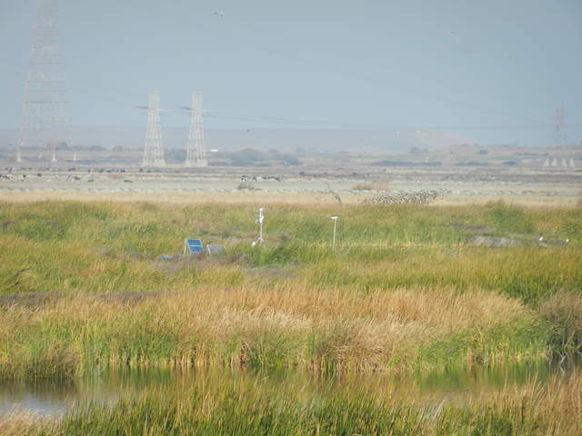 |
| 2111 | 20111214MB_TuleTowerZoom.jpg View of the Tule Tower from the levee north of Mayberry Slough |
Mayberry | 2011-12-14 14:31:22 | 4000x3000 | COOLPIX S9100 | 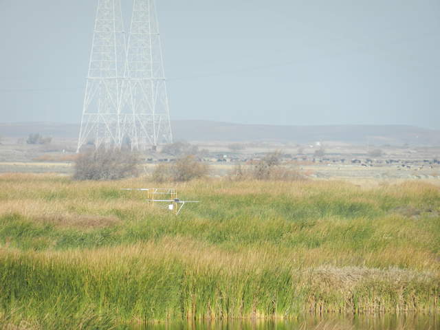 |
| 2231 | 20120125MB_RoadHole.jpg Hole in levee road to tower. |
Mayberry | 2012-01-25 09:15:19 | 4000x3000 | COOLPIX S9100 | 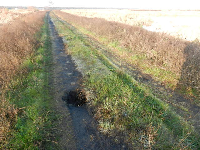 |
| 2232 | 20120125MB_RoadHole2.jpg Hole in levee road to tower. |
Mayberry | 2012-01-25 09:15:44 | 4000x3000 | COOLPIX S9100 | 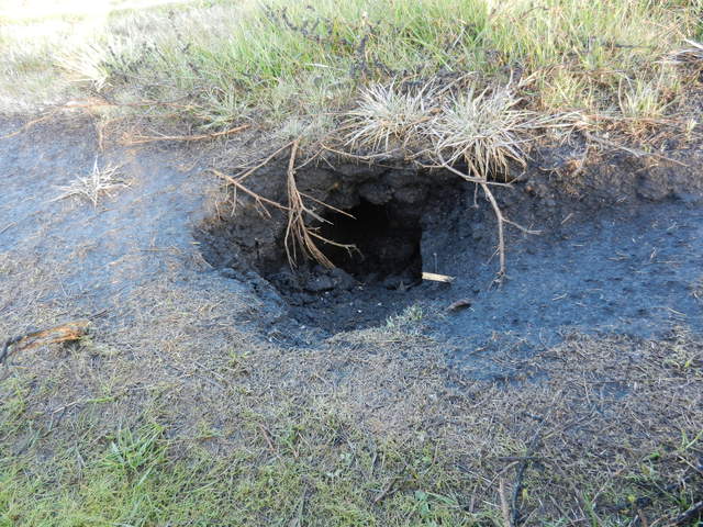 |

