Biomet Gallery
All Photos | Site Cam Gallery | Key words
Large Photos
Page: [1]
| ID | Name | Location | Date | Size | Camera | Thumb |
|---|---|---|---|---|---|---|
| 1617 | 20081105TW_NorthFootBridge.jpg Narrow bridge across drainage ditch |
Twitchell Rice | 2008-11-05 15:55:38 | 1536x2048 | Canon PowerShot S1 IS | 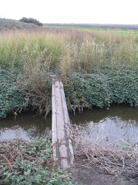 |
| 1752 | 20091204TW_LookingEastAcrossField1.jpg Foggy day at the flooded fallow rice field |
Twitchell Rice | 2009-12-04 10:28:48 | 2048x1536 | Canon PowerShot S1 IS | 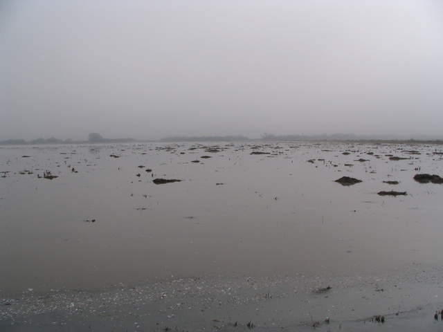 |
| 1755 | 20091204TW_TowerEastAcrossField1.jpg The rice tower across foggy flooded rice field |
Twitchell Rice | 2009-12-04 10:29:01 | 2048x1536 | Canon PowerShot S1 IS | 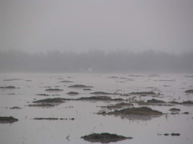 |
| 368 | 20100422SI_DiabloClouds1.jpg View of Mt Diablo across the river lenticular clouds |
Sherman Island | 2010-04-22 12:03:04 | 2048x1536 | Canon PowerShot S1 IS | 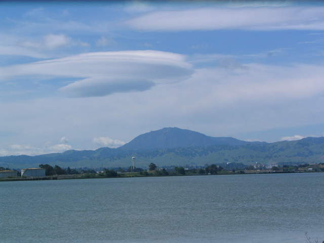 |
| 369 | 20100422SI_DiabloClouds2.jpg Long view of Mt Diablo across the river lenticular clouds |
Sherman Island | 2010-04-22 12:03:11 | 2048x1536 | Canon PowerShot S1 IS | 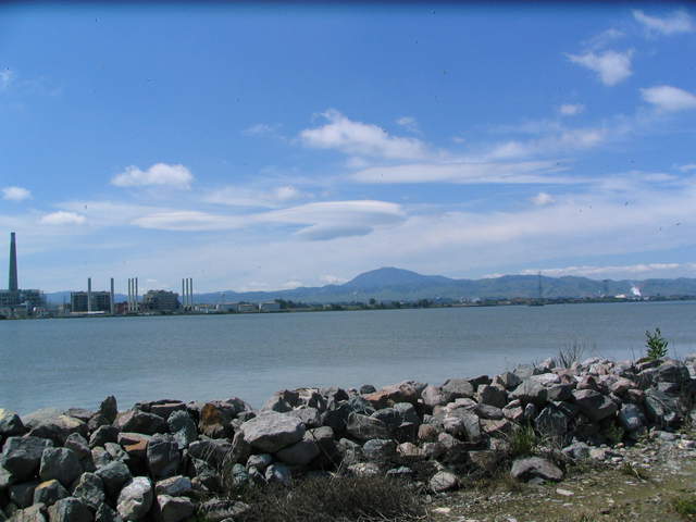 |
| 286 | 20100901MF_BlimpHangars.jpg Looking across the runways at the air ship hangar (Hangar 2). |
Moffett Field | 2010-09-01 11:35:58 | 4000x3000 | Canon PowerShot SX200 IS | 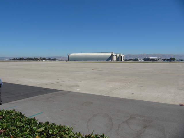 |
| 446 | 20101021MB_Site2.jpg Van and eddy site from across the pond |
Mayberry | 2010-10-21 10:06:29 | 3648x2736 | Canon PowerShot A480 | 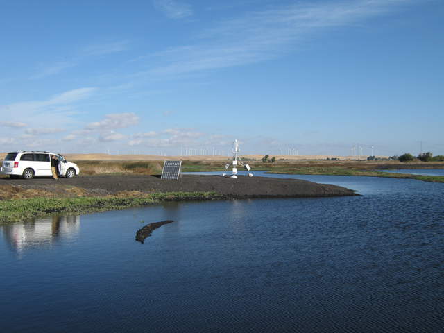 |
| 496 | 20101117MB_Coots.jpg Coots paddling across still water |
Mayberry | 2010-11-17 09:14:46 | 2560x1920 | DMC-TZ1 | 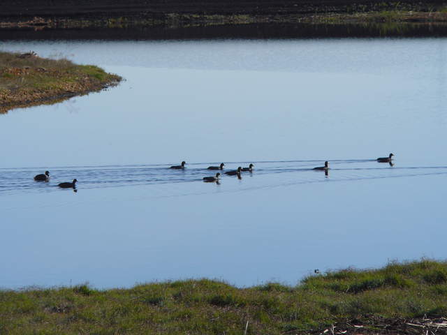 |
| 542 | 20110118TW_Ship1.jpg Ship in river across rice paddy |
Twitchell Rice | 2011-01-18 12:11:46 | 2560x1920 | DMC-TZ1 | 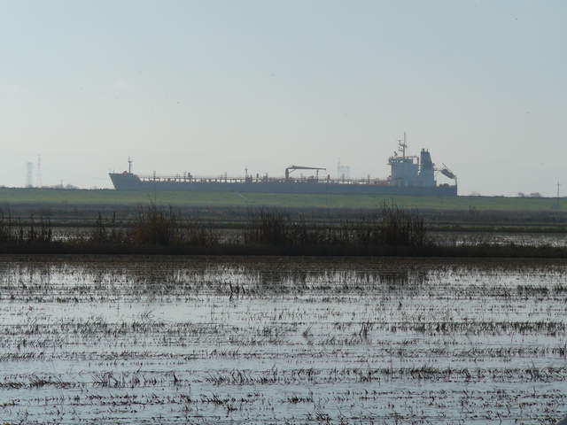 |
| 5388 | siwetland_2020_09_26_131405.jpg Metta walking across wetland. HMP155 and globe TC up for intercomparison. |
Sherman Wetland | 2020-09-26 13:15:52 | 1296x960 | StarDot NetCam SC | 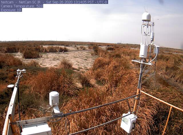 |
| 5749 | 20211021BA_DrivingConsequences.jpg Stringy, unmowed alfalfa are the consequences of driving across the field to the bouncer tower when the alfalfa was tall. |
Bouldin Alfalfa | 2021-10-21 17:33:06 | 1920x1440 | iPhone SE (1st generation) | 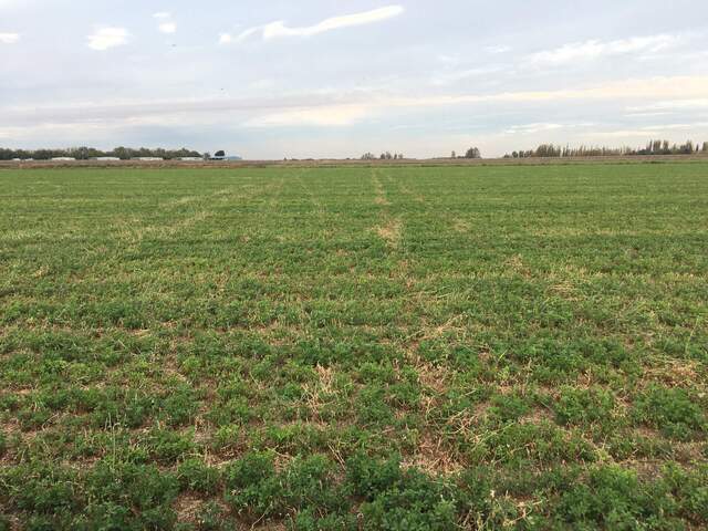 |
| 6222 | vaira_2021_12_06_150120.jpg Coyote? running across our footprint |
Vaira | 2021-12-06 14:57:44 | 1296x960 | StarDot NetCam SC | 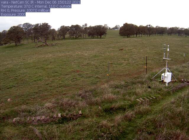 |
| 6269 | 20230302GT_SouthBank.jpg View from the south bank where the ADCP is installed, looking north across the channel. Not much submerged aquatic vegetation is visible today. |
Gilbert Tract | 2023-03-02 17:36:56 | 1440x1920 | iPhone SE (1st generation) | 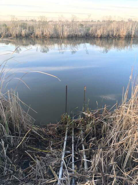 |
| 6304 | 20230503GT_SubmergedWeeds.jpg Lots of submerged aquatic vegetation along the southern bank of the Gilbert Tract channel, across from Flo the ADCP |
Gilbert Tract | 2023-05-03 10:56:47 | 1440x1920 | iPhone SE (1st generation) | 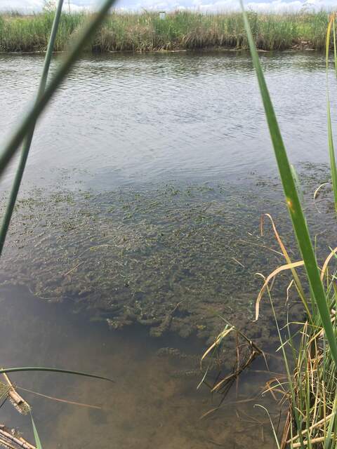 |
| 6404 | 20240212HS_Decking.jpg Some sort of plastic decking on the road across from our tower, running to the east. Maybe they're doing sort of construction out there? |
Hill Slough | 2024-02-12 17:10:56 | 1920x1440 | iPhone 8 | 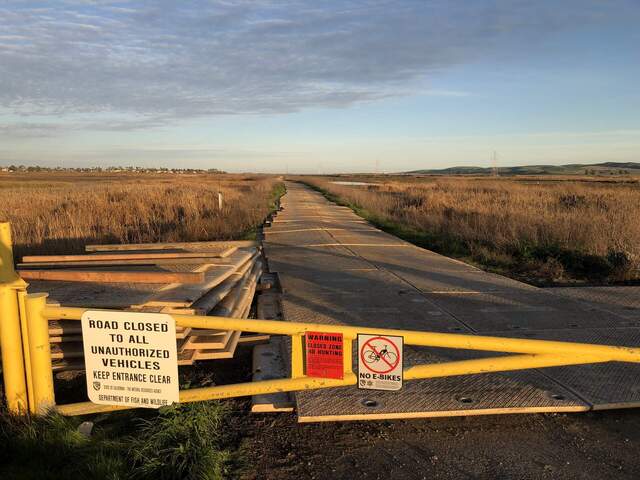 |
| 6748 | 20240625HS_KoongRobert.jpg Koong and Robert dragging soil coring equipment across the wetland. Taken between HSM_6 and HSM_4, and the water level got that low in that area during spring tide, even though it is close to the levees. |
Hill Slough | 2024-06-25 00:00:00 | 1440x1920 | unknown | 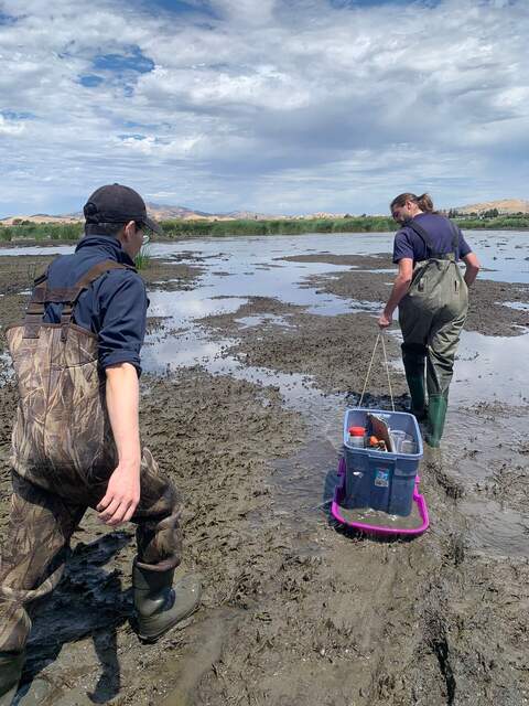 |
| 6791 | 20240814EL_ChamberCampaign.jpg Kuno, Hannah, and Arman trekking across the wetland |
Eden Landing | 2024-08-14 13:41:39 | 1920x1440 | iPhone 8 | 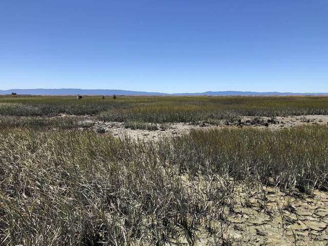 |

